Decades of climate research has established that the Earth is warming and that humans are a significant factor. Largely due to humans adding greenhouses gases to the atmosphere — through burning of fossil fuels, deforestation, and many other agricultural, industrial and human activities — the rise in temperatures over the past century has been unprecedented.
According to researchers at NASA and the National Oceanic and Atmospheric Administration (NOAA), 2016 was the warmest year in documented history. In fact, 16 of the 17 warmest years on record have occurred since 2001. By 2050, annual average temperatures are expected to rise in the United States by approximately 2.5 degrees Fahrenheit under even the most optimistic projections.
The rise in temperatures fuels many extreme weather events. Increased surface temperatures can cause extreme storms when combined with excess moisture and result in heavy precipitation, while causing drought-inducing heat waves in other parts of the world. Scientific advances, including better observational data, improved climate models, and more sophisticated detection methods have made it possible to attribute extreme weather events to rising global temperatures.
It is important to note that attributing individual extreme weather events to long-term climate trends, and accurately predicting future climate events, are still remarkably difficult endeavors.
Commenting on the global frequency of tropical cyclones, Michael Bell, associate professor of atmospheric science at Colorado State University wrote in an email to 24/7 Wall St, “While we do have strong evidence that extreme weather events are getting worse, it is still an active area of research to improve our confidence in attribution and projections of climate change impacts.”
Also commenting on the difficulty of making accurate predictions, meteorologist Stanley Goldenberg at the hurricane research division of NOAA wrote, “[W]e have a hard time reliably predicting an El Niño or La Niña event even 3-4 months in advance — and these are very robust climate phenomenon.”
Is global warming causing the worsening of the Earth’s weather? It is very likely that extreme weather events will occur more frequently and with greater intensity as the Earth continues to heat up. However, to avoid overstating the causal connections between such complex phenomenon, the appropriate framing for the question is whether global warming has altered the odds of extreme weather occurrences.
24/7 Wall St. reviewed regions in the United States where there is evidence of an association between climate change and exceptional weather events recorded recently in these regions.
Click here to see the places where weather is getting worse because of climate change.
Click here to see our detailed findings and methodology.
Source: mscornelius / Getty Images
1. Alaska
The significant increased wildfire activity in Alaska in recent decades is associated with manmade and natural factors. A Climate Science Special Report estimates the risk of devastating wildfires in the state has likely risen by 33%–50% and is projected to increase fourfold by the end of 21st century. The 2015 fire season in Alaska burned the second-largest number of acres since 1940, when record keeping began.
[in-text-ad]
Source: uclmaps / Flickr
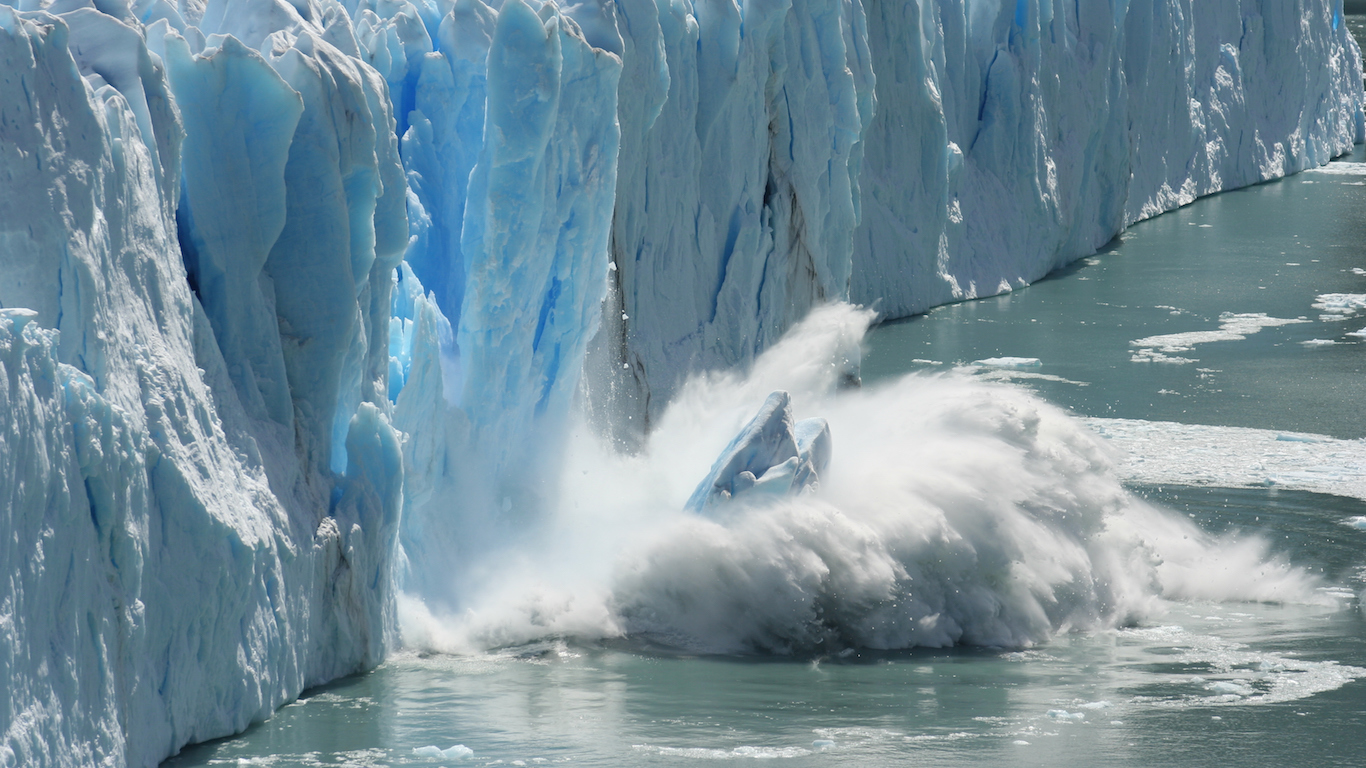
2. Arctic Ocean: Alaska
The amount of sea ice in the Bering and Chukchi seas that separate Alaska from Asia fell to 135,000 square miles last November, the lowest level for that time of year in 40 years.
Source: Ralph Freso / Getty Images
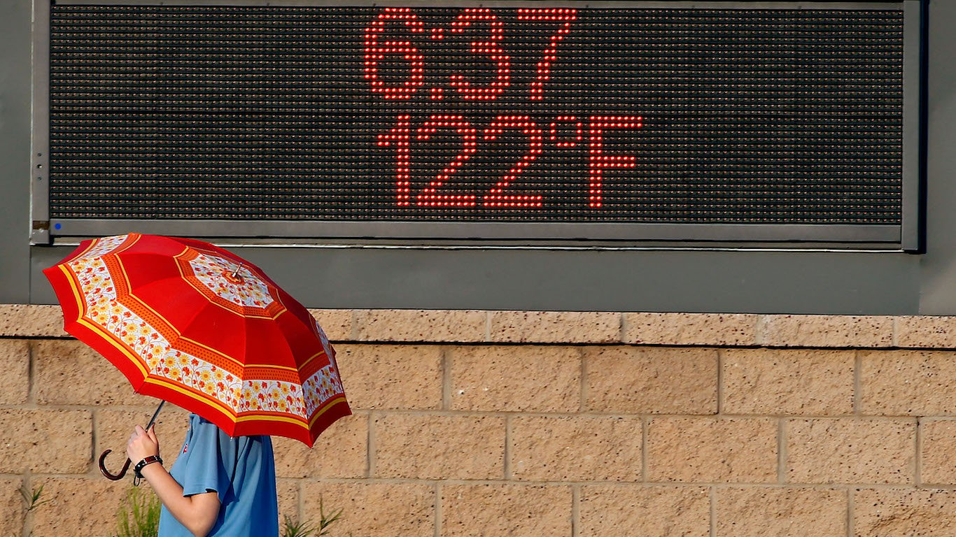
3. Arizona: Phoenix
In late June 2017, Phoenix, Arizona — always among the hottest cities in the nation — recorded a high temperature of at least 112 degrees for nine straight days, tying a previous city record set in 1990, according to the National Weather Service.

Source: valio84sl / Getty Images
4. Central Pacific: Near Hawaii
The central Pacific Ocean near Hawaii typically has cooler ocean temperatures and stronger vertical wind shear patterns, conditions not favorable to hurricanes. However, according to CSSR findings, the greater tropical storm activity in 2014 and 2015 was associated with warmer oceans and weaker vertical wind shear that was linked to the effects of El Niño and human-caused climate change.
[in-text-ad-2]
Source: IGphotography / Getty Images
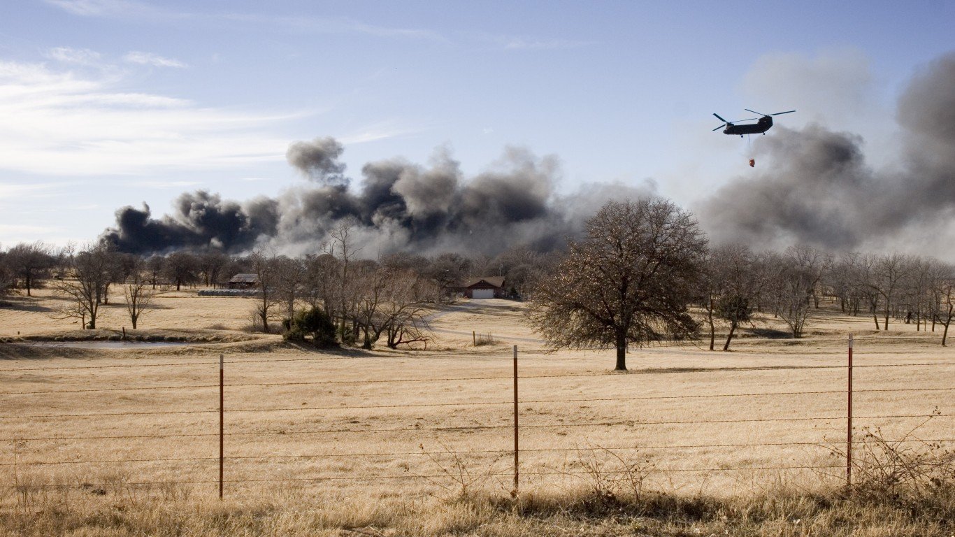
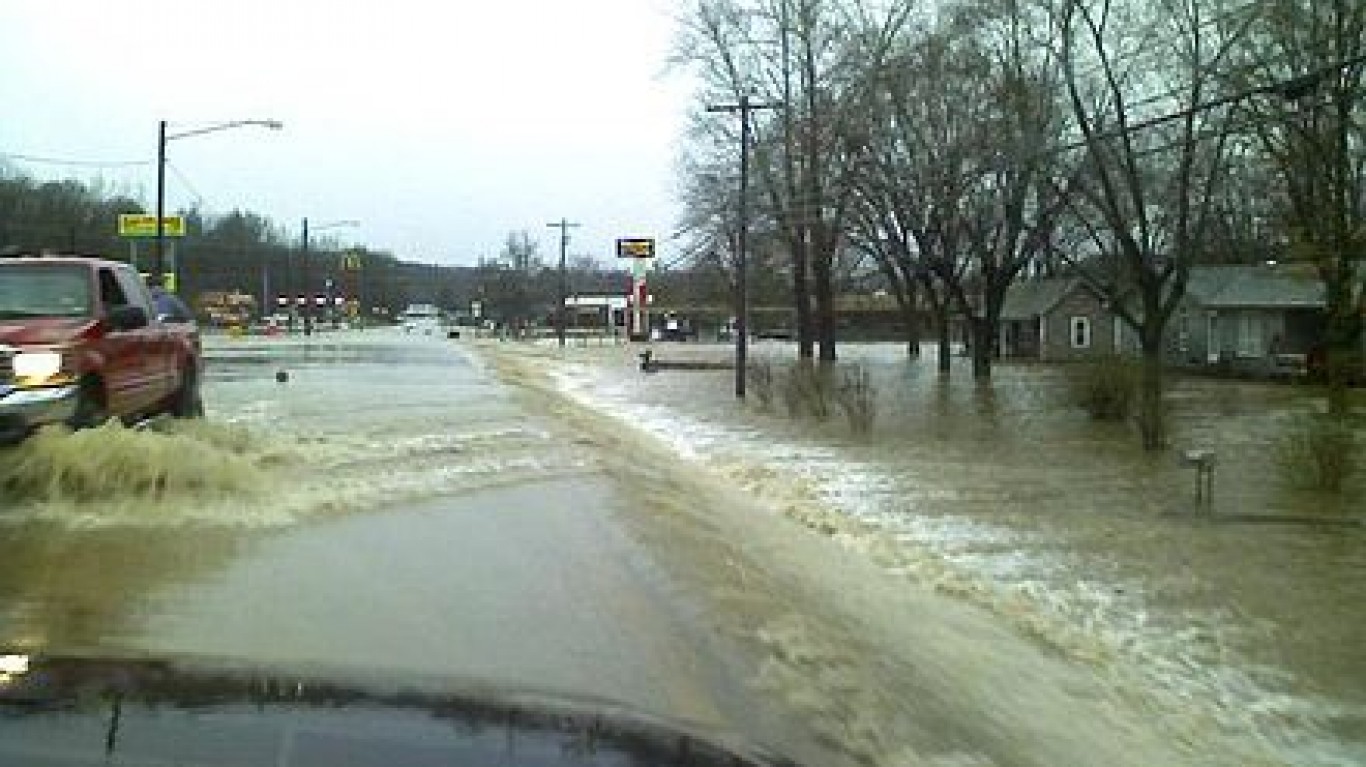
5. Central United States: Oklahoma
A drier-than-average winter, worsening drought conditions, and strong winds in the spring — some gusting over 40 mph — led to wildfires in April in Oklahoma and the central United States.
Scientists warn that man-caused global warming will likely increase the potential for wildfires. Weather conducive to fires is expected to become both more extreme and span longer times as a result of climate change.
Source: Codemaster / iStock
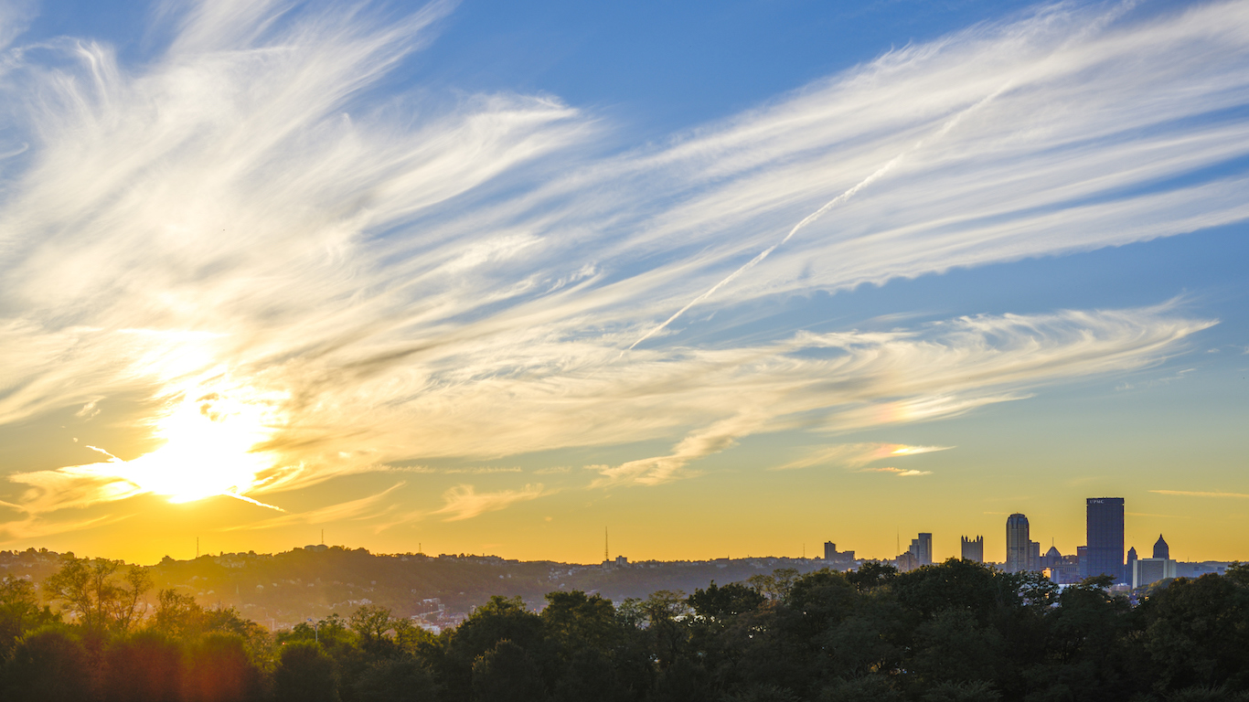
6. East Coast of North America: Pittsburgh, Cincinnati, Indianapolis, Charlestown
Cities in the eastern part of the United States — Pittsburgh, Pennsylvania; Cincinnati, Ohio; Indianapolis, Indiana; and Charleston, South Carolina — all recorded all-time high temperatures on Feb. 20, with a month of winter still remaining.
[in-text-ad]
Source: Famartin / Wikimedia Commons
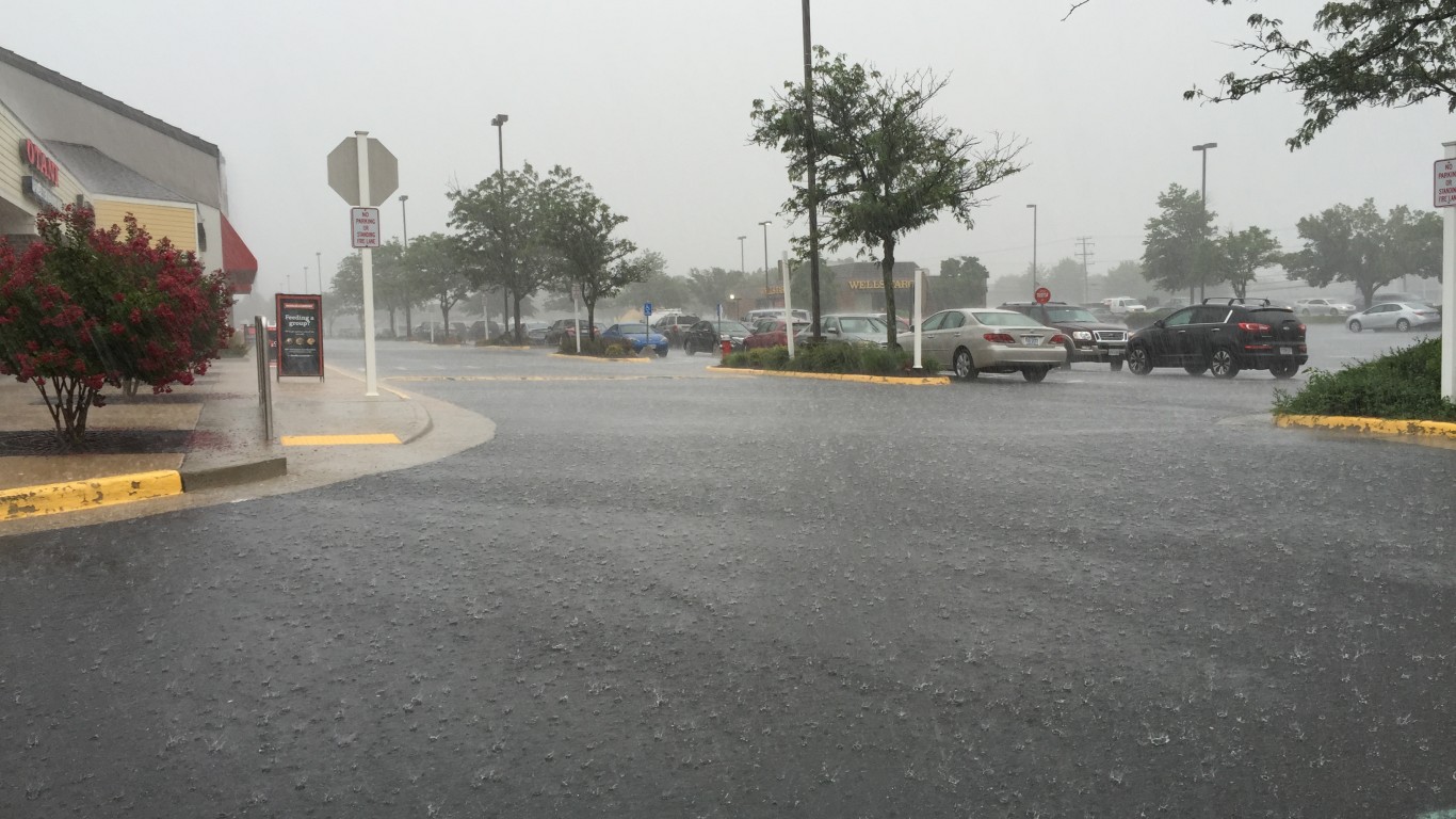
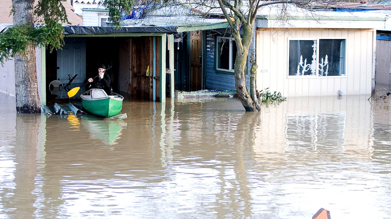
7. East Coast of North America: Maryland
On May 27, torrential rains west of Baltimore dumped as much as 10 inches of rain on the town of Catonsville, Maryland. Based on historical records, rainfall of such intensity occurs once every 500 years. Extreme weather events such as this are associated with climate change.
Source: Chip Somodevilla / Getty Images
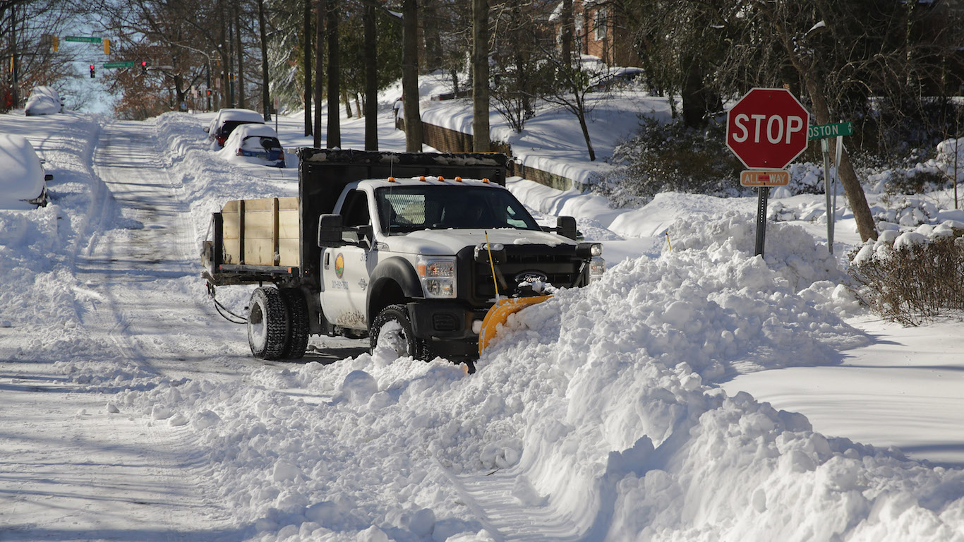
8. Mid-Atlantic: from Arkansas to Massachusetts
A slow-moving colossal blizzard in January 2016 impacted 100 million people from Arkansas to Massachusetts. The storm dumped 20 inches of snow or more on 21 million people. According to the Regional Snowfall Index, the blizzard was rated the fourth largest since 1900. Some scientists say the blizzard is an example of human-caused climate change because it was an extreme weather event.
Source: Chris McGrath / Getty Images
9. Northeastern United States
The amount of rain falling in the heaviest 1% of storms in the U.S. has been increasing over the last century, according to the National Climate Assessment. These extreme weather events are associated with human-caused climate change. The greatest increases have been in the Northeast, Great Plains, and the Midwest, and Southeast. In these regions more than 30% of rain fell above the 1901-1960 average.
[in-text-ad-2]
Source: ClaudioVentrella / Getty Images
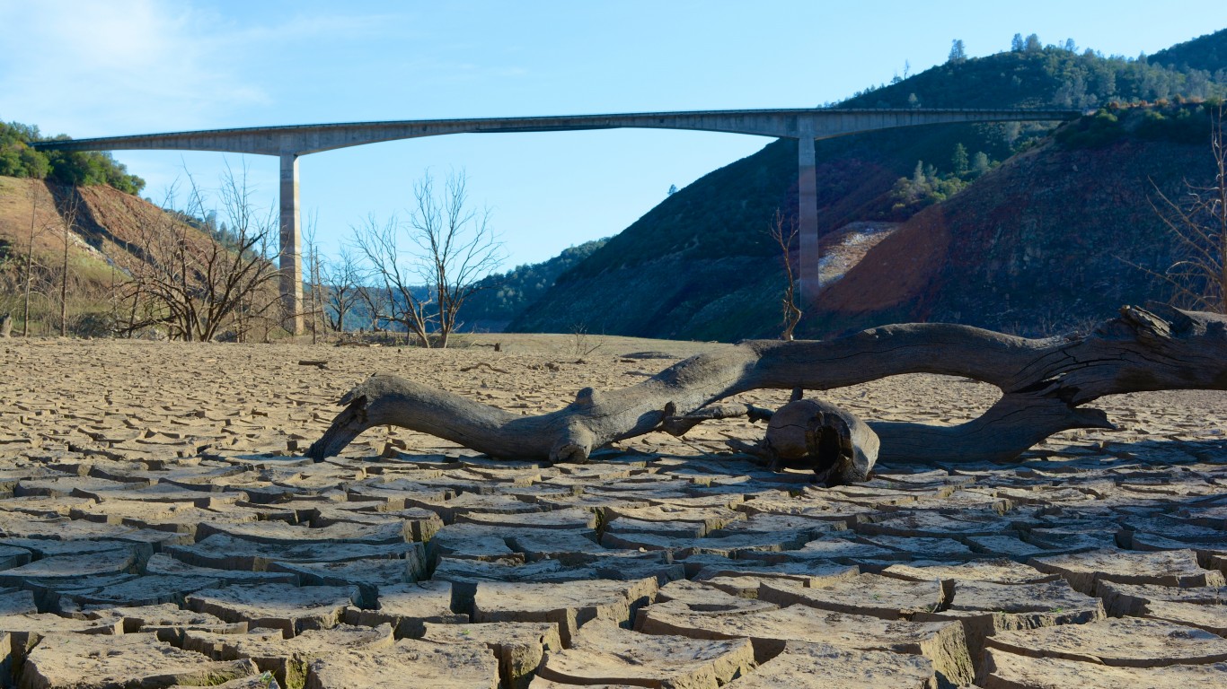
10. South-West United States: California, Arizona, Nevada
Drought intensified in the American Southwest at the beginning of spring. Fish in the Rio Grande had to be relocated and farmers along the Middle Rio Grande in New Mexico were told to expect half their irrigation allotment.
Source: GaylaWorrell / Getty Images
11. West Coast of United States: California
After the second driest winter on record, rain inundated California in March — one of the wettest Marches on record in the state. California usually gets most of its rain in the winter months. Scientists from the University of California, Riverside, predict the state will get an average of 12% more precipitation through the end of this century, compared with the last 20 years of the 20th century. They attribute this to warmer sea surface temperatures in the tropical eastern Pacific Ocean.
[in-text-ad]
Source: NASA Goddard Space Flight Center from Greenbelt, MD, USA / Wikimedia Commons
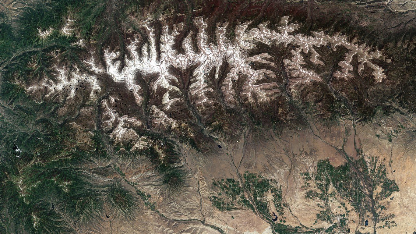
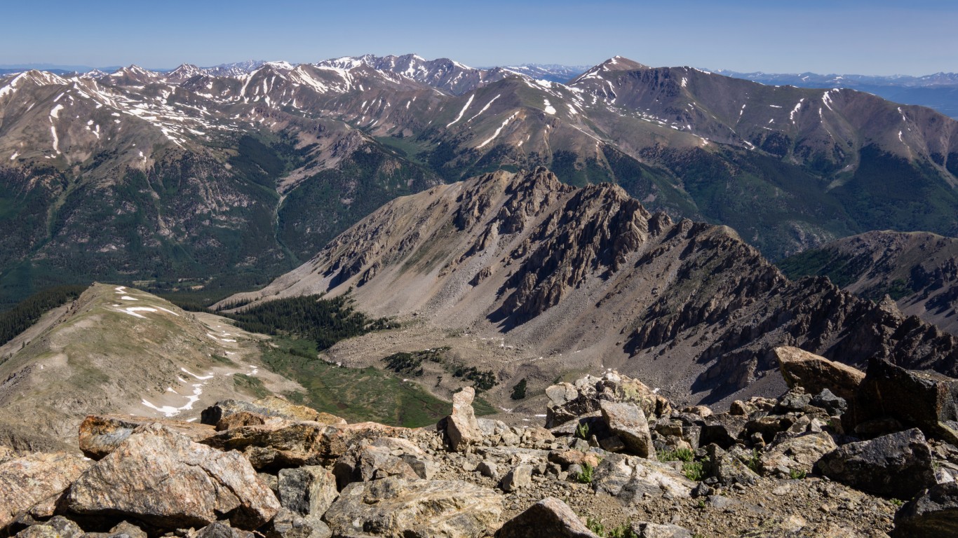
12. Western United States: Colorado, Utah, Caliornia
Snowpack in the western states was dramatically lower this past winter. In mid-February, statewide snowfall was down 85% in Colorado. Scientists say snowpack amounts have decreased over the last 50 years.
Source: thepicthing / Getty Images
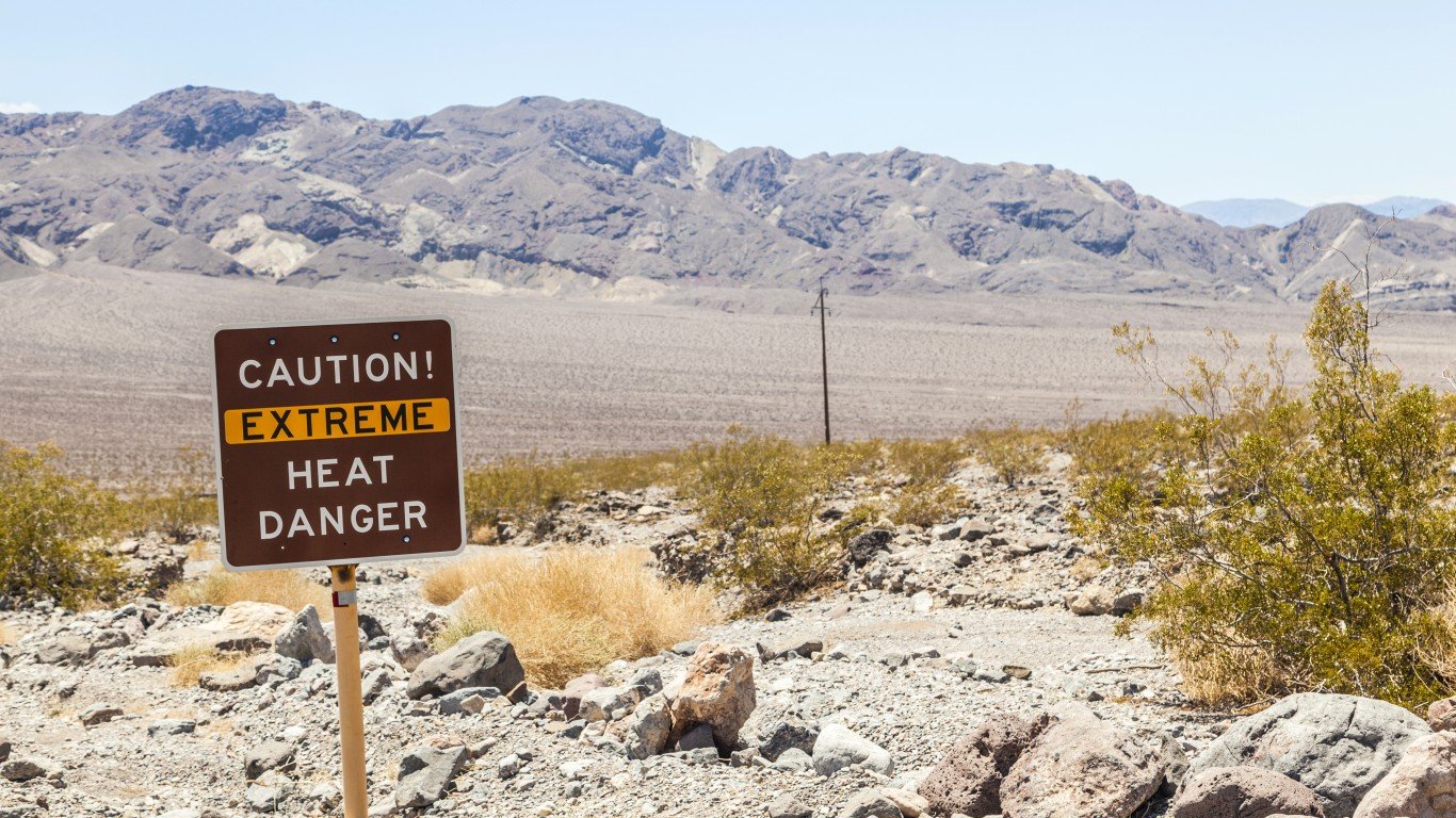
13. Western United States: California
California suffered through a prolonged drought that started gripping the country in 2012. Crop production plunged, crop prices doubled, and wells ran dry in the state in a year when the month of July was the hottest ever recorded in the United States.
Source: Sparty1711 / Getty Images
14. Western United States
The spring melt arrived faster in 2017 in the United States than the 30-year average. Scientists say because of human-caused climate change, spring is beginning about 2.5 days earlier every decade.
[in-text-ad-2]
Source: Meinzahn / Getty Images
15. Western United States
Heatwaves in the United States have become more frequent since the 1960s, while extremely cold temperatures and cold waves have occurred less often, according to a CSSR report. The annual average temperature over the contiguous United States has risen 1.8 degrees Fahrenheit for the period from 1901-2016.
Source: William Thomas Cain / Getty Images
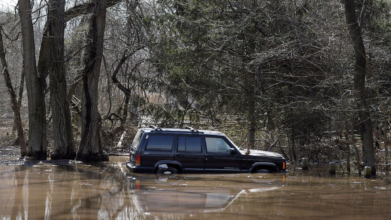
16. Northeastern United States: Pennsylvania, New York, New Jersey
Floods have become larger in rivers and streams across many sections of the Northeast from 1965 to 2015, according to data obtained from the Environmental Protection Agency. Large floods have become more frequent across the Northeast.
[in-text-ad]
Source: Stephen Brashear / Getty Images
17. Pacific Northwest: Coast of Washington State
Floods have become larger in rivers and streams across many sections of the Northwest from 1965 to 2015, according to data obtained from the EPA. Large floods have also become more frequent in the Pacific Northwest. Frequent flooding has forced the Hoh Native American people off their reservation in Washington state and they moved to higher ground.
Source: http://wikivisually.com/wiki/Category:Floods_in_the_United_States
18. Northern Midwest: Illinois, Ohio, Indiana
Floods have become larger in rivers and streams across many sections of the Midwest from 1965 to 2015, according to data obtained from the EPA. Large floods soaked the region in 1993, 2008, 2011, 2013, and 2014.
Source: Mark Wallheiser / Getty Images
19. South Florida
Daily water levels in Florida during king tides, the highest tides of the year, have increased over the period from 1994 to 2017, according to NOAA research. The report said the number of king tides has not increased, but the water level during king tides has risen since 1994.
[in-text-ad-2]
Source: Daniel Kirchner / iStock
20. Southwest: 4-Corners Region
An extended dry season in the Southwest meant little precipitation and no measurable snowfall for much of the region in January. Arizona was especially parched. That state’s drought woes began in October. At the start of the month, 11% of Arizona was in drought. By the end of October, 40% of Arizona was in the throes of a drought. Snowpack levels were lower than average in the Sierra Nevada and the Rockies. Contributing to the prolonged dry spell was higher-than-normal pressure, which led to a lack of moisture.
Detailed Findings
Global warming is expected to have far reaching consequences. The ongoing reduction in sea ice will continue to increase sea levels. Already droughts and wildfires are plaguing many parts of the globe. And it is likely that extreme storms and weather as well as major flood events will become even more prevalent.
About half of the 7 to 8 inches of global average sea level rise since 1900 has occurred since 1993. While the Dust Bowl of the 1930s remains the most extreme drought and heat event in U.S. history, recent droughts have set records for intensity in parts of the United States, and both increasing drought and heavier rainfall have been projected for different parts of California. The January 2016 Blizzard dumped over 20 inches of snow on 21 million people in the Northeast United States, making the storm the fourth largest out of nearly 200 recorded in the region since 1900.
A warmer Earth can even help explain cold spells or unusually big snowfall. For example, the lack of ice on Lake Erie during the warm winter of 2006 (the first time the lake did not freeze over in its history) helped provide more evaporation from the lake, which led to above average snowfalls.
Exceptional weather and climate events of all kinds are included on this list of U.S. regions.
Methodology
To identify the places in the United States where weather is getting worse because of climate change, 24/7 Wall St. reviewed regions in the United States where evidence has supported an association between climate change and exceptional weather events. The places within each region have recently documented record-breaking climate or weather events.
We spoke with multiple climate scientists and reviewed various data and sources. To be considered, places needed to be referenced in the findings of the U.S. Global Change Research Program Climate Science Special Report. We also considered global ocean surface temperatures from NASA, historical land temperature records from NOAA, reports by the Union of Concerned Scientists, and climate research published in the science journal Nature.
Sponsored: Find a Qualified Financial Advisor
Finding a qualified financial advisor doesn’t have to be hard. SmartAsset’s free tool matches you with up to 3 fiduciary financial advisors in your area in 5 minutes. Each advisor has been vetted by SmartAsset and is held to a fiduciary standard to act in your best interests. If you’re ready to be matched with local advisors that can help you achieve your financial goals, get started now.
Thank you for reading! Have some feedback for us?
Contact the 24/7 Wall St. editorial team.
Editors' Picks