The Least Crowded Countries in the World
September 17, 2018 by John HarringtonThe United Nations reports that the world’s population is now about 7.6 billion, and it is growing constantly. According to projections by the Population Research Bureau (PRB), an 80-year old non-profit organization that collects and analyzes data about population, health, and the environment, that figure will reach 9.9 billion by 2050.
An estimated 71% — 40,825,000 square miles — of the Earth’s dry land is considered habitable, which works out to an average of one square mile for (roughly) every 186 of us. That’s not bad as density goes. It’s just a slightly higher concentration than what you would find in the Seychelles or Andorra, neither of which is particularly overrun with people.
Of course, population is far from evenly distributed. Anyone who has ridden a subway in Tokyo at rush hour or, at the other extreme, trekked across the vacant gypsum dunes at White Sands in New Mexico in early morning knows that first-hand.
It’s at that latter extreme that 24/7 Wall St. has determined which countries around the world have the lowest population densities. We drew information the World Bank, CIA Factbook, the United Nations, media reports, and online encyclopedias and geographic reference materials to compile our list.
Click here to see the least crowded countries in the world.
Click here to see the most crowded countries in the world.
Click here to read detailed findings and methodology.
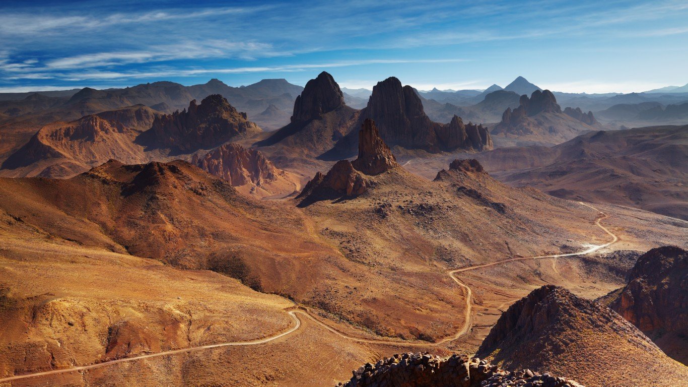
30. Algeria
> Population density: 44.9 people per square mile
> Population: 41,318,142
> Land area: 919,595 square miles
> Population growth (1990-2017): 59.5%
Algeria is the largest nation in Africa by physical size. Four-fifths of it is covered by the unforgiving Sahara Desert and most of the roughly 41 million Algerians live on the Mediterranean coast. The capital Algiers is densely populated with an estimated 3.7 million people — more than 11,000 people per square mile.
Algeria was once rife with landmines along its borders. However, the nation removed nearly 9 million of the devices dating back to the colonial time and declared itself landmine-free in January 2017.
[in-text-ad]
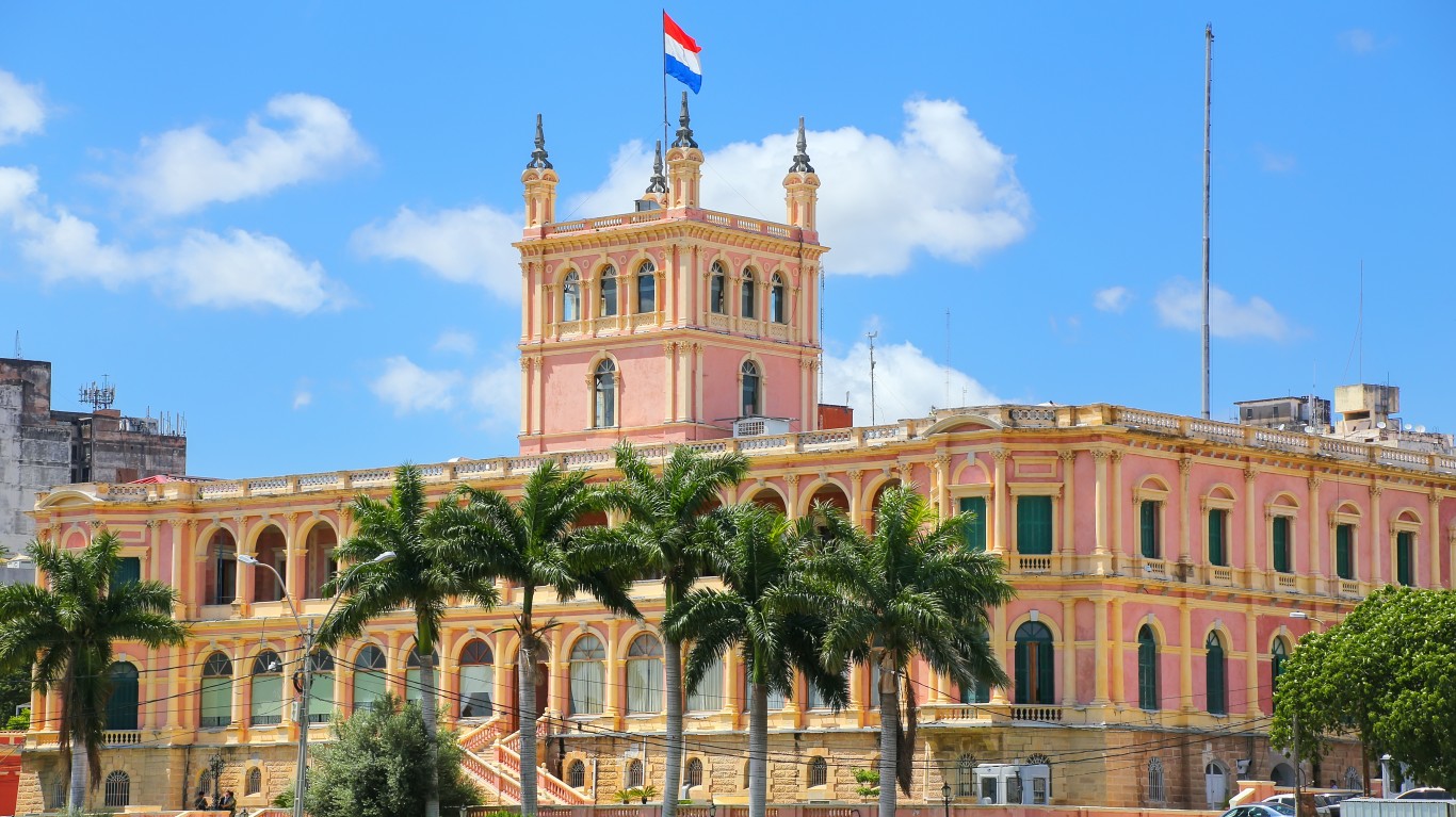
29. Paraguay
> Population density: 44.4 people per square mile
> Population: 6,811,297
> Land area: 153,398 square miles
> Population growth (1990-2017): 61.6%
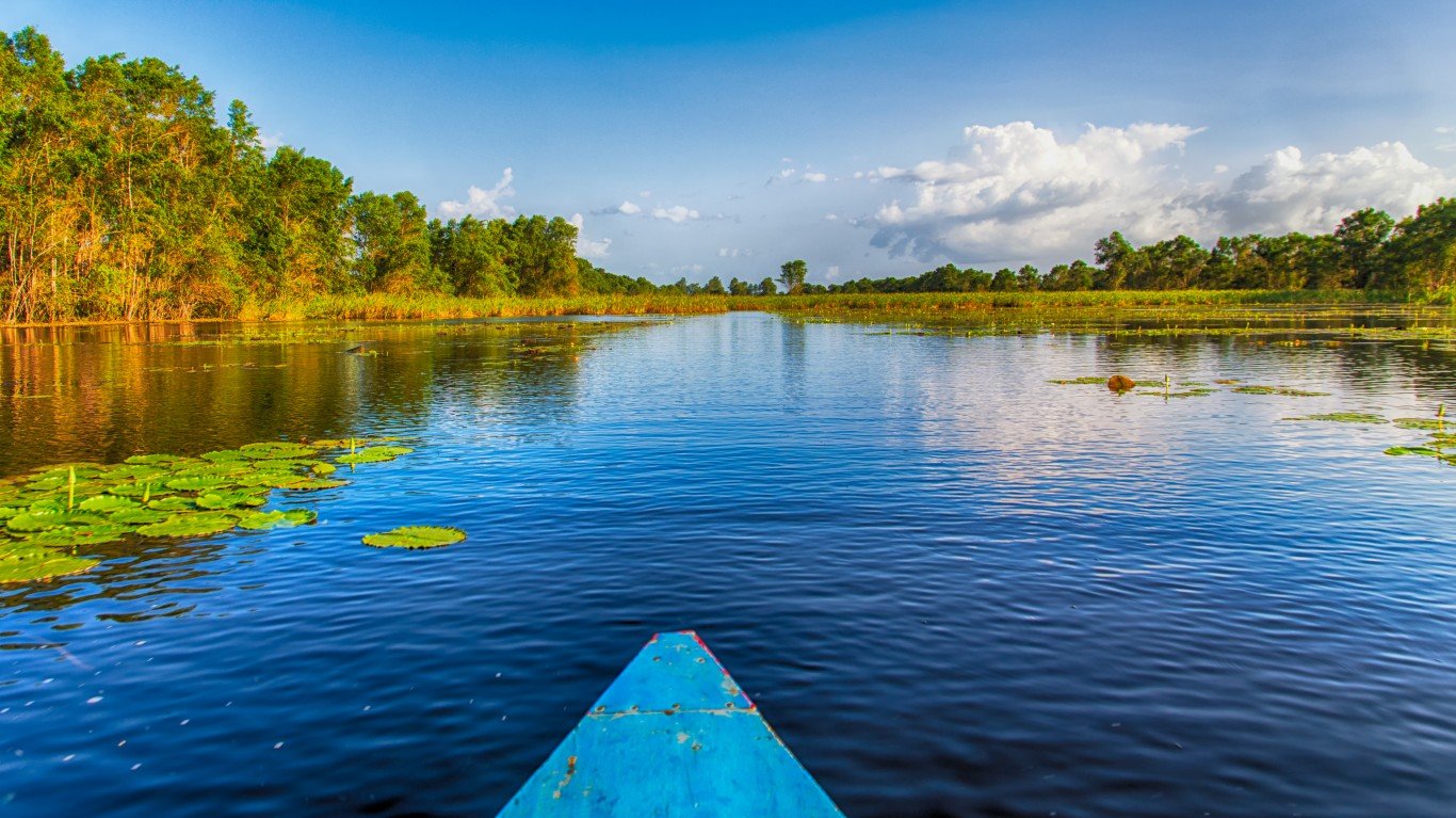
Rivers have played an important role in the history of the landlocked South American nation of Paraguay. Among them are the Paraguay and the Pilcomayo Rivers. Indeed, the latter half of the country’s name means “river that gives birth to the sea.” Only a small percentage of the nation of 6.8 million lives west of the Paraguay River. More land is becoming arable, however. In 2015, 12.1% of Paraguay’s land was deemed arable, compared with just 1.8% in 1961, according to data from theGlobalEconomy.com and the World Bank that surveyed 193 countries.
Paraguay’s population has more than doubled since 1970 to over 6 million. A big reason is the drop in the nation’s infant mortality rate, to 18.8 per 1,000 live births in 2017, from 30.8 in 2000.
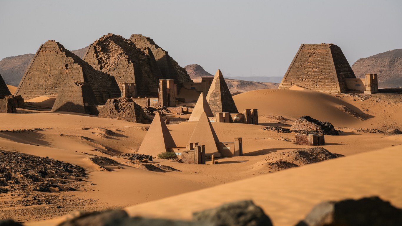
28. Sudan
> Population density: 44.2 people per square mile
> Population: 40,533,330
> Land area: 917,378 square miles
> Population growth (1990-2017): 101.2%
Sudan is one of the biggest nations in Africa, bordered by Libya, Egypt, Eritrea, and Ethiopia, South Sudan, the Central African Republic, and Chad. Sudan also has a coastline on the Red Sea. The central and eastern areas of Sudan have the highest mean annual temperatures, climbing above 100 degrees. There is almost no rainfall in the north, while the country’s southern part gets up to 30 inches of precipitation yearly.
Sudan has been riven by violence throughout its history. More recently, conflict between Muslims in the northand Christians and animists in the south led to a splitting of the country and the creation of South Sudan in 2011. These battles have claimed about 1.5 million lives.
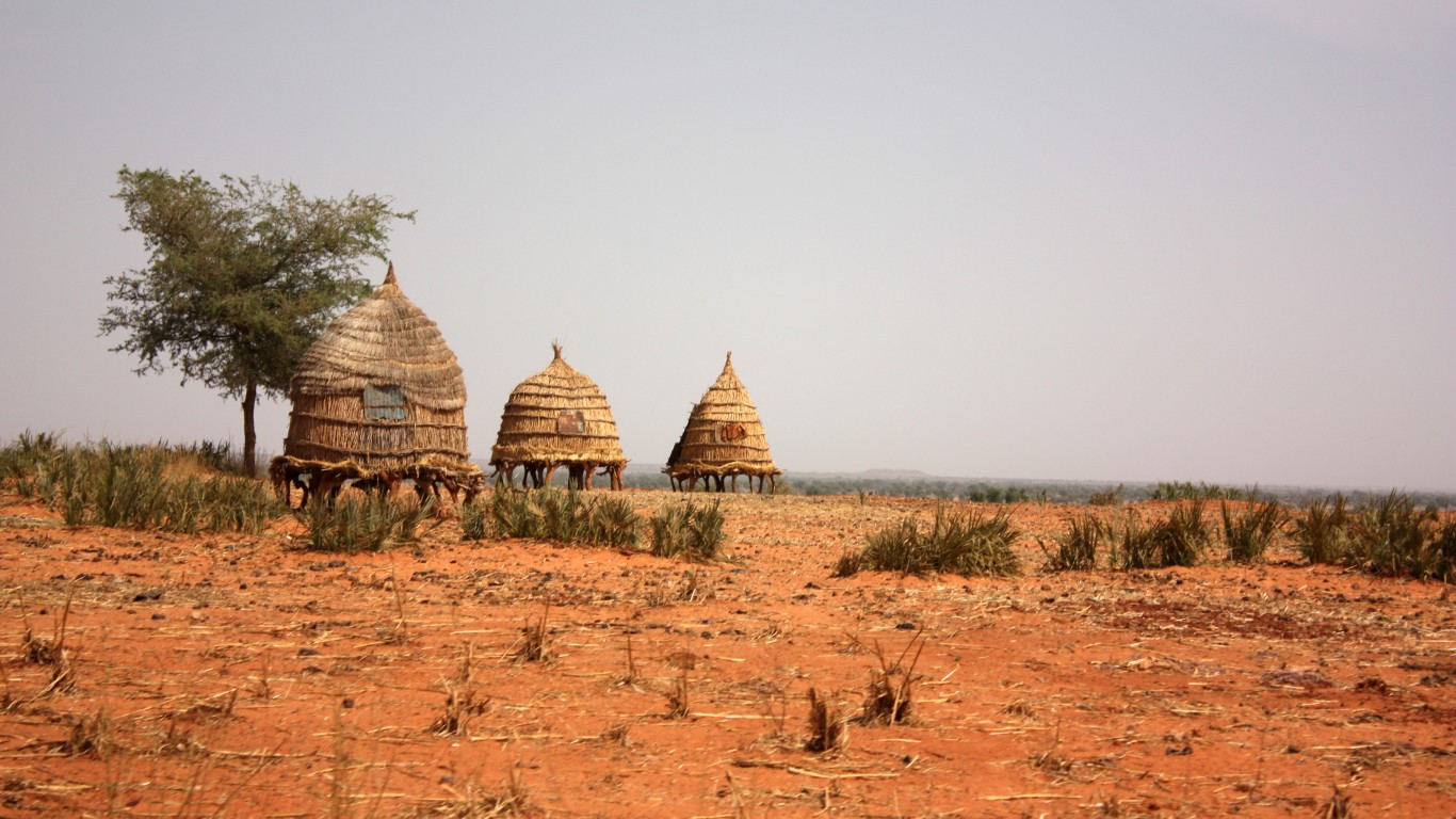
27. Niger
> Population density: 43.9 people per square mile
> Population: 21,477,348
> Land area: 489,075 square miles
> Population growth (1990-2017): 168%
Niger is an arid nation beset by a host of problems — drought, famine, disease, political uncertainty, and slavery. Landlocked and in western Africa, Niger is bordered by Algeria, Libya, Chad, Nigeria, Benin, Burkina Faso, and Mali. Despite its troubles, Niger’s population is increasing: It has posted a 168% gain since 1990. According to data from theGlobalEconomy.com and the World Bank, the amount of arable land has risen to 13.3% in 2015 from 9.1% in 1961. Most of Niger’s population lives in the south, where there is more rainfall and arable land.
[in-text-ad-2]
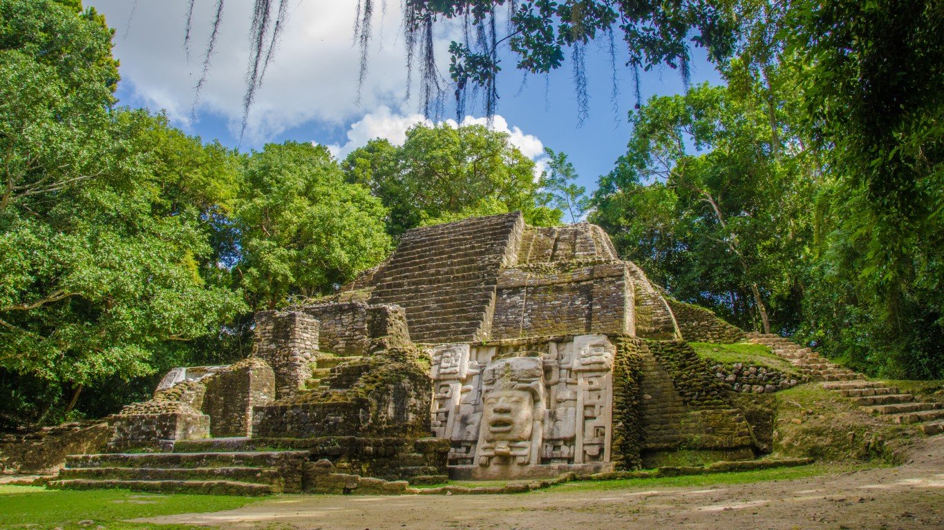
26. Belize
> Population density: 42.5 people per square mile
> Population: 374,681
> Land area: 8,807 square miles
> Population growth (1990-2017): 99.8%
Belize, a Central American nation, was the last British colony on the Western Hemisphere mainland (it was formerly known as British Honduras). Its population is growing at a rate of 2.5% a year, and by 2020, the number could reach about 390,000. Mestizos, a mix of Maya and Spanish peoples, comprise 50% of the country’s population Belize has 3.4% of arable land, a jump from 1.6% in 1961, according to theGlobalEconomy.com and the World Bank.
An ongoing concern for Belize is its relations with neighboring Guatemala, which has made territorial claims on it.
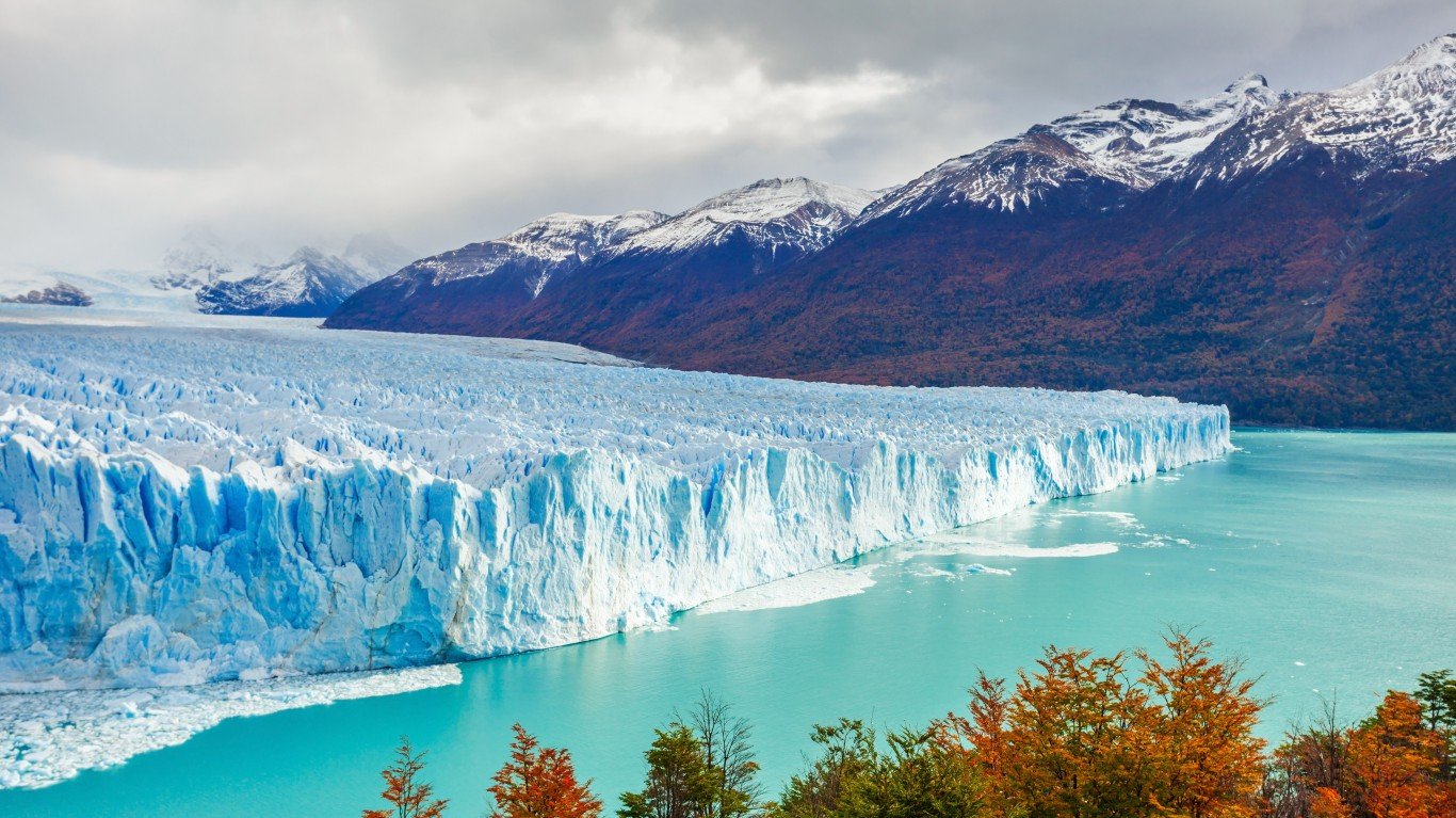
25. Argentina
> Population density: 41.9 people per square mile
> Population: 44,271,041
> Land area: 1,056,641 square miles
> Population growth (1990-2017): 35.3%
Argentina is the second-biggest nation in terms of land mass in South America. Within Argentina are part of the Andes Mountains, swamplands, the Pampas plains, and an Atlantic Ocean coastline. As vast as the nation is in geographic terms, 92% of Argentina’s population lives in cities. Its 10 biggest metropolitan areas account for about half of the population of more than 44 million. Some 26% of the population is under the age of 15, below the world average of 29.6.
[in-text-ad]
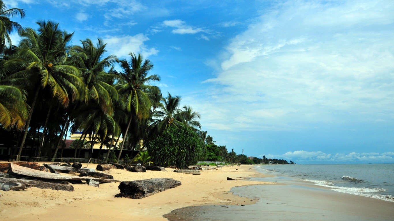
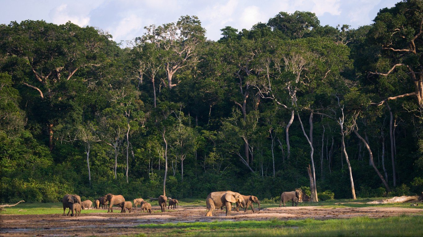
24. The Republic of the Congo
> Population density: 39.9 people per square mile
> Population: 5,260,750
> Land area: 131,854 square miles
> Population growth (1990-2017): 115.6%
The Republic of the Congo, located in central Africa, is known for its extensive rainforests that provide shelter for gorillas. In the country, just 1.6% of the land is arable, one of the world’s lowest, according to theGlobalEconomy.com and the World Bank. A report from the World Bank said the Congo Basin’s population, of which the Republic of the Congo is a part, may double to 170 million by 2030. The report also noted that the region’s countries could receive higher levels of foreign investment during this development cycle.
 24/7 Wall St.
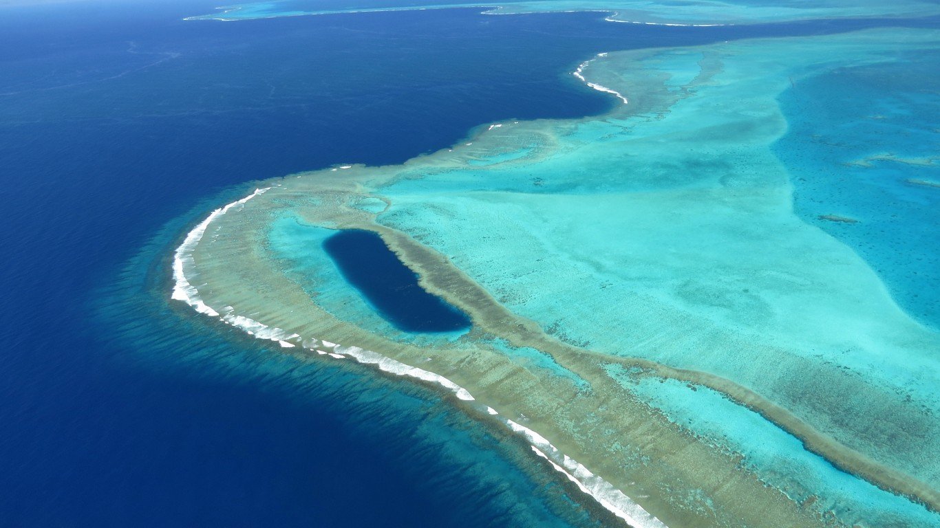
23. New Caledonia
> Population density: 39.7 people per square mile
> Population: 280,460
> Land area: 7,058 square miles
> Population growth (1990-2017): 64.1%
New Caledonia, a French overseas territory in the Pacific Ocean, about 750 miles east of Australia, is grappling with a decision to remain part of France or become independent. New Caledonia’s population has been steadily increasing. Based on United Nations estimates,12 people are born in New Caledonia each day, while five people die. Only 0.3% of the land in New Caledonia is arable, one of the lowest in the world, according to theGlobalEconomy.com and the World Bank.
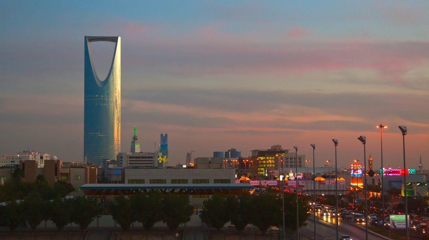
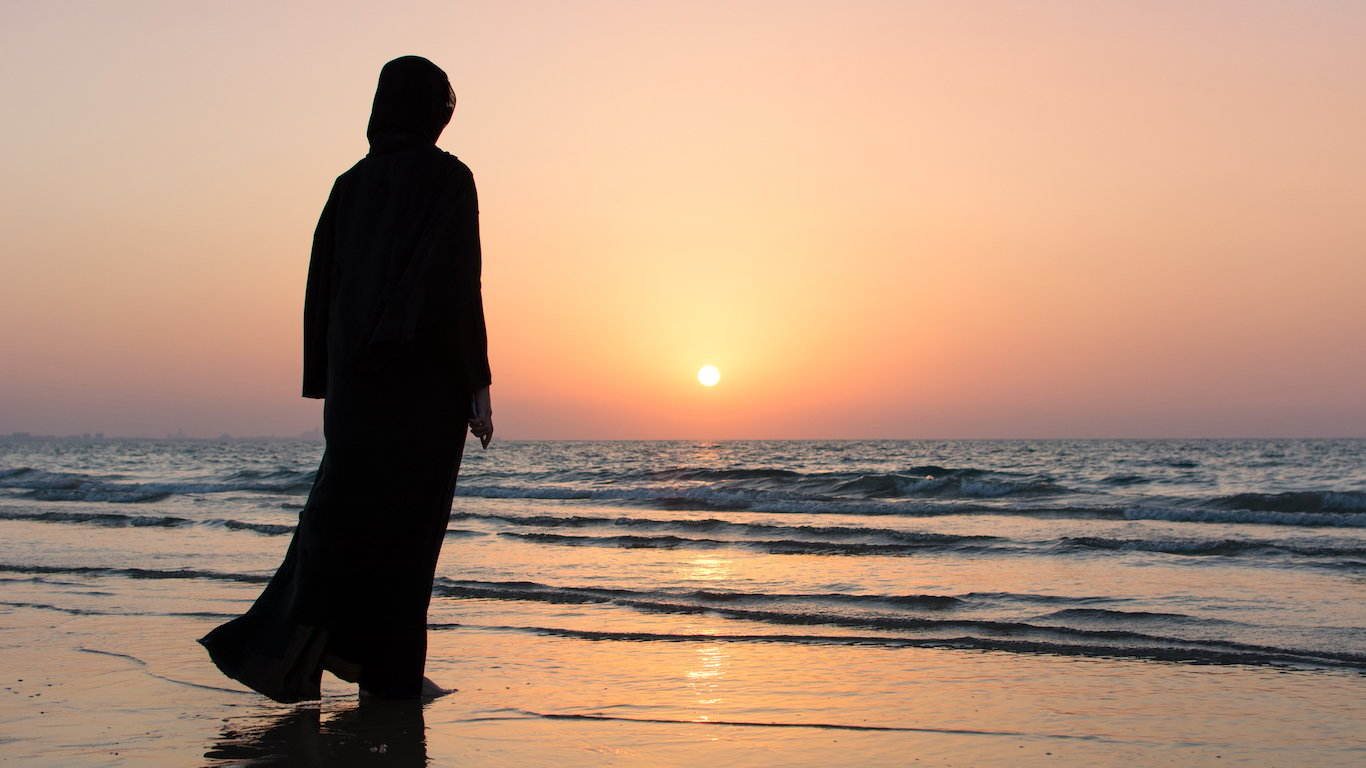
22. Saudi Arabia
> Population density: 39.7 people per square mile
> Population: 32,938,213
> Land area: 830,000 square miles
> Population growth (1990-2017): 101.7%
When you think of Saudi Arabia, you probably think of oil and desert. And even though the vast desert on the Arabian Peninsula is mostly uninhabitable, Saudi Arabia’s population has climbed to almost 33 million people, double that of just 30 years ago.
Though the median age in Saudi Arabia is around 30.2 years old, that is expected to rise in the decades ahead. A Euromonitor report forecast a decline in the pace of its population increase. The report added that Saudi Arabia’s population growth will be 14.2% in the 2020s, after rising by more than 63% in the 1980s. The trend is fueled by falling birthrates and expected lower migration to the kingdom.
[in-text-ad-2]
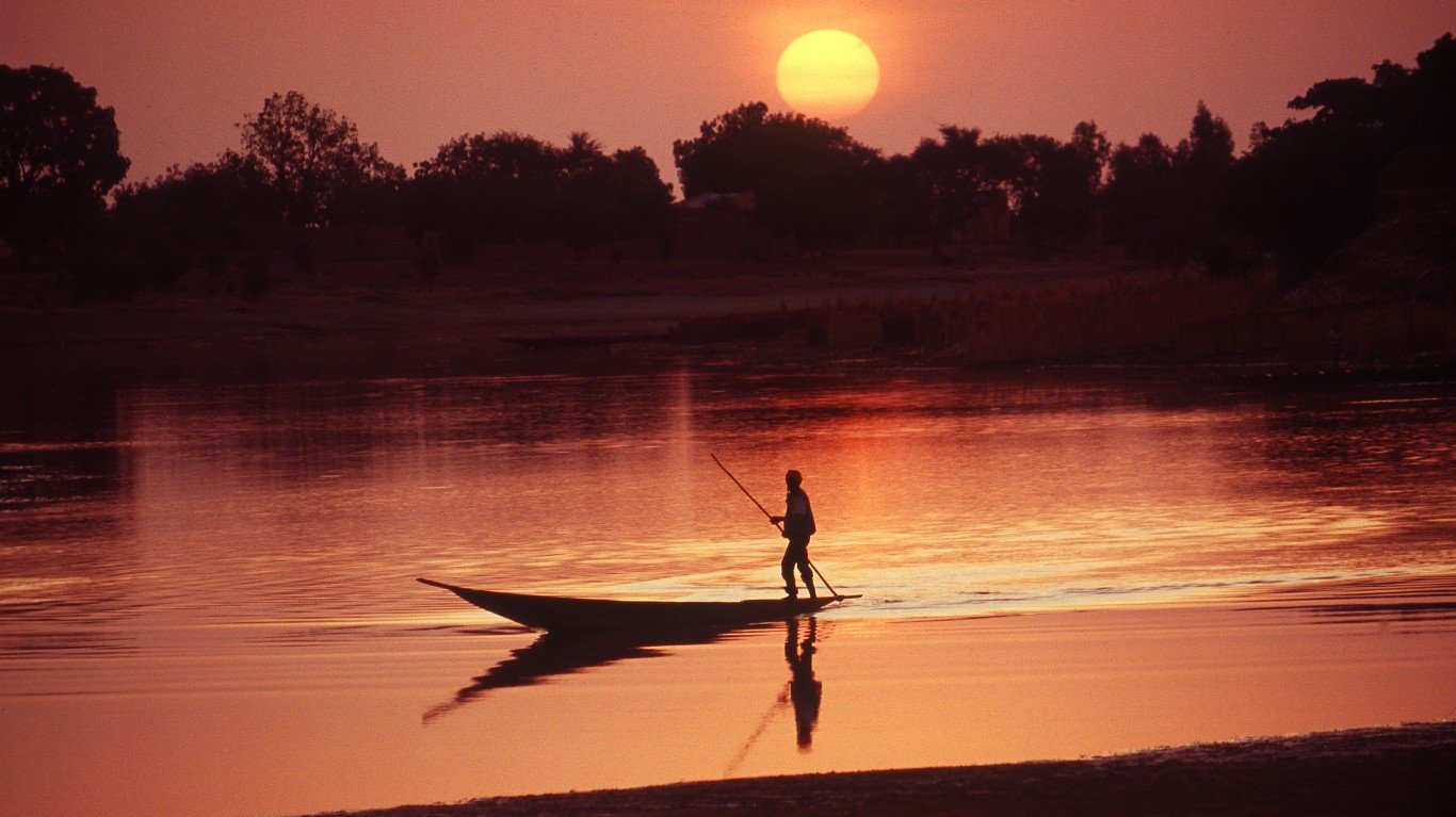
21. Mali
> Population density: 39.4 people per square mile
> Population: 18,541,980
> Land area: 471,118 square miles
> Population growth (1990-2017): 119%
Mali is a landlocked nation in western Africa and a former French colony. Its population density is low because of a dearth of rainfall, more than half of the country is in the Sahara Desert, and the relentless effects of desertification that bring on famine and drought. Desertification has driven many inhabitants, mostly men, to leave rural areas for the cities and to search for work in Europe. As a result, birthrates have fallen. The median age in Mali is 15.8 years, one of the world’s youngest. Mali is also one of the poorest nations in Africa and lacks communication and transportation infrastructure.
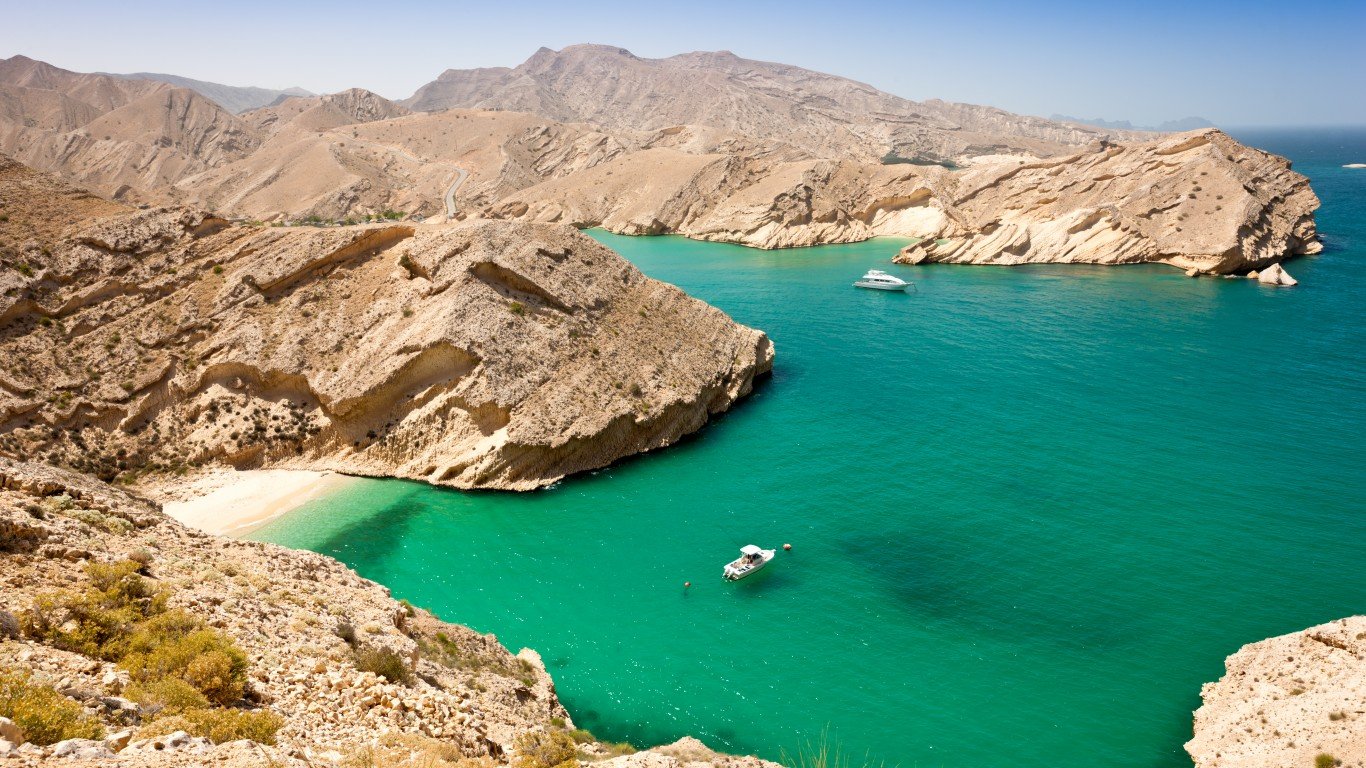
20. Oman
> Population density: 38.8 people per square mile
> Population: 4,636,262
> Land area: 119,499 square miles
> Population growth (1990-2017): 155.8%
Oman occupies a strategically important position on the eastern shore of the Arabian Peninsula. The nation has the smallest percentage of arable land in the world at 0.1%, according to theGlobalEconomy.com and the World Bank.
Oil was discovered in Oman in 1964, and Sultan Qaboos bin Said has used much of the largesse from the resource o modernize the nation by developing its infrastructure. As recently as 1975, the nation’s population was just over 882,000, and now it has more than 4.6 million.
[in-text-ad]
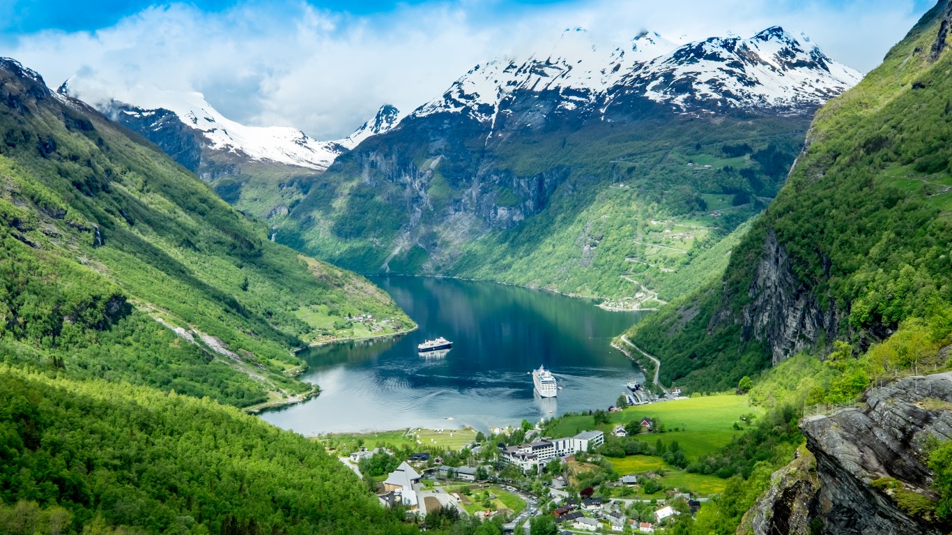
19. Norway
> Population density: 37.5 people per square mile
> Population: 5,282,223
> Land area: 141,022 square miles
> Population growth (1990-2017): 24.5%
Europe’s northernmost nation is famed for its long winters and spectacular fjords. One-fifth of Norway’s population lives in its four largest cities, with the nation’s capital, Oslo, the biggest, with more than 648,000 people. Only 2.2% of the nation’s land is arable, one of the world’s lowest, based on data from theGlobalEconomy.com and the World Bank.
Oil and gas deposits were discovered in the North Sea off of Norway in the 1980s, and those resources provide about one-third of Norway’s yearly export earnings.
 24/7 Wall St.
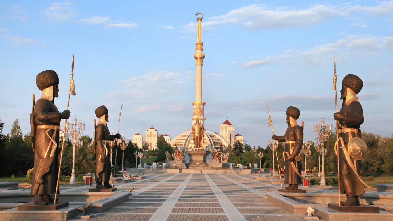
18. Turkmenistan
> Population density: 31.7 people per square mile
> Population: 5,758,075
> Land area: 181,441 square miles
> Population growth (1990-2017): 56.3%
Turkmenistan, rich in natural gas reserves, is one of the world’s most isolated nations. It has one of the lowest population densities on earth because much of the country, located in Central Asia, is covered by the Karakum Desert. The most densely populated areas of Turkmenistan are in the south, east, and northeast. The most sparsely inhabited region is in the west.
Turkmenistan, once a part of the Soviet Union, also is one of the most closed nations in the world, where dissent is not tolerated and the state controls the media.
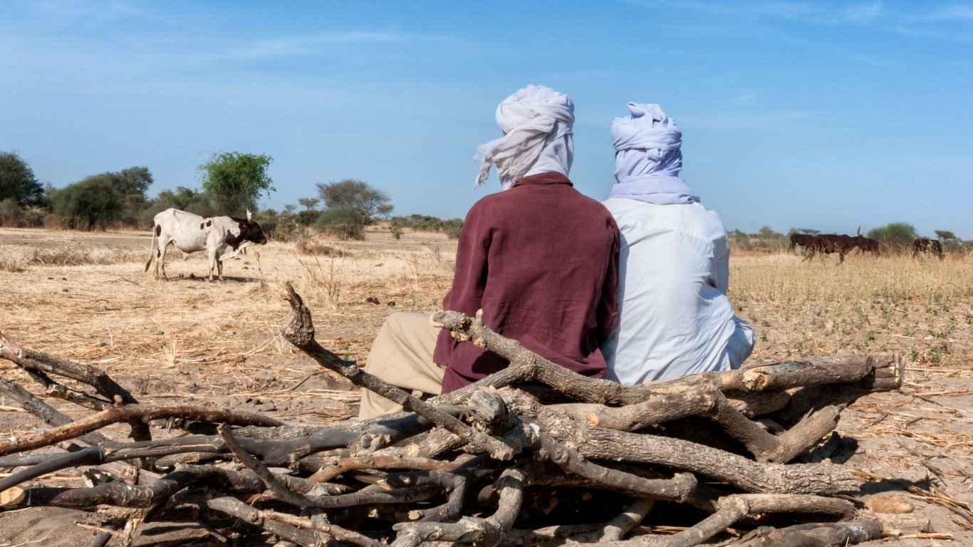
17. Chad
> Population density: 30.6 people per square mile
> Population: 14,899,994
> Land area: 486,180 square miles
> Population growth (1990-2017): 150.1%
Chad is a landlocked country in north-central Africa surrounded by Libya, Sudan, Central African Republic, Cameroon, Nigeria, and Niger. Like some of its neighbors, Chad has struggled with prolonged conflicts, droughts, and famines — all factors that have suppressed its population density.
Climate and physical environment are other reasons for the country’s uneven population distribution. The Saharan zone to the north is sparsely populated with nomads. Most of Chad’s people live in its southern, more agricultural, zone, where there is more rainfall.
[in-text-ad-2]
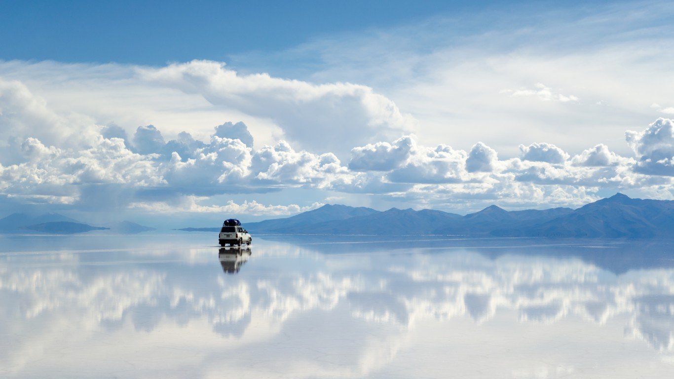
16. Bolivia
> Population density: 26.4 people per square mile
> Population: 11,051,600
> Land area: 418,264 square miles
> Population growth (1990-2017): 61.2%
Bolivia, one of the highest-elevated and most isolated nations in South America, is one of the continent’s more politically stable nations. It is also one of the poorest. In 1999, the World Bank reported that the nation’s poverty rate was 67% overall, and 81% in rural areas. Poverty in rural regions has prompted an exodus from those areas to more urban parts of Bolivia. Poverty is a prime factor behind the infant mortality rate of 67 children per 1,000, and for maternal mortality rates of 3.9 per 1,000. These factors contribute to low population density.

15. Russian Federation
> Population density: 22.9 people per square mile
> Population: 144,495,044
> Land area: 6,323,142 square miles
> Population growth (1990-2017): -2.6%
If demographics is destiny, then Russia’s future looks bleak. For decades, the country’s fertility rate has not kept pace with its mortality rate. As a result, its population has been declining. It’s the only nation among the 30 least-crowded countries in the world to report a population decline since 1990, which coincides with when the Soviet Union was disintegrating.
Demographers have been forecasting a longer-term population decline in Russia since the demise of communism because of a prolonged economic depression. There also is the belief that Russia’s population drop is continuing because of the impact of Western economic sanctions stemming from Russia’s annexation of Crimea in 2014.
[in-text-ad]
14. Gabon
> Population density: 20.4 people per square mile
> Population: 2,025,137
> Land area: 99,487 square miles
> Population growth (1990-2017): 112.7%
Gabon, on the Equator in western Africa with an Atlantic Ocean coastline, has had stable leadership since it gained independence from France in 1960. It has had just three presidents. One of them, Omar Bongo, served as president for 42 years. Its population has risen more than 112% since 1990.
Gabon is a major oil producer. The nation had 2 billion barrels of proven oil reserves as of the end of 2012 and is one of the wealthier African nations.
13. Central African Republic
> Population density: 19.4 people per square mile
> Population: 4,659,080
> Land area: 240,534 square miles
> Population growth (1990-2017): 58.5%
Instability has plagued the Central African Republic since it gained independence from France in 1960. Following brutal dictatorial rule by Jean-Bedel Bokassa, and a coup led by troops supported by France, the military ran the country until Ange-Félix Patassé became president. Patasse attempted political and economic reform, but he was accused of corruption and was ousted in 2003. The current president of the Central African Republic is Faustin-Archange Touadéra.
The country has been ripped apart by Muslim-Christian sectarian violence in recent years that has killed thousands. Even so, the Central African Republic’s population has risen more than 58% since 1990.
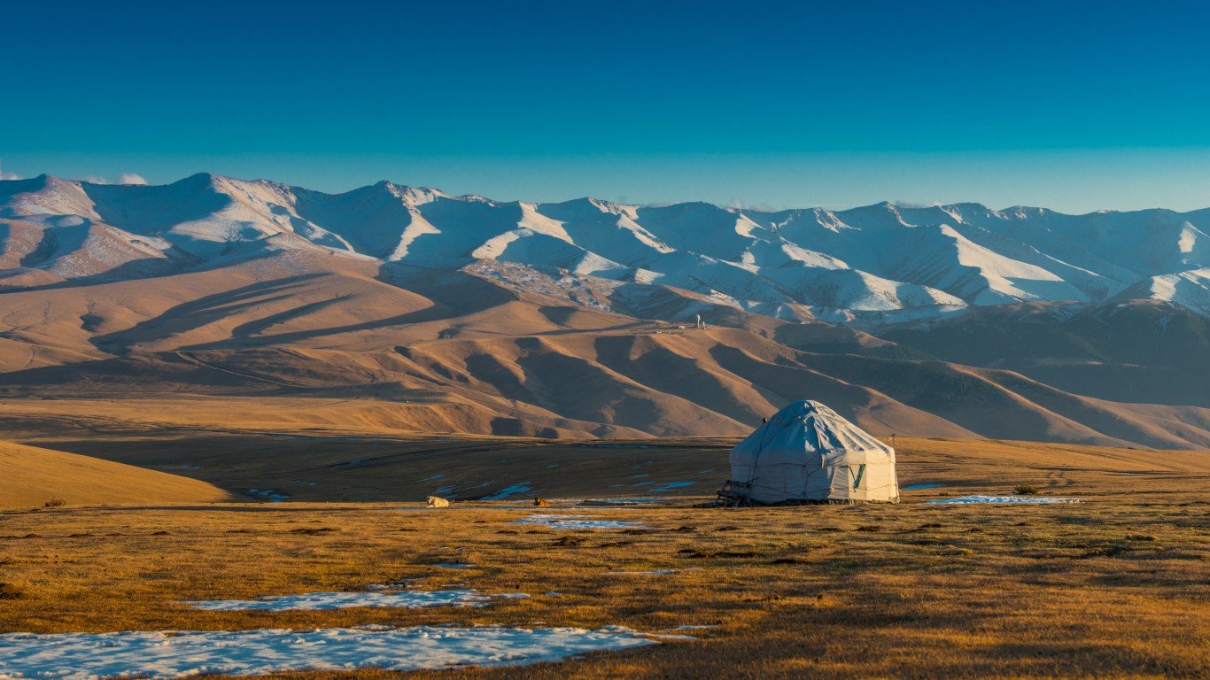
12. Kazakhstan
> Population density: 17.3 people per square mile
> Population: 18,037,646
> Land area: 1,042,360 square miles
> Population growth (1990-2017): 10.3%
The Kazakhs were nomads who trekked over the steppes of what is now Kazakhstan near the Chinese border. In terms of land area, Kazakhstan is the world’s ninth-largest country. It has broad expanses of desert near the Aral Sea — which itself is shrinking — in the south. Temperature extremes of minus 49 degrees in winter and 113 degrees in summer have been recorded in Kazakhstan.
When the nation achieved independence following the demise of the Soviet Union in 1991, most people in the newly created country were not Kazakhs, but Russians. Since independence, more Russians have moved out, and more Kazakhs have migrated to Kazakhstan from other parts of the former Soviet Union.
[in-text-ad-2]
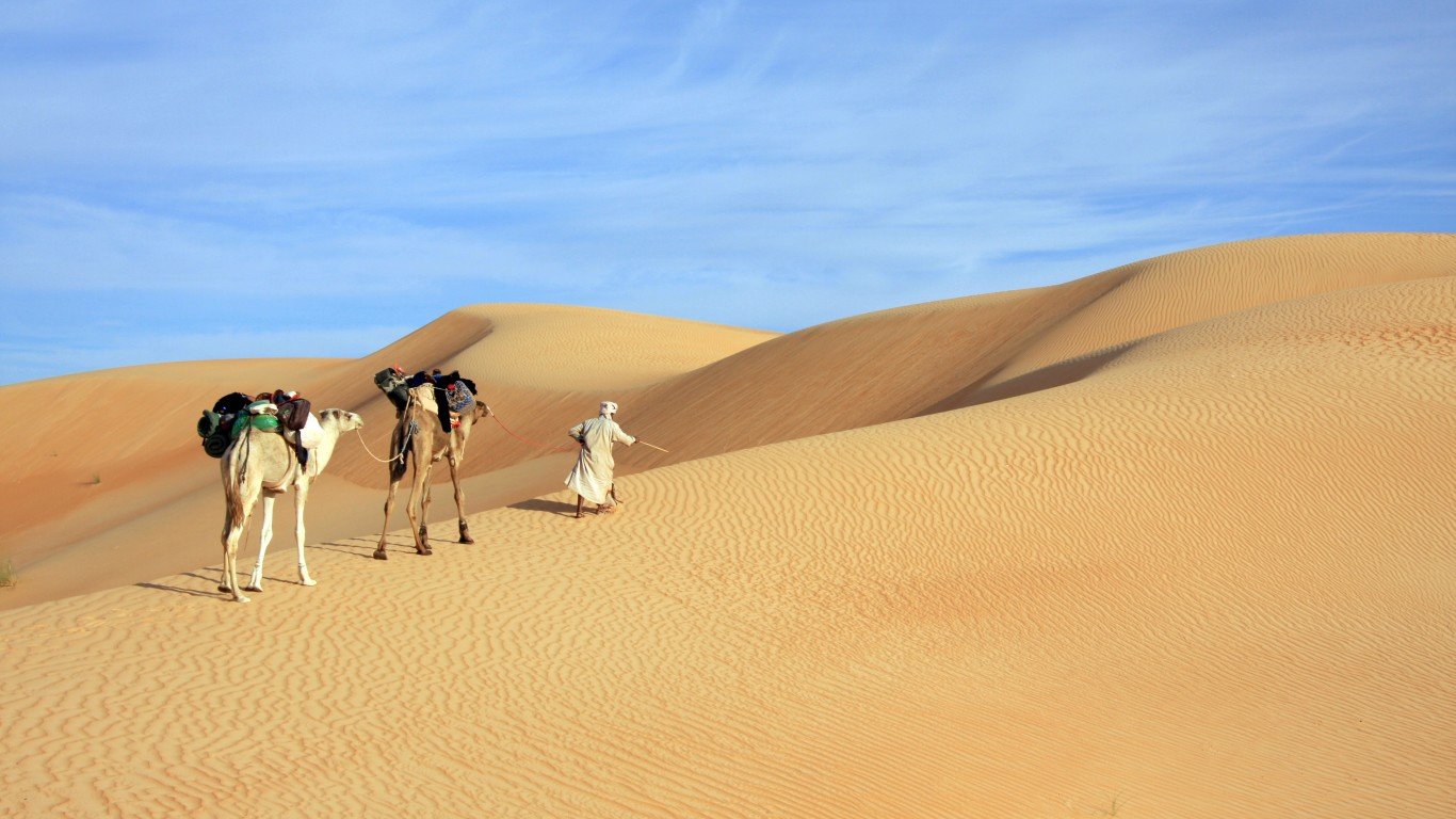
11. Mauritania
> Population density: 11.1 people per square mile
> Population: 4,420,184
> Land area: 397,955 square miles
> Population growth (1990-2017): 117.7%
Mauritania may be one of the least-crowded nations on earth, but this western African nation has posted population growth of more than 117% since 1990. Ethnically, the nation is divided into the Arab-Berber section to the north and black Africans to the south. Mauritania also has one of the world’s youngest populations, with a median age of 19.9 years. The CIA World Factbook said the nation’s fertility rate of 4 children per woman means the country’s population will grow “for the foreseeable future.”
Just 0.4% of Mauritania’s land is arable, one of the smallest percentages in the world, according to theGlobalEconomy.com and the World Bank.
10. Botswana
> Population density: 10.5 people per square mile
> Population: 2,291,661
> Land area: 218,816 square miles
> Population growth (1990-2017): 66.3%
The African landlocked country of Botswana, surrounded by Namibia to the west and north, Zimbabwe to the northeast, and South Africa to the south, has been steadily rising in the global rankings of nations by population. Botswana’s population has increased by more than 66% since 1990. The nation had been ravaged by the AIDS epidemic, but Botswana has worked to address this scourge with one of the continent’s more advanced treatment regimes.
Botswana has been one of the more politically stable African nations and is a multiparty democracy.
[in-text-ad]
9. Canada
> Population density: 10.5 people per square mile
> Population: 36,708,083
> Land area: 3,511,022 square miles
> Population growth (1990-2017): 32.1%
America’s northern neighbor enjoys a reputation as one of the world’s friendliest nations, with a well-functioning economy, abundant natural resources, and a stable financial system. But there is no escaping geography for the world’s second-largest country by land size. The northern two-thirds of Canada has weather similar to that of northern Scandinavian nations — short, cool summers and bitterly cold winters. The lowest temperature ever recorded was minus 81 degrees at Snag, Yukon, in 1947. As much as 240 inches of snow can fall in the Canadian Rockies.That’s why Canada is called the Great White North.
About 90% of the nearly 37 million Canadians live within 100 miles of the U.S. border.
 24/7 Wall St.
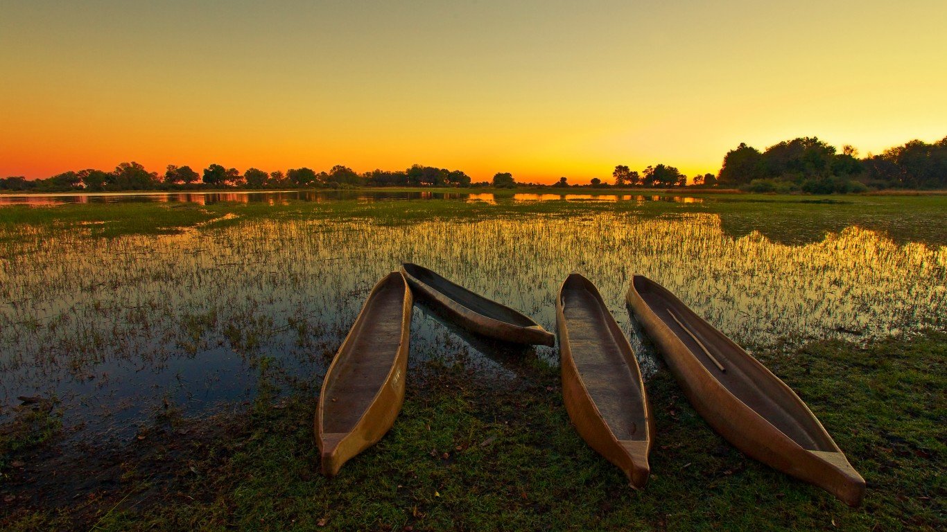
8. Guyana
> Population density: 10.2 people per square mile
> Population: 777,859
> Land area: 76,004 square miles
> Population growth (1990-2017): 4.6%
Guyana, the western neighbor of Suriname, was a British colony until 1966. Since then, there has been a power struggle between those of African descent and Indians descended from indentured servants. The country has had to deal with corruption and heavy-handed government. The Guyanese capital, Georgetown, is the largest city and has more than 50,000 inhabitants.
The population of the country, the third smallest in South America in land area, has been slowly increasing. About 90% of its residents live on the Atlantic coast, which comprises just 10% of the total land area.
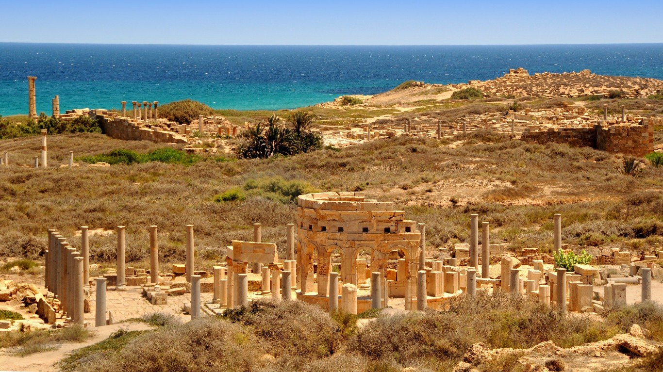
7. Libya
> Population density: 9.4 people per square mile
> Population: 6,374,616
> Land area: 679,362 square miles
> Population growth (1990-2017): 43.7%
Few nations on Earth get as little rainfall as Libya or are hotter. The northern African nation receives just 2.1 inches of rainfall a year — only Egypt gets less — and the Sahara Desert presents a desolate landscape. The town of Aziziyah, 25 miles south of Tripoli, once held the distinction for having the hottest temperature ever recorded — 136.4 degrees in 1922.
As if climate extremes were not enough, another factor holding down population density is the number of landmines placed in Libya by the combatants during World War II and in Libya’s conflict with Chad. The Libya Herald reports that each day as many as five people are killed or injured from landmines and booby traps.
[in-text-ad-2]
6. Suriname
> Population density: 9.4 people per square mile
> Population: 563,402
> Land area: 60,232 square miles
> Population growth (1990-2017): 38.3%
Suriname gained independence from the Netherlands in 1975, and since then, this nation on the northern coast of South America has been governed by a succession of military rulers. The birth rate in South America’s smallest country plunged by about half from 1970 to 2007. Many people, mostly skilled workers, emigrated to the Netherlands after Suriname became independent. Though the CIA World Factbook characterizes the fertility rate in Suriname as low, the population is rebounding, with an influx of Chinese and Brazilian workers.
Four-fifths of the country is taken up by a rainforest, one of the largest such expanses in the world, and a UNESCO Heritage site. Only 0.4% of the land in Suriname is arable, according to theGlobalEconomy.com and the World Bank.
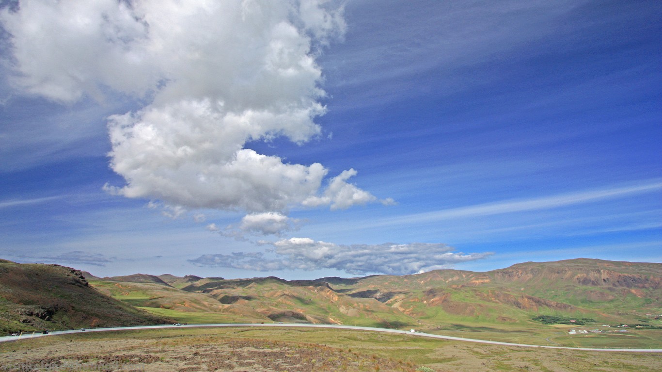
5. Iceland
> Population density: 8.8 people per square mile
> Population: 341,284
> Land area: 38,707 square miles
> Population growth (1990-2017): 33.9%
Although Iceland is among the most sparsely populated nations on the planet, it is also among the richest per capita and has a fertility rate above the replacement level of 2.1 children born per woman. About one-third of all Icelanders live in the capital, Reykjavik.
Iceland is also a place where people live long lives, because of genetic factors and possibly because Icelanders are active and consume a lot of fish. Men in Iceland live to be 81.2 years, the highest of any country, according to a report in 2014 from the World Health Organization.
[in-text-ad]
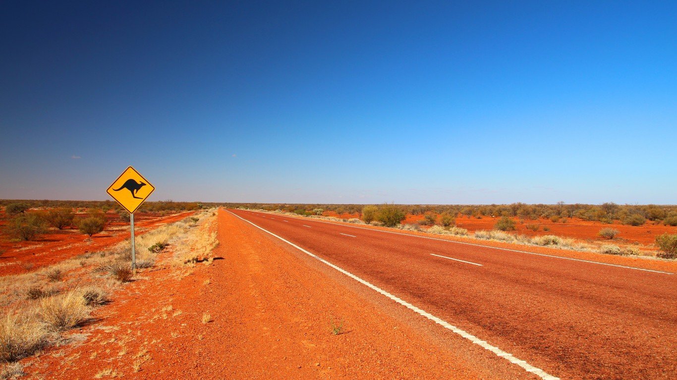
4. Australia
> Population density: 8.3 people per square mile
> Population: 24,598,933
> Land area: 2,966,151 square miles
> Population growth (1990-2017): 44.1%
Australia, founded as an English penal colony in the 18th century, has become a bucket-list goal for many travelers. Most of its 24 million-plus population occupies coastal cities such as Sydney, Melbourne, and Perth.
The interior features the vast, foreboding desert called the Outback. It is here where many of the world’s deadliest creatures live, such as the the inland taipan, the world’s most lethal snake, and the Sydney funnel-web spider. In the water, there live the deadly, stinging stonefish, the great white shark, and the the saltwater crocodile, which naturalists consider an “apex predator.”
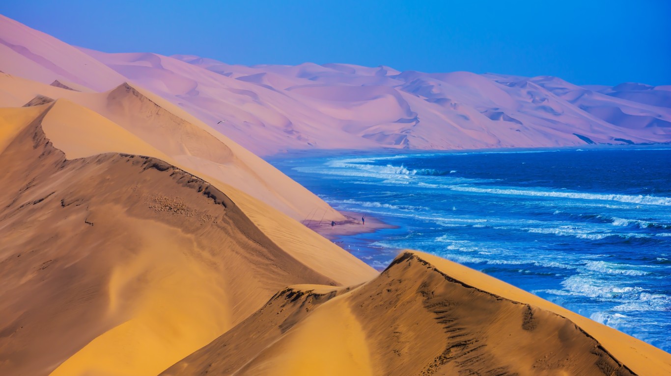
3. Namibia
> Population density: 8.0 people per square mile
> Population: 2,533,794
> Land area: 317,874 square miles
> Population growth (1990-2017): 79.1%
Namibia, in southwestern Africa, has deserts, canyons, and savannas, and most of the country is barely habitable. Its Atlantic Ocean coastline is pocked with shoals and reefs, and the Namib Desert is rocky and unable to sustain agriculture. Rainfall is variable in Namibia, which was once a German colony, and droughts extending over a few years are not uncommon. Overuse of land has created soil erosion and lowered the water table.
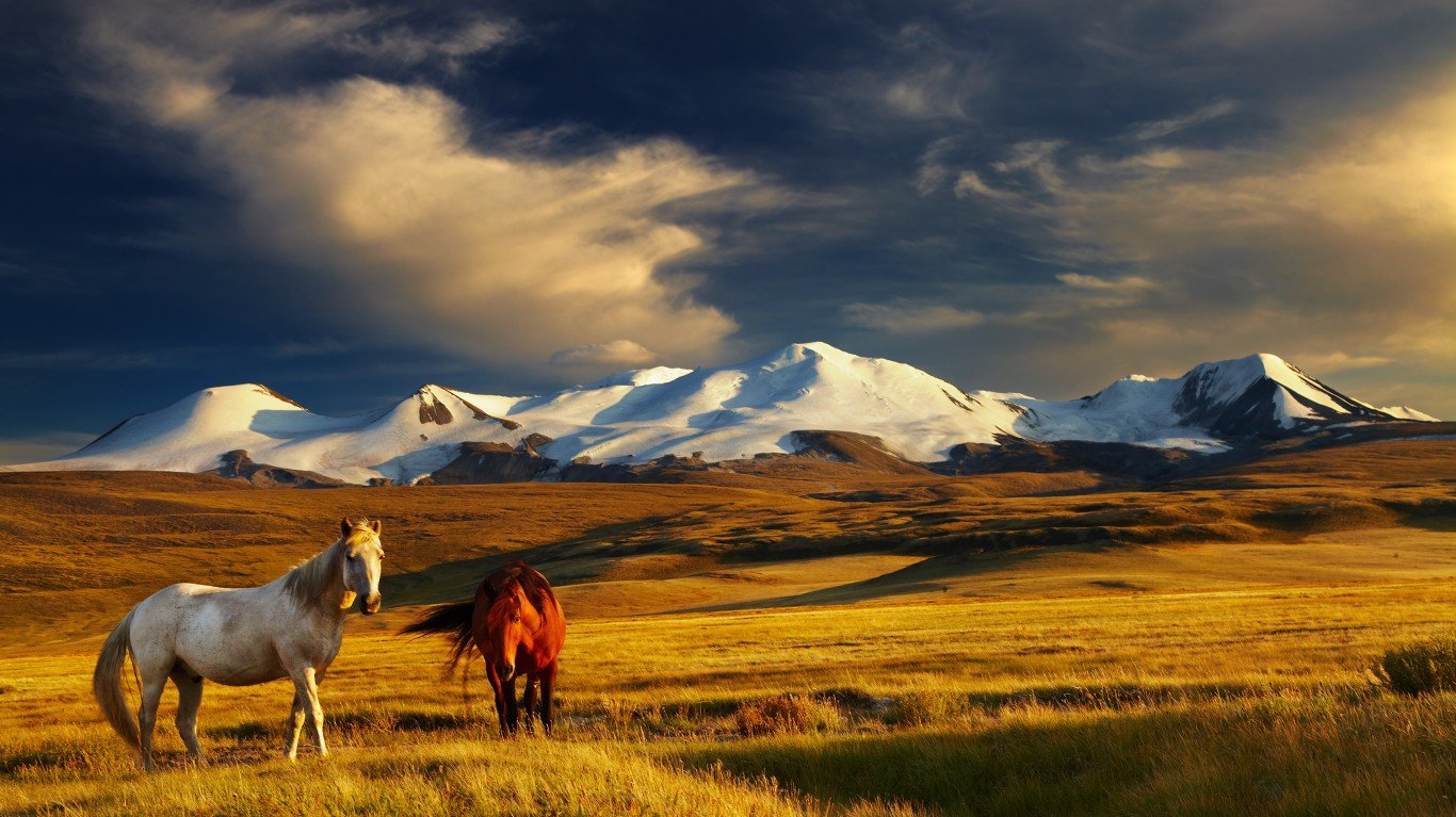
2. Mongolia
> Population density: 5.1 people per square mile
> Population: 3,075,647
> Land area: 599,833 square miles
> Population growth (1990-2017): 40.8%
Mongolia, ancestral home of the Mongols and Huns, is a landlocked country between Russia and China. Geography and climate contribute to temperature extremes in the country and keep the nation’s population density low. Mongolia has four major mountain ranges and its highest mountain is Khuiten Peak at 14,350 feet.
The Gobi Desert occupies the southern third of the country. Not surprisingly, only 0.4% of Mongolia land is arable, one of the smallest percentages in the world, according to theGlobalEconomy.com and the World Bank.
[in-text-ad-2]
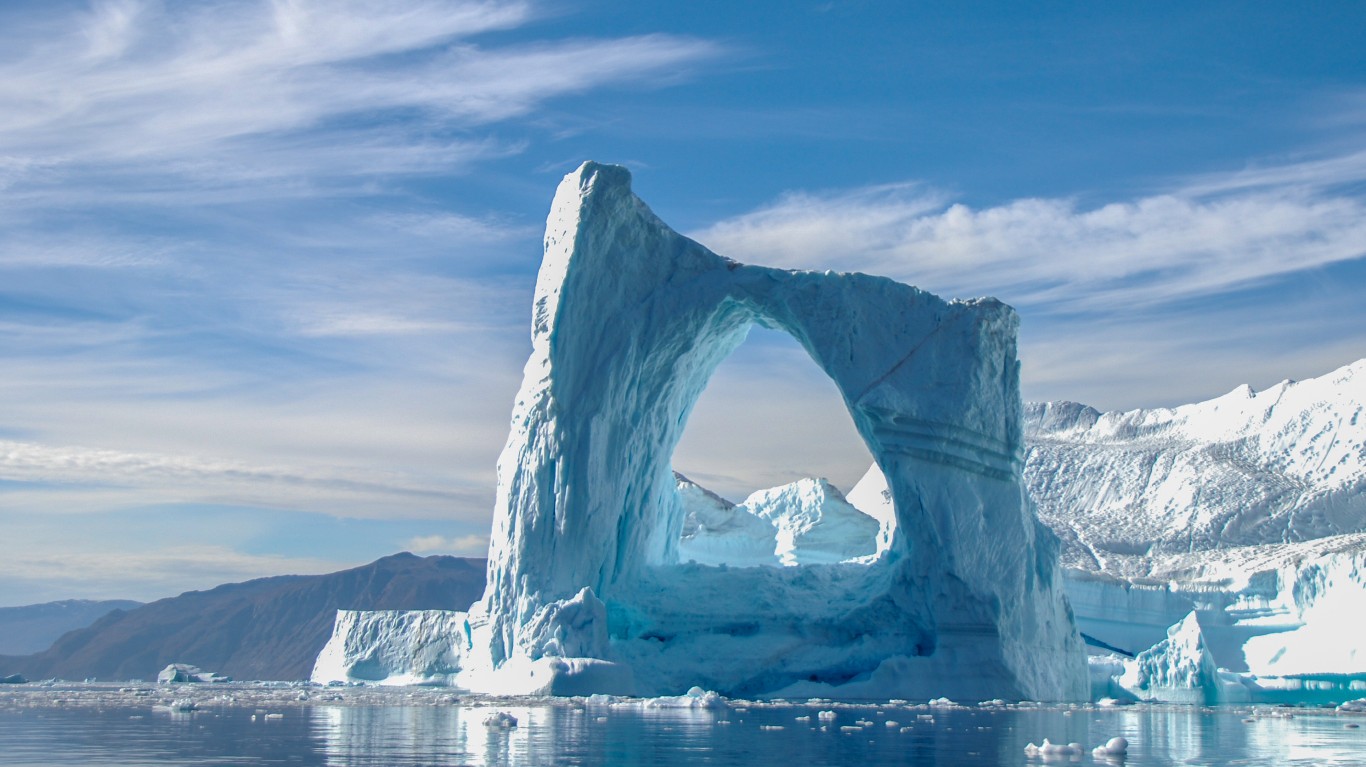
1. Greenland
> Population density: 0.4 people per square mile
> Population: 56,171
> Land area: 158,476 square miles
> Population growth (1990-2017): 1.0%
Greenland is the world’s largest island, three times the size of Texas, and is known for its physical beauty that includes glaciers and fjords. Two-thirds of the country is located within the Arctic Circle, and its northernmost point is fewer than 500 miles from the North Pole. It’s cold in Greenland and it’s remote; the closest nation to it is Iceland, which is about 200 miles to the southeast. And it has no arable land.
Greenland has posted population growth of 1% since 1990, the second-lowest among the 30 least-crowded countries on our list. Nine-tenths of Greenland’s population are of Inuit, or Eskimo, origin, and the remainder are of Danish ancestry. Greenland, which had been a possession of Denmark, has gradually won greater autonomy from Denmark in recent years.
Detailed Findings
Why do populations concentrate more in some places than others? Both natural and human factors are involved. Low-lying flatlands are more hospitable to habitation, for instance, than mountains. Climate plays a key role (the Mediterranean basin is more densely populated than the Sahara Desert or the Arctic), as does the availability of natural resources (minerals, wood, and water, for instance).
Proximity to a coastline is also a major factor: Almost half the world’s population lives within 125 miles of a shoreline, and that number is projected to double by 2025. Fourteen of the world’s 17 largest cities — 11 of them in Asia — are along seacoasts. According to the Population Reference Bureau, the benefits of coastal living include “improved transportation links, industrial and urban development, revenue from tourism, and food production.”
Even among the least densely inhabited nations, a large portion of the population lives along the coast, such as in Algeria and Guyana. Not all countries have a coastline. On our list are eight landlocked countries, a geographic impediment to economic and population growth.
Other factors that impact population density have little to do with climate or geography. For some countries on the list, population density has been constrained by extended economic downturns (Russia), political instability (Central African Republic), and prolonged armed conflicts (Sudan).
Twelve of the 30 least-crowded countries are in Africa, which is the second-fastest growing continent. The fastest-growing continent, Asia, had five countries on the list, along with South America.
Methodology
To determine the world’s most- and least-crowded countries, 24/7 Wall St. reviewed the population density of 215 countries with data from the World Bank. Data on population and land area also came from the institution. Population density and land area was converted from square kilometers to square miles. The measurement for land area includes a country’s total geographic area, minus the area of inland water bodies, such as major rivers and lakes. Population change was calculated using World Bank population estimates for 1990 and 2017. All data are for the most recent year available.
Take This Retirement Quiz To Get Matched With A Financial Advisor (Sponsored)
Take the quiz below to get matched with a financial advisor today.
Each advisor has been vetted by SmartAsset and is held to a fiduciary standard to act in your best interests.
Here’s how it works:
1. Answer SmartAsset advisor match quiz
2. Review your pre-screened matches at your leisure. Check out the
advisors’ profiles.
3. Speak with advisors at no cost to you. Have an introductory call on the phone or introduction in person and choose whom to work with in the future
Take the retirement quiz right here.