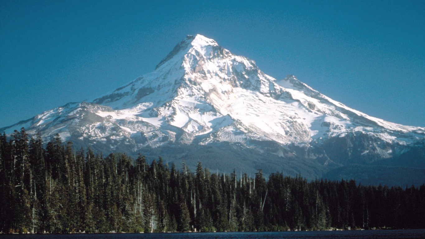
Comprising 26 climate zones and 25 physically unique regions, the United States is one of the most geographically diverse nations in the world. Measured by the distance from base to summit, the U.S. is home to both the tallest land-based mountain — Denali in Alaska — and the eighth lowest place — Death Valley in California — on Earth.
The topographical diversity of the United States can have an effect on the health, economy, and culture of all Americans. According to the trade organization Outdoor Industry Association, the outdoor recreation economy generates $887 billion in consumer spending annually and directly supports 7.6 million jobs. States with higher elevations often generate more revenue from outdoor tourism, when adjusted for population, and have greater access to opportunities for physical activity.
To determine the highest point in every state, 24/7 Wall St. used data from the U.S. Census Bureau’s 2012 Statistical Abstract of the United States. The highest peaks range in elevation from just 345 feet in Florida to 20,320 feet in Alaska.
Click here to see the highest point in every state.
Click here to see our detailed findings and methodologies.
Source: Public Domain / Wikimedia Commons
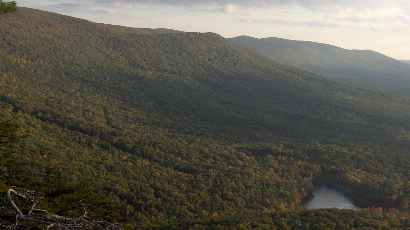
1. Alabama
> Highest peak: Cheaha Mountain
> Elevation above sea level: 2,407 ft.
> Coordinates: 33.5° N, 85.8° W
The name “Cheaha” comes from the Muskogee word “chaha,” which translates to “high place.”
See all stories featuring: Alabama
Thank you for reading! Have some feedback for us?
Contact the 24/7 Wall St. editorial team.
Editors' Picks