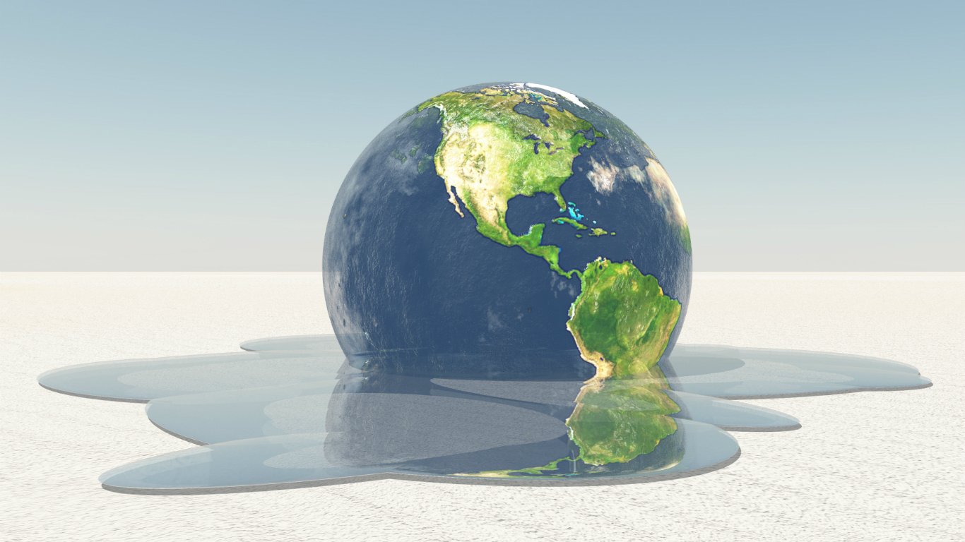
Climate change is one of the most serious public health issues facing America today. The annual average temperature in the United States has increased by 1.8 degrees Fahrenheit over the past 115 years and is expected to rise an additional 2.5 degrees, according to the U.S. Global Change Research Program. This has led to increased drought, more frequent wildfires, and other effects of climate and other effects of climate change that can’t be stopped.
According to the Fourth National Climate Assessment of the U.S. Global Change Research Program, it is extremely likely that greenhouse gas emissions from human activities are the dominant cause of the increase in the rate of global warming since the mid-20th century.
In recent decades, a new branch of climate research has emerged that attempts to define the link between human activities and extreme weather events such as floods, heatwaves, droughts, and snowstorms. According to climate journalism site Carbon Brief, scientists concluded in 68% of the more than 230 extreme weather events they studied that human-caused climate change increased the likelihood or severity of the event.
Areas with already extreme climates tend to be more susceptible to climate change, and even more extreme weather events. The Southwestern United States, for example — the driest and hottest part of the country — is getting hotter and drier, leading to increased drought and wildfire.
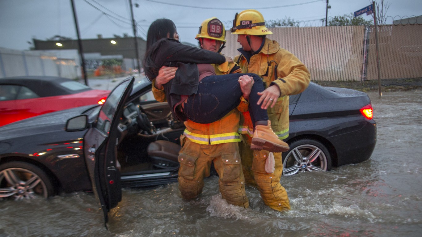
In other parts of the country, global warming has led to rising sea levels and increased evaporation, ultimately leading to increased precipitation. Earlier this year, heavy rainfalls along the Illinois, Missouri, Arkansas, and Mississippi River corridors have led to substantial flooding throughout the Midwest, leading to substantial property damage and dozens of deaths. Many of the places are also home to these popular summer getaways we’re losing to climate change.
Click here to see places where the weather is getting worse because of climate change.
Click here to see our methodology.
Source: mscornelius / Getty Images
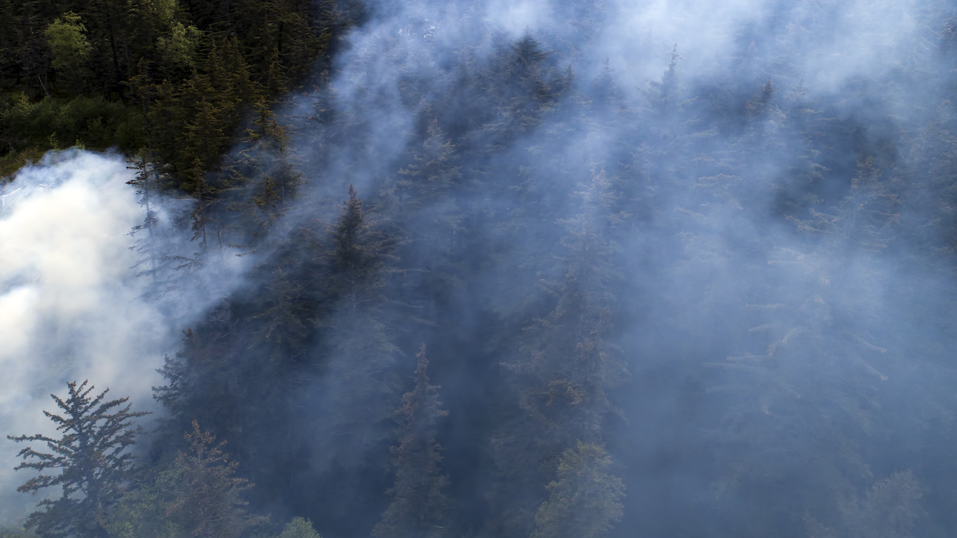
1. Alaska
The significant increase in wildfire activity in Alaska in recent decades is associated with man-made and natural factors. In 2015, wildfires burned through 5.1 million acres across the state, the second worst fire season since record keeping began in 1940. According to a report published by the American Meteorological Society in December 2016, human-induced climate change may have increased the risk of such a severe fire season in Alaska by 34% to 60%.
[in-text-ad]
Source: mjunsworth / Getty Images
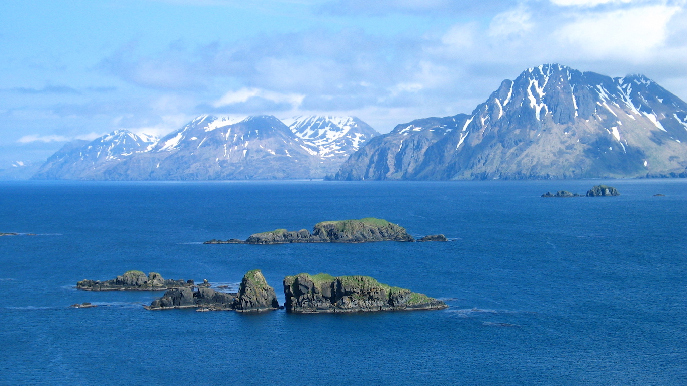
2. Arctic Ocean: Alaska
In 2016, the Bering Sea and Gulf of Alaska experienced its most intense marine heat wave — defined as at least five-day periods in which sea surface temperatures are extremely high for the region — since at least 1982, when satellite temperature records began. According to the American Meteorological Society, human-induced climate change increased the change of such an extreme weather event occurring by as much as 50 times.
Source: Ralph Freso / Getty Images
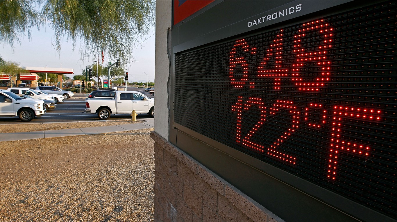
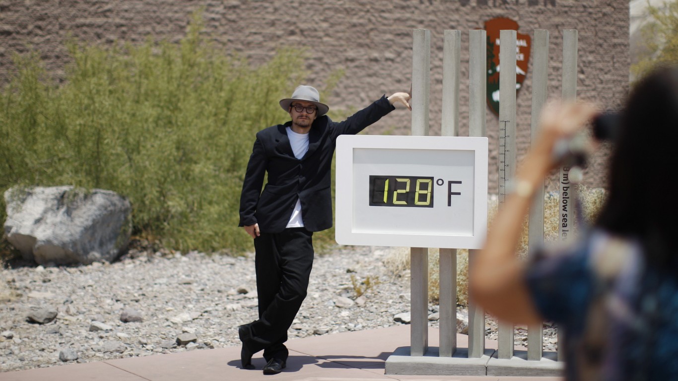
3. Arizona: Phoenix
According to the National Weather Service, temperatures in Phoenix averaged 77.3 degrees in 2017 — the hottest year on record. Phoenix is one of the fastest-warming cities in the country, and in 2018 there were a record 182 heat-related deaths confirmed in Phoenix and surrounding Maricopa County, the third consecutive year the death toll has reached a record high.
Source: Photo by Donald Miralle / Getty Images
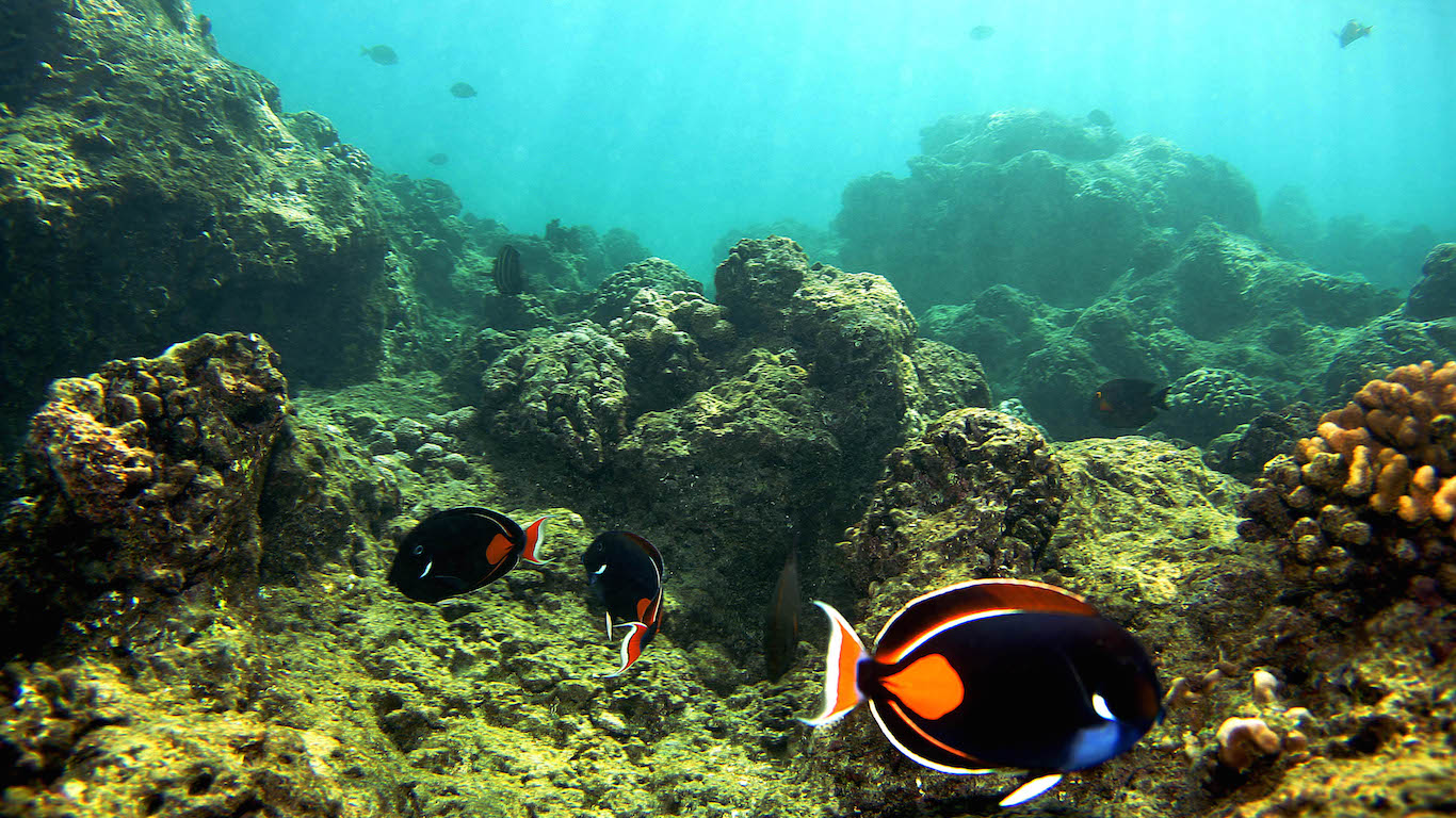
4. Central Pacific: Near Hawaii
During the 2015-16 El Niño, the central equatorial Pacific experienced record-setting sea surface temperatures. According to the American Meteorological Society, the temperature anomalies were unprecedented and unlikely to have occurred naturally and are therefore likely the result of human-induced climate change. The thermal stress caused damage to the coral reef and seabird communities in the area.
[in-text-ad-2]
Source: wwworks / Flickr
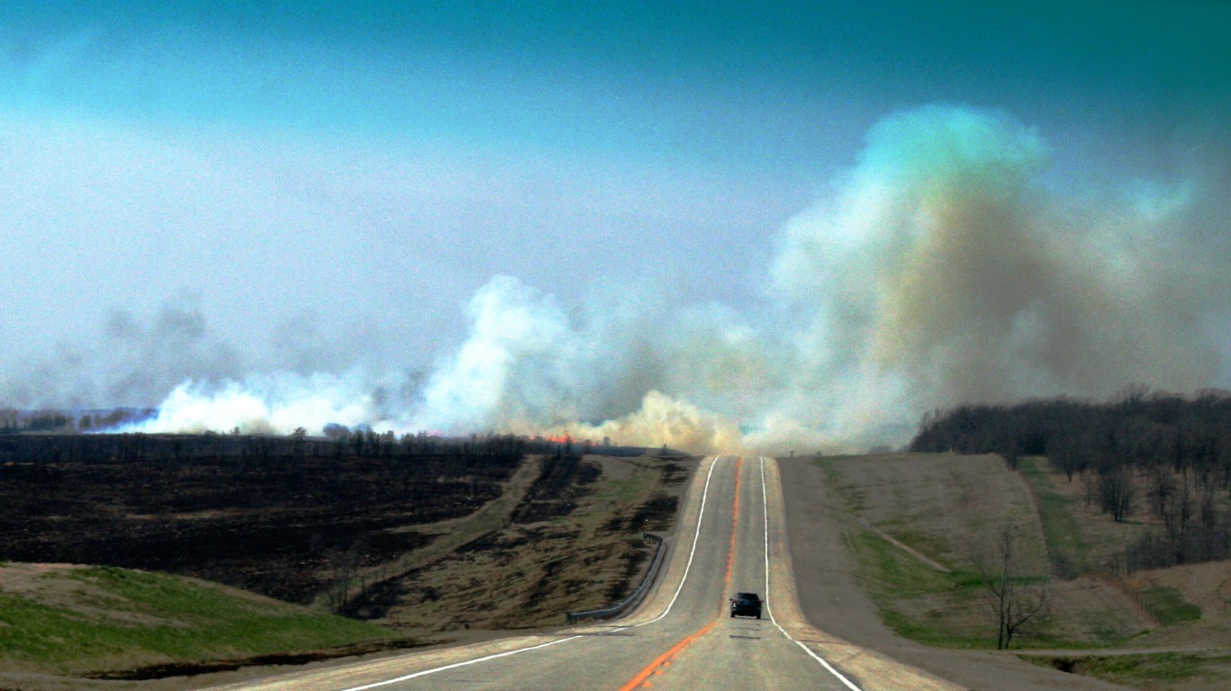
5. Central U.S.: Oklahoma
In April 2018, the Rhea Fire burned a total of 286,000 acres of land throughout Oklahoma, the third major fire in the state in three years. In total, wildfires burned through approximately 466,900 acres of land in Oklahoma in 2018, one of the worst fire years in the state’s history. The increase in wildfire activity in the Sooner State is due to worsening drought conditions, strong spring winds, and unusually wet summers followed by abnormally dry winters.
Scientists warn that the potential for large fires in the United States could increase six-fold by 2050 as greenhouse gas emissions persist and human-induced climate change continues to worsen.
Source: Mario Tama / Getty Images
6. East Coast of North America: New York, Philadelphia, Boston, Cincinnati, Pittsburgh
Cities in the eastern part of the United States — New York, Philadelphia, Boston, Cincinnati, and Pittsburgh — all recorded temperatures in the 70s on Feb. 20th or 21, each setting an all-time high for single-day temperature in the month of February.
[in-text-ad]
Source: Alex Wong / Getty Images
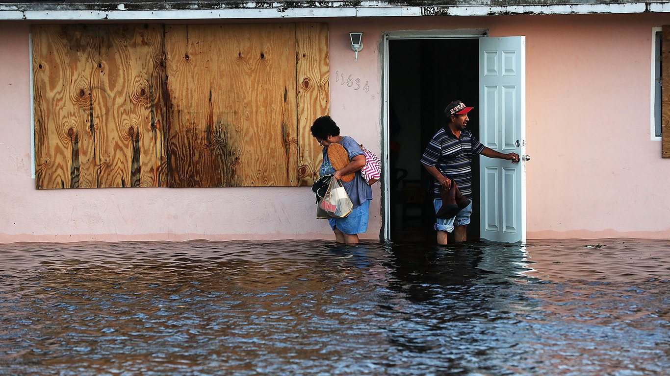
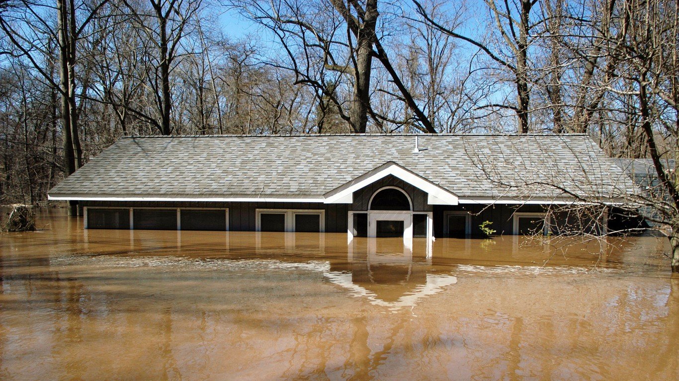
7. East Coast of North America: Maryland
On May 27, 2018, torrential rains west of Baltimore dumped between 6 and 12 inches of rain on the towns of Ellicott City and Catonsville, Maryland, causing catastrophic flood damage throughout the area for the second time in three years. Based on historical records, there is a 0.1% chance that such extreme weather events will occur and their frequency in recent years is likely due in part to man-made climate change.
 24/7 Wall St.
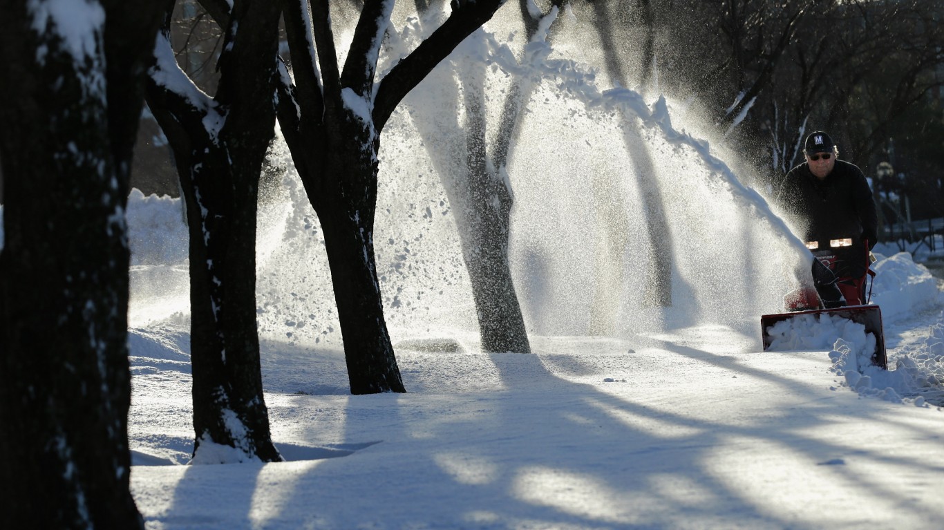
Source: Chip Somodevilla / Getty Images
8. Mid-Atlantic: Virginia to New York
A slow-moving colossal blizzard in January 2016 dumped up to 3 feet of snow from Virginia to New York, causing around $1 billion in damage and the deaths of 55 people. According to the Regional Snowfall Index, the blizzard was the fourth largest Northeast storm since 1900. Some scientists say the blizzard is an example of human-caused climate change because it was an extreme weather event.
Source: Darren McCollester / Getty Images
9. Northeastern United States
According to the National Climate Assessment, the amount of rain falling in the heaviest 1% of storms in the United States increased by 71% from 1958 to 2012 in the Northeast, the most of any region. The increases in heavy precipitation has led to runoff and caused major flooding events throughout the Northeast, as well as the Midwest and Great Plains. Such increases in rain activity are unlikely to occur naturally and may be due in part to human-induced climate change.
[in-text-ad-2]
Source: Ethan Miller / Getty Images
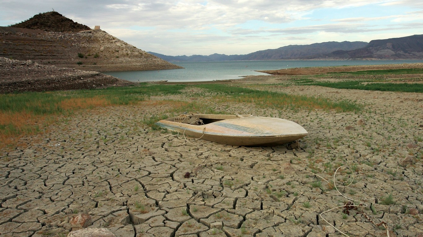
10. Southwestern United States: California, Arizona, Nevada
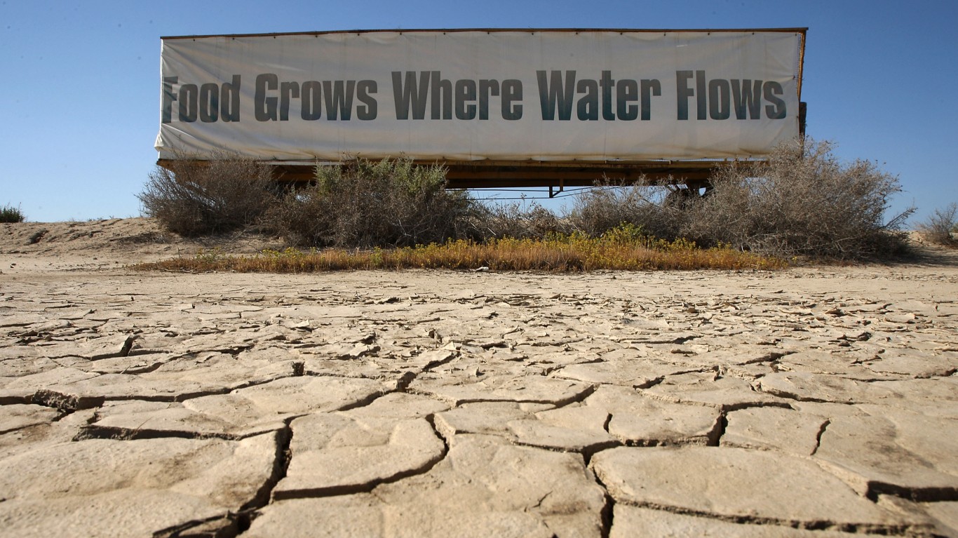
Severe to exceptional drought conditions proliferated in the American Southwest at the beginning of spring. Fish in the Rio Grande had to be relocated, and farmers along the Middle Rio Grande in New Mexico were told to expect half their irrigation allotment. The drought contributed to an abnormally intense fire season in northwestern Colorado and led to the first ever rationing of water usage along the Yampa River Valley in the basin’s history, as well as other serious impacts on people, agriculture, and wildlife in the area.
Source: David McNew / Getty Images
11. West Coast of the U.S.: California
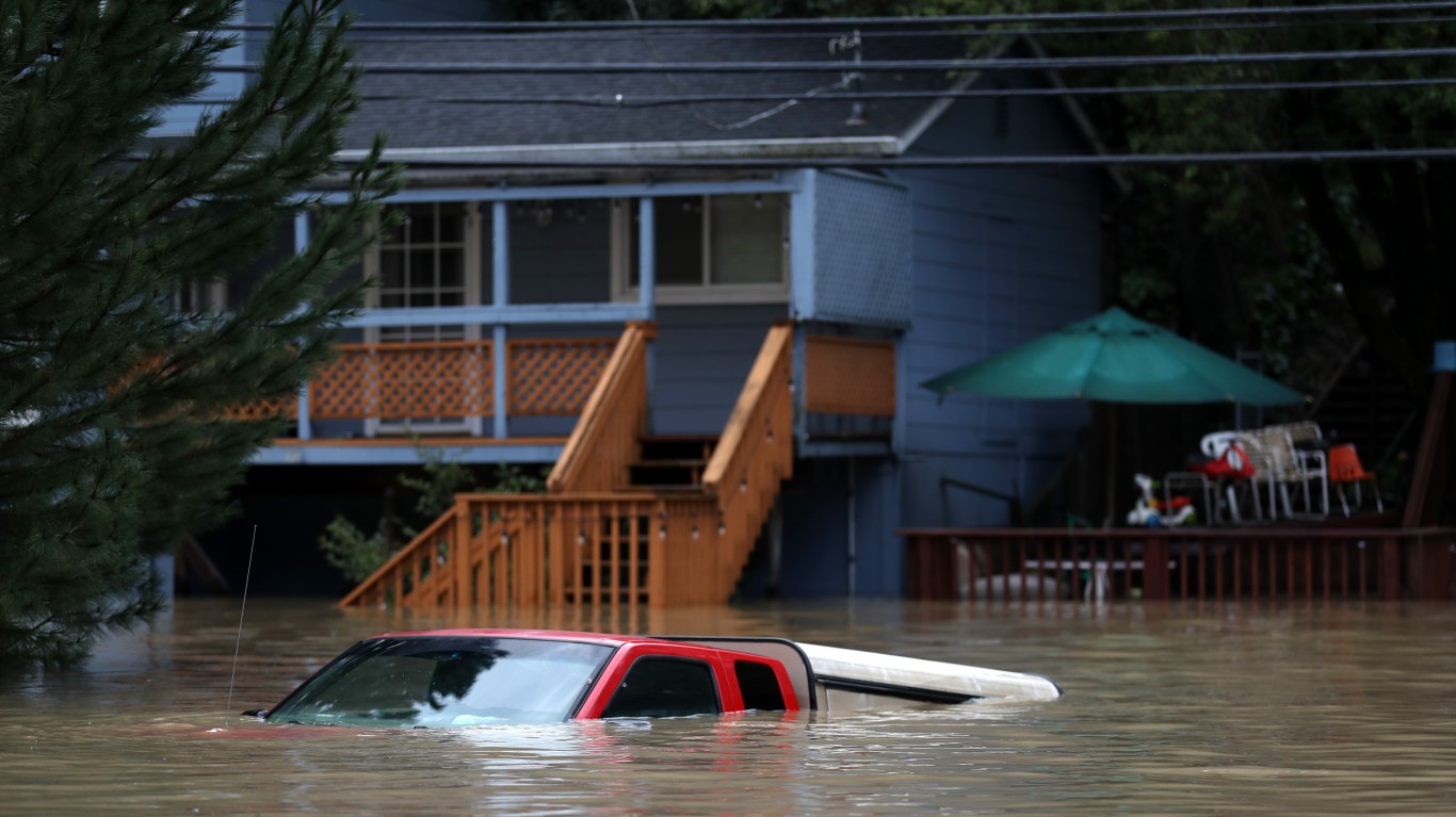
In February of 2019, record-setting levels of rain in California led to floods throughout the northern part of the state. Scientists predict that extreme precipitation events will continue to increase in intensity in California in the future, as well as greater variability between wet and dry years — meaning more droughts and more floods. One study published in the May 2018 edition of the peer-reviewed journal Nature Climate Change found that wet extremes in California will increase by 100% to 200% by 2100.
[in-text-ad]
Source: David McNew / Getty Images
12. Western U.S.: Colorado, Utah, California
Snowpack in the western states was dramatically lower in the winter of 2017-18. By mid-February, statewide snowfall had fallen to 49% of normal in Utah, and 85% below average in Colorado. According to the National Climate Assessment, the reduced snow levels are part of a larger trend of declining winter snowpack throughout the southwestern United States over the last 50 years, due largely to warmer temperatures that cause precipitation to fall as rain rather than snow and cause existing snowpack to melt earlier in the year.
Snow drought can lead to reduced water availability in the summer and have negative impacts on economies that rely on outdoor tourism and recreation. Snow drought can also have other impacts on people, agriculture, and wildlife.
Source: David McNew / Getty Images
13. Western U.S.: California
For the first time in over seven years, California was officially declared free of drought in March 2019. The drought led to major losses in the California agricultural sector, significant environmental damage, and water shortages in some rural areas. Many scientists have concluded that human-induced climate change has substantially increased the likelihood of extreme droughts in California, and contributed to the state’s most recent drought emergency.
Source: Justin Sullivan / Getty Images
14. Western United States
After historic amounts of rain fell in the winter of 2016-17 and snowpack level rose, much of the western United States experienced an early spring melt, leading to increased risk of flooding and dangerous fluctuations in river flow. The faster snowmelt is partially the result of warmer temperatures earlier in the year, causing spring conditions to arrive as much as 20 days earlier than normal in some parts of the country. Scientists say because of human-caused climate change, spring is beginning about 2.5 days earlier every decade on average.
[in-text-ad-2]
Source: David McNew / Getty Images
15. Western United States
According to the Third U.S. National Climate Assessment, heat waves in the United States have become more frequent since the 1960s, while the frequency of cold waves has declined. The annual average temperature over the contiguous United States has risen 1.8 degrees from 1901 to 2016 and is projected to increase an additional 2.5 degrees from 2021 to 2050.
Source: William Thomas Cain / Getty Images
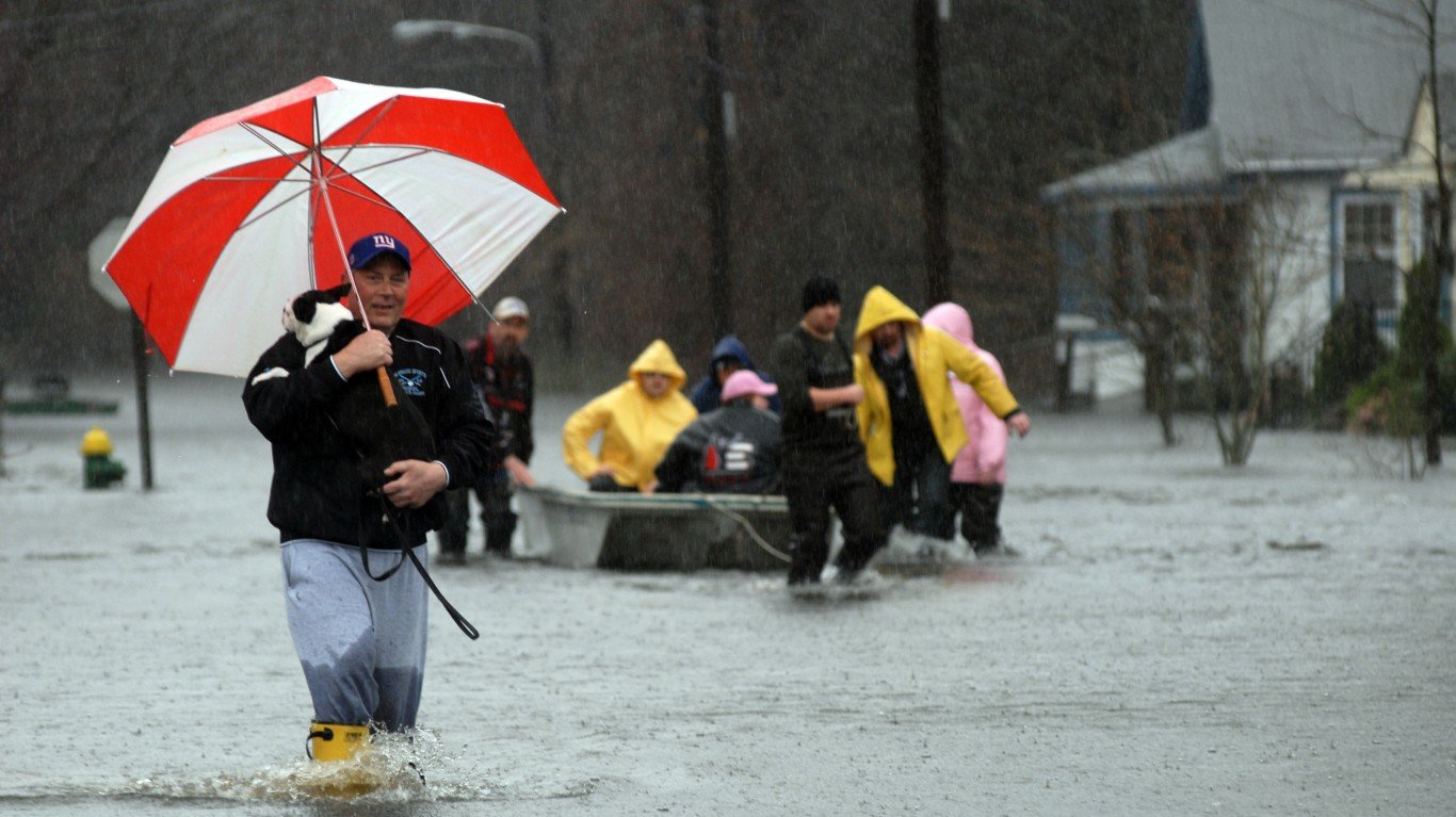
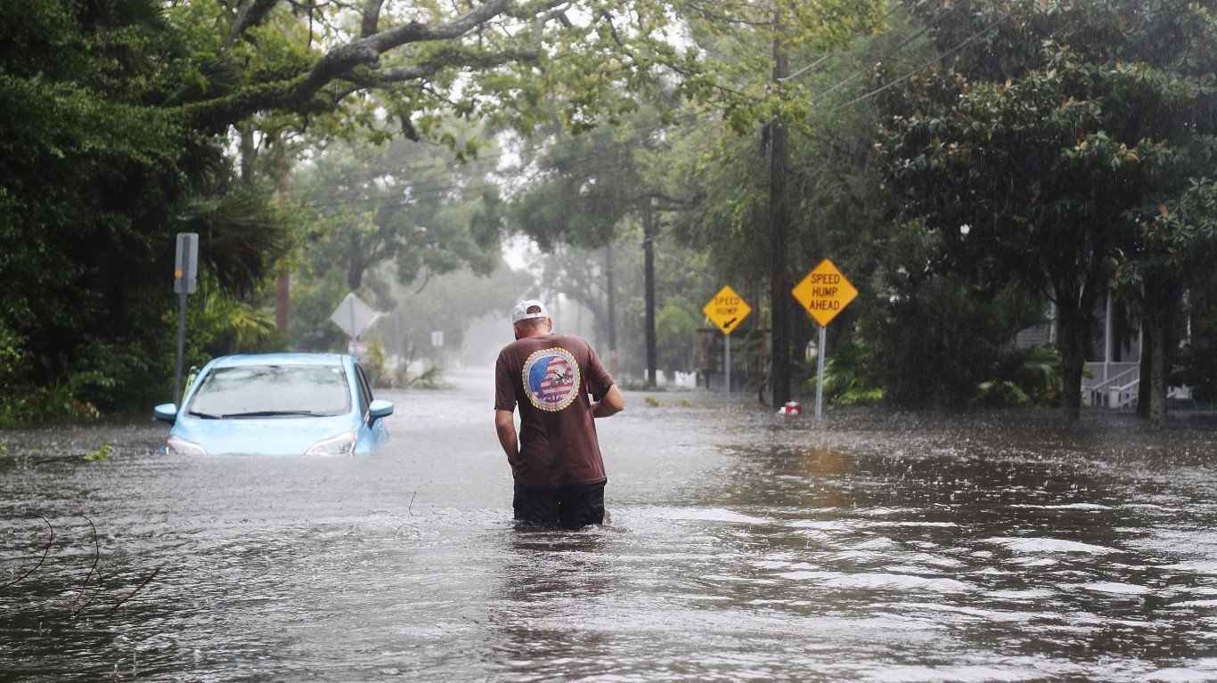
16. Northeastern United States: Pennsylvania, New York, New Jersey
In August 2018, historic levels of rainfall led to disaster declarations in several counties in New Jersey, and substantial flooding throughout parts of New York and New Jersey. According to the Environmental Protection Agency, flood events have increased in frequency and intensity throughout much of the Northeast since 1965.
[in-text-ad]
Source: David Ryder / Getty Images
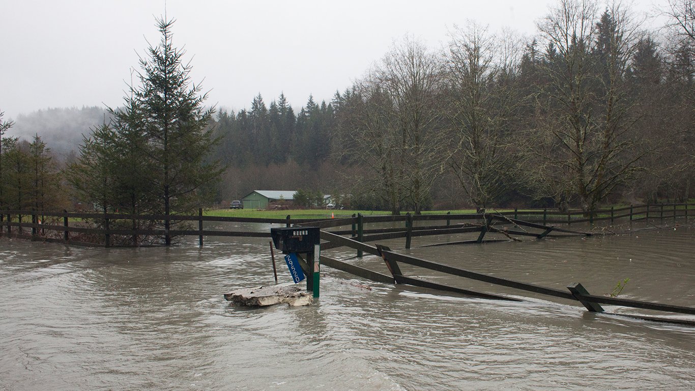
17. Pacific Northwest: Coast of Washington State
According to the EPA, flood events have increased in frequency throughout much of the Pacific Northwest since 1965. The surge in flood activity forced the Hoh, a Native American tribe once based at the mouth of the Hoh River, to move its reservation to higher ground.
 24/7 Wall St.
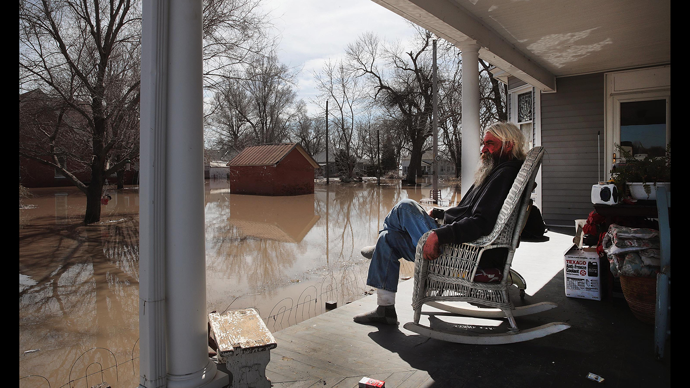
Source: Scott Olson / Getty Images
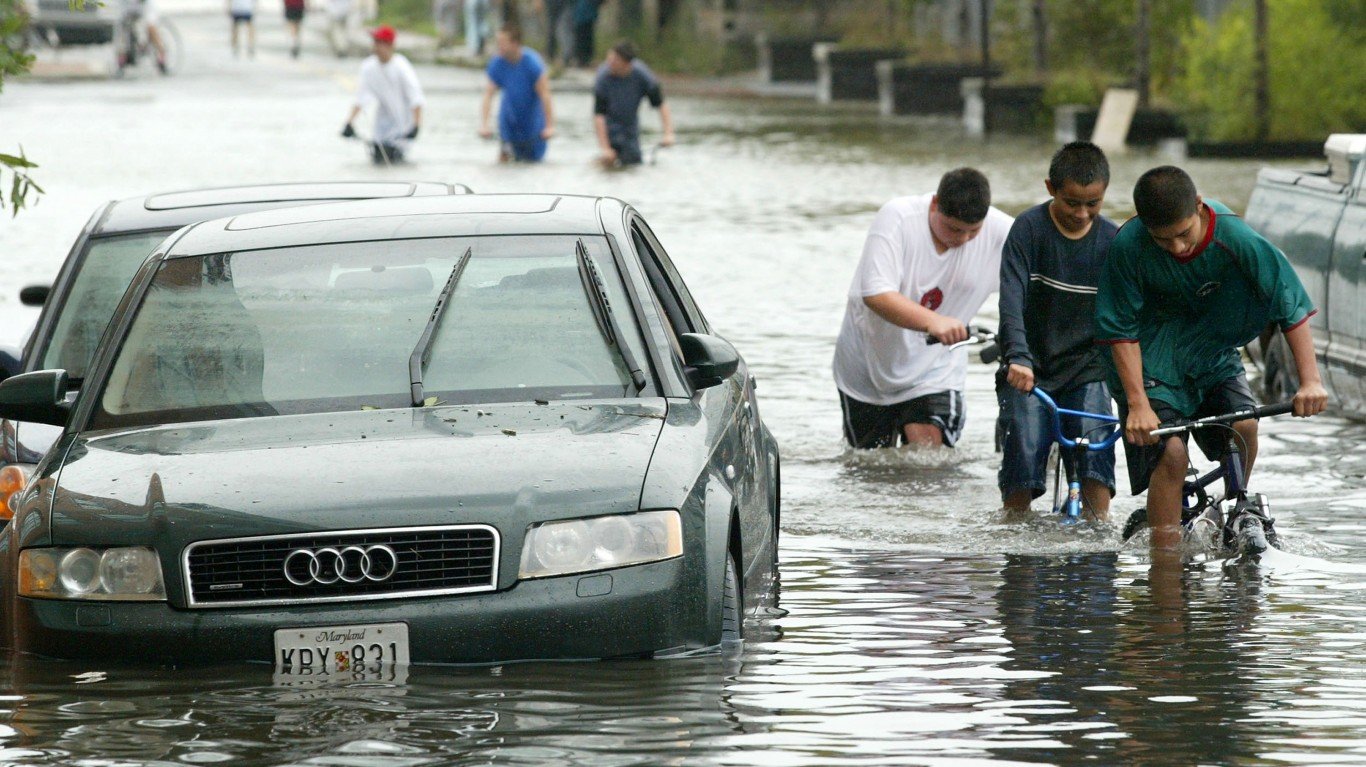
18. Midwest: Illinois, Iowa, Missouri, Nebraska
According to the EPA, flood events have increased in frequency and intensity throughout much of the Midwest and Great Plains region since 1965. In the spring of 2019, heavy rainfalls along the Illinois, Missouri, Arkansas, and Mississippi River corridors have led to substantial flooding throughout the Midwest, leading to substantial property damage and dozens of deaths.
Source: Joe Raedle / Getty Images
19. South Florida
According to the NOAA, the maximum daily water levels in South Florida during king tides, the highest tides of the year, have increased since 1994. Many scientists have concluded that rising king tides are a direct result of human-caused climate change, and can increase the risk of tidal flooding in coastal areas. One study published in the June 2016 edition of the peer-reviewed journal Ocean & Coastal Management found that frequency of tide-induced flooding events in Miami Beach has increased by more than 400% since 2006.
[in-text-ad-2]
Source: gsfc / Flickr
20. Southwest: Four Corners Region
According to the National Climate Assessment, human-induced climate change has contributed to increased heat, drought, and insect outbreaks in the Southwest and four-corners region, which includes Colorado, Utah, Arizona, and New Mexico and is the hottest and driest part of the United States. The rise in extreme weather conditions has led to increased wildfires, declines in water supplies, reductions in agricultural output, and heat-related health issues in cities. These are likely to continue to increase in the future.
Methodology
To find where weather is getting worse because of climate change, 24/7 Wall St. reviewed regions in the United States where there is evidence of an association between climate change and exceptional recently recorded weather events in these regions. Places within each region have recently documented record-breaking climate or weather events.
We spoke with multiple climate scientists and reviewed various data and sources. To be considered, places needed to be referenced in the findings of the U.S. Global Change Research Program Climate Science Special Report. We also considered global ocean surface temperatures from NASA, historical land temperature records from NOAA, reports by the Union of Concerned Scientists, and climate research published in the science journal Nature.
Sponsored: Attention Savvy Investors: Speak to 3 Financial Experts – FREE
Ever wanted an extra set of eyes on an investment you’re considering? Now you can speak with up to 3 financial experts in your area for FREE. By simply
clicking here you can begin to match with financial professionals who can help guide you through the financial decisions you’re making. And the best part? The first conversation with them is free.
Click here to match with up to 3 financial pros who would be excited to help you make financial decisions.
Thank you for reading! Have some feedback for us?
Contact the 24/7 Wall St. editorial team.
Editors' Picks