The earliest known seismoscope, a device used to detect earthquakes, was invented in China in 132. The device consisted of eight metal dragons mounted around a cylinder, each with a bronze ball in its mouth. When a slight tremor struck, a ball would fall out of one of the dragons’ mouths into a waiting receptacle. The direction of the tremor could be judged based on which dragon had released its ball. The device is said to have detected an earthquake 400 miles away. (Read about the first seismoscope and other ancient inventions you thought were modern.)
Although this early device could determine whether an earthquake had happened in its vicinity, it couldn’t measure the strength of the quake. Modern seismographs, which record the motion of the ground during earthquakes, came into use in 1890. But because earthquakes are strongest at their epicenter and weaker further away, readings of the same earthquake differ depending on the location of the seismograph. Nowadays, multi-station seismographic networks are used to pinpoint the center and determine the magnitude of a quake.
24/7 Tempo has determined the 20 most powerful earthquakes ever recorded by reviewing data from The United States Geological Survey (USGS). Magnitudes are measured on the Moment Magnitude scale (Mw). The earthquakes considered occurred in the 20th century and after, as any occurring before this time were not able to be standardized to the current scale. For earthquakes that occurred before 1935, when the (now outdated) Richter Scale was developed, magnitude measurements are estimates based on historical seismogram readings.
Click here to see the most powerful earthquakes ever recorded
A few areas of high tectonic activity are responsible for many of the largest earthquakes of all time. About 80% of earthquakes occur in what is called the “Ring of Fire” – a zone around the Pacific Ocean where the Pacific tectonic plate is being subverted (or pushed under) the surrounding plates. Unfortunately, this means that some countries and areas, including Chile, Indonesia, Japan, the Kamchatka Peninsula of Russia, and the Aleutian Islands of Alaska have experienced numerous devastating earthquakes throughout their histories. (Here are ancient civilizations destroyed by natural disasters.)
Earthquakes can destroy whole towns and displace residents – sometimes permanently – as a result of landslides, flooding, and soil liquefaction. They cause millions and sometimes billions of dollars in damage. More often than not, however, the damage caused by an actual quake is minor compared to the death and destruction caused by the massive tsunamis that can form as a result of underwater quakes.

Source: ubclibrary_digicentre / Flickr
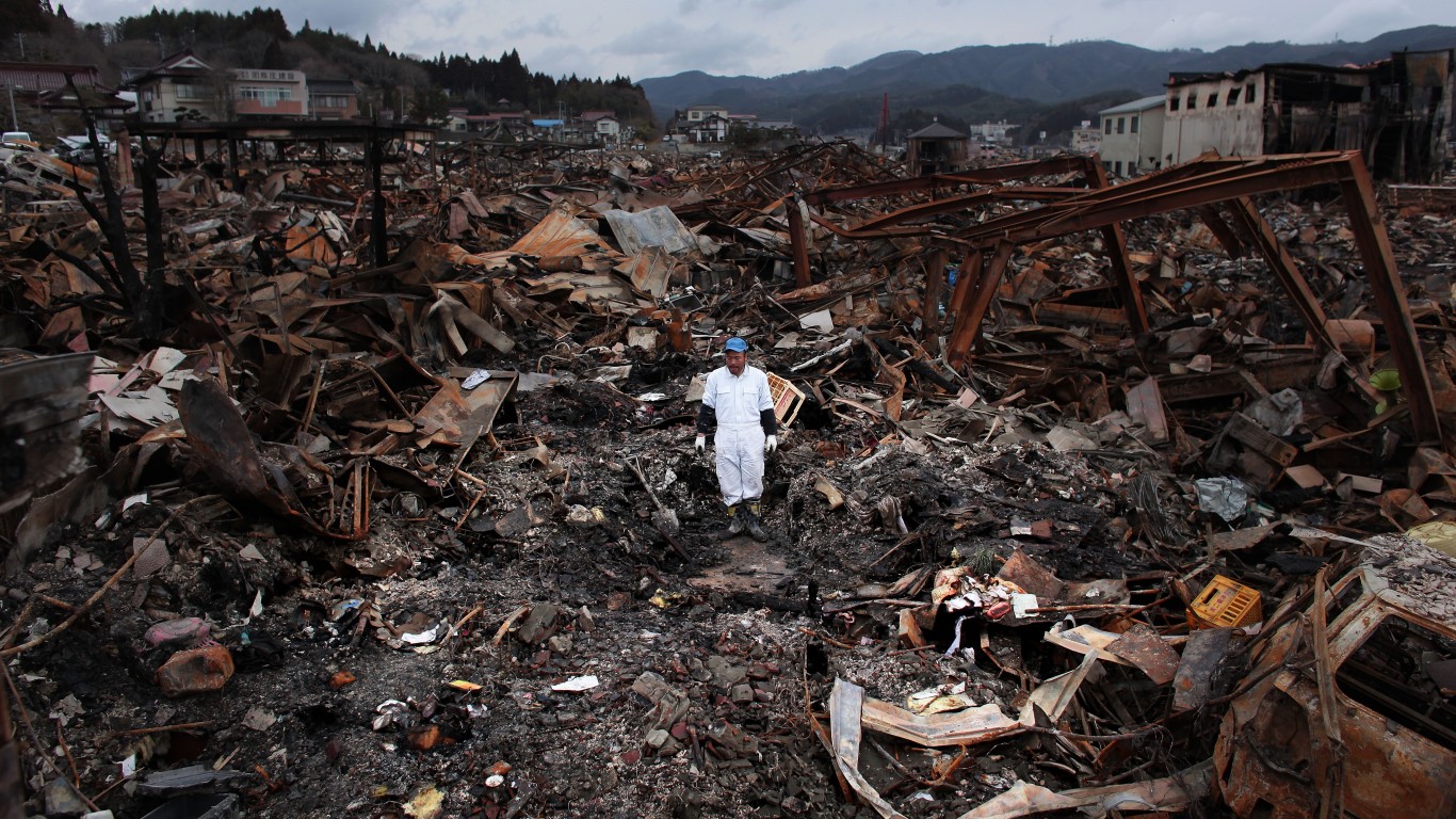
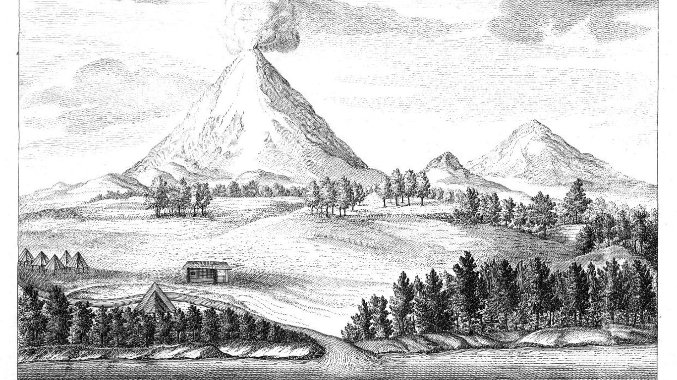
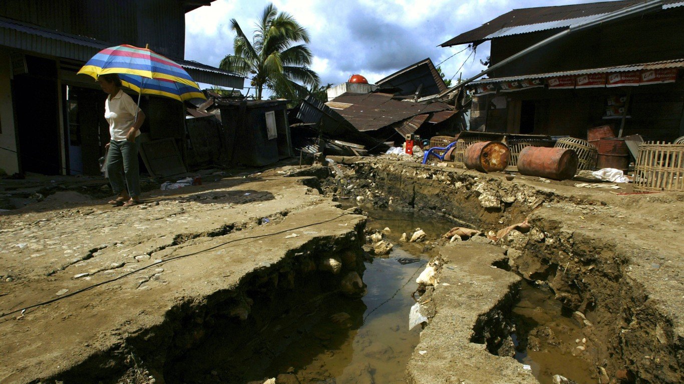
20. Sanriku earthquake
> Magnitude: 8.4
> Location: Off the east coast of Honshu, Japan
> Year: 1933
On March 2, 1933, a powerful earthquake off the northeast coast of Japan’s main island was hardly felt onshore, but the massive tsunami that followed reached heights of 70 feet, causing catastrophic destruction to boats and homes and killing 6,000 people. A nearly identical earthquake and tsunami that struck the region in 1896 killed over 26,000.
[in-text-ad]
Source: Getty Images / Getty Images News via Getty Images
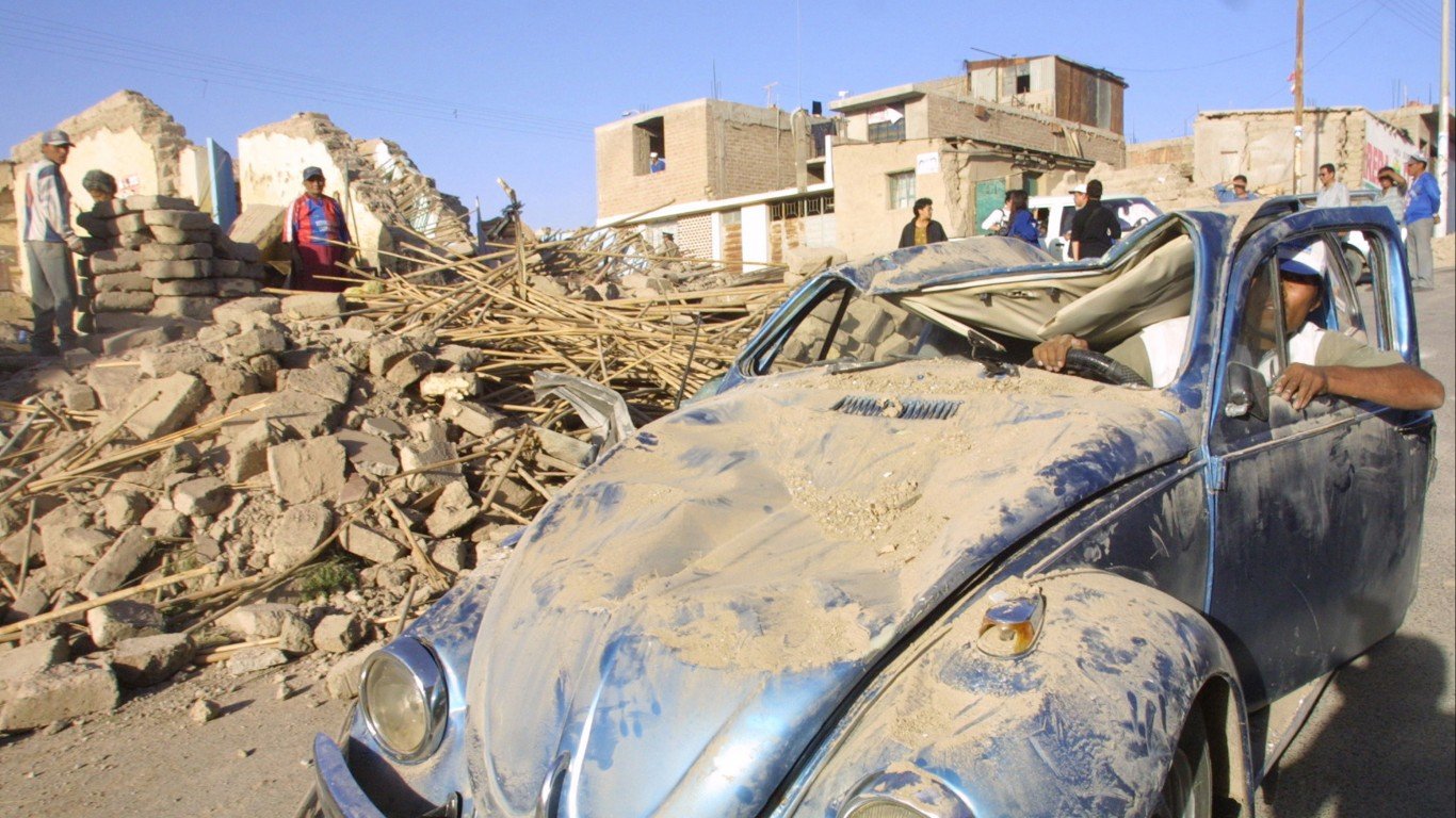
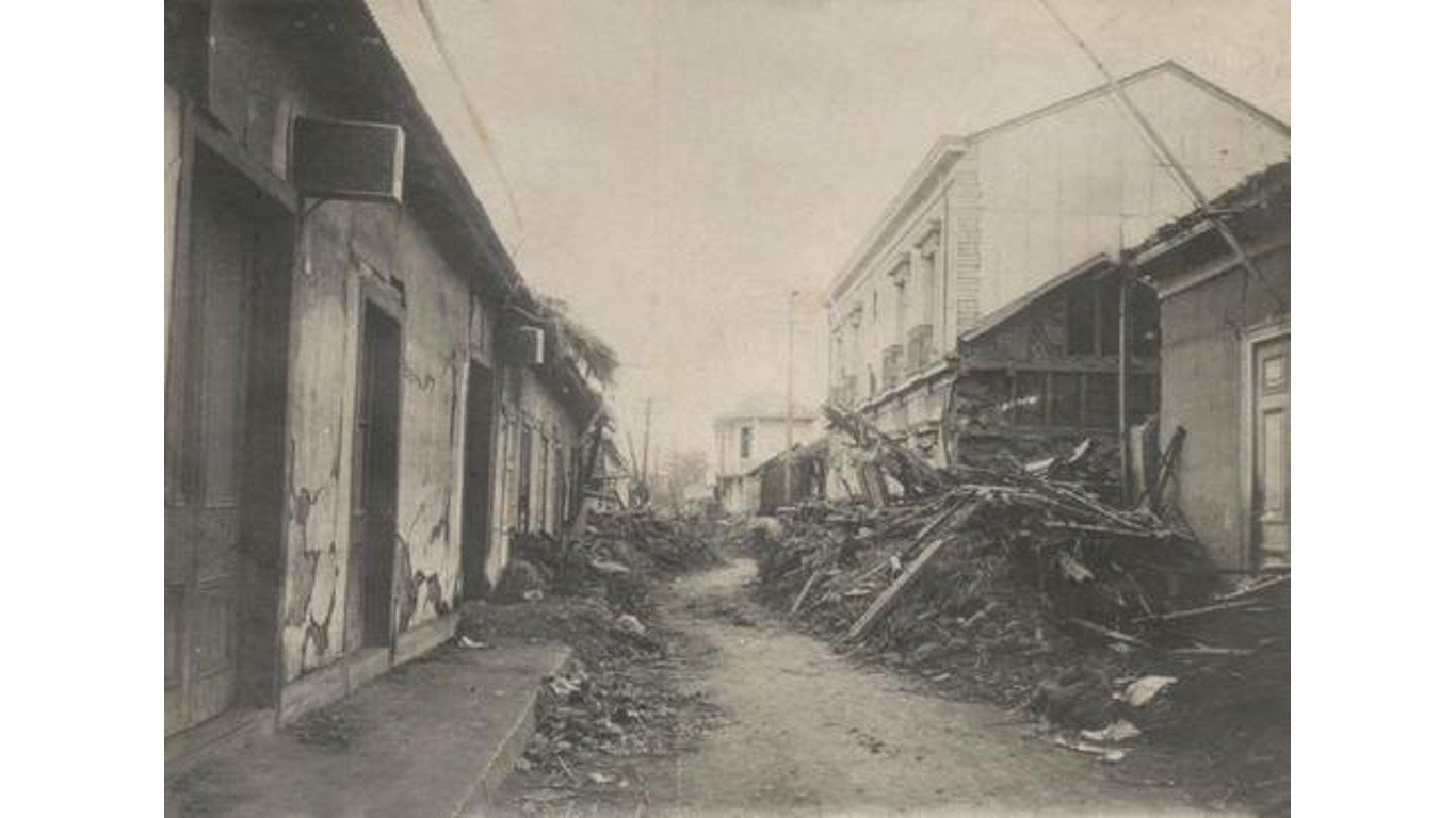
19. Arequipa earthquake
> Magnitude: 8.4
> Location: Off the coast of southern Peru
> Year: 2001
This quake on June 23, 2001, near the coastal desert city of Ilo caused numerous landslides and massive ground collapse as well as multiple tsunamis. Although there were only 81 confirmed casualties (and 64 people missing,) over 17,500 homes were destroyed and twice that many were damaged. Because of southwestern Peru’s location over the meeting of two tectonic plates, major earthquakes are common in the region.
 24/7 Wall St.
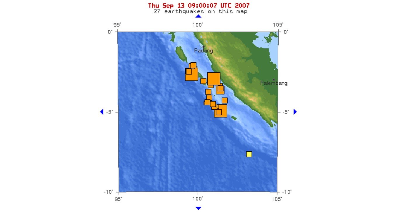
Source: Public Domain / Wikimedia Commons
18. Southern Sumatra earthquakes
> Magnitude: 8.4
> Location: Off the coast of southern Sumatra, Indonesia
> Year: 2007
On Sept. 12 and 13, 2007, multiple earthquakes occurred along the Sunda Trench in the Indian Ocean off the coast of Sumatra – the largest of them having magnitudes of 8.4 and 7.9. Aftershocks went on for days and some of the quakes were felt as far away as Thailand. The earthquakes led to blackouts in Bengkulu, violent shaking in highrises in Jakarta, and multiple tsunami warnings, but minimal damage was reported.
Source: Public Domain / Wikimedia Commons
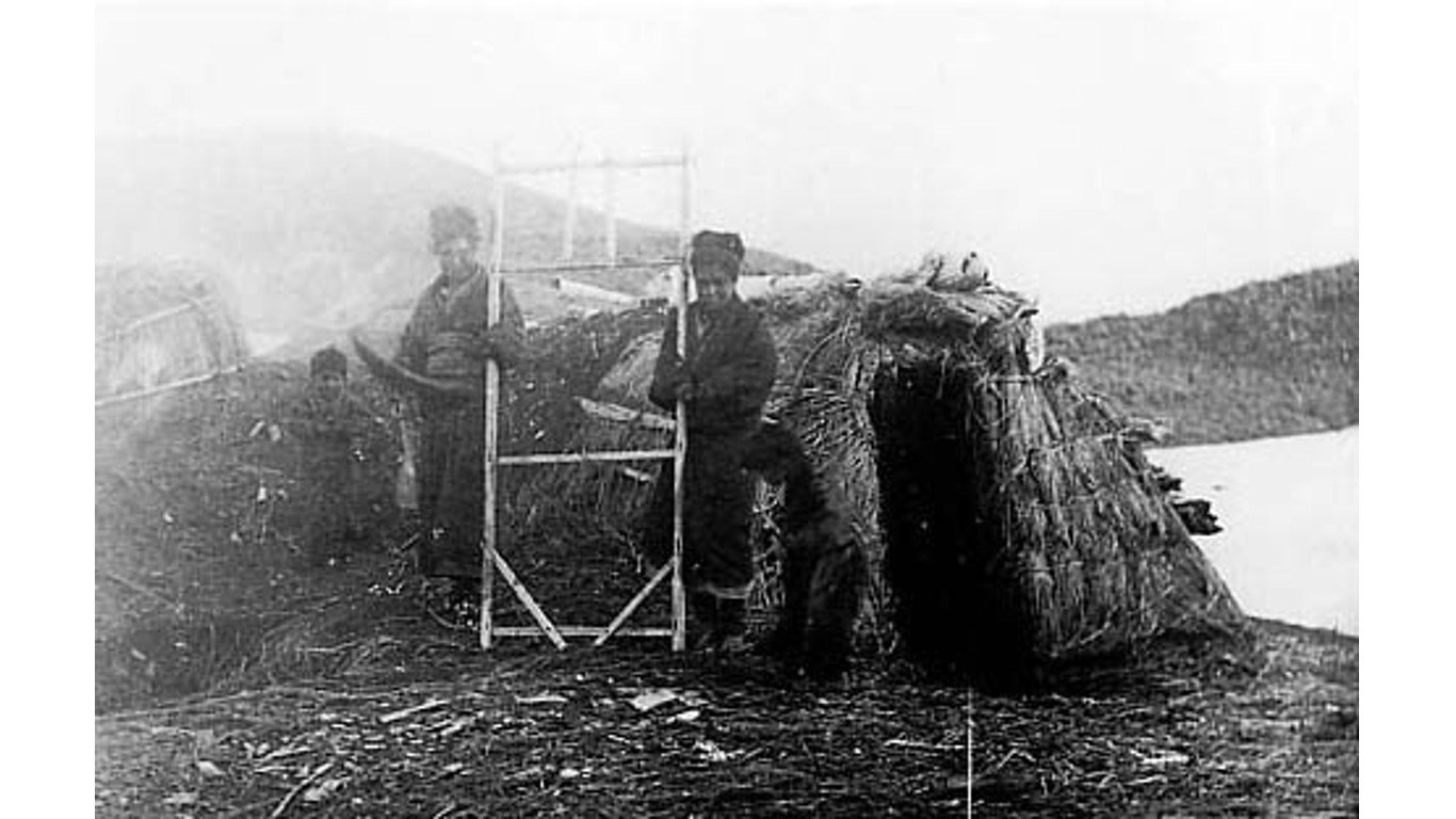
17. Kamchatka earthquake
> Magnitude: 8.4
> Location: Kamchatka Peninsula, Russia
> Year: 1923
A February 3, 1923 earthquake with an epicenter on the southeastern coast of Russia’s Kamchatka Peninsula triggered a 25-foot tsunami that crossed the Pacific, reaching Japan, Hawaii, and California. The tsunami killed two people in Russia and a single fisherman in Hawaii. Two months later, a similar earthquake on the peninsula – a tectonically active area known for its powerful earthquakes – triggered a larger tsunami that killed 36 people.
[in-text-ad-2]
Source: Public Domain / Wikimedia Commons
16. Kuril Islands earthquake
> Magnitude: 8.5
> Location: Kuril Islands
> Year: 1963
The Kuril Islands, a volcanic archipelago that stretches between the Japanese island of Hokkaido and Russia’s Kamchatka Peninsula, are in an area of intense seismic activity formed by the subduction of the Pacific tectonic plate under the Eurasian Plate. A quake here on October 13, 1963, triggered a tsunami that reached much of the west coast of North America, from Canada to Mexico. Luckily, no damage or deaths were reported.
Source: Public Domain / Wikimedia Commons
15. Vallenar earthquake
> Magnitude: 8.5
> Location: Atacama, Chile
> Year: 1922
The desertous Atacama region of Chile lies along a tectonic plate convergence that has been generating megathrust earthquakes for 500 million years. An earthquake near the Argentine border on November 11, 1922 and the subsequent tsunami caused an estimated $5 to $25 million in damage (unadjusted for inflation) and killed over 1,000 people. The quake was felt as far away as San Francisco, and the tsunami reached the Hawaiian Islands.
[in-text-ad]
 by Hans Peter Grumpe")
14. Banda Sea earthquake
> Magnitude: 8.5
> Location: Off the northwest coast of Tual, Indonesia
> Year: 1938
This earthquake in the Banda Sea on February 1, 1938, occurred at a depth of about 15 miles, and released energy equivalent to that of 5,300 atomic bombs. Despite being one of the largest earthquakes in recorded history, it caused only minor damage and no deaths – though it generated small tsunamis that led to destruction on Banda and Kai Islands.

Source: Public Domain / Wikimedia Commons
13. Aleutian Islands earthquake
> Magnitude: 8.6
> Location: Off the southern coast of Unimak Island, Alaska
> Year: 1946
This offshore earthquake on April 1, 1946 did little direct damage but triggered a Pacific-wide tsunami that destroyed the Scotch Cap Lighthouse on Unimak Island in the Aleutians, killing all five lighthouse keepers, and caused hundreds of millions in damage to the Hawaiian Islands. Casualties included 160 people in Hawaii and one in California.
Source: Public Domain / Wikimedia Commons
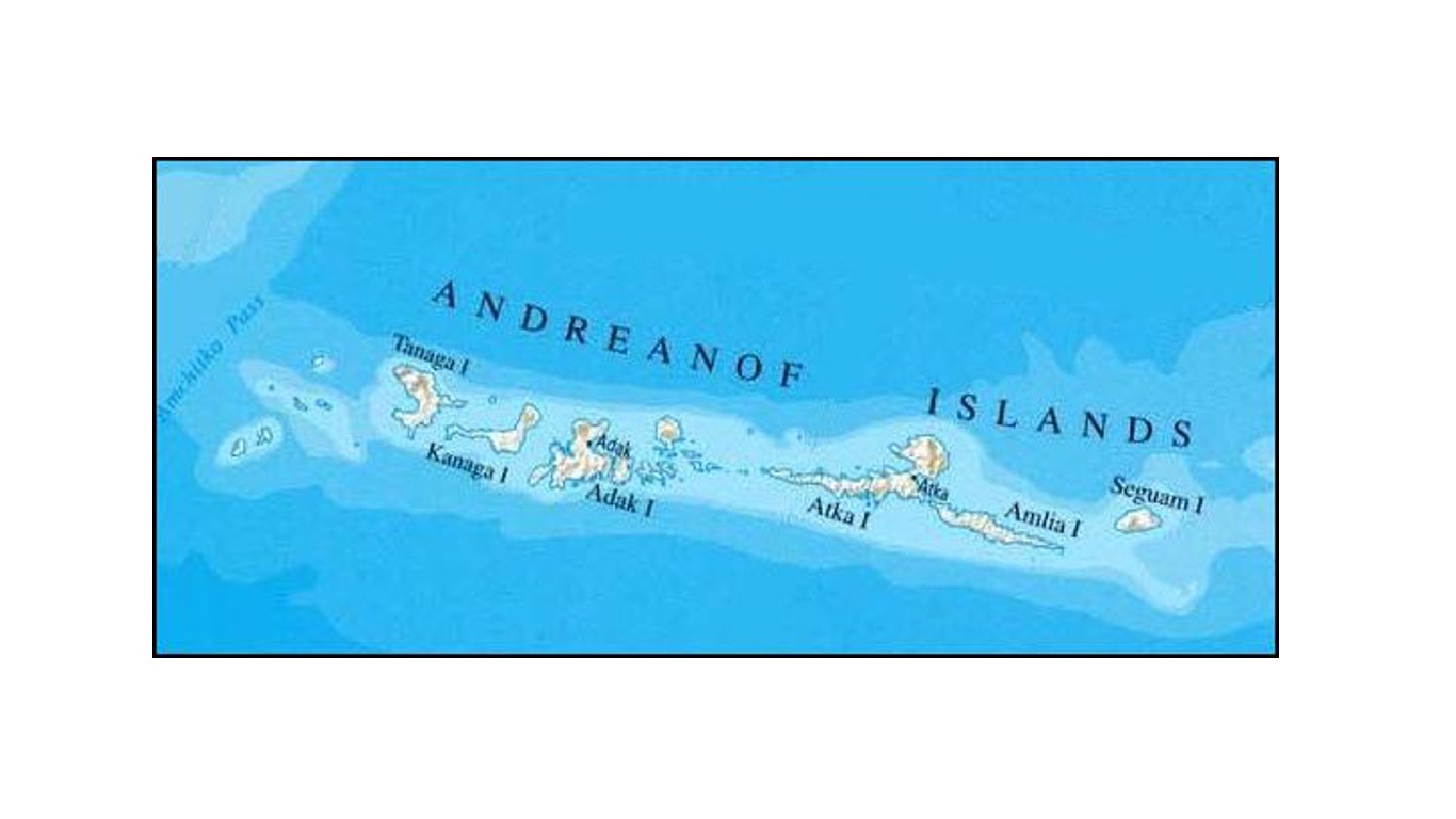
12. Andreanof Islands earthquake
> Magnitude: 8.6
> Location: Off the southern coast of Adak Island, Alaska
> Year: 1957
This March 9, 1957 earthquake occurred in the Aleutian Trench off the Andreanof Islands in the Aleutians. While it caused severe damage on nearby Adak Island, no casualties were reported. The subsequent tsunami, however, traveled as far as Chile and Japan and caused over $5.3 million in damage (in 1957 dollars) in the Hawaiian Islands, mostly on Oahu and Kauai.
[in-text-ad-2]
Source: Daniel Berehulak / Getty Images News via Getty Images
11. Nias earthquake
> Magnitude: 8.6
> Location: Off the northwest coast of Sumatra, Indonesia
> Year: 2005
On March 28, 2005, an earthquake that occurred halfway between the islands of Nias and Simeulue killed over 1,300 people, 1,000 of them on Nias. It destroyed over 300 buildings and caused tsunamis in the surrounding area. Several major aftershocks followed the main quake, which was felt strongly in Bangkok, 620 miles away, and mildly in India, Sri Lanka, and the Maldives.

10. Indian Ocean earthquake
> Magnitude: 8.6
> Location: Off the northwest coast of Sumatra, Indonesia
> Year: 2012
This earthquake that occurred in the Indian Ocean on April 11, 2012 was felt over a wide area, reaching as far away as Malaysia and the Maldives. It was followed by another quake of 8.2 magnitude as well as multiple other aftershocks. Although tsunami warnings were issued and many people fled to higher ground, the warnings were subsequently canceled. Only a handful of deaths were reported, most of them due to heart attacks.
[in-text-ad]

9. Assam-Tibet earthquake
> Magnitude: 8.6
> Location: Eastern Xizang-India border region
> Year: 1950
This August 15, 1950 earthquake centered in the Mishmi Hills in northeastern India, along the Tibetan border, caused widespread destruction in both India and Tibet, destroying dozens of villages and initiating devastating landslides and flooding. Casualties included 1,526 people in Assam and 3,300 in Tibet.
 24/7 Wall St.
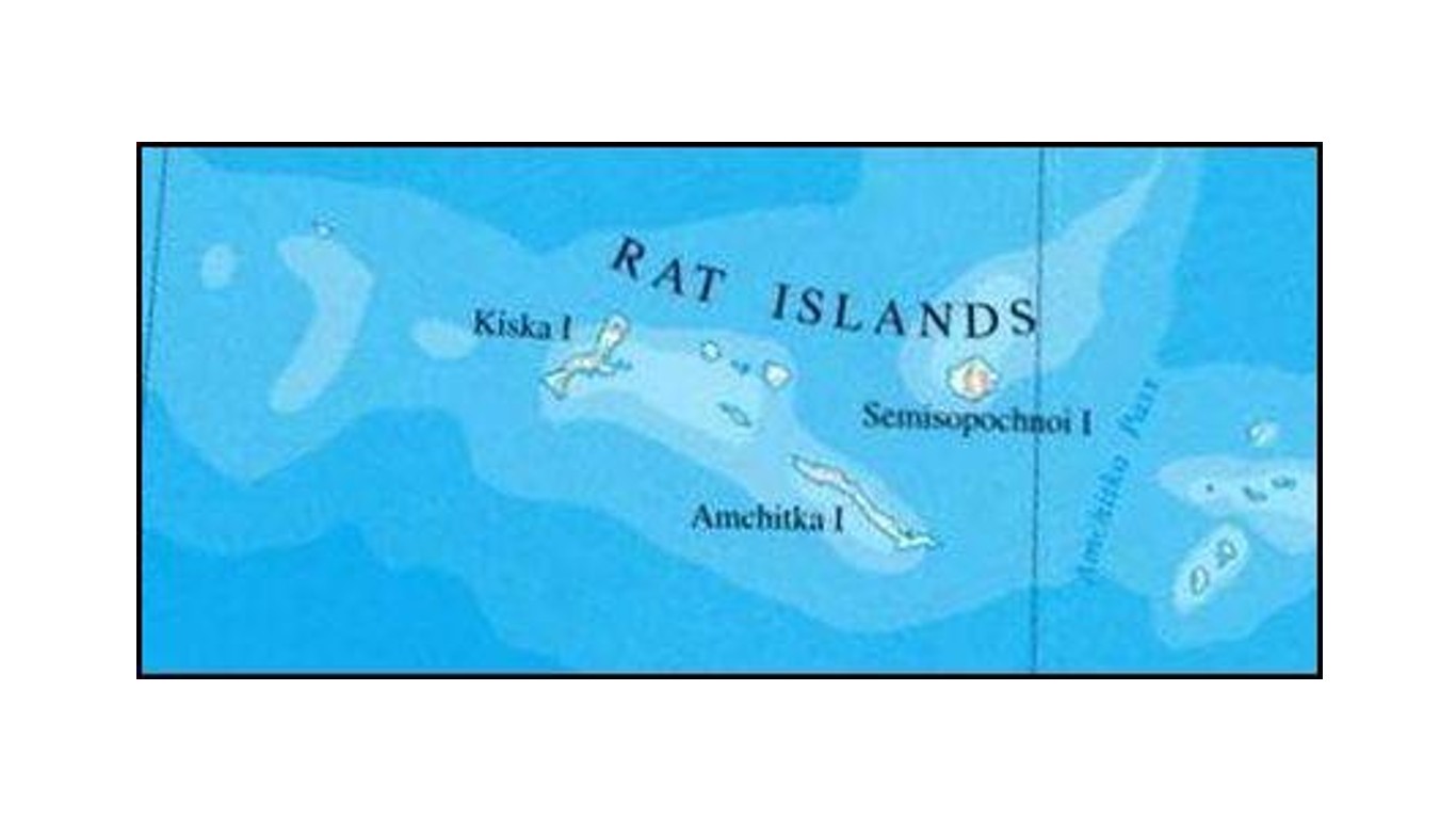
Source: Public Domain / Wikimedia Commons
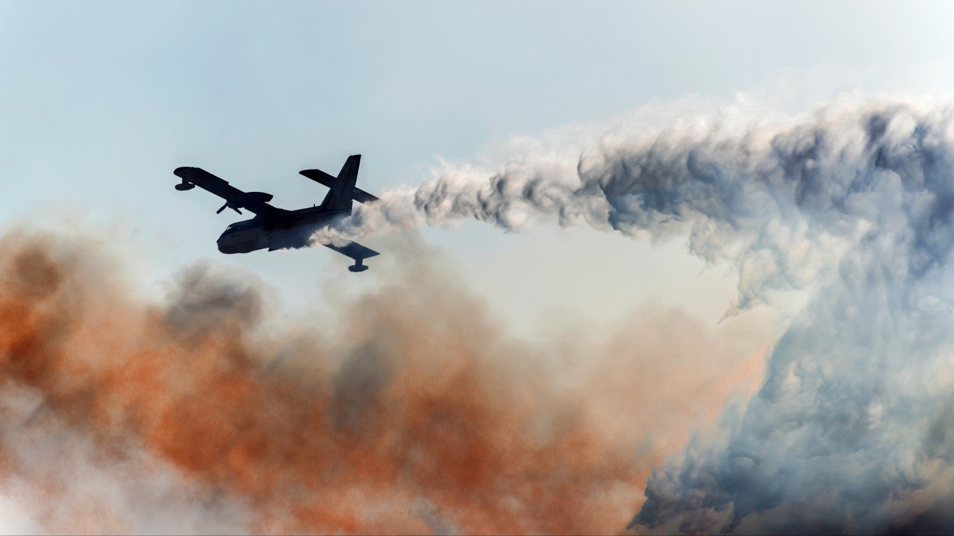
8. Rat Islands earthquake
> Magnitude: 8.7
> Location: Off the southwest coast of Amchitka Island, Alaska
> Year: 1965
On February 4, 1965, an earthquake on the Aleutian Plate near the Rat Islands caused a 35-foot tsunami that hit nearby Shemya Island, as well as smaller tsunamis that reached as far as Peru and Japan. The quake caused about $10,000 worth of damage on Amchitka Island, but no casualties were reported.
Source: xeni4ka / Getty Images
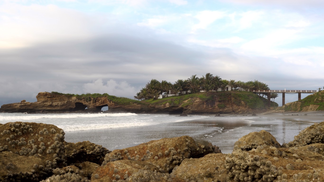
7. 1906 Ecuador-Colombia earthquake
> Magnitude: 8.8
> Location: Near the coast of Esmeraldas, Ecuador
> Year: 1906
This earthquake that occurred near the Ecuador coast on January 31, 1906 triggered a tsunami that reached heights of 16 feet in Colombia, causing between 500 and 1500 deaths there and in Ecuador. The tsunami reached as far as California, Hawaii, and Japan.
[in-text-ad-2]
Source: Joe Raedle / Getty Images News via Getty Images
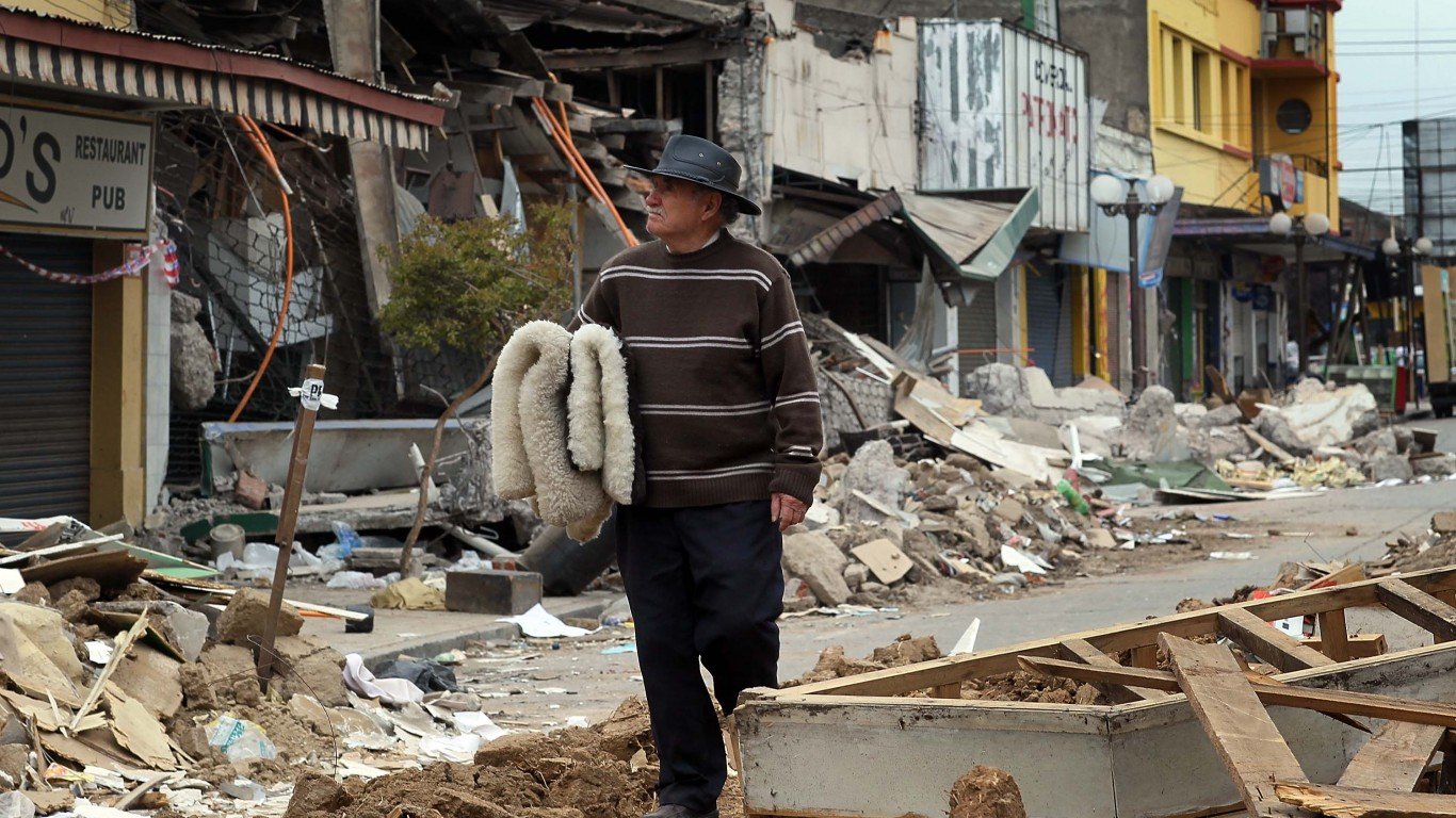
6. Maule earthquake
> Magnitude: 8.8
> Location: Near the coast of Bio Bio, Chile
> Year: 2010
With an epicenter just 1.9 miles off the Chilean coast near the town of Pelluhue, this earthquake at the convergence of the Nazca and South American tectonic plates coincided with a fault rupture that ran for over 300 miles parallel to the coast. Damages were estimated at $30 billion and included 37,000 houses, 4,200 boats, 4,013 schools, and 79 hospitals. About 1.8 million people were affected, with 800,000 displaced, 12,000 injured, and over 500 killed in the Concepción area alone.

5. Severo-Kurilsk earthquake
> Magnitude: 9.0
> Location: Off the east coast of the Kamchatka Peninsula, Russia
> Year: 1952
The most powerful earthquake in Russian history, this November 4, 1952 earthquake caused massive tsunamis that struck the Kuril Islands and the southern Kamchatka Peninsula, destroying the town of Severo-Kurilsk. Many residents fled to higher ground after the first tsunami, but over 2,000 were killed by the second wave after they returned to town. The tsunamis reached Hawaii, where damage exceeded $800,000, but no deaths were reported.
[in-text-ad]
Source: Chris McGrath / Getty Images News via Getty Images
4. Tōhoku earthquake
> Magnitude: 9.1
> Location: Off the east coast of Tōhoku, Japan
> Year: 2011
Centered 45 miles east of Japan’s Oshika Peninsula, this March 11, 2011 earthquake and subsequent tsunami caused widespread death and destruction in the region, and led to the Fukushima nuclear disaster. Tsunami waves reaching up to 133 feet high swept six miles inland in some areas. Over 19,000 people were killed, while over 6,000 were injured and hundreds of thousands were displaced from their homes. The estimated economic loss was over $309 billion, making it the costliest natural disaster in history.
 24/7 Wall St.
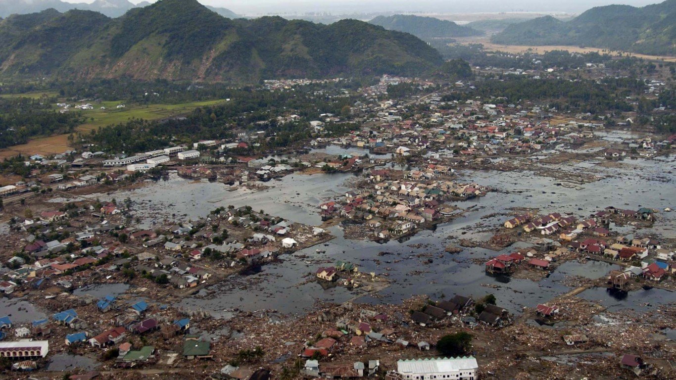
Source: Getty Images / Getty Images News via Getty Images
3. Sumatra-Andaman earthquake
> Magnitude: 9.1
> Location: Off the west coast of northern Sumatra
> Year: 2004
With origins in the Indian Ocean, this massive earthquake lasted eight to 10 minutes and triggered subsequent earthquakes as far away as Alaska. It resulted in the single most deadly tsunami in history, with 100-foot waves that devastated nearby coastal communities, killing over 283,000 people in 14 Asian and African countries and displacing over 1 million. The countries that experienced the most loss of life are (in order) Indonesia, Sri Lanka, India, and Thailand.

2. Great Alaskan earthquake
> Magnitude: 9.2
> Location: Off the southern coast of Alaska
> Year: 1964
This four-minute-and-38 s-cond earthquake originating in the Prince William Sound caused massive geological failures including soil liquefaction, landslides, and ground fissures that led to significant structural damage in Anchorage as well as landslide damage in Port Valdez. Subsequent tsunamis destroyed the village of Chinega and caused damage and some deaths in many other Alaskan towns as well as in British Columbia, on the West Coast of the U.S., and in Hawaii and Japan. The death toll is believed to be 131 and property damage is estimated at $311 million (in 1964 dollars).
[in-text-ad-2]
Source: National Oceanic and Atmospheric Association
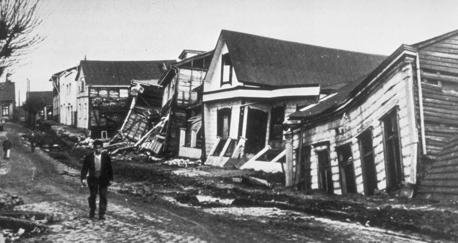
1. Valdivia earthquake
> Magnitude: 9.5
> Location: Bio-Bio, Chile
> Year: 1960
Also known as the Great Chilean earthquake, this May 22, 1960 quake is the most powerful ever recorded. It caused tsunamis that battered the Chilean coast and led to damage and deaths in numerous countries including Hawaii, Japan, the Philippines, and New Zealand. A conservative worldwide death toll estimate is 1,655, with an additional 3,000 injuries and over 2 million people displaced. The damage to Chile was about $550 million, with another $75 million in damage in Hawaii and $50 million in Japan.
Take This Retirement Quiz To Get Matched With A Financial Advisor (Sponsored)
Take the quiz below to get matched with a financial advisor today.
Each advisor has been vetted by SmartAsset and is held to a fiduciary standard to act in your best interests.
Here’s how it works:
1. Answer SmartAsset advisor match quiz
2. Review your pre-screened matches at your leisure. Check out the
advisors’ profiles.
3. Speak with advisors at no cost to you. Have an introductory call on the phone or introduction in person and choose whom to work with in the future
Take the retirement quiz right here.
Thank you for reading! Have some feedback for us?
Contact the 24/7 Wall St. editorial team.
Editors' Picks