The climate crisis is, in many ways, a water crisis. As rivers heat up, the likelihood of catastrophic drought, flooding, and the extinction of aquatic wildlife increases. And this isn’t a problem for the future: The future is now.
No matter where you live, your local rivers and drinking water are likely being affected by climate change. And unfortunately, inequities both historic and contemporary mean that Black, indigenous, and other marginalized communities are usually the ones that are the most affected.
The threats facing our rivers are manifold. In some cases, water levels are too low to irrigate fields and support the local economy. In others, dams have decimated wildlife populations. In still others, pollution is destroying biodiversity and turning drinking water non potable. (Here are some natural landmarks already damaged or destroyed by climate change.)
To determine America’s most endangered rivers, as well as the threats they face and the resources at risk, 24/7 Wall St. reviewed data from America’s Most Endangered Rivers 2022, a report by American Rivers, an advocacy group focused on protecting wild rivers, restoring damaged ones, and conserving clean water.
Click here to read about America’s most endangered rivers
The group selects rivers from a pool of nominations from river conservation groups and concerned citizens across the country, then ranks them based on criteria including the magnitude of the threat to the river and associated communities, the significance of the river to human and natural communities, and the extent to which the public can help influence a major decision affecting the river in the coming year. Data on river length comes from Britannica and other online sources. (These are the 40 longest rivers on earth.)

10. Tar Creek (OK)
> Length: 11 miles
> Threat: Mining pollution
> At risk: Clean water, public health
Oklahoma’s Tar Creek flows through what was once rich grassland, supporting a rich ecosystem of fish, mussels, and plants. Due to decades of mining, however, toxic mine water contaminated with heavy metals including zinc, arsenic, and cadmium has flowed into the creek at the rate of a million gallons a day since 1979. Most of the aquatic life has been killed and the water is orange. The surrounding area is one of America’s largest EPA Superfund sites, targeted for the mitigation of hazardous substances.
[in-text-ad]
Source: MattGush / iStock via Getty Images
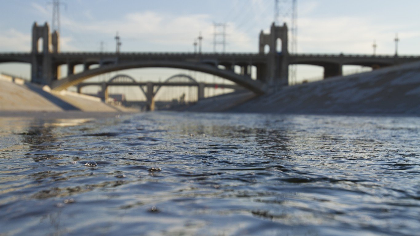
9. Los Angeles River (CA)
> Length: 55 miles
> Threat: Inadequate management, climate change, pollution
> At risk: Clean water, healthy communities, wildlife habitat
Once a primary water source for the region’s Tribal Nations, the LA River is today primarily a concrete flood control channel, with only 5% of its natural sections remaining. It’s prone to flooding during large storms, and communities built along its banks are in harm’s way. Its future hangs in the balance, as one vision prioritizes using the river as a way to protect nature and connect communities and another seeks to divert water from the river, perhaps leading to it going permanently dry.
 24/7 Wall St.
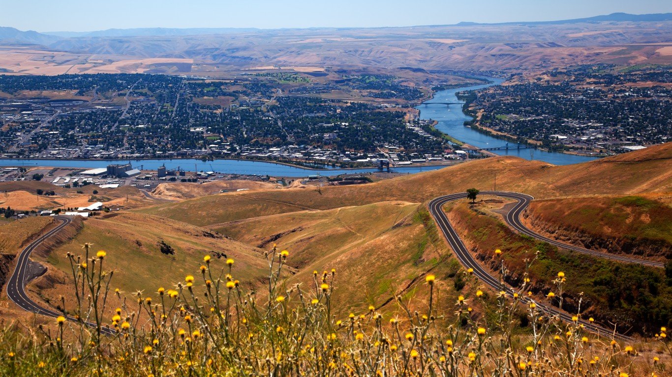
8. San Pedro River (AZ)
> Length: 175 miles
> Threat: Unregulated groundwater pumping, poorly planned development
> At risk: Endangered species, riparian ecosystems, migratory birds
One of the last free-flowing major rivers in the desert Southwest, Arizona’s San Pedro River supports one of the country’s most diverse ecosystems, including nearly half of the 900 species of migratory birds in North America as well as endangered and threatened land species including jaguars and ocelots. However, due to poorly-planned development, too much groundwater pumping is causing sections of the river to dry up. At the same time, the Trump administration’s rollbacks to the Clean Water Act removed protections for seasonal and intermittent streams, which encompass almost 94% of the river’s waterways.

7. Lower Kern River (CA)
> Length: 70 miles
> Threat: Excessive water withdrawals
> At risk: Fish and wildlife habitat, community access to river
For much of its run, the Kern River flows through the mountains of Central California, serving as one of the state’s top destinations for white water rafting, fishing, and kayaking. Once it reaches Bakersfield, however, the river’s last 25-mile stretch is diverted in order to irrigate fields, and what remains is a dusty, dry riverbed that’s largely bereft of life. It can flow again if only 15-20% of the river’s average flow is allowed to remain, which can be achieved by forcing local water districts to adhere to minimum flow requirements.
[in-text-ad-2]
Source: pabradyphoto / iStock via Getty Images
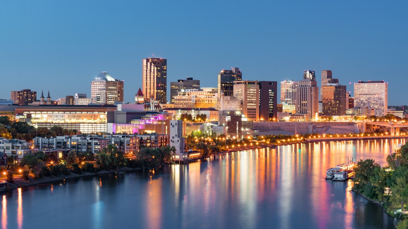
6. Mississippi River (MN, WI, IL, IA, MO, TN, AR, MS, LA)
> Length: 2,340 miles
> Threat: Pollution, habitat loss
> At risk: Clean water, fish and wildlife habitat, biodiversity, local economies, public health and safety
Yes, even the mighty Mississippi River is threatened. The river supports millions of people as well as countless hundreds of species of birds, fish, and other wildlife, and is one of North America’s most crucial lifelines. However, pollution and contamination of the river from farm fertilizer and industry goes largely unchecked, existing infrastructure is insufficient to handle climate change-driven effects including flooding, new development is draining wetlands, and rising temperatures are causing toxic algae outbreaks that create dead zones.
Source: Esprit8694 / iStock via Getty Images
5. Coosa River (AL, GA)
> Length: 286 miles
> Threat: Industrial agricultural pollution
> At risk: Clean drinking water, public health, wildlife habitat
When dams and reservoirs transformed the Coosa River in the 1900s it caused one of the largest mass extinctions of flora and fauna in American history, wiping out more than 30 unique species. However, the Coosa is still home to more biodiversity than any other river in the Mobile River Basin. Unfortunately, massive industrial poultry farms along its banks are flooding the river with millions of tons of chicken feces, polluting drinking water and threatening the health of the river and the species that rely on it.
[in-text-ad]
Source: GarysFRP / Getty Images
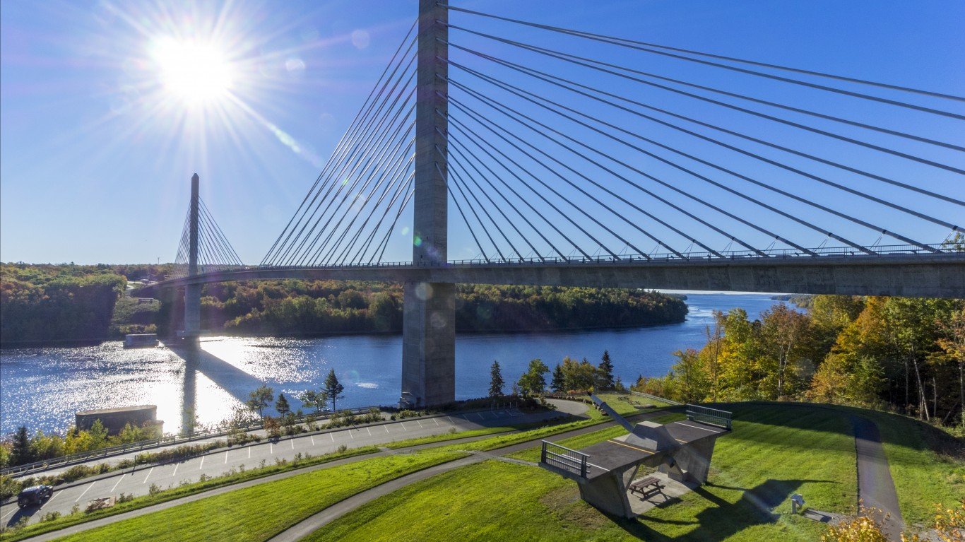
4. Atlantic Salmon Rivers (Kennebec, Penobscot, and Union) (ME)
> Length: 522 miles
> Threat: Dams
> At risk: Atlantic salmon, tribal sustenance, clean water
Most of us aren’t even aware that wild Atlantic salmon once swam freely throughout New England’s rivers, and that’s because these populations have been largely wiped out, only returning every year to a handful of rivers in Maine. Dams along these rivers have driven these critically endangered fish to the brink of extinction by not permitting them to swim upstream.
 24/7 Wall St.
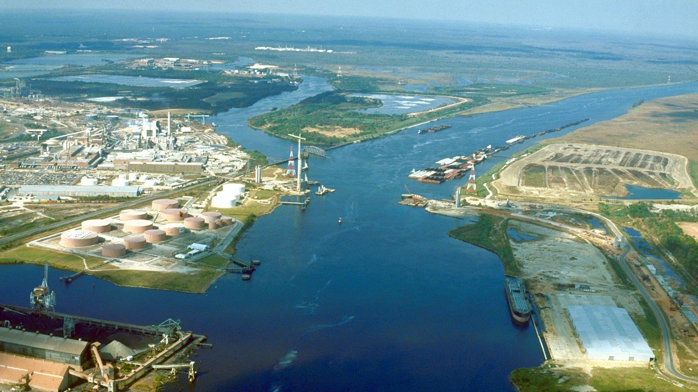
Source: Public Domain / Wikimedia Commons
3. Mobile River (AL)
> Length: 45 miles
> Threat: Coal ash pollution
> At risk: Clean water, public health, biodiversity, groundwater
The Mobile River watershed accounts for 14% of America’s total flowing freshwater. It’s also an important source of fish, mode of transportation, and outlet for recreation, including fishing, boating, and kayaking. However, a coal ash pond at Alabama Power Plant Barry, along the banks of the river, contains more than 21 million tons of coal ash (which contains countless heavy metals and carcinogens) that is leaking into the river.
Source: bpperry / iStock via Getty Images
2. Snake River (ID, OR, WA)
> Length: 1,040 miles
> Threat: Four federal dams
> At risk: Tribal Treaty rights and culture, endangered salmon runs, rural communities, local economies
The Snake River once produced nearly 40% of the Columbia River Basin’s prized chinook salmon, supporting the region’s Tribal Nations as well as the entire food web from salamanders to killer whales. Between 1955 to 1975, however, the U.S. Army Corps of Engineers built four dams on the Lower Snake River in southeastern Washington in order to generate a small amount of hydropower and allow barge access, which devastated the salmon population. Wild salmon returns plummeted by more than 90% after dam construction, driving the population to the brink of extinction and creating reservoirs with temperatures too high for salmon, but perfect for non-native invasive predators.
[in-text-ad-2]
Source: benedek / E+ via Getty Images
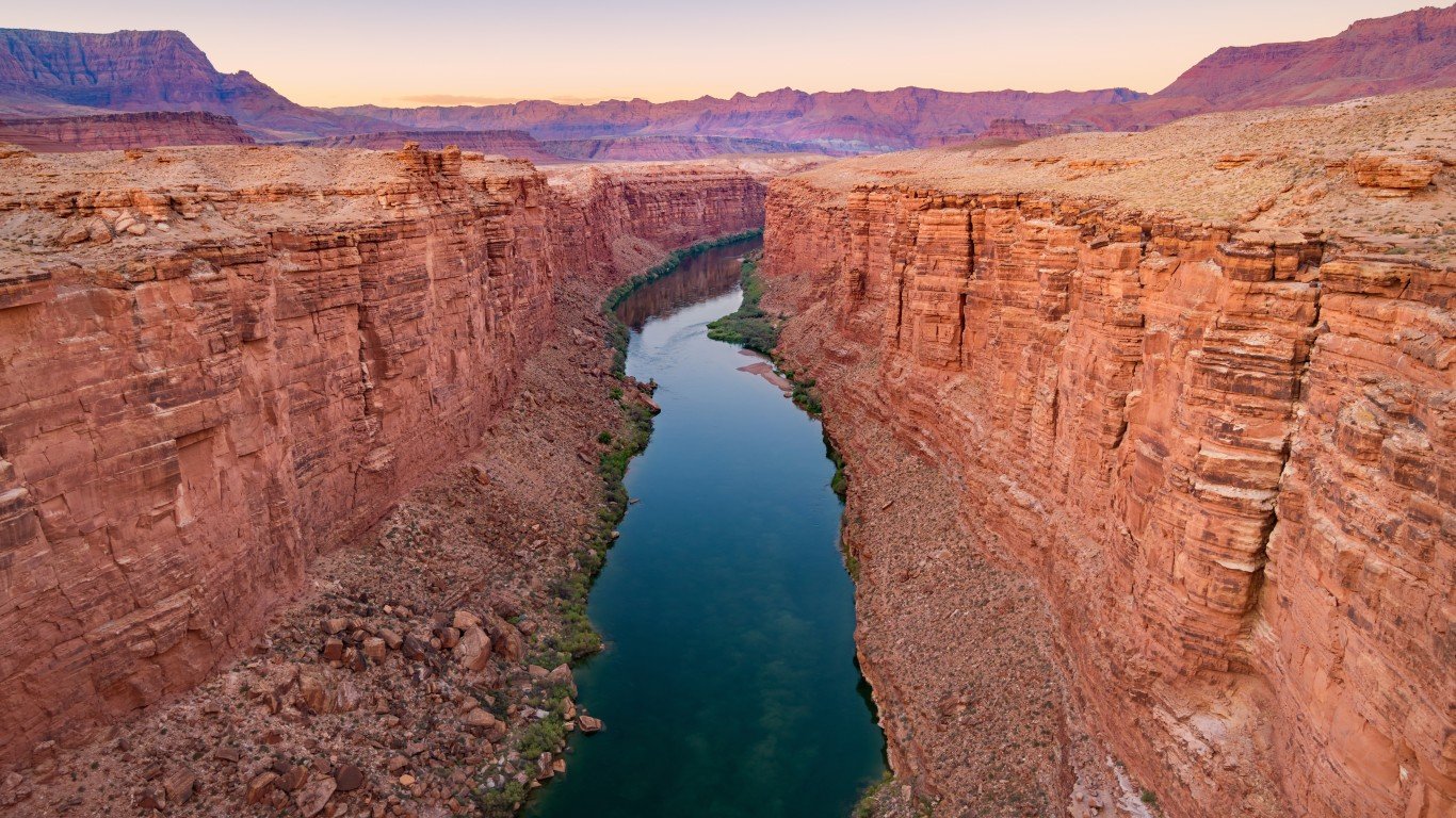
1. Colorado River (AZ, CA, NV, CO, UT, NM, WY, northern Mexico)
> Length: 1,450 miles
> Threat: Climate change, outdated management
> At risk: Reliable water supplies, regional economy, river health
The Colorado River is one of America’s most vital lifelines, providing drinking water for 40 million people, irrigating millions of acres of land, and supporting a $1.4 trillion economy that includes hundreds of thousands of jobs. However, due to climate change-induced drought, river flows are at historically low levels (as are Lake Powell and Lake Mead), and there is simply not enough water to support all current needs. Climate change is also expected to further lower the river’s flow by 10-30% by 2050. Many cities and towns supplied by the river are expected to lose access to water for drinking and irrigation over the coming years, and mismanagement and overallocation of limited water supplies are adding insult to injury.
Take This Retirement Quiz To Get Matched With A Financial Advisor (Sponsored)
Take the quiz below to get matched with a financial advisor today.
Each advisor has been vetted by SmartAsset and is held to a fiduciary standard to act in your best interests.
Here’s how it works:
1. Answer SmartAsset advisor match quiz
2. Review your pre-screened matches at your leisure. Check out the
advisors’ profiles.
3. Speak with advisors at no cost to you. Have an introductory call on the phone or introduction in person and choose whom to work with in the future
Take the retirement quiz right here.
Thank you for reading! Have some feedback for us?
Contact the 24/7 Wall St. editorial team.
Editors' Picks