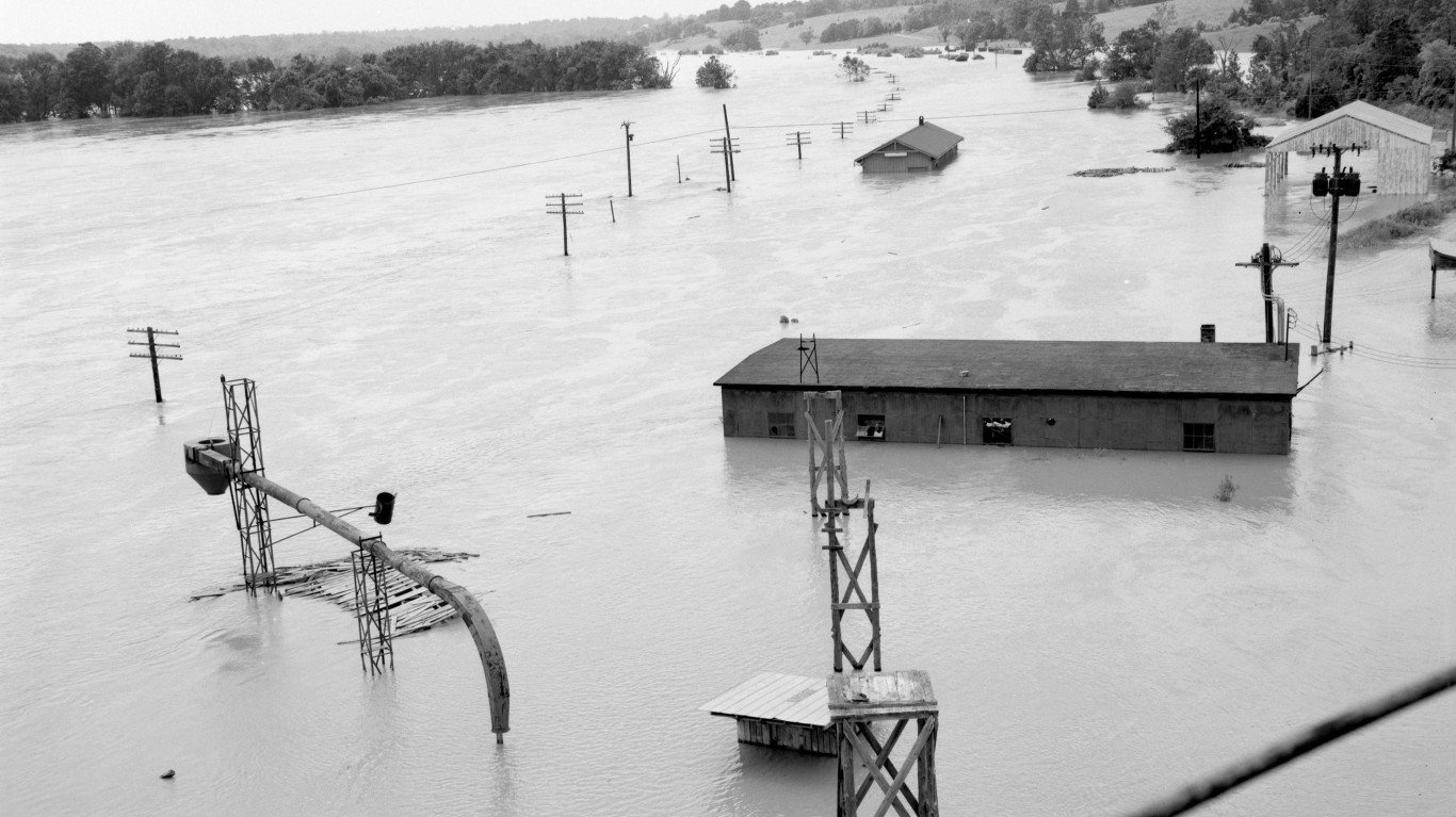
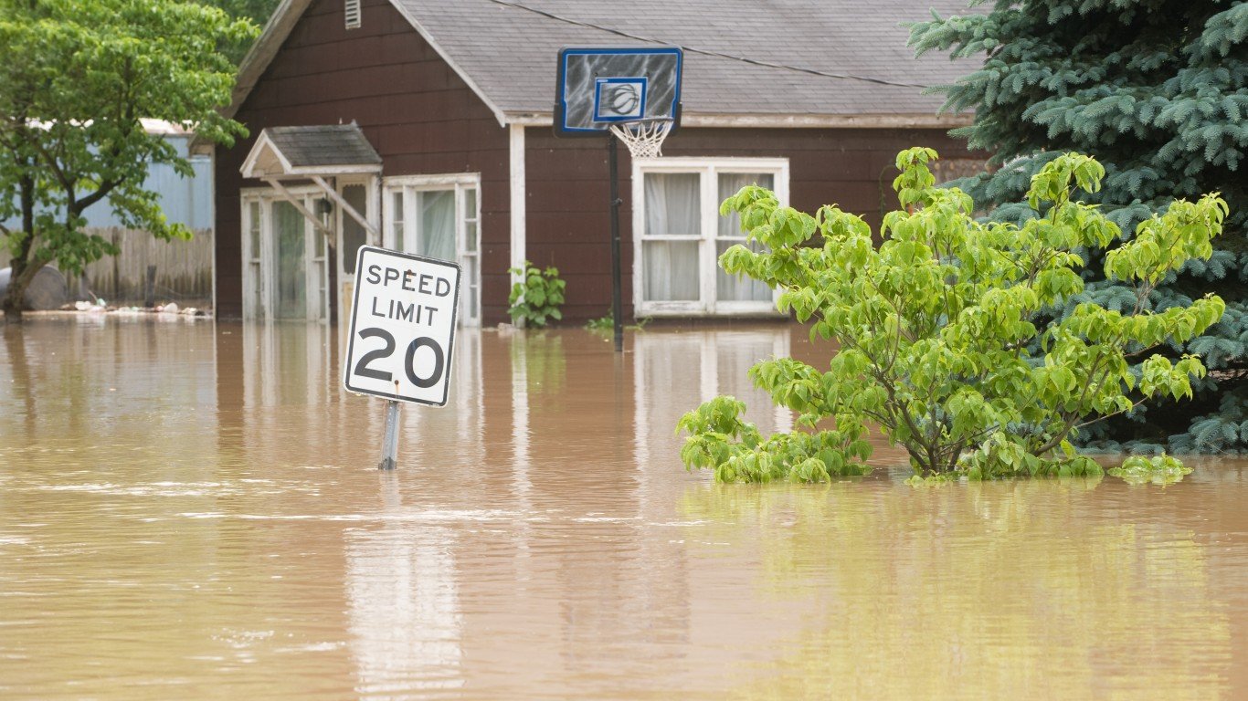
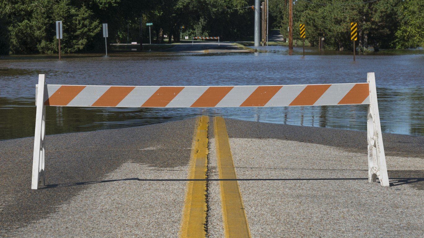
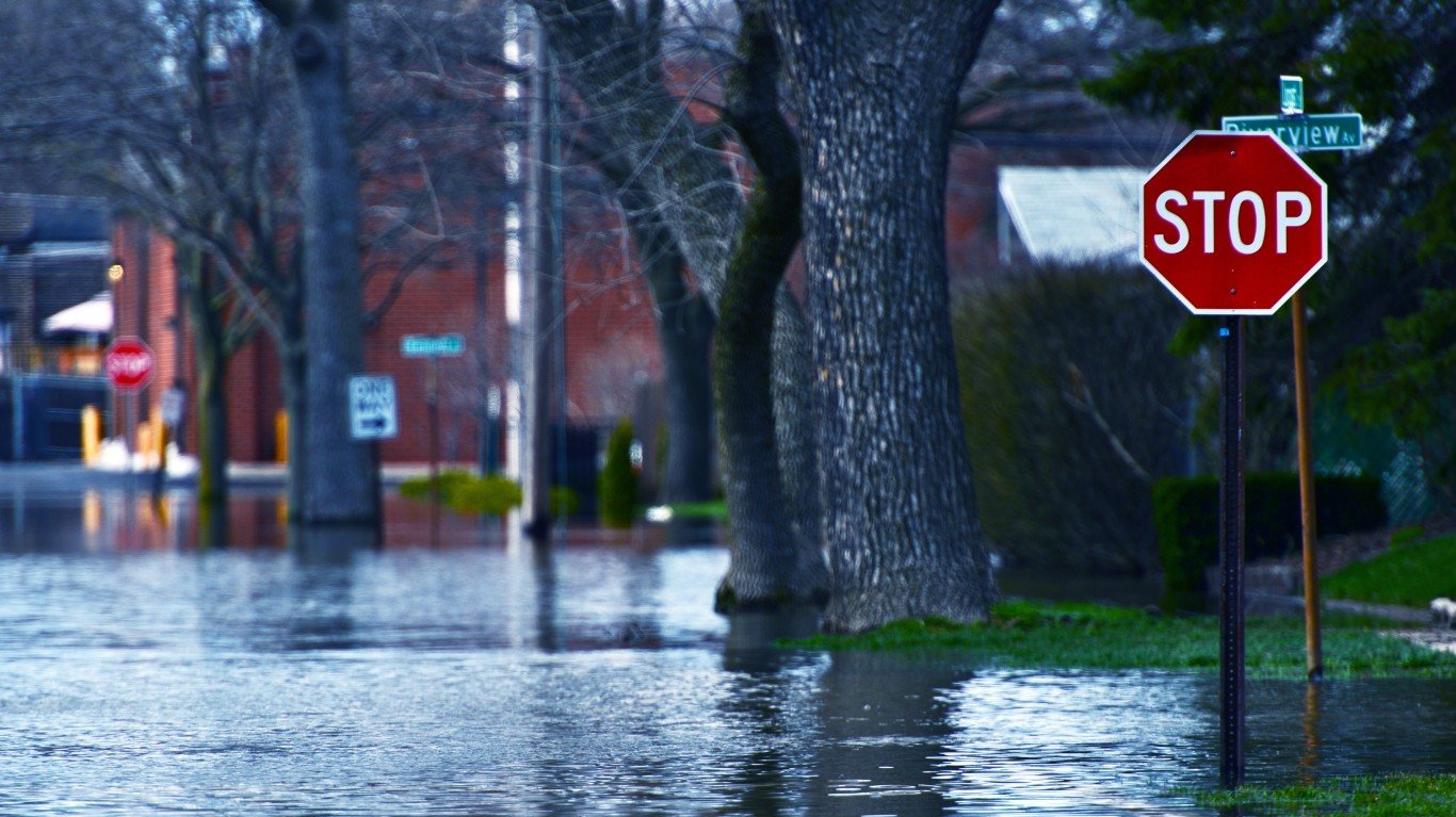
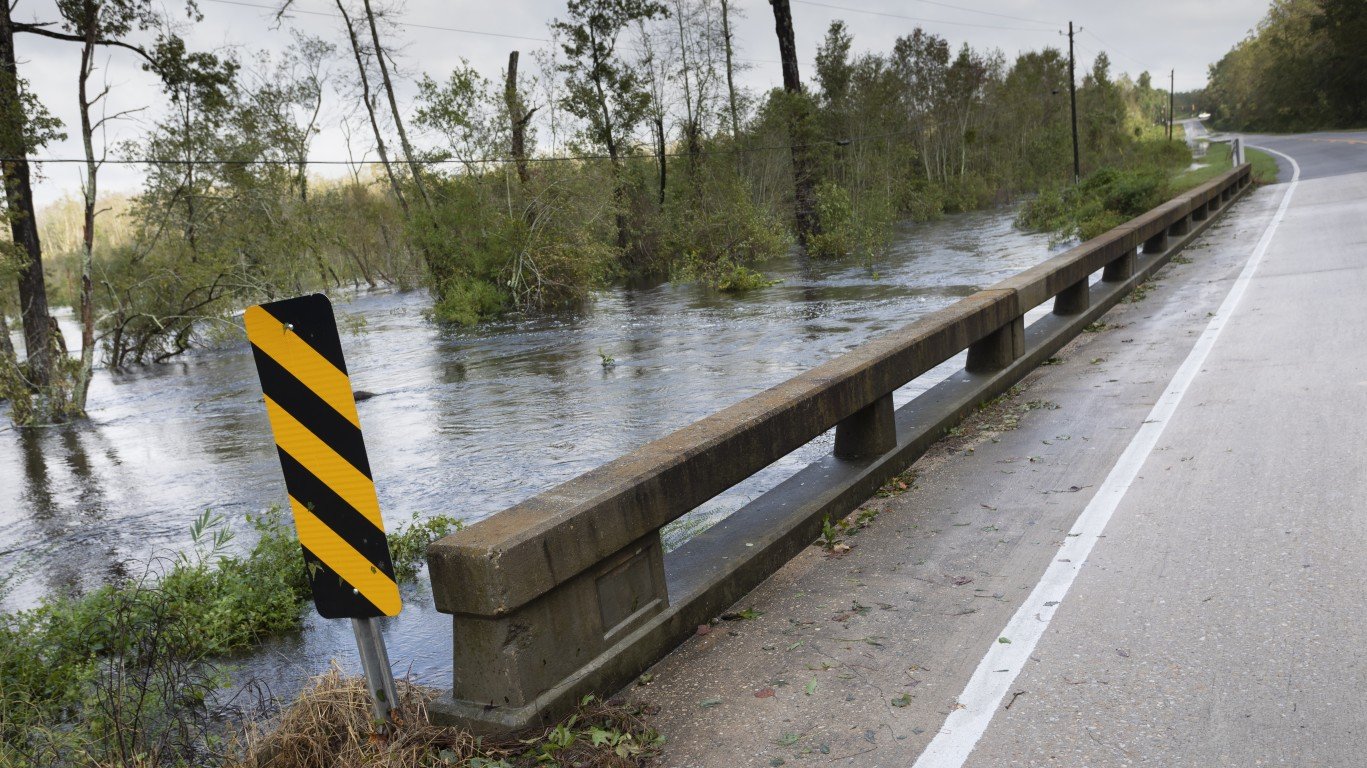
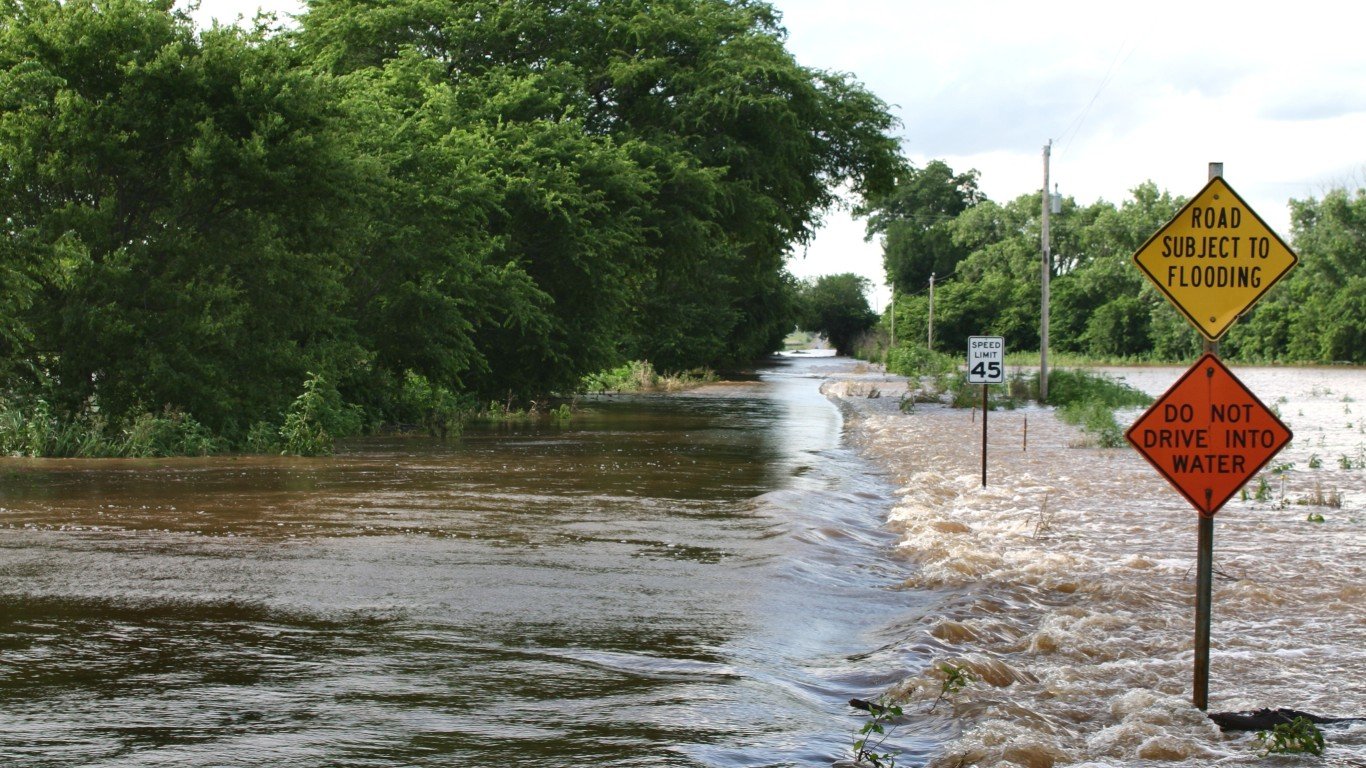
Among the major natural disasters, floods are the deadliest, and are the most common of all weather-related natural disasters in the United States. They kill more people each year than hurricanes, tornadoes, or lightning. Though they can happen almost anywhere, floods most often happen along rivers and coasts – and the likelihood of both types is rising in some parts of the country, apparently because of climate change.
NASA predicts that, due to global warming, hurricanes will increase in intensity. The more intense rainfall and stronger winds, combined with higher storm surge caused by rising seas, will likely increase flood risk for communities along the coast, NASA notes. Other common causes of flood such as heavy rain, snow melts, and storm surges are also greatly impacted by climate change. (Also see, the 18 separate billion dollar weather and climate disasters in 2022.)
Along rivers and streams, too, floods have generally become larger and more frequent in some parts of the country and decreased in others, coinciding with changing weather patterns. Floods have become larger across the Northeast and the Midwest and have increased in frequency in the Northeast, Pacific Northwest, and northern Great Plains, according to the Environmental Protection Agency.
To find the states Americans should leave because of high flood risks, 24/7 Wall St. used the Centers for Disease Control and Prevention National Environmental Public Health Tracking Network to calculate the area of each state designated EPA Flood Hazard Area – areas that have a 1% annual chance of coastal or riverine flooding based on the 100-year flood zone – as of 2020.
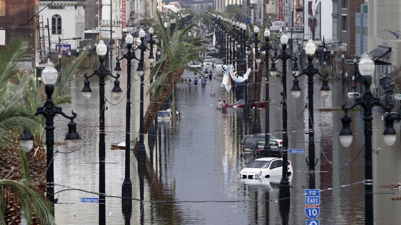
In Louisiana, where nearly 42% of the state is designated as at risk of flood, the EPA warns that in the coming decades, rising sea level is likely to accelerate coastal erosion caused today by sinking land and human activities. In fact, Louisiana has been losing about 25 square miles of land per year in recent decades. Much of New Orleans and other populated areas in the state are already below sea level and are protected by levees and pumping systems. With a higher sea level, these may be overtopped more often during storms. (See where New Orleans ranks on the worst cities to live as climate change gets worse.)
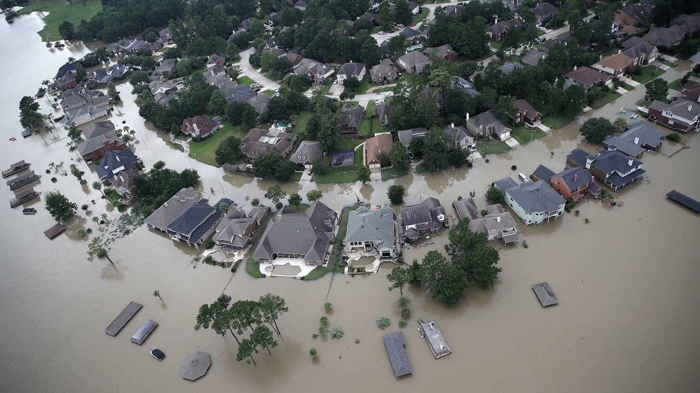
While in Florida, which is mostly susceptible to coastal flooding due to tropical storms, 32% of the state is designated special flood hazard area, millions of people live in areas at risk of flood. Miami-Dade County, in particular, has a high risk coastal flooding, but areas inland as well. Yet despite the risk of flood, development has been rapid and often sits on top of previous fields and marshes, an NPR analysis reveals.
Click here to see the 20 states with the highest risk of flooding.
Click here to read our detailed methodology.

20. Minnesota
> Pct. state designated Flood Hazard Area, EPA 2020: 12.0% (10,395 sq. mi.)
> County with highest coastline flood risk index score: N/A
> County with highest riverine flood risk index score: Fillmore (13.8/100 – Relatively Moderate)
> State population, 2021: 5,707,390
[in-text-ad]

19. Iowa
> Pct. state designated Flood Hazard Area, EPA 2020: 12.2% (6,841 sq. mi.)
> County with highest coastline flood risk index score: N/A
> County with highest riverine flood risk index score: Linn (23.7/100 – Relatively Low)
> State population, 2021: 3,193,079
Source: EEI_Tony / Getty Images
18. Indiana
> Pct. state designated Flood Hazard Area, EPA 2020: 12.2% (4,461 sq. mi.)
> County with highest coastline flood risk index score: N/A
> County with highest riverine flood risk index score: Lake (20.4/100 – Relatively Low)
> State population, 2021: 6,805,985

17. Tennessee
> Pct. state designated Flood Hazard Area, EPA 2020: 12.4% (5,208 sq. mi.)
> County with highest coastline flood risk index score: N/A
> County with highest riverine flood risk index score: Shelby (52.4/100 – Relatively Low)
> State population, 2021: 6,975,218
[in-text-ad-2]
Source: KSwinicki / iStock via Getty Images
16. Kansas
> Pct. state designated Flood Hazard Area, EPA 2020: 12.6% (10,373 sq. mi.)
> County with highest coastline flood risk index score: N/A
> County with highest riverine flood risk index score: Montgomery (21.5/100 – Relatively Low)
> State population, 2021: 2,934,582
Source: Win McNamee / Getty Images News via Getty Images
15. Texas
> Pct. state designated Flood Hazard Area, EPA 2020: 13.0% (34,886 sq. mi.)
> County with highest coastline flood risk index score: Cameron (61.4/100 – Relatively High)
> County with highest riverine flood risk index score: Harris (100.0/100 – Very High)
> State population, 2021: 29,527,941
[in-text-ad]
Source: welcomia / iStock via Getty Images
14. Illinois
> Pct. state designated Flood Hazard Area, EPA 2020: 13.3% (7,696 sq. mi.)
> County with highest coastline flood risk index score: N/A
> County with highest riverine flood risk index score: Cook (40.9/100 – Very Low)
> State population, 2021: 12,671,469

Source: Michael Bocchieri / Getty Images News via Getty Images
13. New Jersey
> Pct. state designated Flood Hazard Area, EPA 2020: 13.5% (1,181 sq. mi.)
> County with highest coastline flood risk index score: Ocean (100.0/100 – Very High)
> County with highest riverine flood risk index score: Ocean (28.6/100 – Relatively High)
> State population, 2021: 9,267,130
Source: Brett Taylor / iStock via Getty Images
12. Utah
> Pct. state designated Flood Hazard Area, EPA 2020: 13.7% (11,637 sq. mi.)
> County with highest coastline flood risk index score: Salt Lake (3.2/100 – Very Low)
> County with highest riverine flood risk index score: Washington (39.3/100 – Relatively Moderate)
> State population, 2021: 3,337,975
[in-text-ad-2]

11. Delaware
> Pct. state designated Flood Hazard Area, EPA 2020: 13.8% (343 sq. mi.)
> County with highest coastline flood risk index score: Sussex (38.4/100 – Relatively High)
> County with highest riverine flood risk index score: New Castle (12.4/100 – Relatively Moderate)
> State population, 2021: 1,003,384
Source: gsagi / iStock via Getty Images
10. North Carolina
> Pct. state designated Flood Hazard Area, EPA 2020: 13.8% (7,441 sq. mi.)
> County with highest coastline flood risk index score: Dare (23.3/100 – Relatively Moderate)
> County with highest riverine flood risk index score: Edgecombe (28.3/100 – Relatively High)
> State population, 2021: 10,551,162
[in-text-ad]
Source: cstar55 / E+ via Getty Images
9. Oklahoma
> Pct. state designated Flood Hazard Area, EPA 2020: 14.6% (10,224 sq. mi.)
> County with highest coastline flood risk index score: N/A
> County with highest riverine flood risk index score: Oklahoma (25.3/100 – Relatively High)
> State population, 2021: 3,986,639
 24/7 Wall St.
Source: LCBallard / iStock Editorial via Getty Images
8. Georgia
> Pct. state designated Flood Hazard Area, EPA 2020: 14.7% (8,727 sq. mi.)
> County with highest coastline flood risk index score: Chatham (23.3/100 – Relatively Moderate)
> County with highest riverine flood risk index score: DeKalb (19.5/100 – Relatively Low)
> State population, 2021: 10,799,566

7. Missouri
> Pct. state designated Flood Hazard Area, EPA 2020: 14.7% (10,260 sq. mi.)
> County with highest coastline flood risk index score: N/A
> County with highest riverine flood risk index score: Taney (27.0/100 – Relatively Low)
> State population, 2021: 6,168,187
[in-text-ad-2]
Source: Jens_Lambert_Photography / iStock via Getty Images
6. Alabama
> Pct. state designated Flood Hazard Area, EPA 2020: 15.2% (7,972 sq. mi.)
> County with highest coastline flood risk index score: Mobile (13.8/100 – Relatively Low)
> County with highest riverine flood risk index score: Jefferson (38.9/100 – Relatively High)
> State population, 2021: 5,039,877
Source: Sean Rayford / Getty Images News via Getty Images
5. South Carolina
> Pct. state designated Flood Hazard Area, EPA 2020: 19.7% (6,311 sq. mi.)
> County with highest coastline flood risk index score: Beaufort (27.4/100 – Relatively Moderate)
> County with highest riverine flood risk index score: Beaufort (22.9/100 – Relatively High)
> State population, 2021: 5,190,705
[in-text-ad]

Source: Robert Sullivan / iStock via Getty Images
4. Arkansas
> Pct. state designated Flood Hazard Area, EPA 2020: 19.9% (10,560 sq. mi.)
> County with highest coastline flood risk index score: N/A
> County with highest riverine flood risk index score: Jefferson (23.1/100 – Relatively Moderate)
> State population, 2021: 3,025,891
 24/7 Wall St.
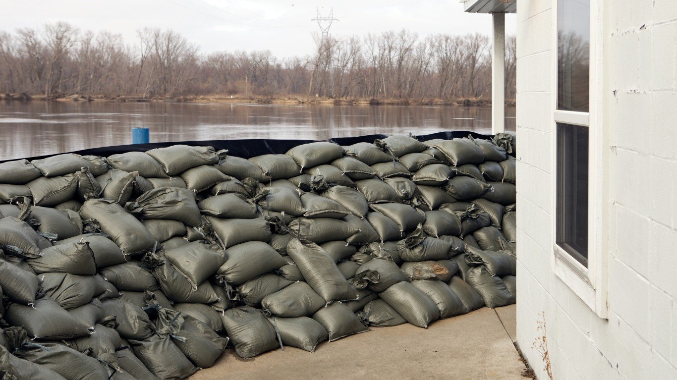
Source: BanksPhotos / E+ via Getty Images
3. Mississippi
> Pct. state designated Flood Hazard Area, EPA 2020: 21.1% (10,235 sq. mi.)
> County with highest coastline flood risk index score: Jackson (14.7/100 – Relatively Low)
> County with highest riverine flood risk index score: Hinds (34.6/100 – Relatively Moderate)
> State population, 2021: 2,949,965
Source: Mark Wallheiser / Getty Images News via Getty Images
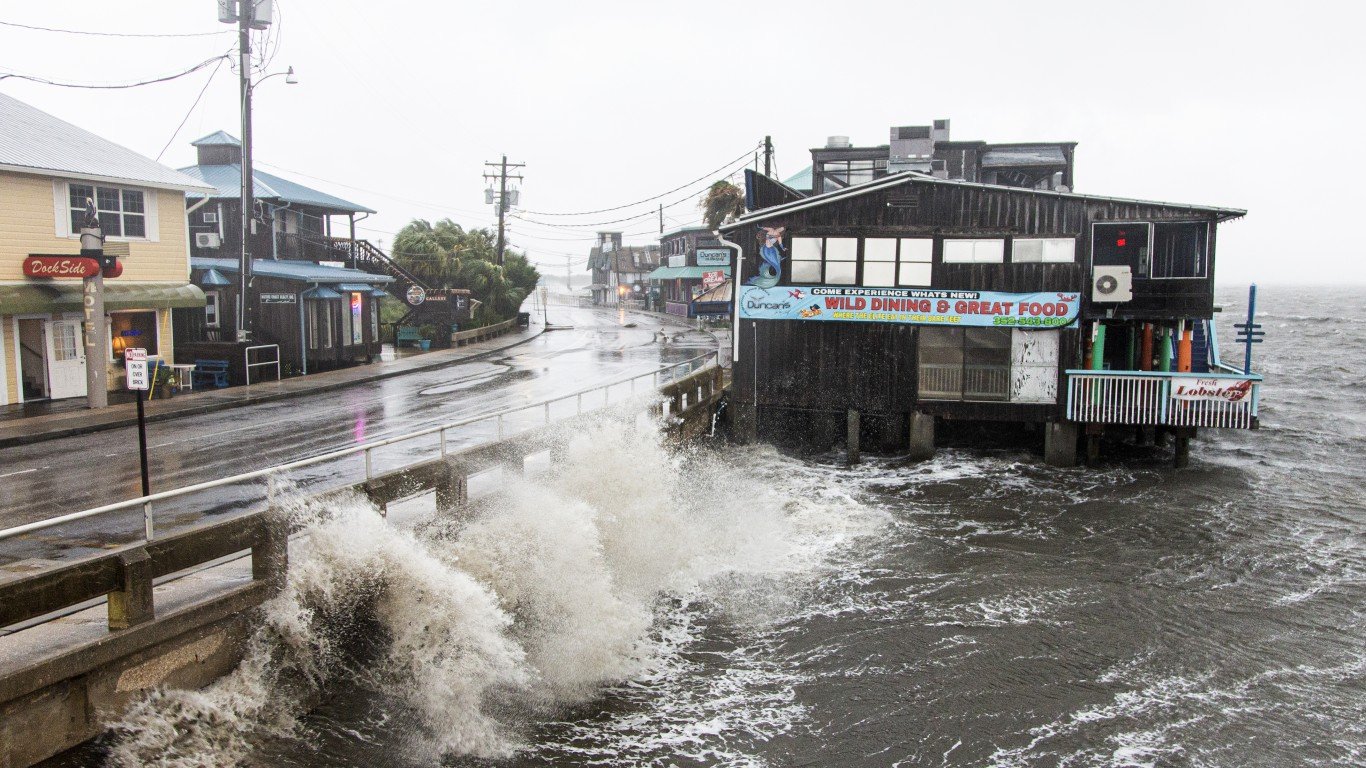
2. Florida
> Pct. state designated Flood Hazard Area, EPA 2020: 31.7% (20,850 sq. mi.)
> County with highest coastline flood risk index score: Miami-Dade (94.0/100 – Very High)
> County with highest riverine flood risk index score: Miami-Dade (77.2/100 – Very High)
> State population, 2021: 21,781,128
[in-text-ad-2]
Source: Chris Graythen / Getty Images News via Getty Images
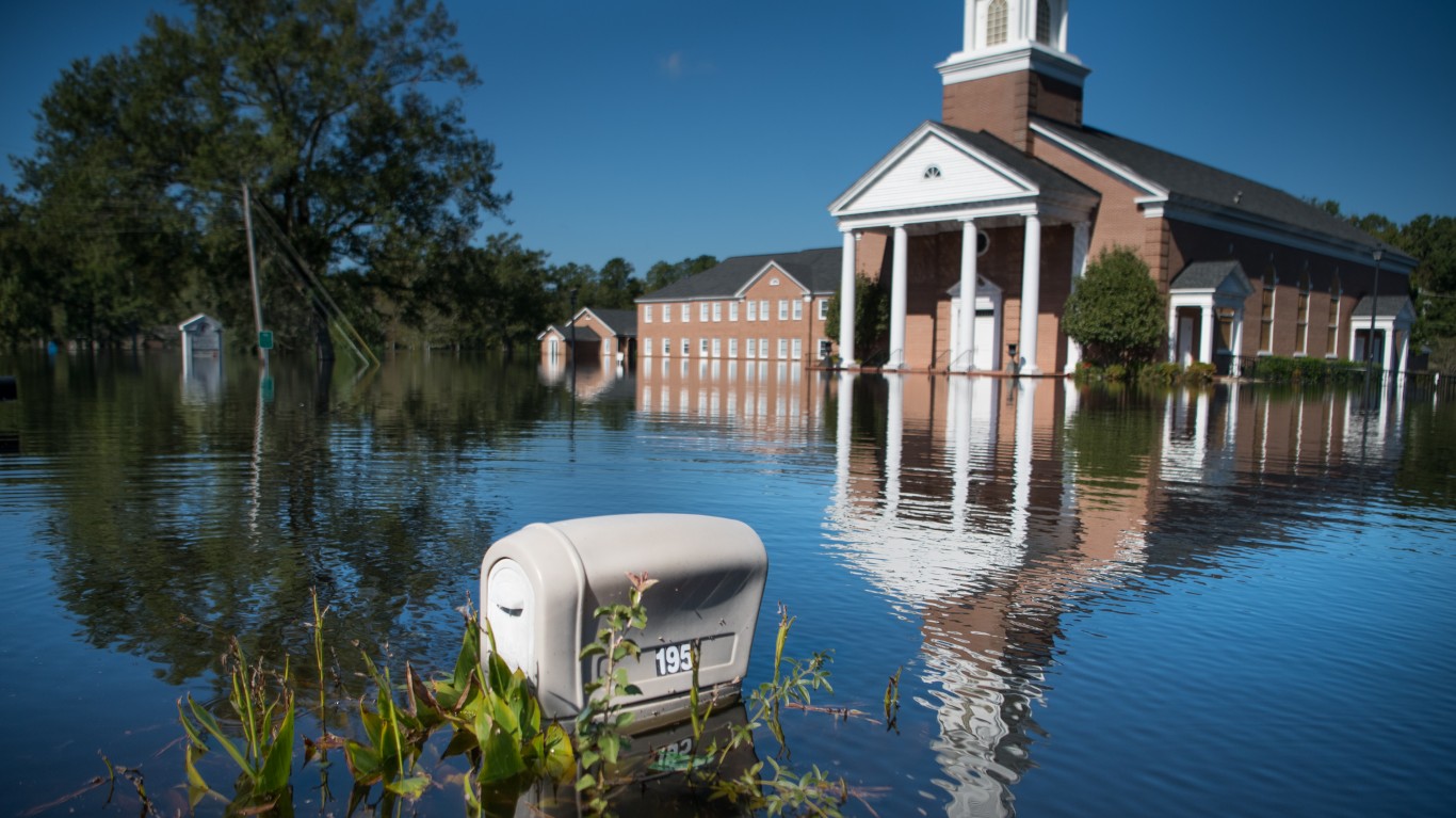
1. Louisiana
> Pct. state designated Flood Hazard Area, EPA 2020: 41.7% (21,844 sq. mi.)
> County with highest coastline flood risk index score: Jefferson (34.2/100 – Relatively Moderate)
> County with highest riverine flood risk index score: East Baton Rouge (39.8/100 – Relatively High)
> State population, 2021: 4,624,047
Methodology
To find the states Americans should leave because of high flood risks, 24/7 Wall St. calculated the area of each state designated EPA Flood Hazard Area – areas that have a 1% annual chance of coastal or riverine flooding – as of 2020. The area and percent of each county designated Flood Hazard Area came from the Centers for Disease Control and Prevention National Environmental Public Health Tracking Network. Total state area data came from the Census Bureau and is as of 2010. We divided each state’s total flood zone area in square miles by total state area to find the overall percentage of a state area designated flood hazard area.
From FEMA’s National Risk Index, we found each county’s coastline and riverine flood risk index score and rating to list the county with the highest risk in each state.
Sponsored: Attention Savvy Investors: Speak to 3 Financial Experts – FREE
Ever wanted an extra set of eyes on an investment you’re considering? Now you can speak with up to 3 financial experts in your area for FREE. By simply
clicking here you can begin to match with financial professionals who can help guide you through the financial decisions you’re making. And the best part? The first conversation with them is free.
Click here to match with up to 3 financial pros who would be excited to help you make financial decisions.
Thank you for reading! Have some feedback for us?
Contact the 24/7 Wall St. editorial team.
Editors' Picks