Every decade since the inaugural census in 1790, the Census Bureau has conducted a fascinating calculation known as the “center of population” for the United States. This point represents the hypothetical location where, on an imaginary, flat, weightless, and rigid map of the U.S., the country would perfectly balance if everyone had identical weight – essentially, the average residence of Americans. Currently, this point resides near Hartville, Missouri, situated approximately 15 miles from the town itself.
The Census Bureau collaborates with the National Oceanic and Atmospheric Administration’s National Geodetic Survey (NGS), renowned for its precise measurements of latitude, longitude, and elevation, to officially mark this center of population with a survey monument.
This intriguing demographic center has shifted progressively westward since the inaugural Census in 1790, mirroring the nation’s growth and migration patterns. Initially located in Kent County, Maryland, near Baltimore, it has gradually journeyed to its current position in Missouri since 1980. (These are the states where the population has grown the most since 1880.)
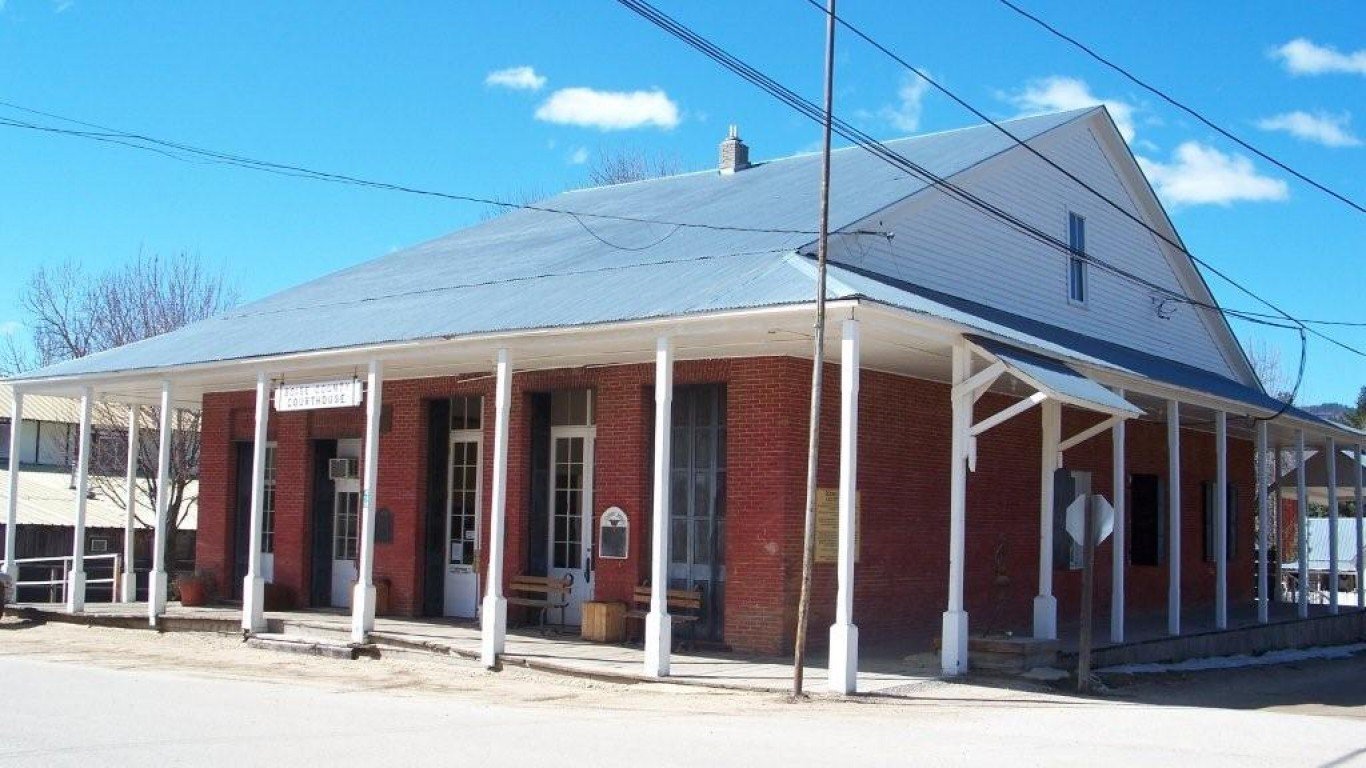
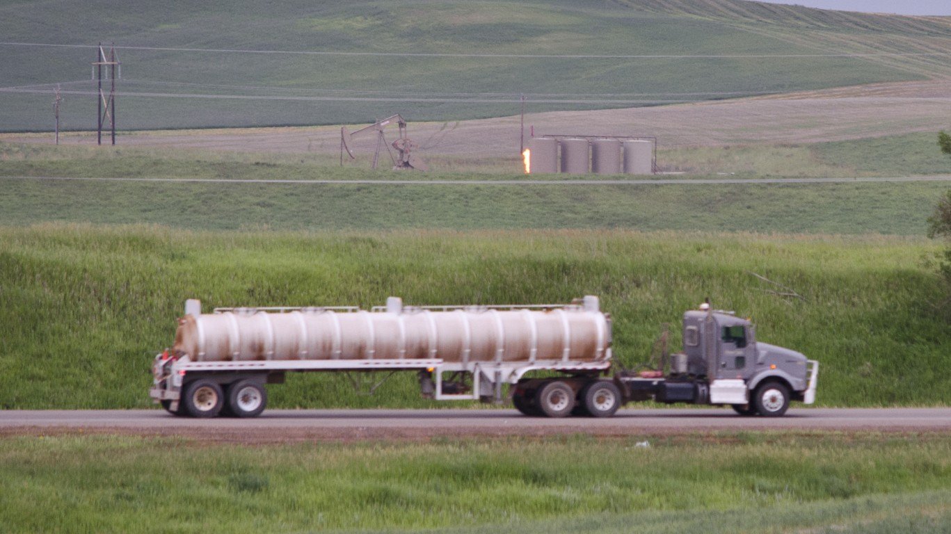
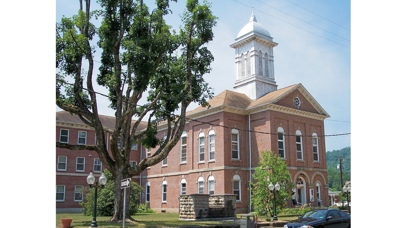
Hartville, the town closest to this center, boasts a population of 547 residents within its 0.7 square miles. It’s predominantly inhabited by a white population, constituting about 96%. The town is poor, with a poverty rate of 30.5%, compared to a U.S. average of about 11%. Median household income is $22,000, while the national figure is over $68,000. (See what income level is considered middle class in your state.)
Additionally, the Census Bureau calculates the population center for each state using the same principles. It’s important to note that the population center of Missouri is not Hartville but rather Saint Thomas, situated about 80 miles to the northeast.
Click here to see the population center of every state

Alabama
> Center of population coordinates: 33°01’N, 86°45’W
> Location of center of population: Chilton County
> Nearest place to center of population: Jemison (3.3 miles away)
[in-text-ad]
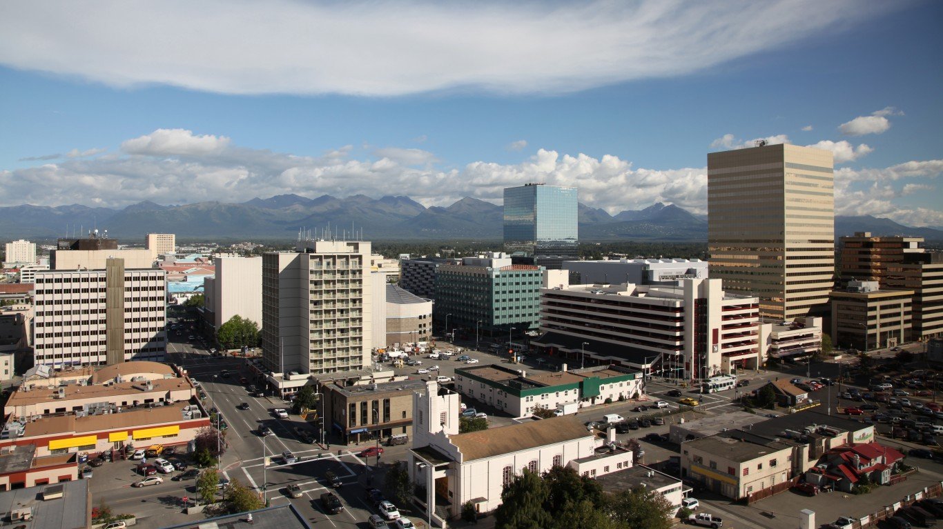
Alaska
> Center of population coordinates: 61°25’N, 148°58’W
> Location of center of population: Anchorage Municipality
> Nearest place to center of population: Knik River (4.0 miles away)
[recirclink id=1023752]

Arizona
> Center of population coordinates: 33°22’N, 111°53’W
> Location of center of population: Maricopa County
> Nearest place to center of population: Tempe (3.1 miles away)
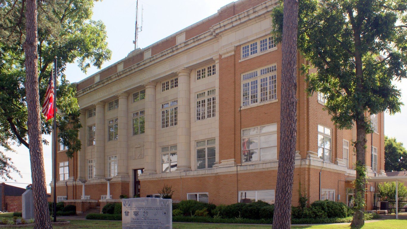
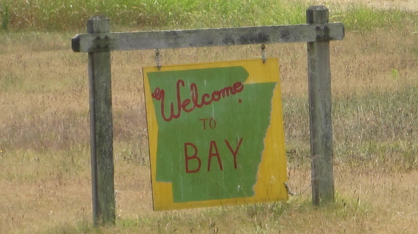
Arkansas
> Center of population coordinates: 35°12’N, 92°43’W
> Location of center of population: Conway County
> Nearest place to center of population: Morrilton (3.4 miles away)
[in-text-ad-2]
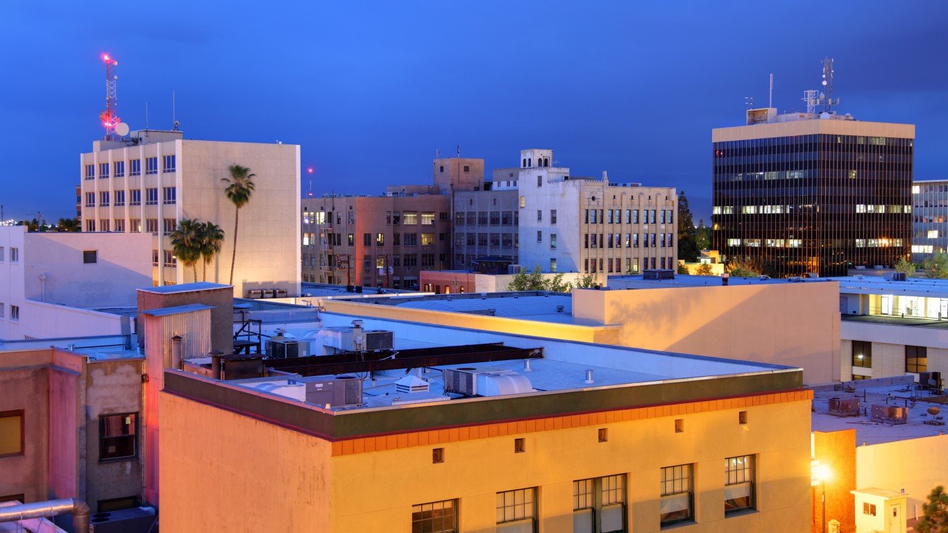
California
> Center of population coordinates: 35°29’N, 119°21’W
> Location of center of population: Kern County
> Nearest place to center of population: Smith Corner (4.1 miles away)

Colorado
> Center of population coordinates: 39°32’N, 105°11’W
> Location of center of population: Jefferson County
> Nearest place to center of population: Ken Caryl (4.8 miles away)
[in-text-ad]

Connecticut
> Center of population coordinates: 41°30’N, 72°53’W
> Location of center of population: New Haven County
> Nearest place to center of population: Cheshire Village (1.2 miles away)
[recirclink id=1020766]

Delaware
> Center of population coordinates: 39°20’N, 75°33’W
> Location of center of population: Kent County
> Nearest place to center of population: Smyrna (4.3 miles away)

Florida
> Center of population coordinates: 27°50’N, 81°38’W
> Location of center of population: Polk County
> Nearest place to center of population: Alturas (2.8 miles away)
[in-text-ad-2]
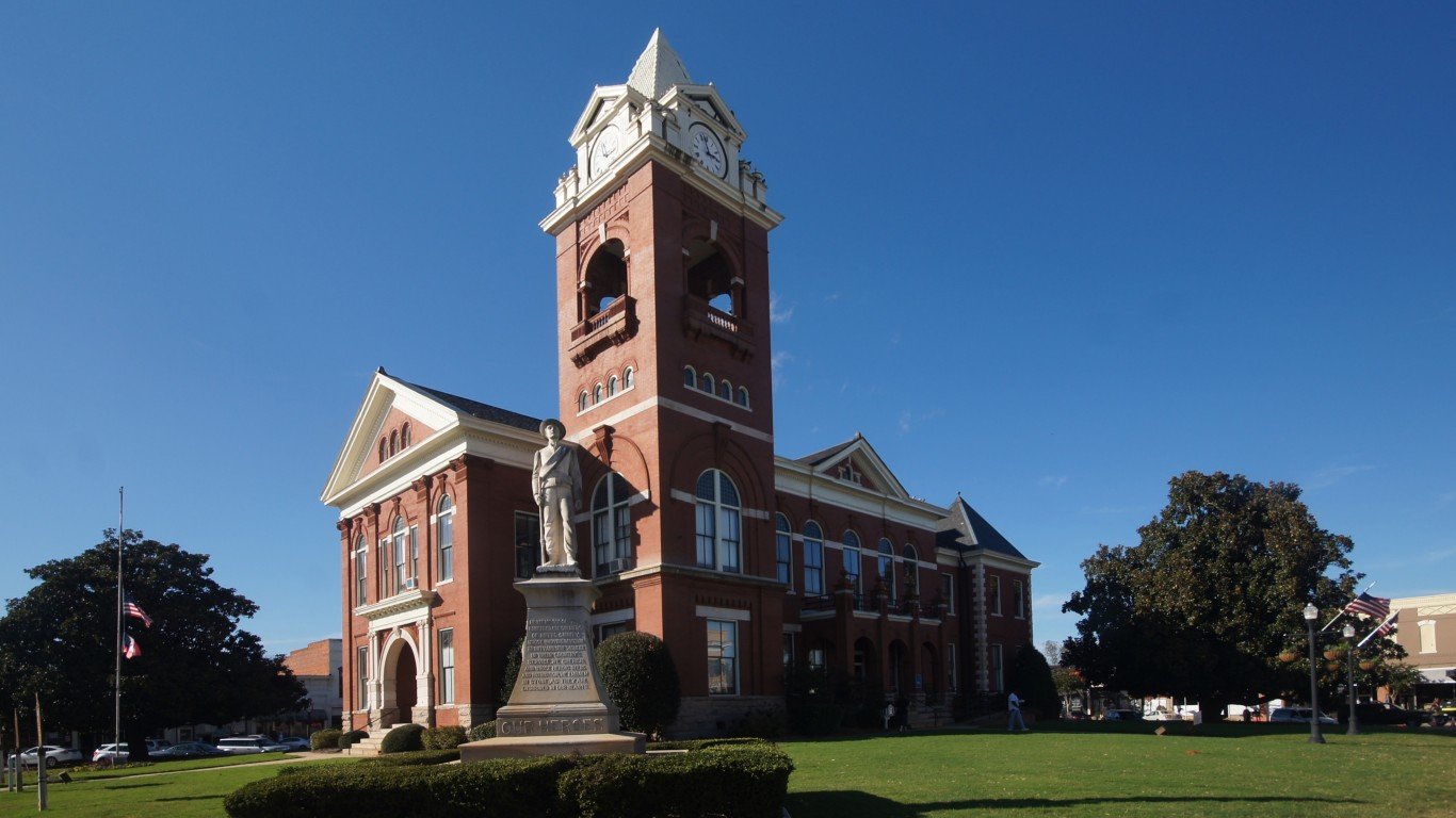
Georgia
> Center of population coordinates: 33°25’N, 83°53’W
> Location of center of population: Newton County
> Nearest place to center of population: Jackson (9.3 miles away)
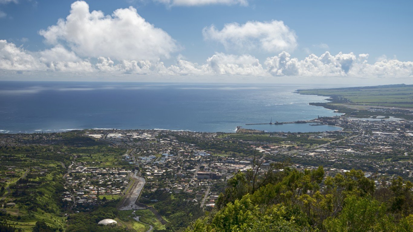
Hawaii
> Center of population coordinates: 21°07’N, 157°29’W
> Location of center of population: .
> Nearest place to center of population: Maunaloa (17.7 miles away)
[in-text-ad]
Idaho
> Center of population coordinates: 44°13’N, 115°13’W
> Location of center of population: Boise County
> Nearest place to center of population: Stanley (14.4 miles away)
[recirclink id=989112]
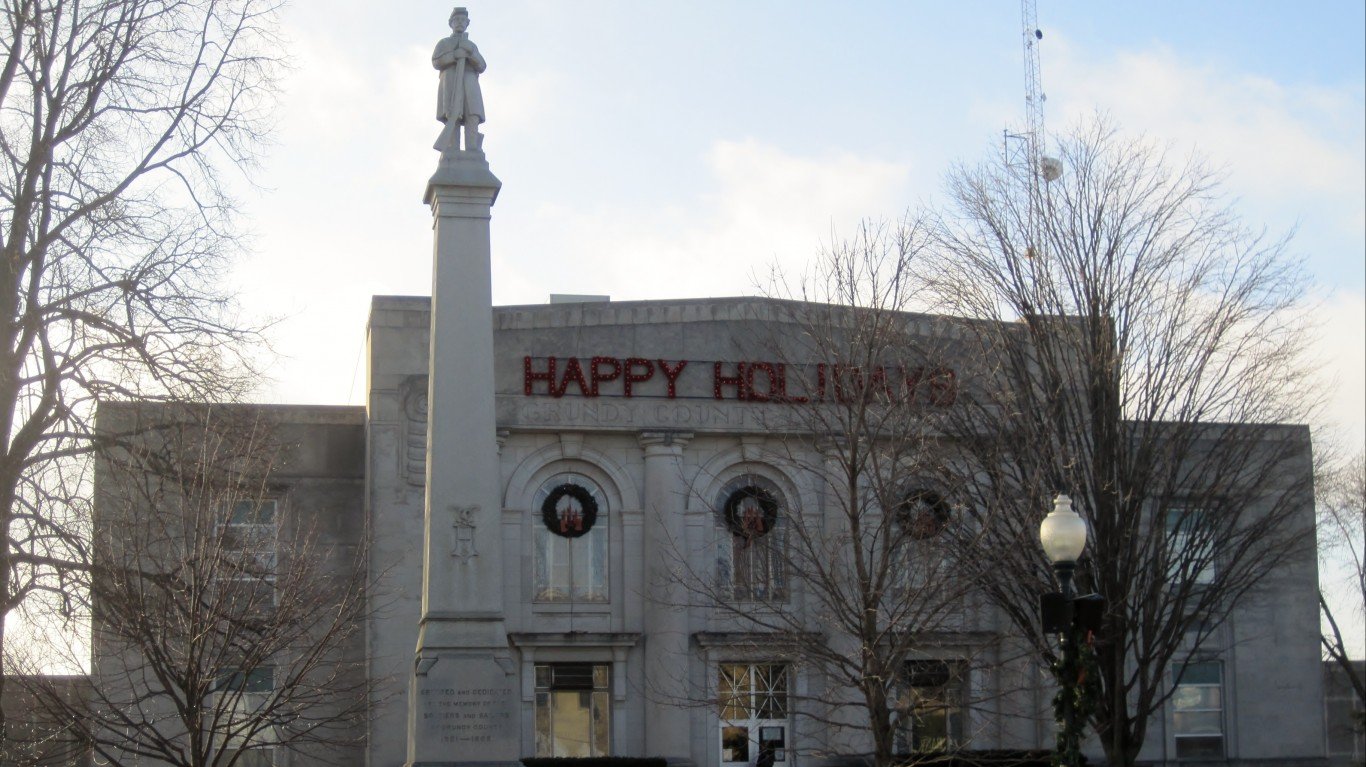
Illinois
> Center of population coordinates: 41°19’N, 88°22’W
> Location of center of population: Grundy County
> Nearest place to center of population: Carbon Hill (3.9 miles away)
Indiana
> Center of population coordinates: 40°09’N, 86°15’W
> Location of center of population: Boone County
> Nearest place to center of population: Sheridan (1.9 miles away)
[in-text-ad-2]
Iowa
> Center of population coordinates: 41°56’N, 93°02’W
> Location of center of population: Marshall County
> Nearest place to center of population: Melbourne (3.4 miles away)
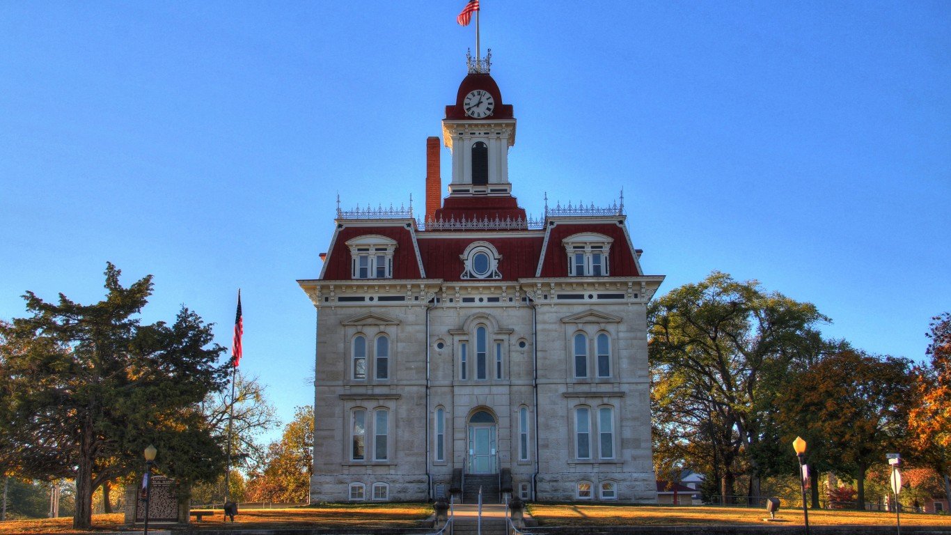
Kansas
> Center of population coordinates: 38°29’N, 96°25’W
> Location of center of population: Chase County
> Nearest place to center of population: Dunlap (7.0 miles away)
[in-text-ad]
Kentucky
> Center of population coordinates: 37°50’N, 85°16’W
> Location of center of population: Washington County
> Nearest place to center of population: Chaplin (4.7 miles away)
[recirclink id=910462]
Louisiana
> Center of population coordinates: 30°42’N, 91°28’W
> Location of center of population: Pointe Coupee Parish
> Nearest place to center of population: New Roads (1.2 miles away)

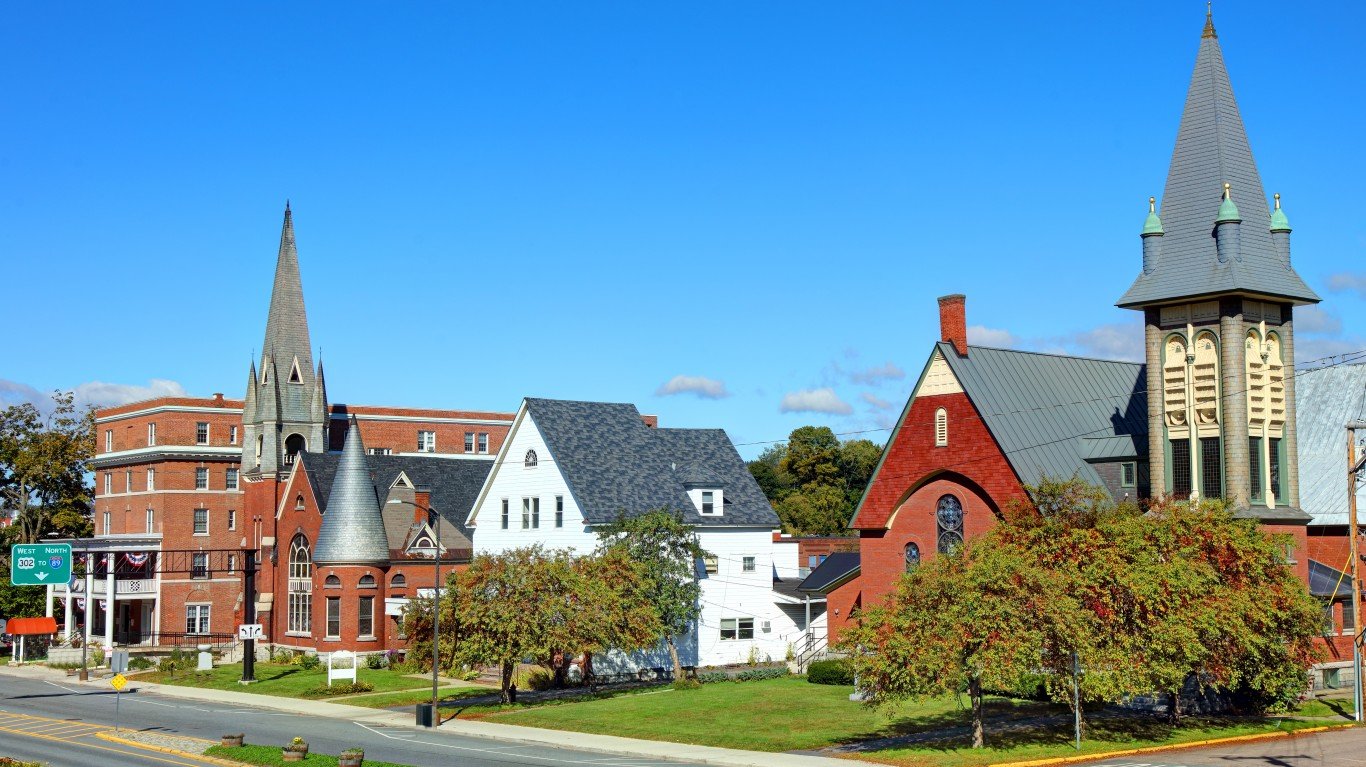
Maine
> Center of population coordinates: 44°16’N, 69°46’W
> Location of center of population: Kennebec County
> Nearest place to center of population: Farmingdale (1.5 miles away)
[in-text-ad-2]
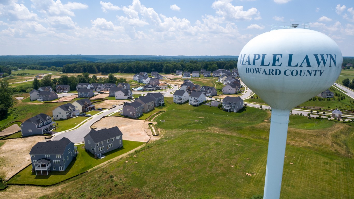
Maryland
> Center of population coordinates: 39°08’N, 76°48’W
> Location of center of population: Howard County
> Nearest place to center of population: Savage (1.2 miles away)

Massachusetts
> Center of population coordinates: 42°16’N, 71°21’W
> Location of center of population: Middlesex County
> Nearest place to center of population: Cochituate (3.7 miles away)
[in-text-ad]
Michigan
> Center of population coordinates: 42°52’N, 84°13’W
> Location of center of population: Shiawassee County
> Nearest place to center of population: Morrice (2.5 miles away)
[recirclink id=827531]

Minnesota
> Center of population coordinates: 45°11’N, 93°34’W
> Location of center of population: Hennepin County
> Nearest place to center of population: Rogers (0.8 miles away)
Mississippi
> Center of population coordinates: 32°35’N, 89°34’W
> Location of center of population: Scott County
> Nearest place to center of population: Lena (2.1 miles away)
[in-text-ad-2]
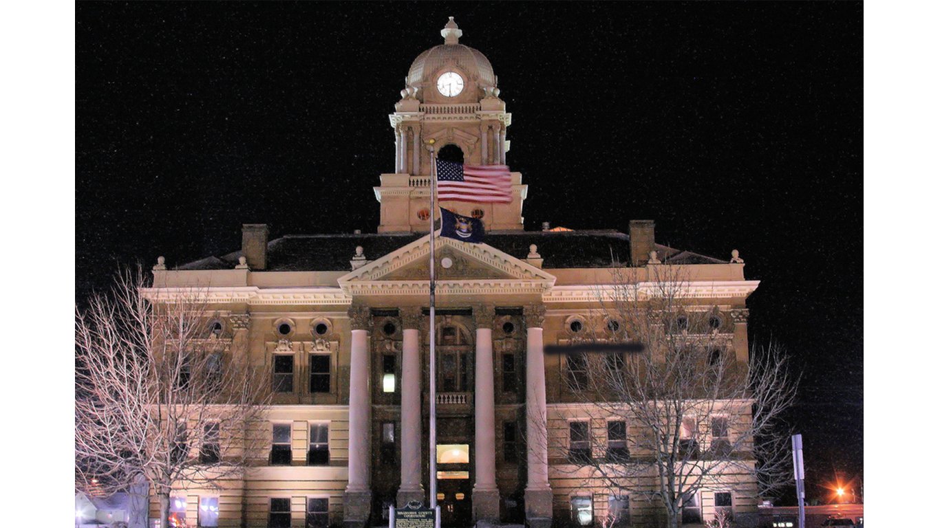
Missouri
> Center of population coordinates: 38°26’N, 92°14’W
> Location of center of population: Cole County
> Nearest place to center of population: St. Thomas (4.7 miles away)
Montana
> Center of population coordinates: 46°46’N, 111°19’W
> Location of center of population: Meagher County
> Nearest place to center of population: York (20.8 miles away)
[in-text-ad]
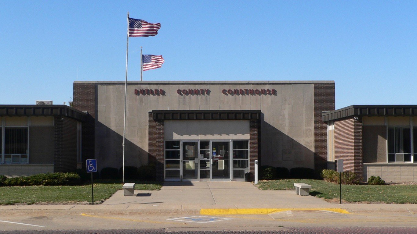
Nebraska
> Center of population coordinates: 41°10’N, 97°13’W
> Location of center of population: Butler County
> Nearest place to center of population: Garrison (3.1 miles away)
[recirclink id=1023752]
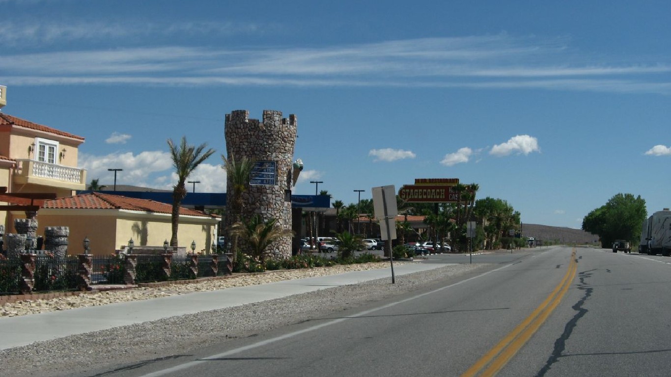
Nevada
> Center of population coordinates: 37°01’N, 116°10’W
> Location of center of population: Nye County
> Nearest place to center of population: Beatty (30.4 miles away)

New Hampshire
> Center of population coordinates: 43°09’N, 71°27’W
> Location of center of population: Merrimack County
> Nearest place to center of population: Suncook (1.0 miles away)
[in-text-ad-2]

New Jersey
> Center of population coordinates: 40°26’N, 74°25’W
> Location of center of population: Middlesex County
> Nearest place to center of population: Milltown (1.0 miles away)
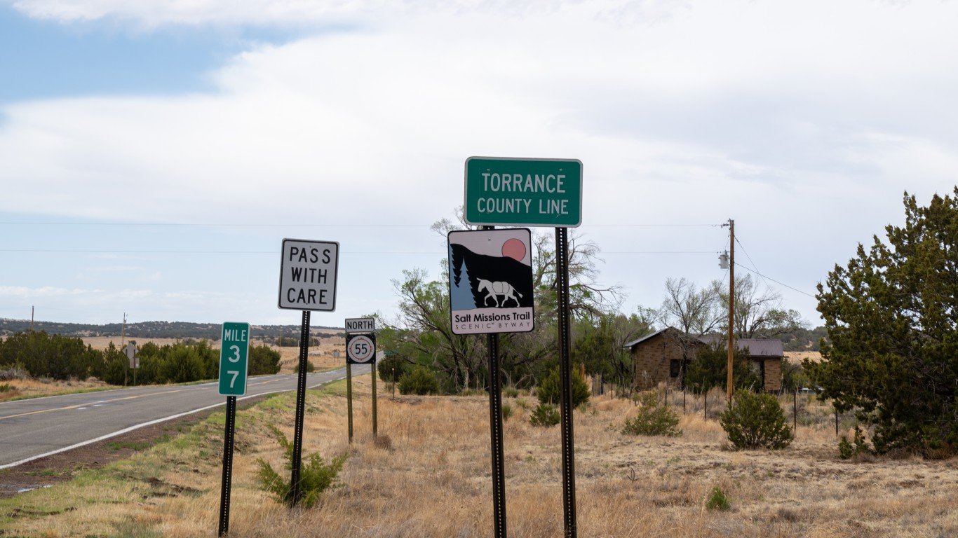
New Mexico
> Center of population coordinates: 34°36’N, 106°20’W
> Location of center of population: Torrance County
> Nearest place to center of population: Punta de Agua (2.3 miles away)
[in-text-ad]
New York
> Center of population coordinates: 41°28’N, 74°35’W
> Location of center of population: Orange County
> Nearest place to center of population: Otisville (2.7 miles away)
[recirclink id=1020766]

North Carolina
> Center of population coordinates: 35°32’N, 79°41’W
> Location of center of population: Randolph County
> Nearest place to center of population: Seagrove (6.0 miles away)
North Dakota
> Center of population coordinates: 47°20’N, 99°27’W
> Location of center of population: Wells County
> Nearest place to center of population: Sykeston (9.0 miles away)
[in-text-ad-2]

Ohio
> Center of population coordinates: 40°26’N, 82°48’W
> Location of center of population: Morrow County
> Nearest place to center of population: Fulton (2.4 miles away)
Oklahoma
> Center of population coordinates: 35°36’N, 96°51’W
> Location of center of population: Lincoln County
> Nearest place to center of population: Sparks (2.0 miles away)
[in-text-ad]

Oregon
> Center of population coordinates: 44°45’N, 122°35’W
> Location of center of population: Linn County
> Nearest place to center of population: Lyons (2.1 miles away)
[recirclink id=989112]
Pennsylvania
> Center of population coordinates: 40°27’N, 76°58’W
> Location of center of population: Dauphin County
> Nearest place to center of population: New Buffalo (0.8 miles away)

Rhode Island
> Center of population coordinates: 41°45’N, 71°27’W
> Location of center of population: Providence County
> Nearest place to center of population: Cranston (2.0 miles away)
[in-text-ad-2]

South Carolina
> Center of population coordinates: 34°01’N, 80°60’W
> Location of center of population: Richland County
> Nearest place to center of population: Forest Acres (1.5 miles away)
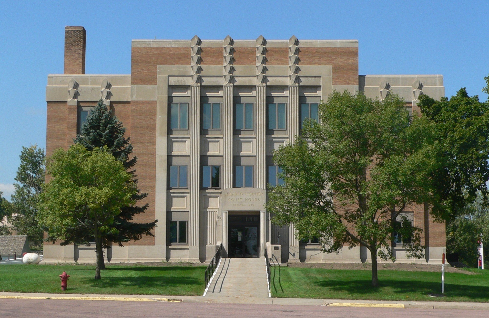
South Dakota
> Center of population coordinates: 43°59’N, 98°55’W
> Location of center of population: Jerauld County
> Nearest place to center of population: Spring Valley Colony (4.2 miles away)
[in-text-ad]

Tennessee
> Center of population coordinates: 35°49’N, 86°20’W
> Location of center of population: Rutherford County
> Nearest place to center of population: Murfreesboro (5.5 miles away)
[recirclink id=910462]

Texas
> Center of population coordinates: 30°55’N, 97°20’W
> Location of center of population: Bell County
> Nearest place to center of population: Holland (4.6 miles away)

Utah
> Center of population coordinates: 40°23’N, 111°57’W
> Location of center of population: Utah County
> Nearest place to center of population: Saratoga Springs (3.3 miles away)
[in-text-ad-2]
Vermont
> Center of population coordinates: 44°06’N, 72°49’W
> Location of center of population: Washington County
> Nearest place to center of population: Waitsfield (5.6 miles away)

Virginia
> Center of population coordinates: 37°51’N, 77°46’W
> Location of center of population: Louisa County
> Nearest place to center of population: Goochland (12.7 miles away)
[in-text-ad]

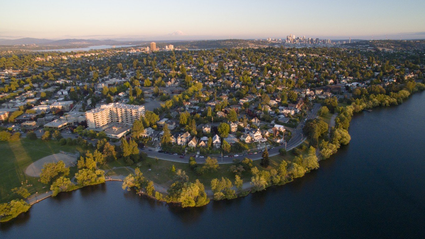
Washington
> Center of population coordinates: 47°20’N, 121°38’W
> Location of center of population: King County
> Nearest place to center of population: Wilderness Rim (10.3 miles away)
[recirclink id=827531]
West Virginia
> Center of population coordinates: 38°49’N, 80°40’W
> Location of center of population: Braxton County
> Nearest place to center of population: Burnsville (2.4 miles away)
Wisconsin
> Center of population coordinates: 43°43’N, 89°02’W
> Location of center of population: Green Lake County
> Nearest place to center of population: Markesan (2.2 miles away)
[in-text-ad-2]

Wyoming
> Center of population coordinates: 42°42’N, 106°59’W
> Location of center of population: Natrona County
> Nearest place to center of population: Alcova (16.3 miles away)
Contact [email protected] for any questions or corrections.