[cnxvideo id=”655235″ placement=”ros”]
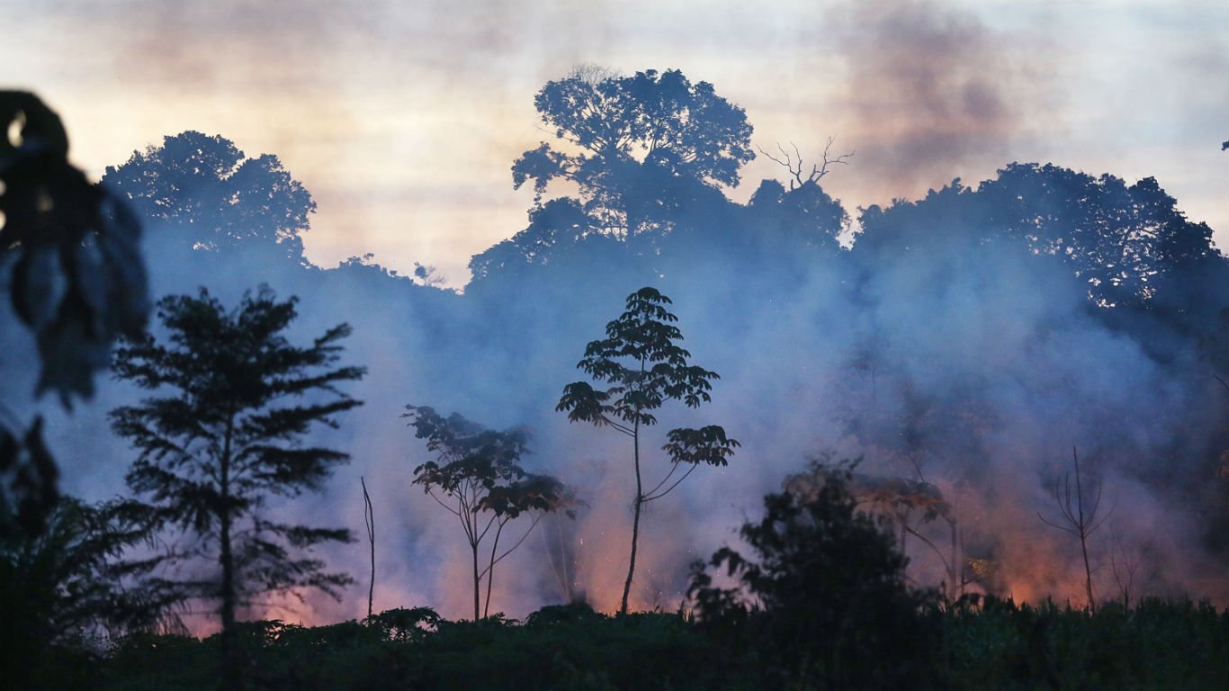
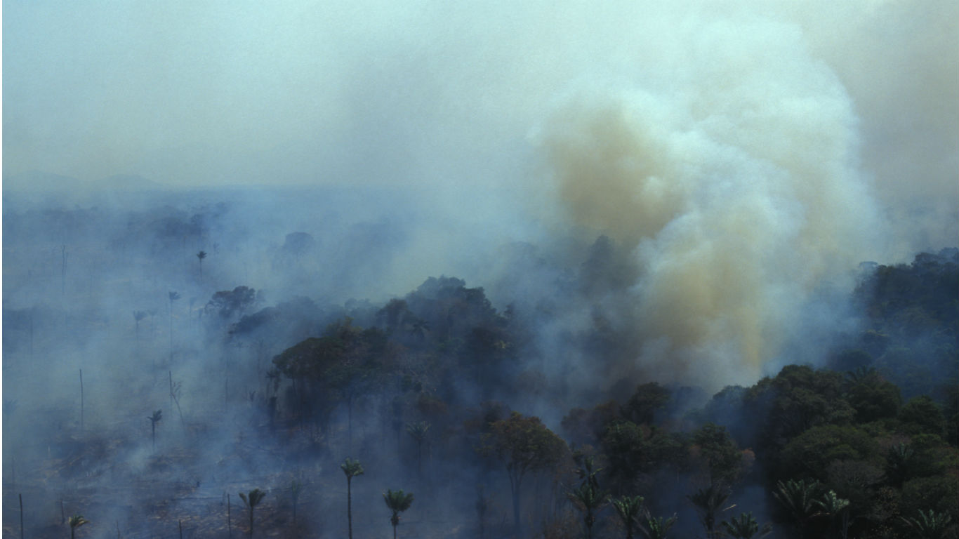
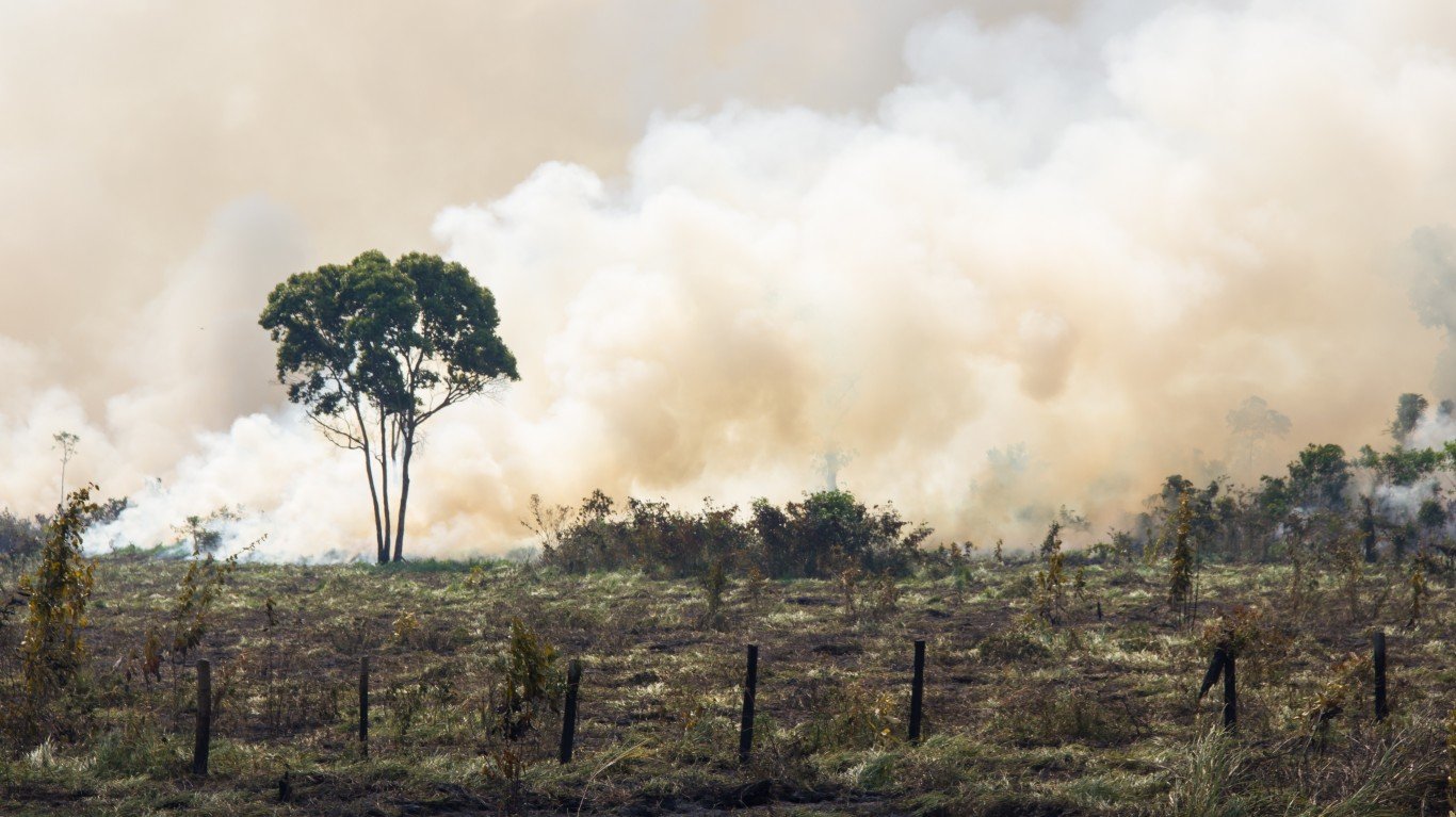
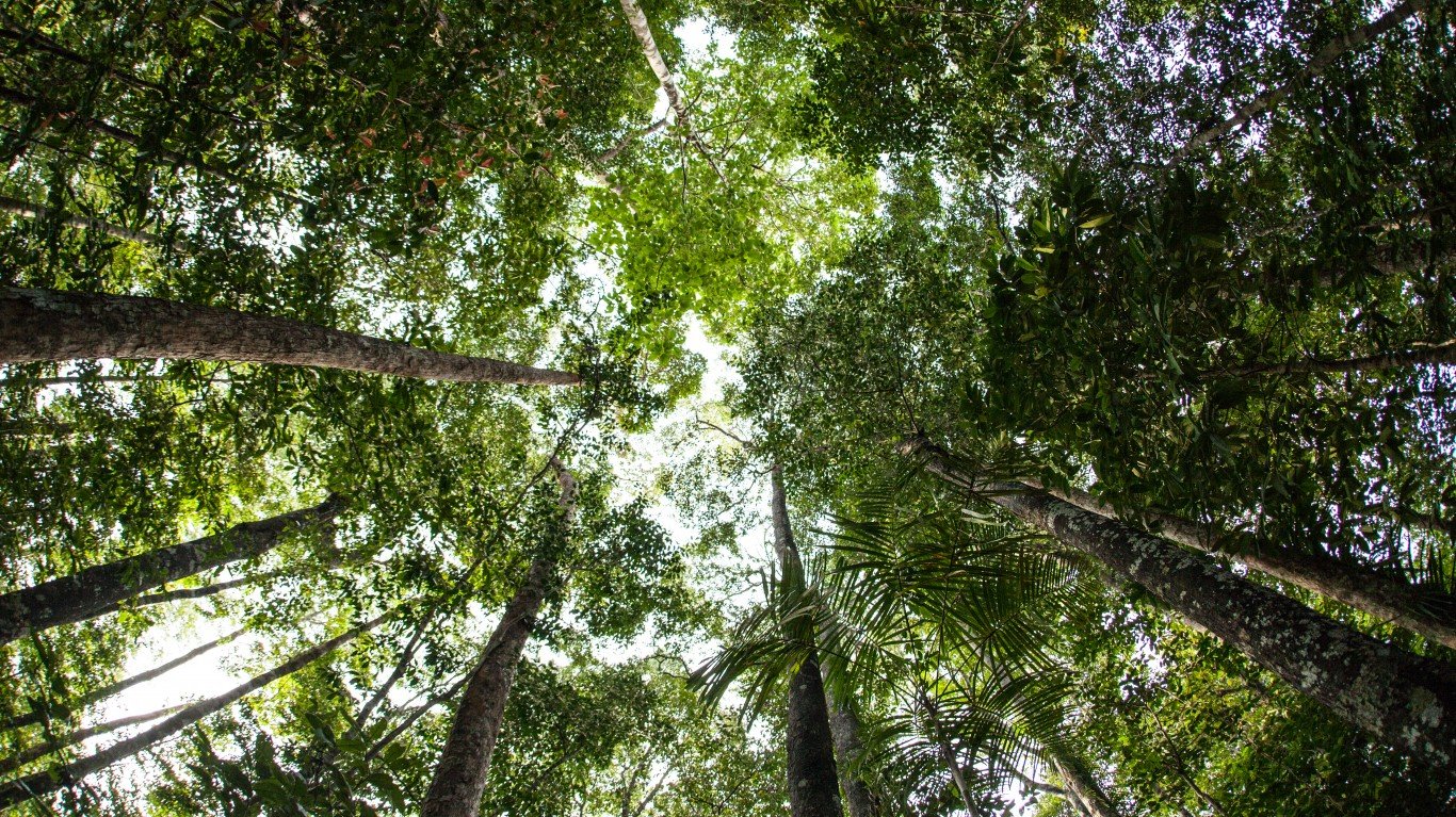
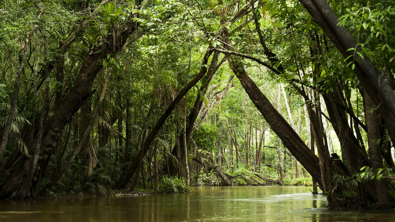
The Amazon rainforest continues to burn, threatening the habitat of the millions of species found there and putting one of the world’s most important carbon sinks at risk. So far this year, there have been more than 80,000 fires in the Amazon, the largest rainforest on Earth. Well over 4 million acres — roughly the size of New Jersey — have burned already this year.
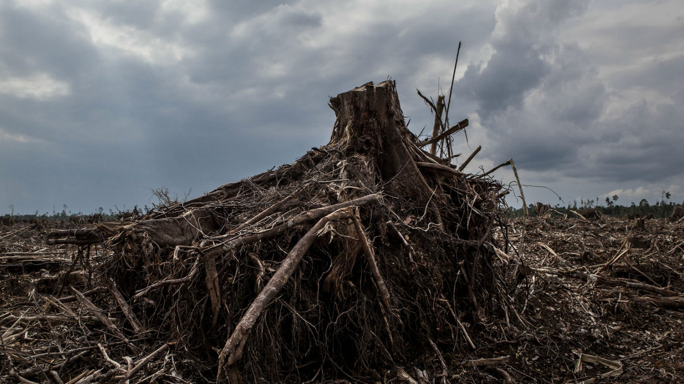
The damage done to the Amazon is only the latest in the tragic ongoing destruction — wrought primarily by mankind — of the largest rainforest in the world. Logging, cattle ranching, and other forms of farming have led to large-scale deforestation.
Nearly 20% of the rainforest as it existed in 1970 is now gone, and hundreds of thousands of square miles more are expected to vanish in the coming years as these factors and global climate change further erode the natural wonder. There is great concern that the rainforest has reached or will soon reach a tipping point and that even if human-driven deforestation ceases, the remaining rainforest will transition to a drier biome.
24/7 Wall St. reviewed the World Wildlife Fund’s Living Forests report, which identifies 11 forest regions around the world, including the Amazon, where thousands of square miles have been lost and where the WWF projects significant loss between 2010 and 2030. Some of these regions contain the largest rainforests on Earth, as well as other important, highly diverse forest regions. The WWF projects that these 11 forests alone could lose as much as 650,000 square miles of forest land between 2010 and 2030 — roughly the size of the state of Alaska.
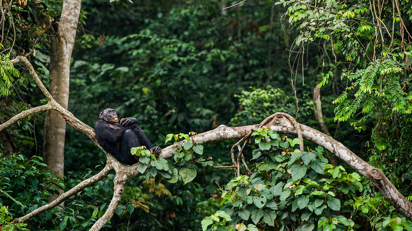
The loss of these forests could have wide-ranging consequences, including the acceleration of global climate change, loss of water and food supply, and loss of tourism dollars. At stake is also the habitat of millions of species. The loss of habitat could lead to the potential extinction of millions of animals and plants, many of which are already endangered. These are species we may have lost in the last few years alone.
Click here to learn about the forests at greatest risk of extinction.
1. Choco-Darien
> Projected deforestation (2010-2030): 11,600 square miles
> Recent deforestation: n/a
> Location: Colombia, Ecuador, Panama
> Primary cause: Mining, infrastructure, agriculture
[in-text-ad]
2. Eastern Australia
> Projected deforestation (2010-2030): up to 23,200 square miles
> Recent deforestation: n/a
> Location: New South Wales, Queensland
> Primary cause: Pasture for livestock
[recirclink id=563477]
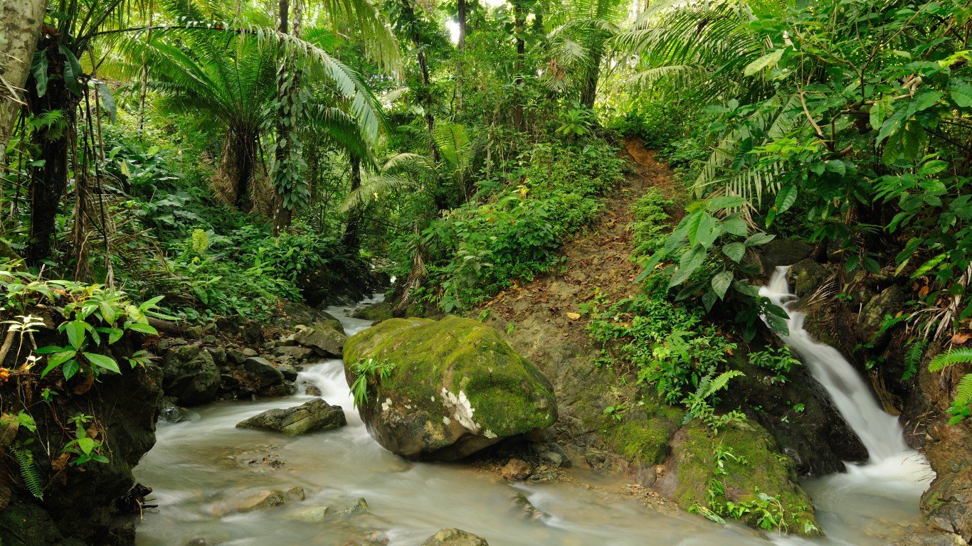
3. Sumatra
> Projected deforestation (2010-2030): 19,000 square miles
> Recent deforestation: 54,000 square miles (1985-2014)
> Location: Indonesia
> Primary cause: Small-scale agriculture, infrastructure development
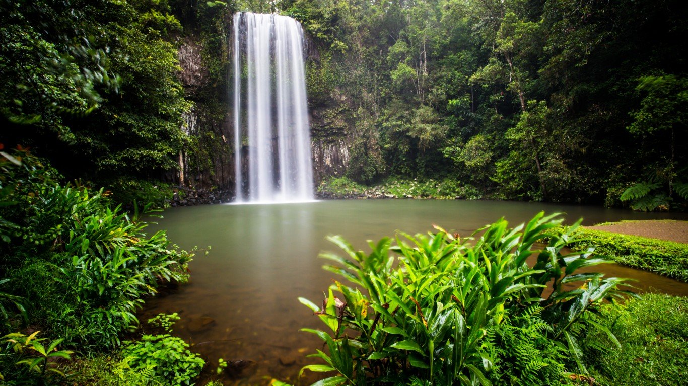
4. New Guinea
> Projected deforestation (2010-2030): 27,000 square miles
> Recent deforestation: 3,800 square miles (2001-2012)
> Location: Papua New Guinea, Indonesia
> Primary cause: Agriculture, clear-fell timber harvesting
[in-text-ad-2]

5. Atlantic Forest/Gran Chaco
> Projected deforestation (2010-2030): 39,000 square miles
> Recent deforestation: n/a
> Location: Argentina, Bolivia, Brazil and Paraguay
> Primary cause: Agriculture, livestock, infrastructure

6. Congo Basin
> Projected deforestation (2010-2030): 46,000 square miles
> Recent deforestation: n/a
> Location: Cameroon, Central African Republic, DRC, Republic of Congo, Gabon
> Primary cause: Small-scale agriculture, fuelwood
[in-text-ad]

7. East Africa
> Projected deforestation (2010-2030): 46,000 square miles
> Recent deforestation: 23,000 square miles (2000-2012)
> Location: Kenya, Malawi, Mozambique, Tanzania, Zambia, Zimbabwe
> Primary cause: Crop and livestock expansion
[recirclink id=503672]
8. Cerrado
> Projected deforestation (2010-2030): 60,000 square miles
> Recent deforestation: n/a
> Location: Brazil, Bolivia
> Primary cause: Conversion to soy plantations, cattle ranching
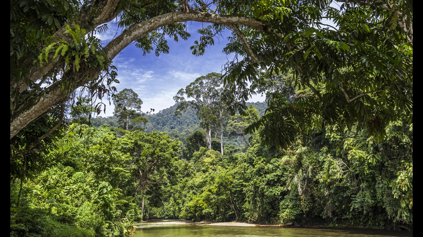
9. Borneo
> Projected deforestation (2010-2030): 85,000 square miles
> Recent deforestation: 22,000 square miles (2003-2008)
> Location: Indonesia, Malaysia, and Brunei
> Primary cause: Conversion for palm oil, unsustainable logging
[in-text-ad-2]
10. Greater Mekong
> Projected deforestation (2010-2030): 60,000 to 185,000 square miles
> Recent deforestation: 189,000 square miles (excluding China) (1973-2009)
> Location: Cambodia, Lao PDR, Myanmar, Thailand, Vietnam
> Primary cause: Crop plantations, agriculture, unsustainable and illegal logging
11. Amazon
> Projected deforestation (2010-2030): 88,000 to 185,000 square miles
> Recent deforestation: 68,000 square miles (2000-2012)
> Location: Brazil, Bolivia, Peru, Ecuador, Colombia, Venezuela, Guyana, Suriname and French Guiana
> Primary cause: Cattle ranching, agriculture
Contact [email protected] for any questions or corrections.