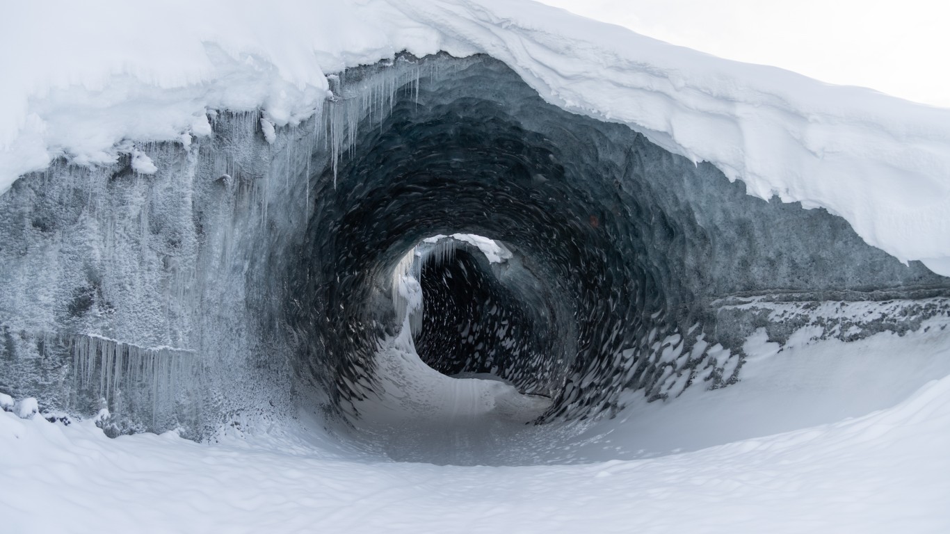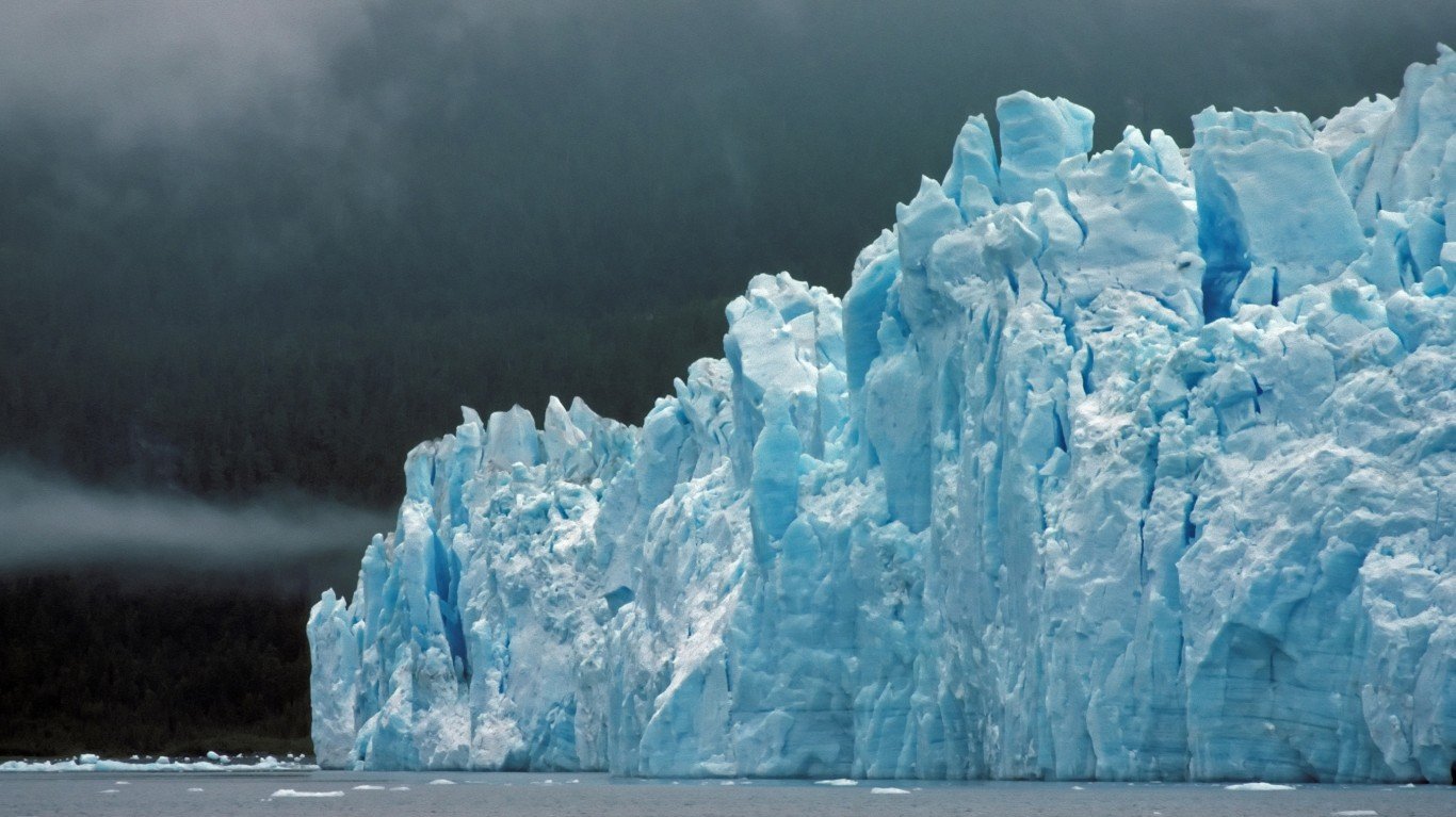
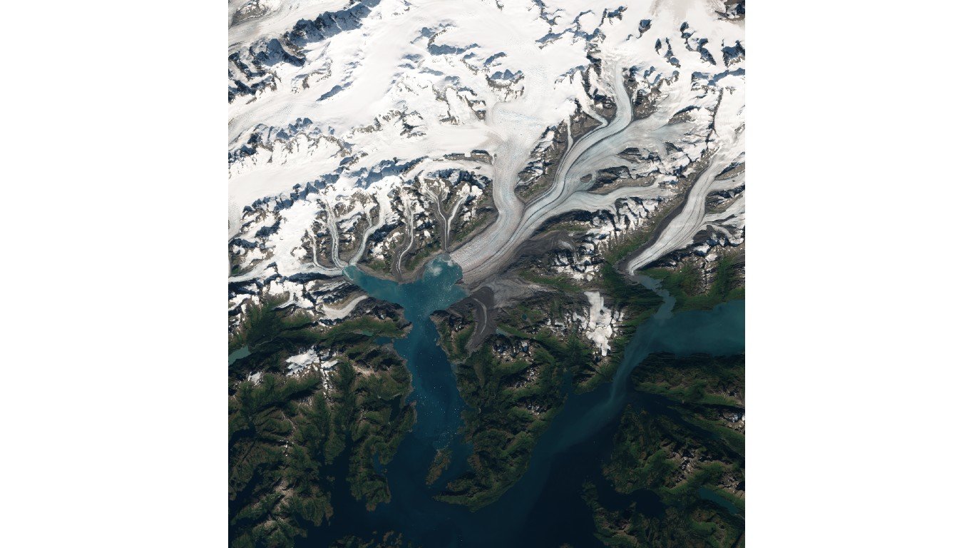
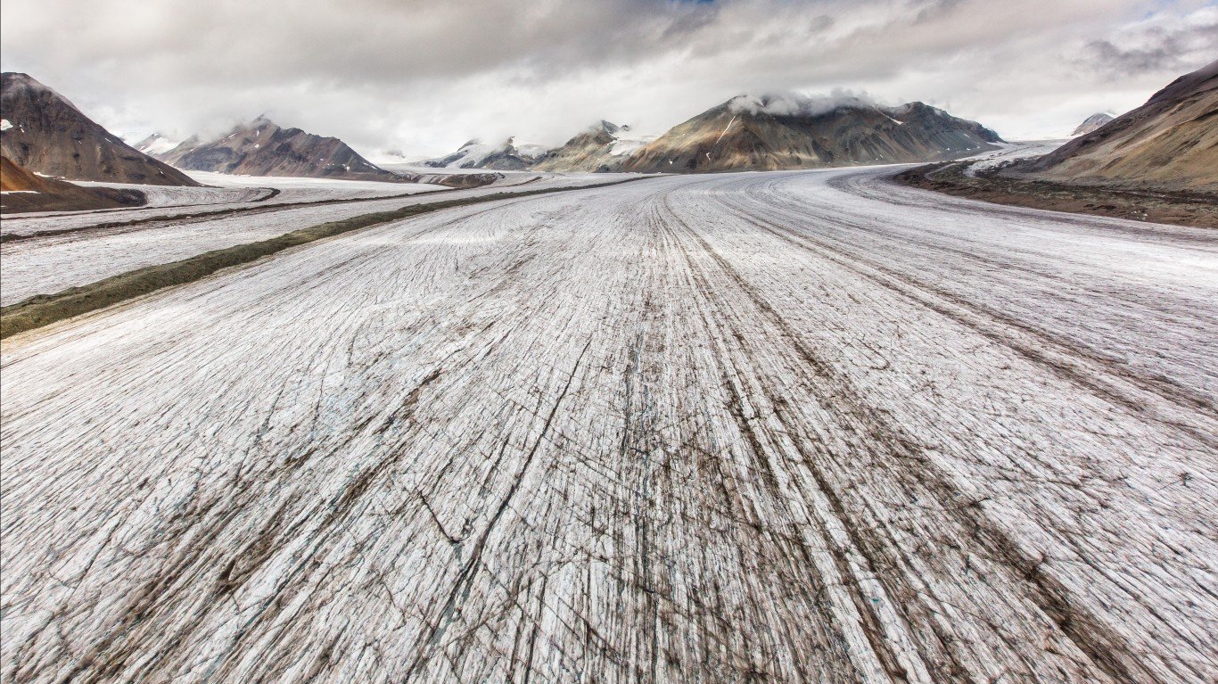
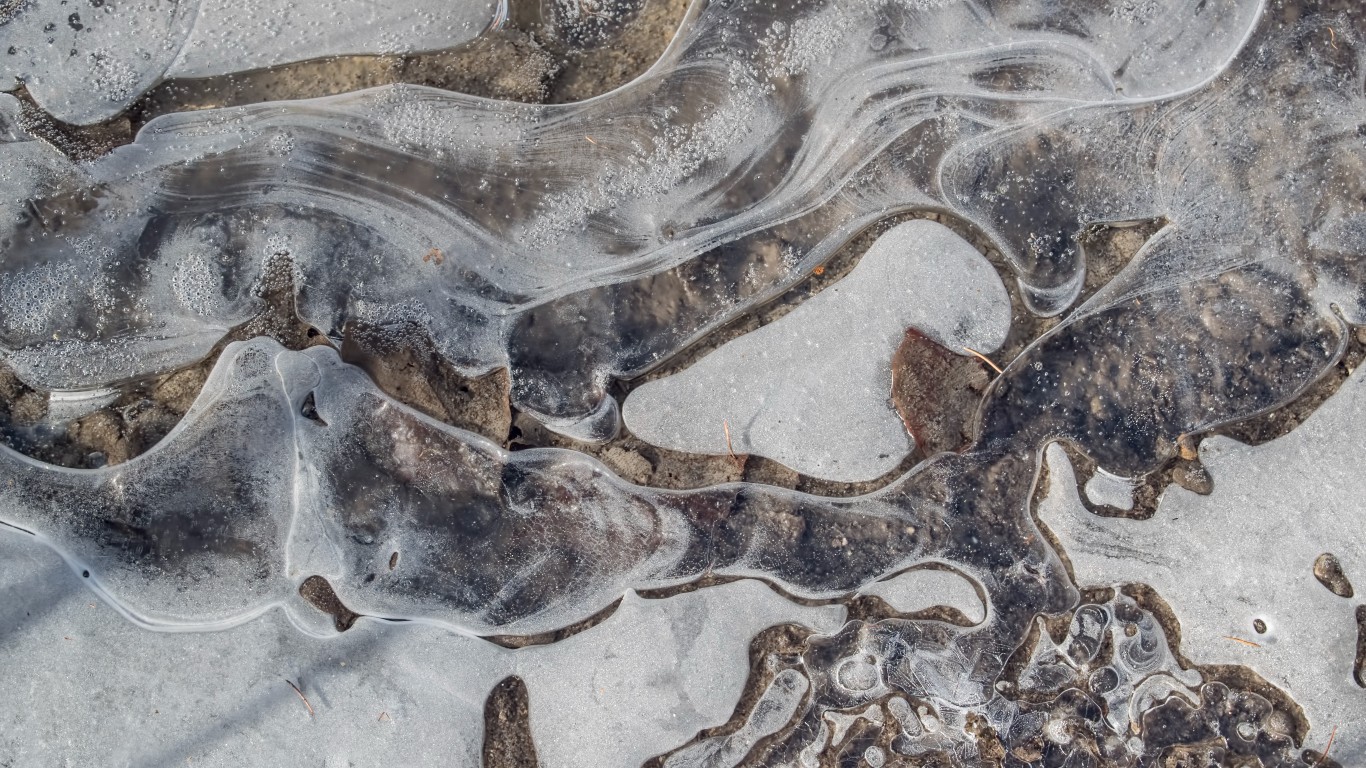
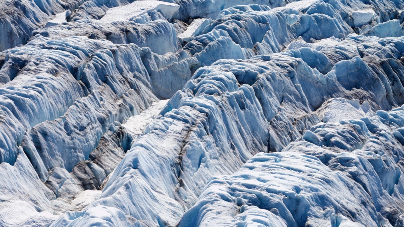
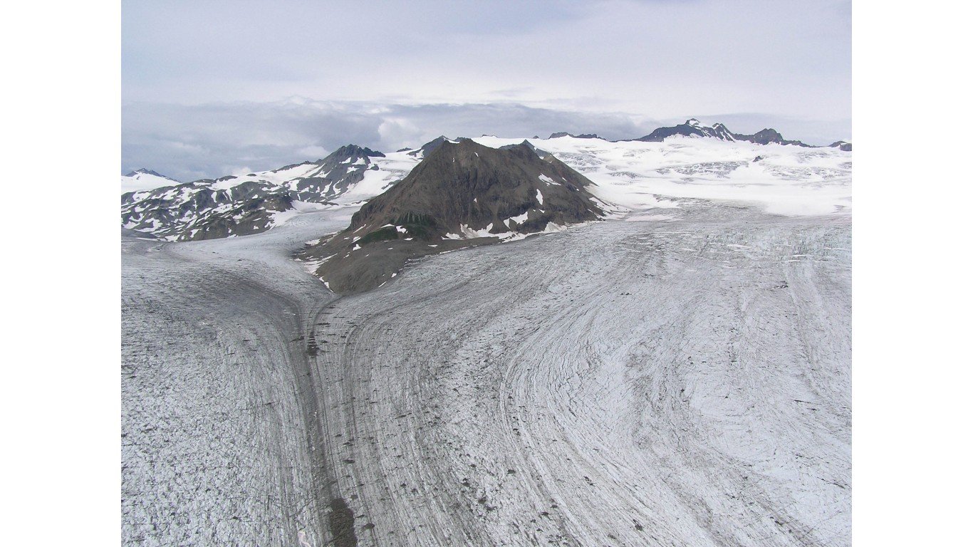
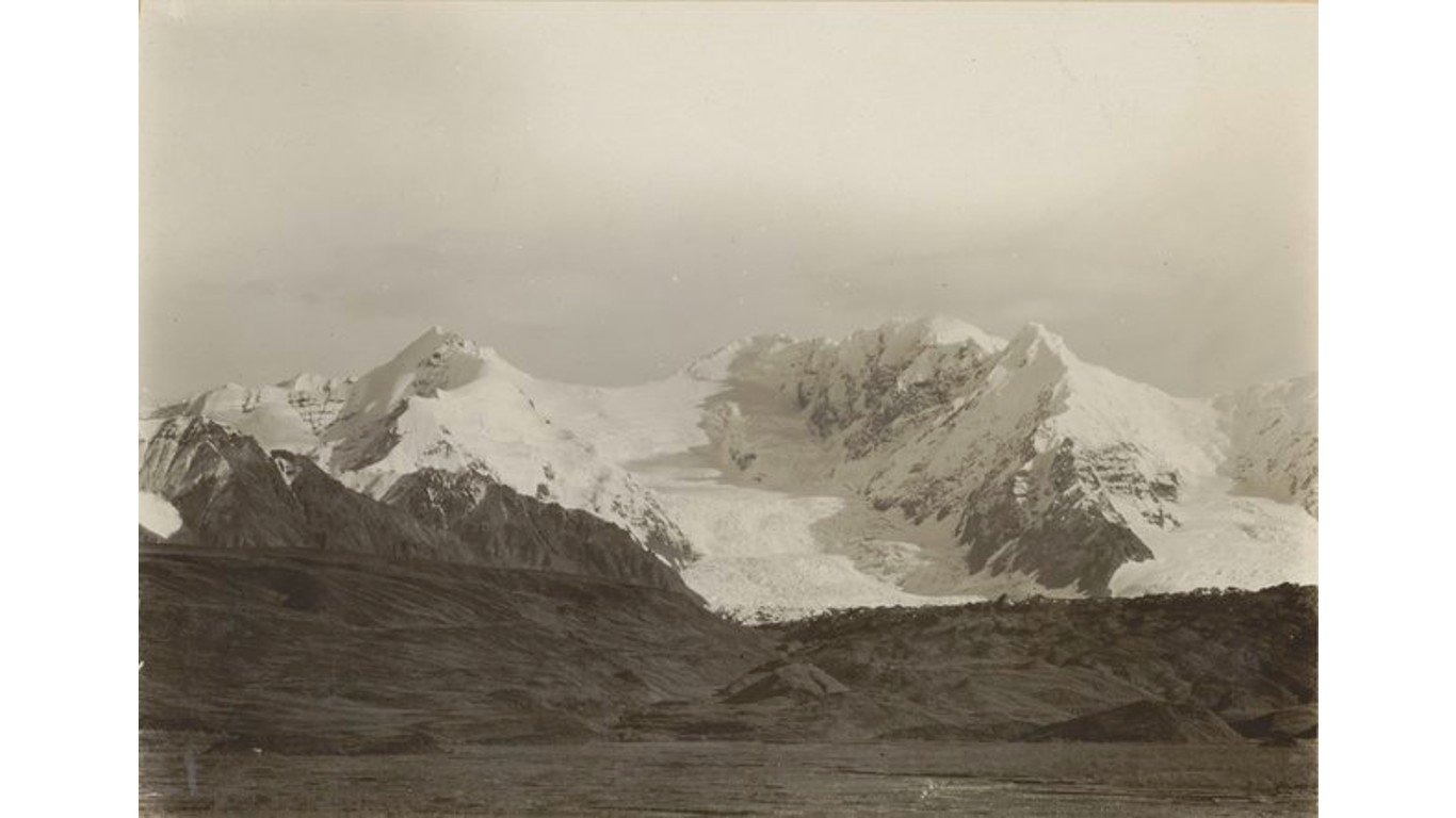
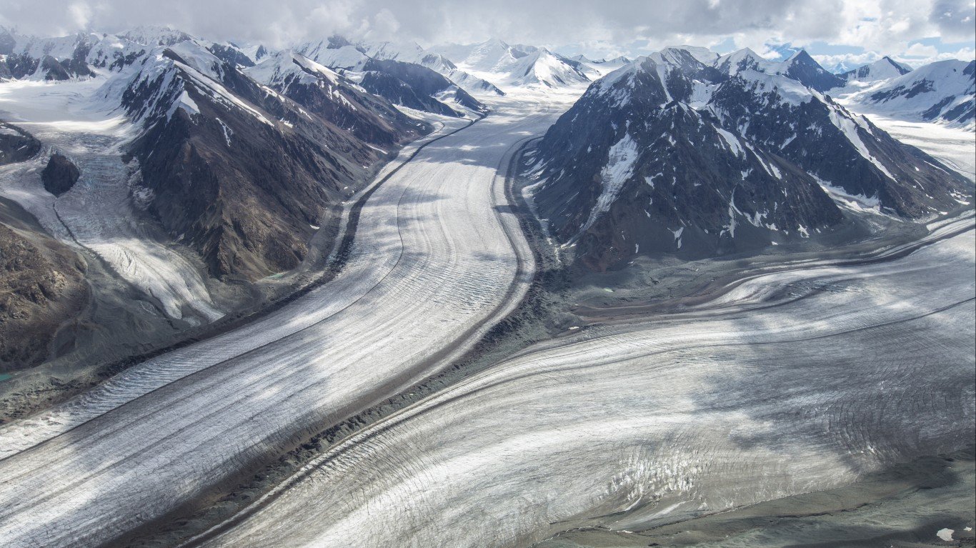
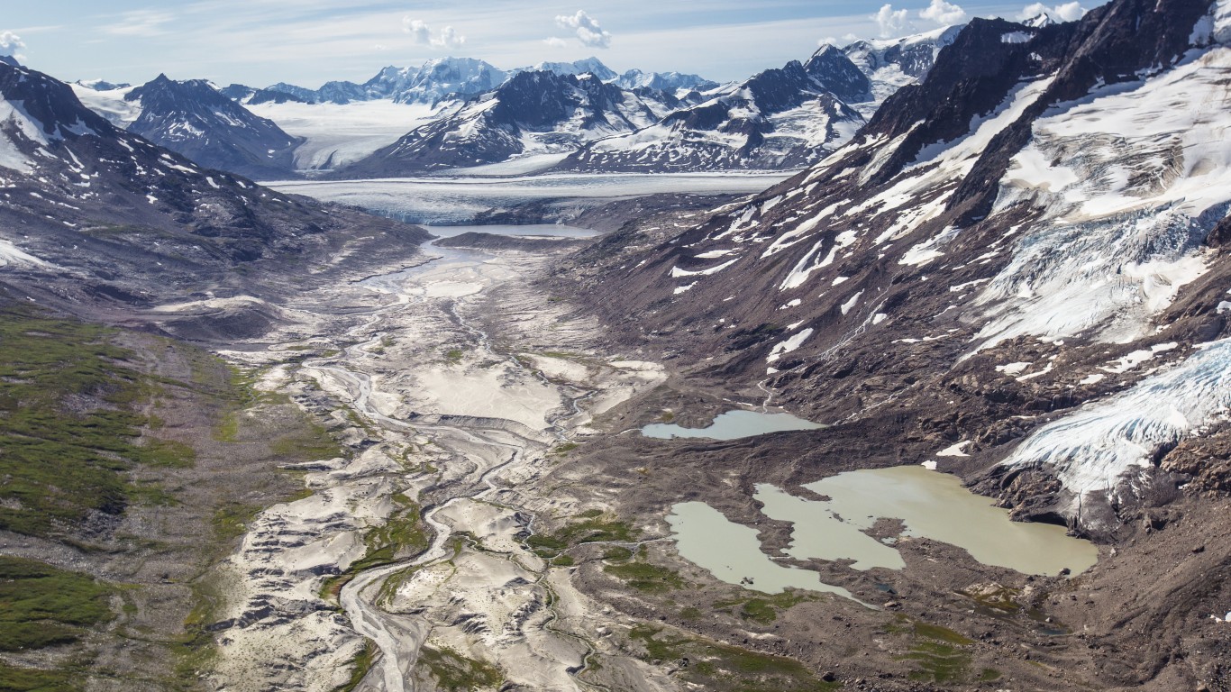
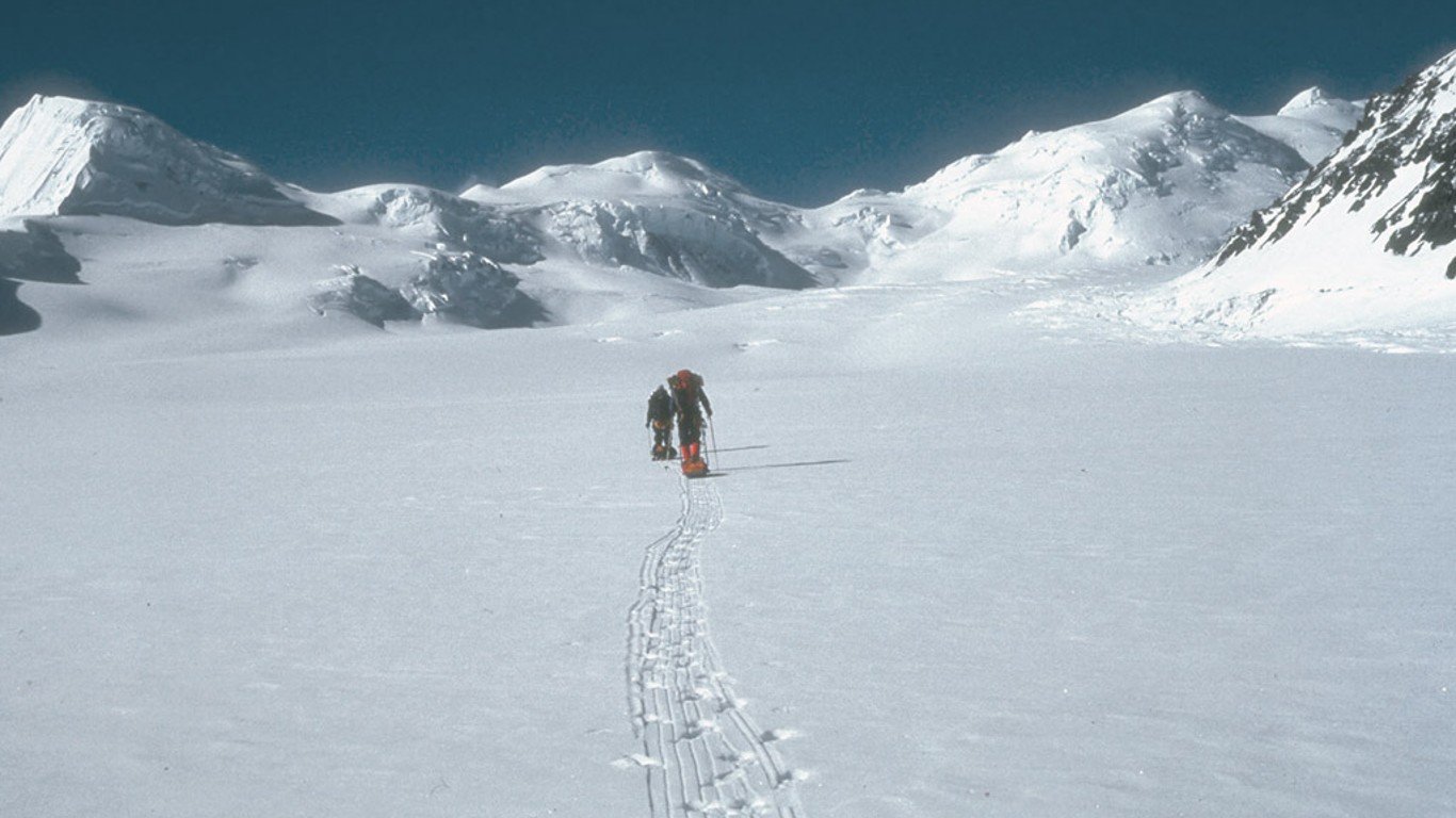
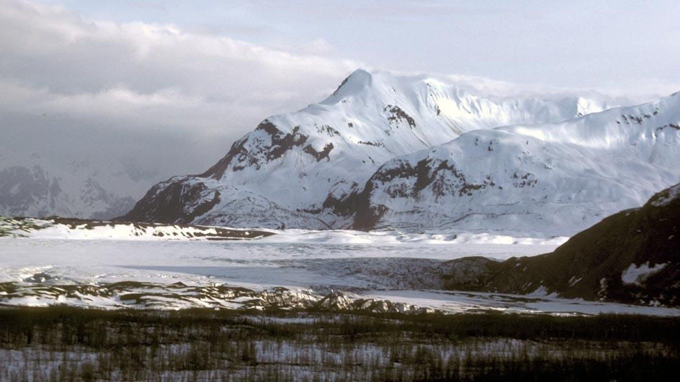
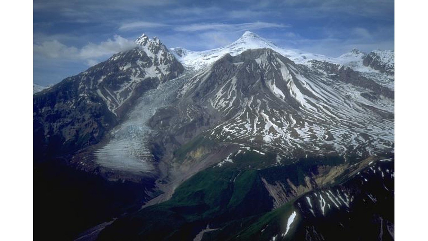
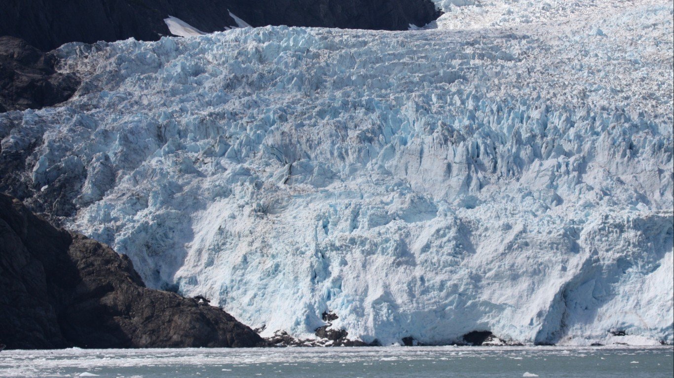
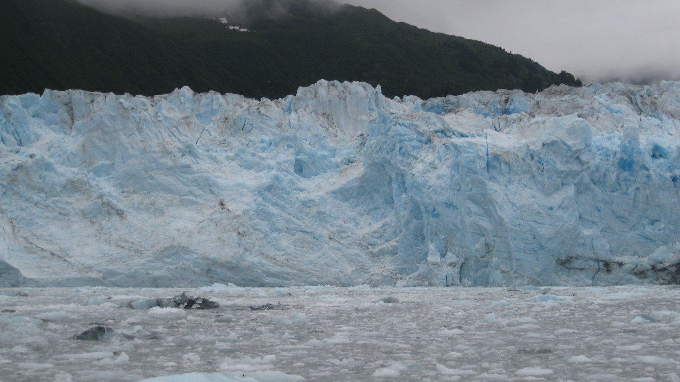
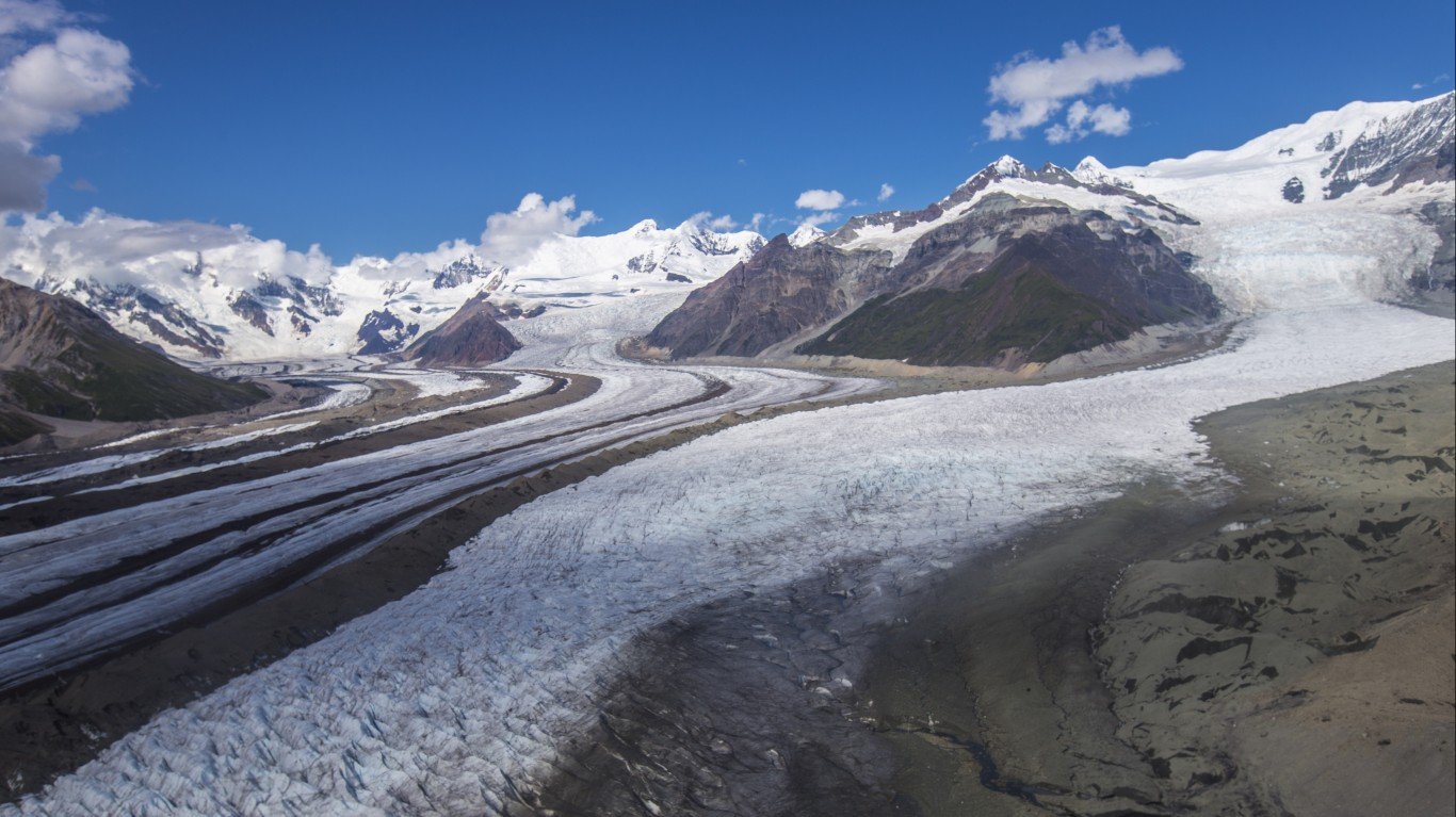
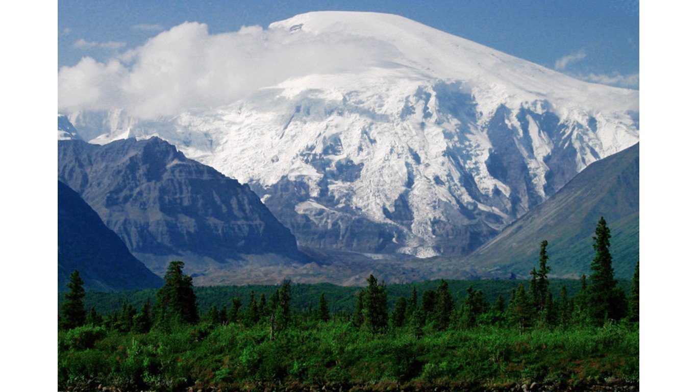
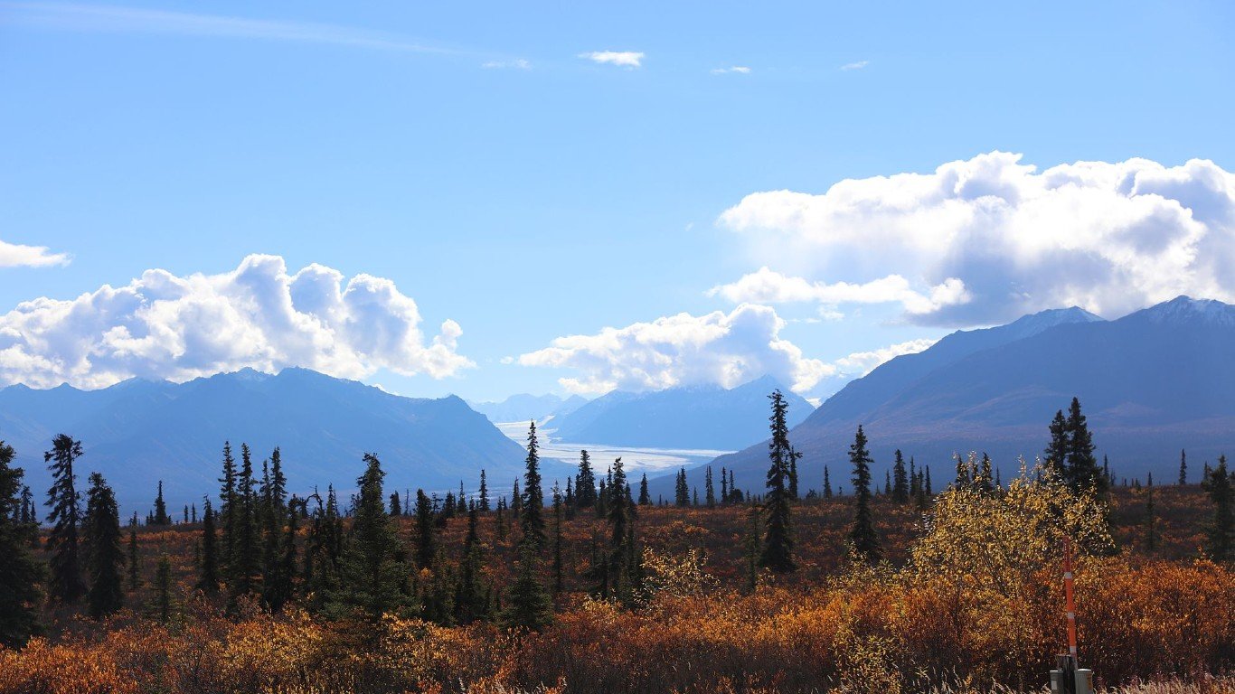
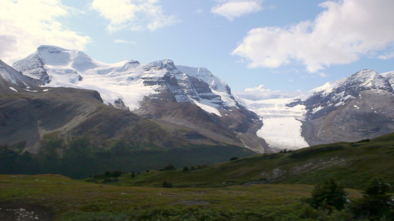
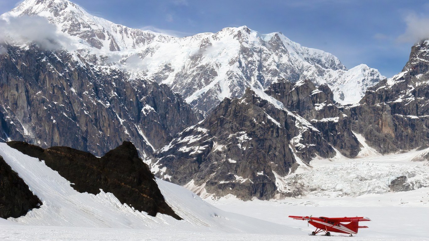
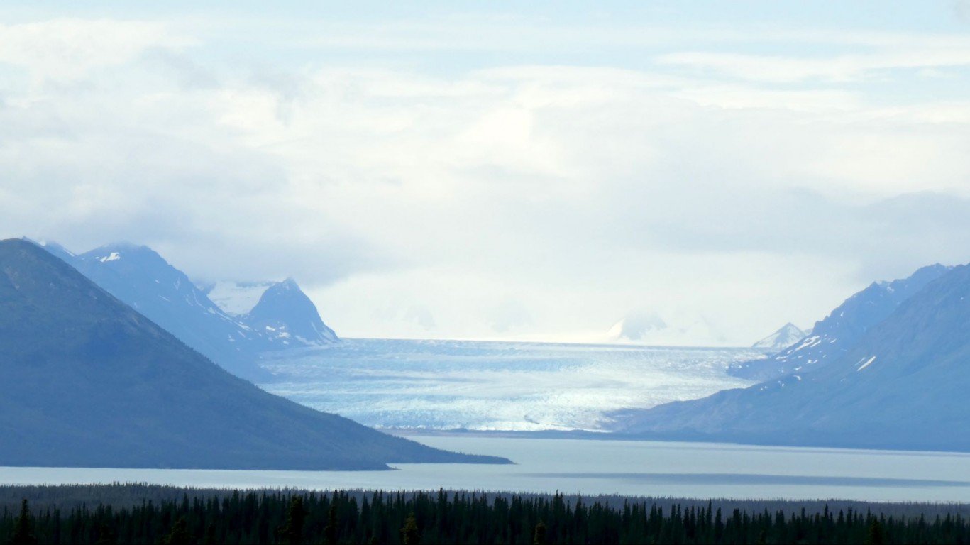
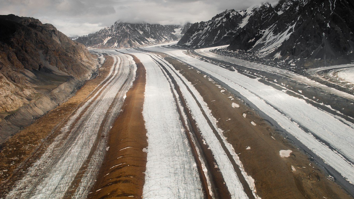
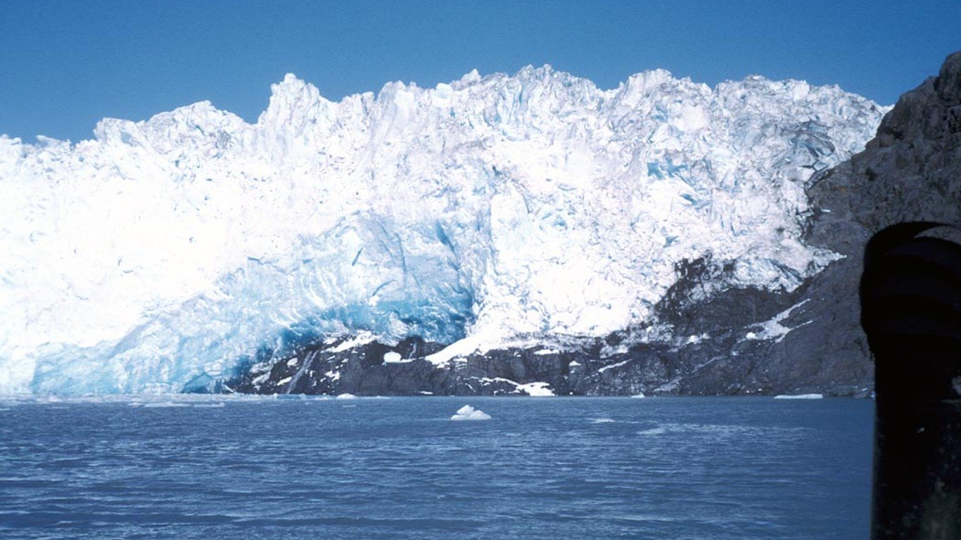
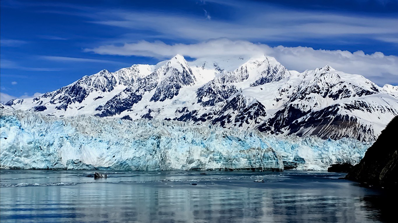
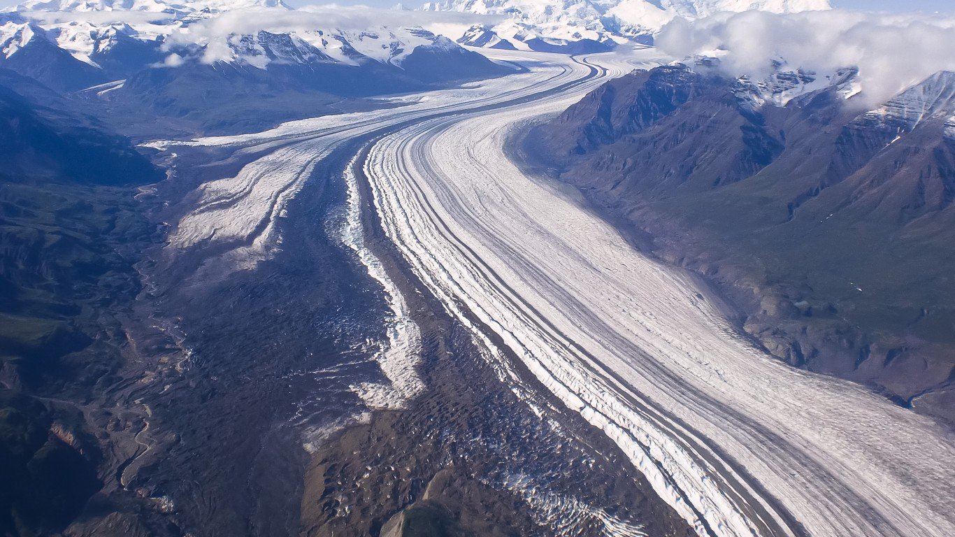
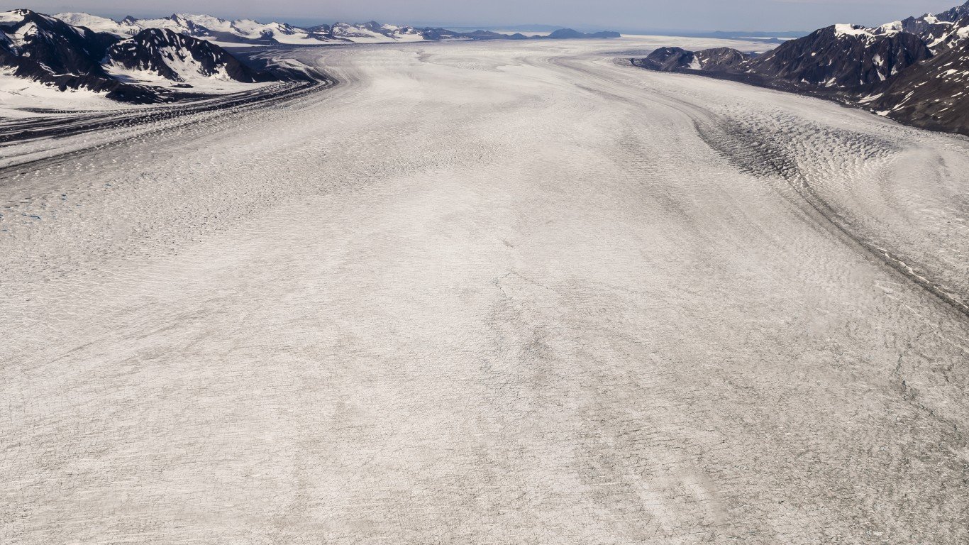
Glaciers, rivers of ice, thousands of years old, that move slowly through mountain ranges, fueled by gravity and their own weight and dynamics, are found on every continent except Australia. Formed by abundant snowfall, accumulating and compressing faster than the snow can melt, glaciers can reach thousands of feet in depth and over a hundred miles in length.
All told, the world’s glaciers hold about 69% of the world’s fresh water, according to the National Snow and Ice Data Center. They also account for — and have created — some of the world’s most awe-inspiring landscapes, even as their annual melt feeds rivers and streams throughout much of the world. (Here are stunning photos of America’s largest attractions.)
To find the largest glaciers and icefields in the U.S., 24/7 Wall St. reviewed data from the Census Bureau’s Tigerweb database.
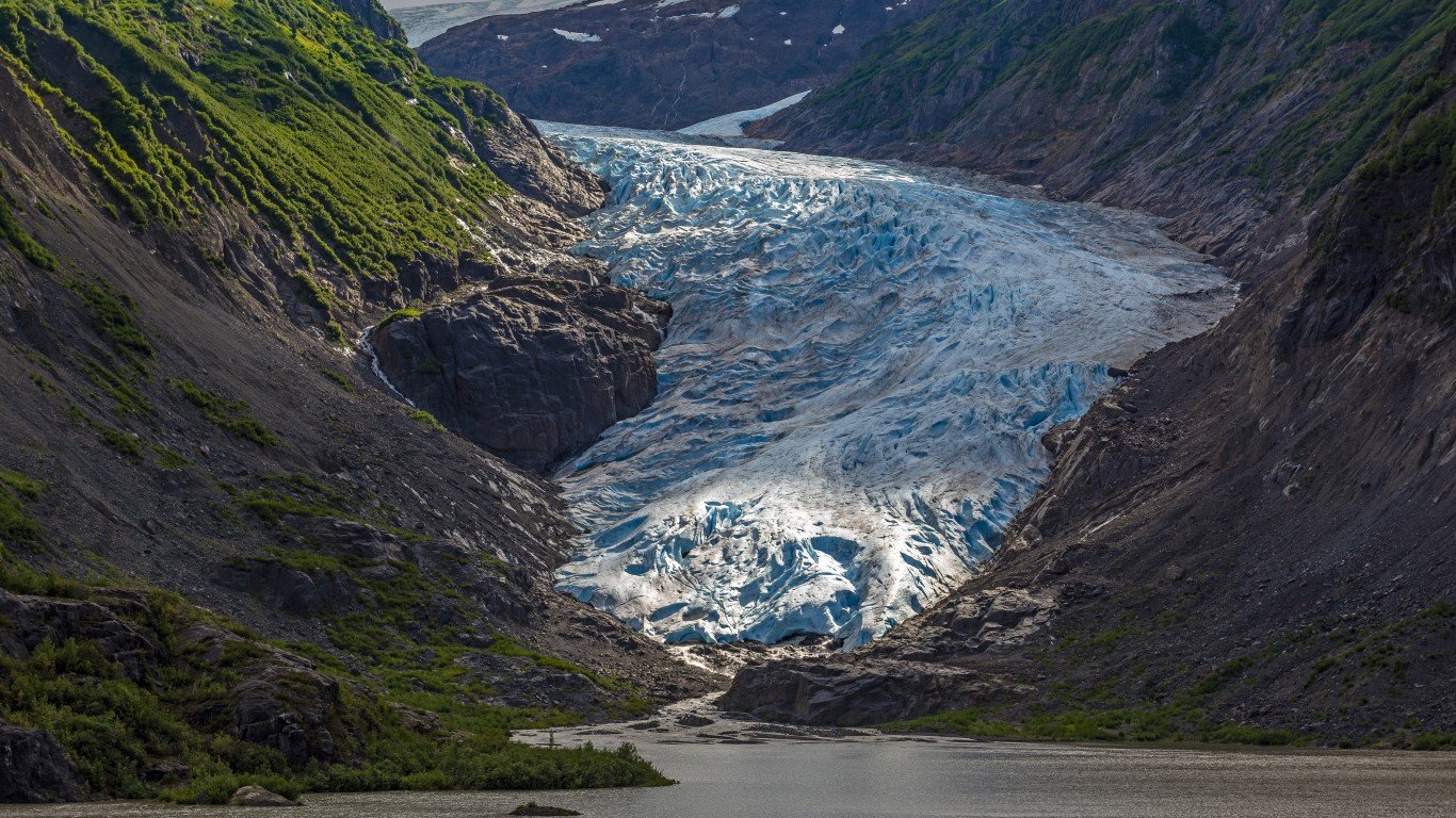
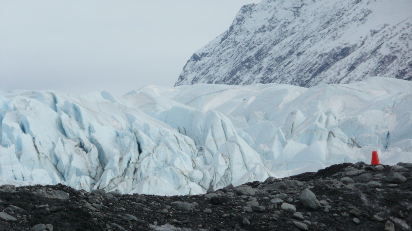
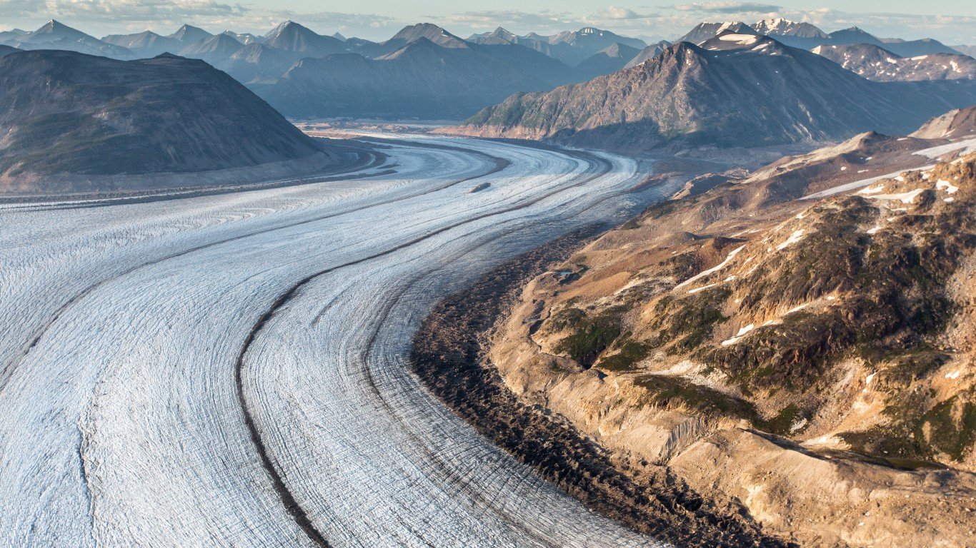
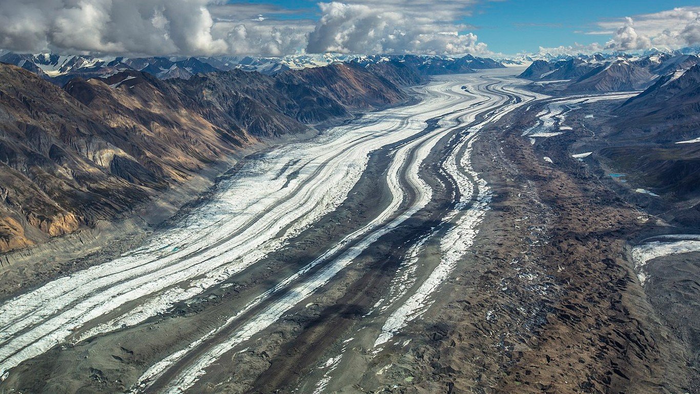
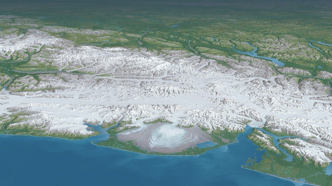
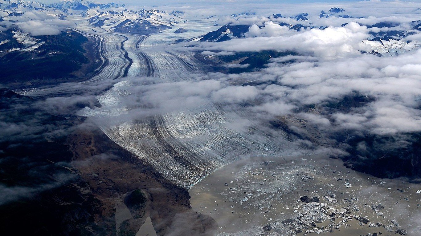
The United States has glaciers in Washington, Oregon, California, Montana, Wyoming, Colorado, Nevada, and most prominently, Alaska, where nearly 100,000 glaciers cover 5% of the state’s surface area. This one state has more active glaciers than any other region in the world. All 50 of the largest U.S. glaciers and icefields are found in Alaska.
Alaska’s largest glacier is the Bering Glacier, measuring nearly 500 square miles, and, when combined with the Begley icefield, which feeds it, measures 1,900 square miles. Even the Bear Glacier, the smallest of the country’s 50 most extensive glaciers, is an impressive 41.4 square miles in area.
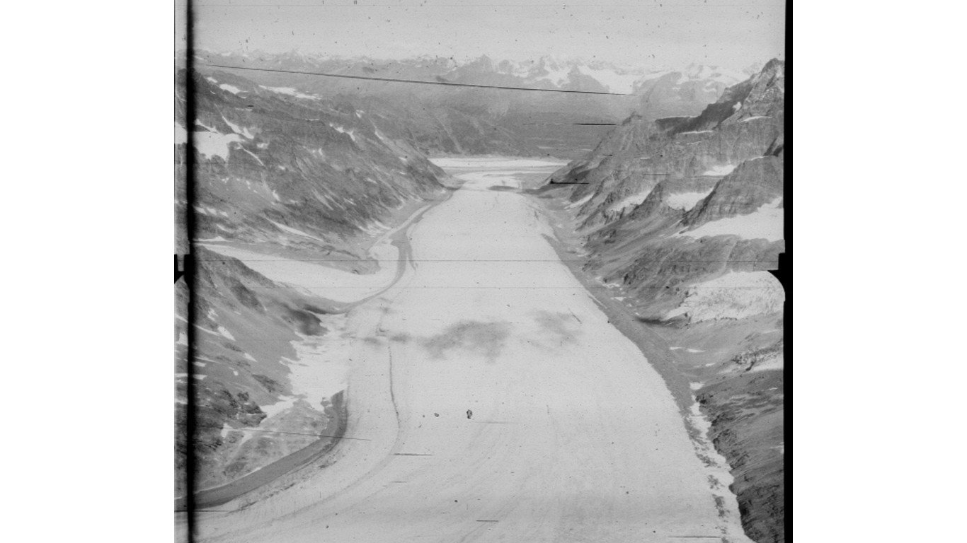
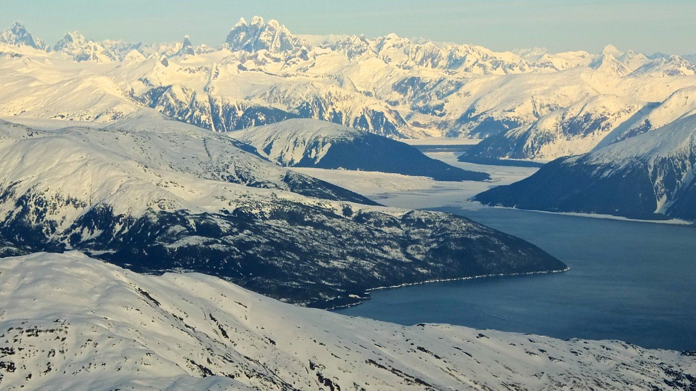
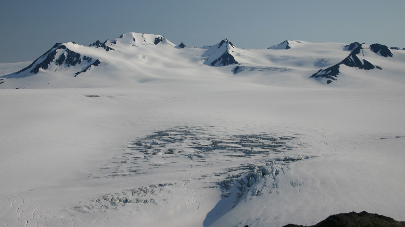
The largest icefield, generally defined as an immense ice mass comprising interconnected glaciers, is the Juneau icefield, which is made up of and feeds dozens of individual glaciers. (For the other extreme, here are the most dangerous volcanoes on the planet.)
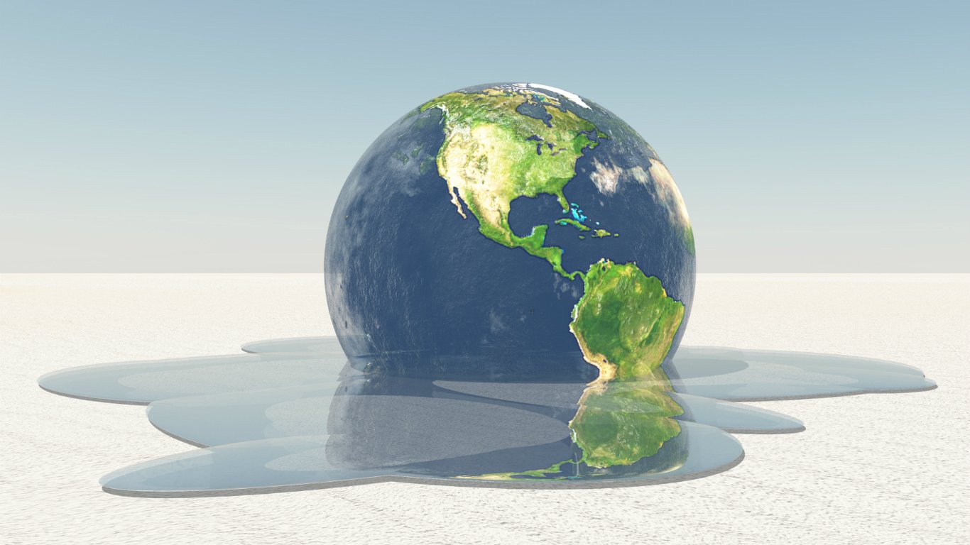
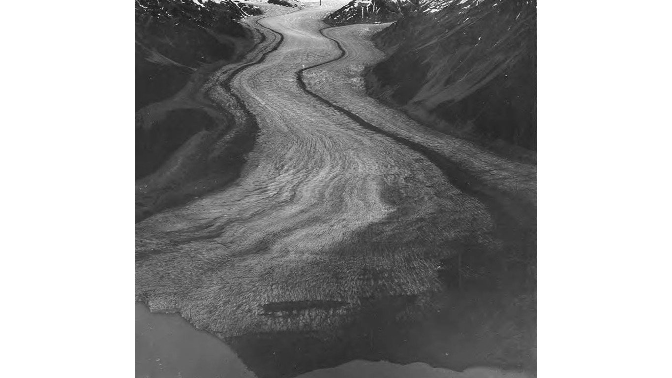
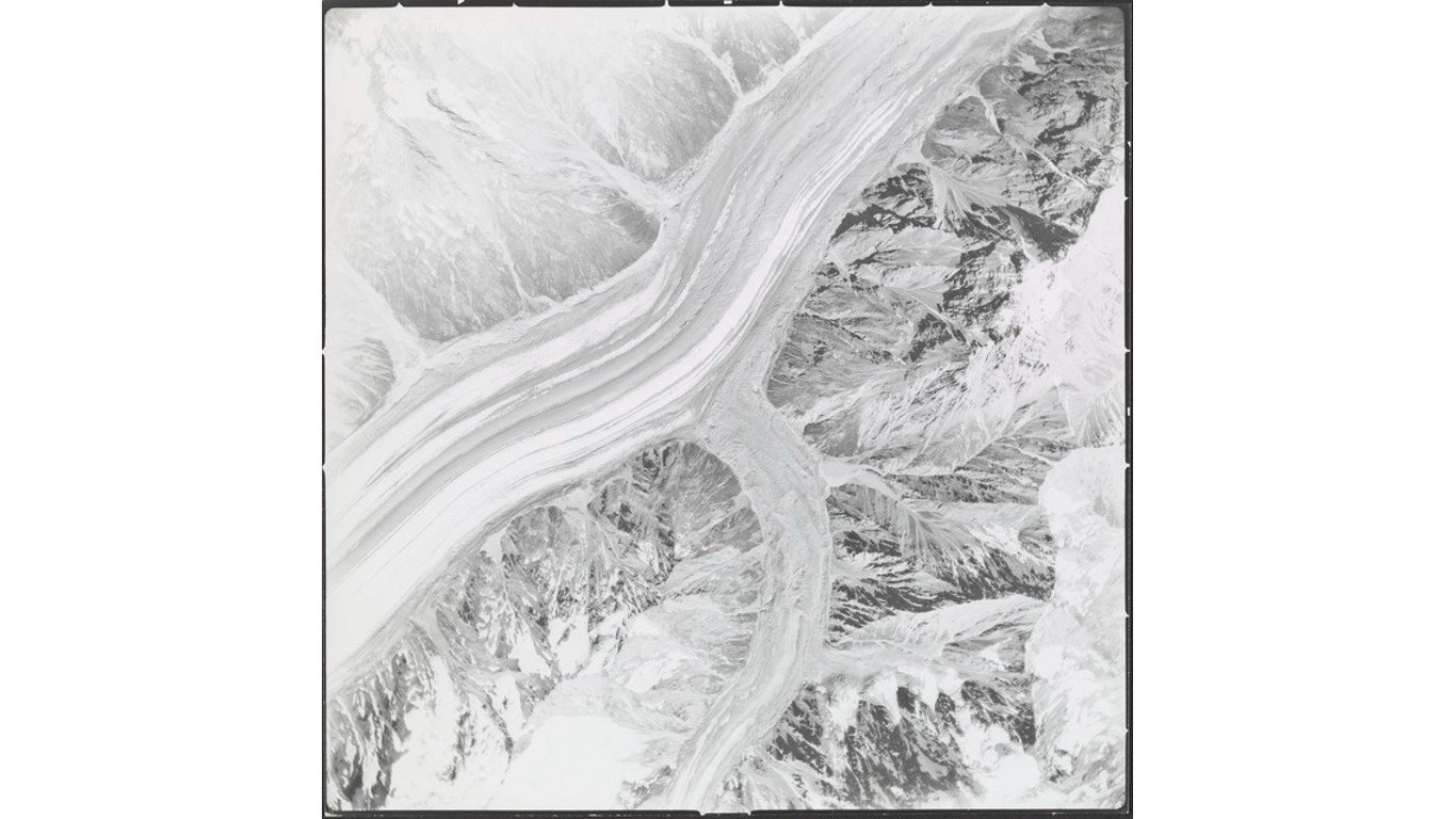
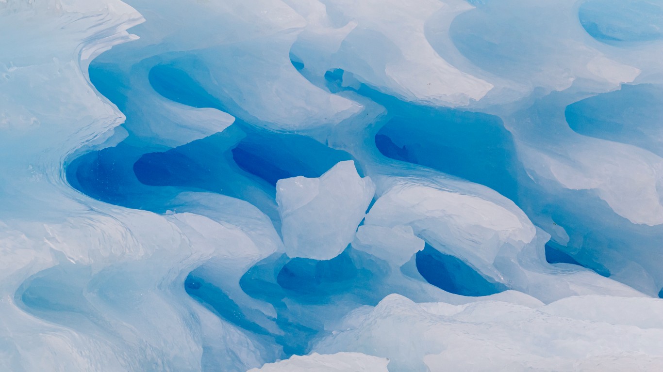
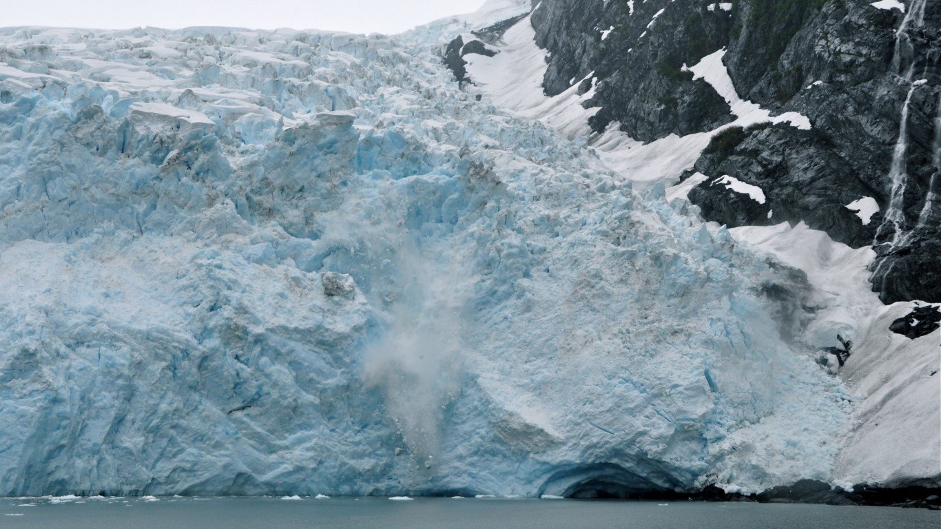
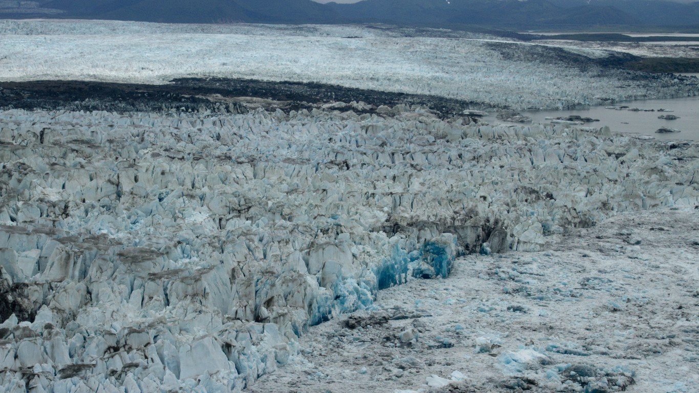
Glaciers provide one of the most dramatic measures of climate change. Globally, glaciers are melting at an accelerating pace, losing 31% more ice and snow each year than they did 15 years ago, according to a study of satellite imagery published in April in Nature.
The Alaskan glaciers are among the fastest melting in the world, contributing about 7% of the ice melt fueling sea level rise, while the state’s ice cover is only 1% of the world’s total, according to a 2018 study published in the journal Geophysical Research Letters.
Here are the country’s 50 largest glaciers and icefields
50. First Branch Columbia Glacier
> Land area: 36.4 square miles
> Closest town, borough, or school district: Valdez, Alaska (pop: 3,985)
> Map coordinates: Lat: 61.152, Long: -147.286
[in-text-ad]
49. Dixon Glacier
> Land area: 37.1 square miles
> Closest town, borough, or school district: St. Mary, Montana (pop: 50)
> Map coordinates: Lat: 48.929, Long: -114.016
[recirclink id=984787]
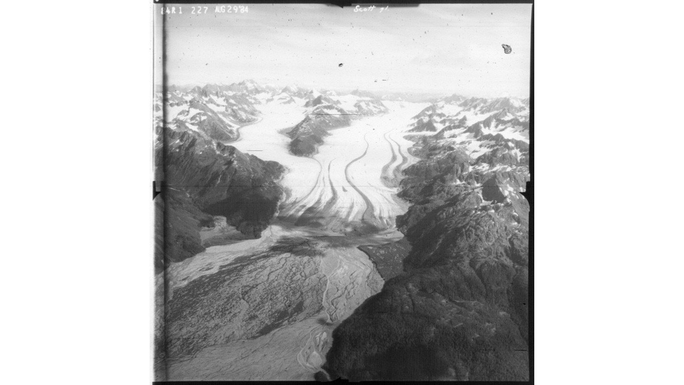
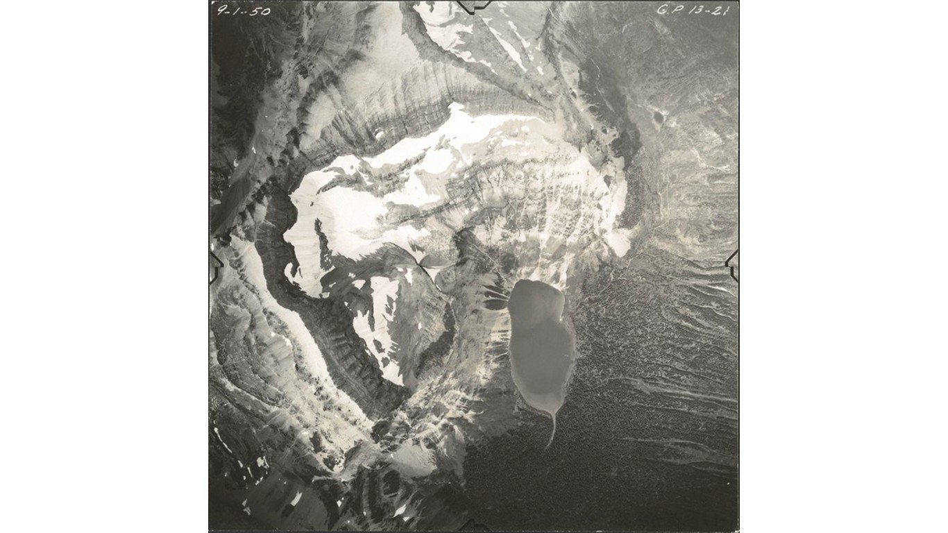
48. Scott Glacier
> Land area: 38.1 square miles
> Closest town, borough, or school district: Cordova, Alaska (pop: 2,239)
> Map coordinates: Lat: 60.673, Long: -145.200
47. Rohn Glacier
> Land area: 38.7 square miles
> Closest town, borough, or school district: McCarthy, Alaska (pop: 28)
> Map coordinates: Lat: 61.767, Long: -142.639
[in-text-ad-2]
46. Dahlgren Ridge Glacier
> Land area: 39.0 square miles
> Closest town, borough, or school district: McCarthy, Alaska (pop: 28)
> Map coordinates: Lat: 60.241, Long: -142.271
45. Shamrock Glacier
> Land area: 40.7 square miles
> Closest town, borough, or school district: Tyonek, Alaska (pop: 171)
> Map coordinates: Lat: 61.082, Long: -152.859
[in-text-ad]
44. Bear Glacier
> Land area: 41.4 square miles
> Closest town, borough, or school district: Lowell Point, Alaska (pop: 80)
> Map coordinates: Lat: 60.027, Long: -149.652
[recirclink id=915589]
43. Woodworth Glacier
> Land area: 43.8 square miles
> Closest town, borough, or school district: Valdez, Alaska (pop: 3,985)
> Map coordinates: Lat: 60.936, Long: -145.512
42. Wolverine Glacier
> Land area: 46.6 square miles
> Closest town, borough, or school district: Primrose, Alaska (pop: 78)
> Map coordinates: Lat: 60.458, Long: -148.927
[in-text-ad-2]
41. Susitna Glacier
> Land area: 52.8 square miles
> Closest town, borough, or school district: Fairbanks North Star Borough, Alaska (pop: 96,849)
> Map coordinates: Lat: 63.549, Long: -146.843
40. Johnson Glacier
> Land area: 53.0 square miles
> Closest town, borough, or school district: Dry Creek, Alaska (pop: 94)
> Map coordinates: Lat: 63.352, Long: -145.109
[in-text-ad]
39. Taku Glacier
> Land area: 54.5 square miles
> Closest town, borough, or school district: Juneau, Alaska (pop: 32,227)
> Map coordinates: Lat: 58.574, Long: -134.162
[recirclink id=964768]
38. Double Glacier
> Land area: 55.4 square miles
> Closest town, borough, or school district: Kenai Peninsula Borough, Alaska (pop: 58,464)
> Map coordinates: Lat: 60.660, Long: -152.669
37. Gakona Glacier
> Land area: 57.4 square miles
> Closest town, borough, or school district: Dry Creek, Alaska (pop: 94)
> Map coordinates: Lat: 63.158, Long: -145.154
[in-text-ad-2]
36. Baldwin Glacier
> Land area: 63.9 square miles
> Closest town, borough, or school district: Yakutat, Alaska (pop: 649)
> Map coordinates: Lat: 60.685, Long: -141.321
35. Tana Glacier
> Land area: 64.1 square miles
> Closest town, borough, or school district: Cordova, Alaska (pop: 2,239)
> Map coordinates: Lat: 60.699, Long: -142.682
[in-text-ad]
34. Klutlan Glacier
> Land area: 64.4 square miles
> Closest town, borough, or school district: McCarthy, Alaska (pop: 28)
> Map coordinates: Lat: 61.416, Long: -141.359
[recirclink id=1001518]
33. Bremner Glacier
> Land area: 67.5 square miles
> Closest town, borough, or school district: McCarthy, Alaska (pop: 28)
> Map coordinates: Lat: 60.849, Long: -143.412
32. Allen Glacier
> Land area: 69.0 square miles
> Closest town, borough, or school district: Cordova, Alaska (pop: 2,239)
> Map coordinates: Lat: 60.788, Long: -144.940
[in-text-ad-2]
31. Russell Glacier
> Land area: 70.2 square miles
> Closest town, borough, or school district: Idanha, Alaska (pop: 134)
> Map coordinates: Lat: 44.691, Long: -121.820
30. Triumvirate Glacier
> Land area: 71.6 square miles
> Closest town, borough, or school district: Beluga, Alaska (pop: 20)
> Map coordinates: Lat: 61.462, Long: -152.076
[in-text-ad]
29. Holgate Glacier
> Land area: 71.7 square miles
> Closest town, borough, or school district: Kenai Peninsula Borough, Alaska (pop: 58,464)
> Map coordinates: Lat: 59.878, Long: -149.939
[recirclink id=990910]
28. Logan Glacier
> Land area: 72.1 square miles
> Closest town, borough, or school district: McCarthy, Alaska (pop: 28)
> Map coordinates: Lat: 60.903, Long: -141.201
27. St Elias Icefield
> Land area: 77.1 square miles
> Closest town, borough, or school district: McCarthy, Alaska (pop: 28)
> Map coordinates: Lat: 61.416, Long: -141.700
[in-text-ad-2]
26. Harvard Glacier
> Land area: 79.2 square miles
> Closest town, borough, or school district: Chugach School District, Alaska (pop: 370)
> Map coordinates: Lat: 61.310, Long: -147.655
25. Kennicott Glacier
> Land area: 80.7 square miles
> Closest town, borough, or school district: McCarthy, Alaska (pop: 28)
> Map coordinates: Lat: 61.613, Long: -143.068
[in-text-ad]
24. Baird Glacier
> Land area: 81.8 square miles
> Closest town, borough, or school district: City and Borough of Wrangell, Alaska (pop: 2,502)
> Map coordinates: Lat: 57.207, Long: -132.523
[recirclink id=984787]
23. Blackstone Glacier
> Land area: 85.4 square miles
> Closest town, borough, or school district: Whittier, Alaska (pop: 272)
> Map coordinates: Lat: 60.635, Long: -148.790

22. Cheshinina Glacier
> Land area: 86.6 square miles
> Closest town, borough, or school district: Copper Center, Alaska (pop: 338)
> Map coordinates: Lat: 61.942, Long: -144.074
[in-text-ad-2]
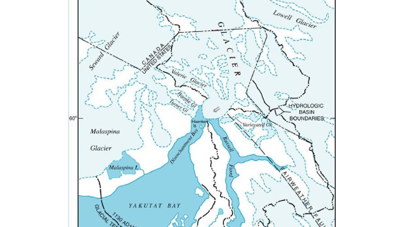
21. Valerie Glacier
> Land area: 101.7 square miles
> Closest town, borough, or school district: Yakutat, Alaska (pop: 649)
> Map coordinates: Lat: 60.197, Long: -139.641
20. Sanford Icefield
> Land area: 103.2 square miles
> Closest town, borough, or school district: Gakona, Alaska (pop: 218)
> Map coordinates: Lat: 62.248, Long: -144.118
[in-text-ad]
19. Chitina Glacier
> Land area: 108.6 square miles
> Closest town, borough, or school district: McCarthy, Alaska (pop: 28)
> Map coordinates: Lat: 61.014, Long: -141.316
[recirclink id=915589]
18. Capps Glacier
> Land area: 118.1 square miles
> Closest town, borough, or school district: Beluga, Alaska (pop: 20)
> Map coordinates: Lat: 61.428, Long: -152.118
17. Nelchina Glacier
> Land area: 121.4 square miles
> Closest town, borough, or school district: Glacier View, Alaska (pop: 234)
> Map coordinates: Lat: 61.690, Long: -147.065
[in-text-ad-2]
16. Columbia Glacier
> Land area: 161.5 square miles
> Closest town, borough, or school district: Chugach School District, Alaska (pop: 370)
> Map coordinates: Lat: 61.177, Long: -147.028
15. Ruth Glacier
> Land area: 163.2 square miles
> Closest town, borough, or school district: Trapper Creek, Alaska (pop: 481)
> Map coordinates: Lat: 62.923, Long: -150.749
[in-text-ad]
14. Tazlina Glacier
> Land area: 163.8 square miles
> Closest town, borough, or school district: Copper River School District, Alaska (pop: 446)
> Map coordinates: Lat: 61.523, Long: -146.557
[recirclink id=964768]
13. Barnard Glacier
> Land area: 177.0 square miles
> Closest town, borough, or school district: McCarthy, Alaska (pop: 28)
> Map coordinates: Lat: 61.199, Long: -141.588
12. Sargent Icefield
> Land area: 184.5 square miles
> Closest town, borough, or school district: Primrose, Alaska (pop: 78)
> Map coordinates: Lat: 60.413, Long: -148.603
[in-text-ad-2]
11. Miles Glacier
> Land area: 187.5 square miles
> Closest town, borough, or school district: Chugach School District, Alaska (pop: 370)
> Map coordinates: Lat: 60.620, Long: -144.203
10. Black Rapids Glacier
> Land area: 197.2 square miles
> Closest town, borough, or school district: Matanuska-Susitna Borough School District, Alaska (pop: 15,969)
> Map coordinates: Lat: 63.479, Long: -146.921
[in-text-ad]
9. Hubbard Glacier
> Land area: 214.1 square miles
> Closest town, borough, or school district: Yakutat, Alaska (pop: 649)
> Map coordinates: Lat: 60.239, Long: -139.355
[recirclink id=1001518]
8. Martin River Glacier
> Land area: 243.8 square miles
> Closest town, borough, or school district: Cordova, Alaska (pop: 2,239)
> Map coordinates: Lat: 60.552, Long: -143.670
7. Wrangell Icefield
> Land area: 246.1 square miles
> Closest town, borough, or school district: Silver Springs, Alaska (pop: 114)
> Map coordinates: Lat: 62.033, Long: -143.922
[in-text-ad-2]
6. Jefferies Glacier
> Land area: 310.3 square miles
> Closest town, borough, or school district: McCarthy, Alaska (pop: 28)
> Map coordinates: Lat: 60.585, Long: -142.025
5. Nabesna Glacier
> Land area: 353.1 square miles
> Closest town, borough, or school district: McCarthy, Alaska (pop: 28)
> Map coordinates: Lat: 61.870, Long: -143.220
[in-text-ad]
4. Harding Icefield
> Land area: 398.7 square miles
> Closest town, borough, or school district: Kenai Peninsula Borough, Alaska (pop: 58,464)
> Map coordinates: Lat: 60.008, Long: -150.070
[recirclink id=990910]
3. Juneau Icefield
> Land area: 563.0 square miles
> Closest town, borough, or school district: Juneau, Alaska (pop: 32,227)
> Map coordinates: Lat: 58.644, Long: -134.281
2. Bering Glacier
> Land area: 624.4 square miles
> Closest town, borough, or school district: McCarthy, Alaska (pop: 28)
> Map coordinates: Lat: 60.525, Long: -142.631
[in-text-ad-2]
1. Bagley Icefield
> Land area: 863.4 square miles
> Closest town, borough, or school district: Cordova, Alaska (pop: 2,239)
> Map coordinates: Lat: 60.521, Long: -142.713
Contact [email protected] for any questions or corrections.