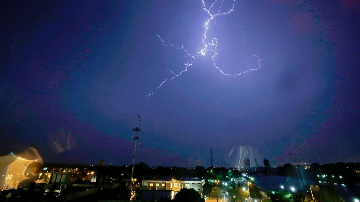
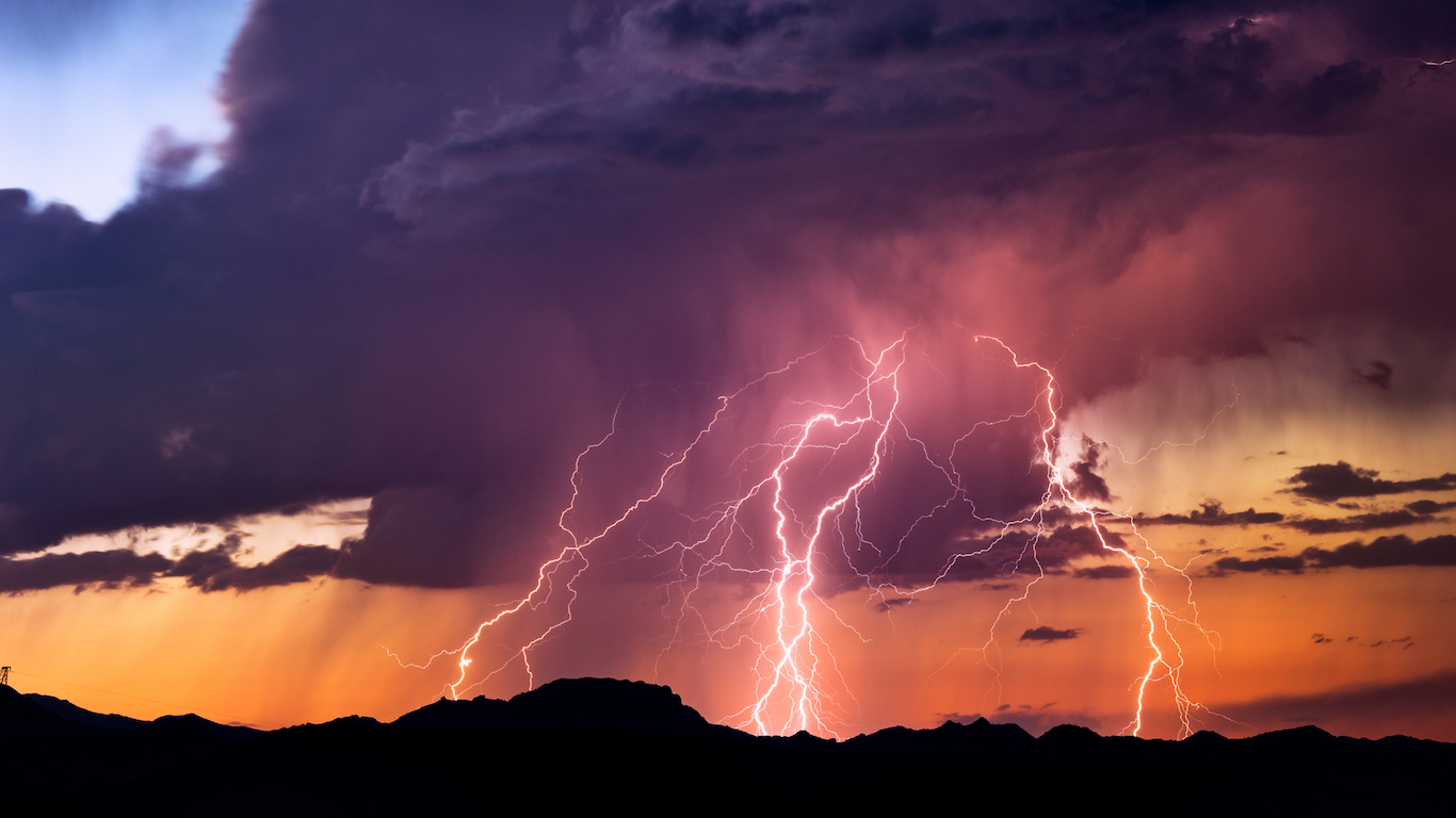
Earth’s climate systems are extraordinarily complex, producing every moment of the day weather and climate conditions of all varieties. Predicting the weather even a few days into the future remains an imperfect science riddled with challenges only made larger by climate change.
24/7 Wall St. compiled a list of 22 rare weather events. We concentrated on the most surprising and infrequently occurring weather patterns — be they unusual varieties of catastrophic storms such as cyclones in the Mediterranean Sea or spectacular visual phenomena such as ball lightning.
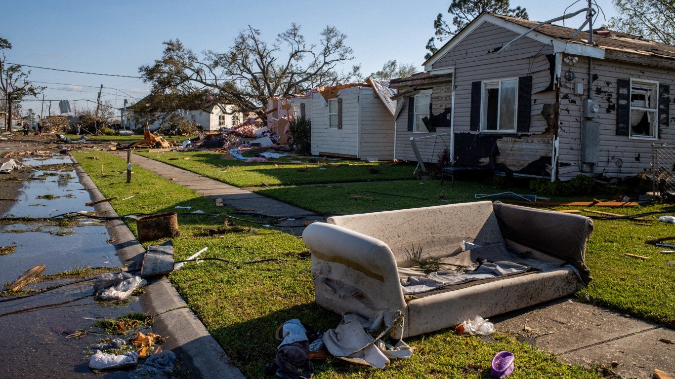
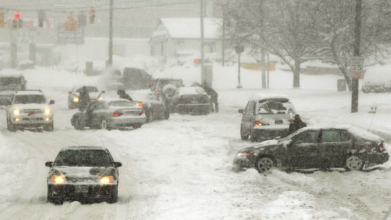
Some of these unusual weather events appear to be occurring with greater frequency as shifts in the Earth’s climate continue to accelerate. Here is a list of places where the weather is getting worse because of climate change.
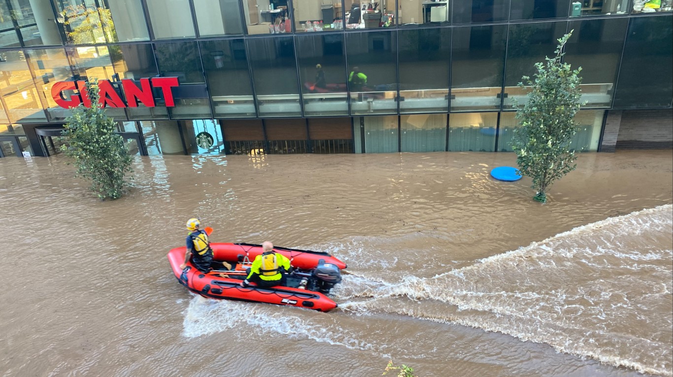
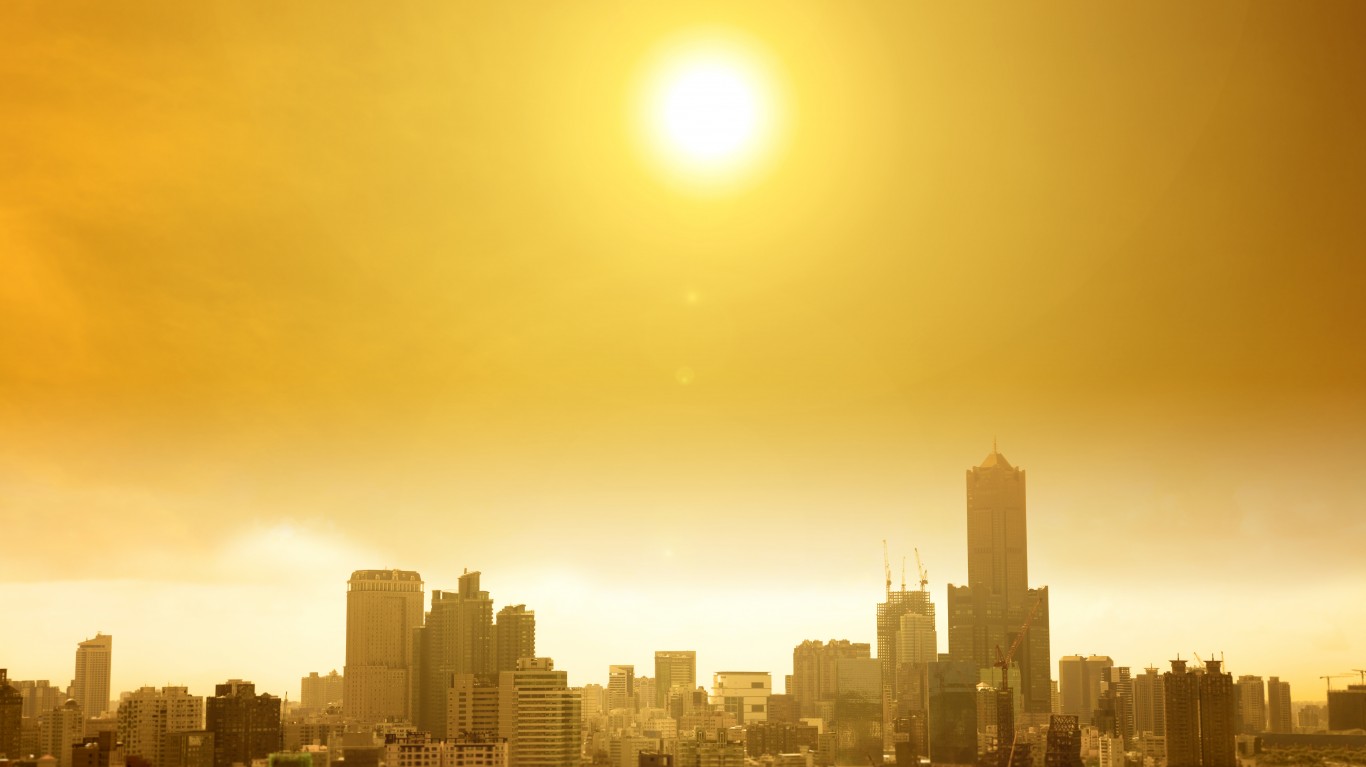
Last year was tied with 2016 for the hottest recorded year on Earth and 2019 was the second wettest year on record for the United States.
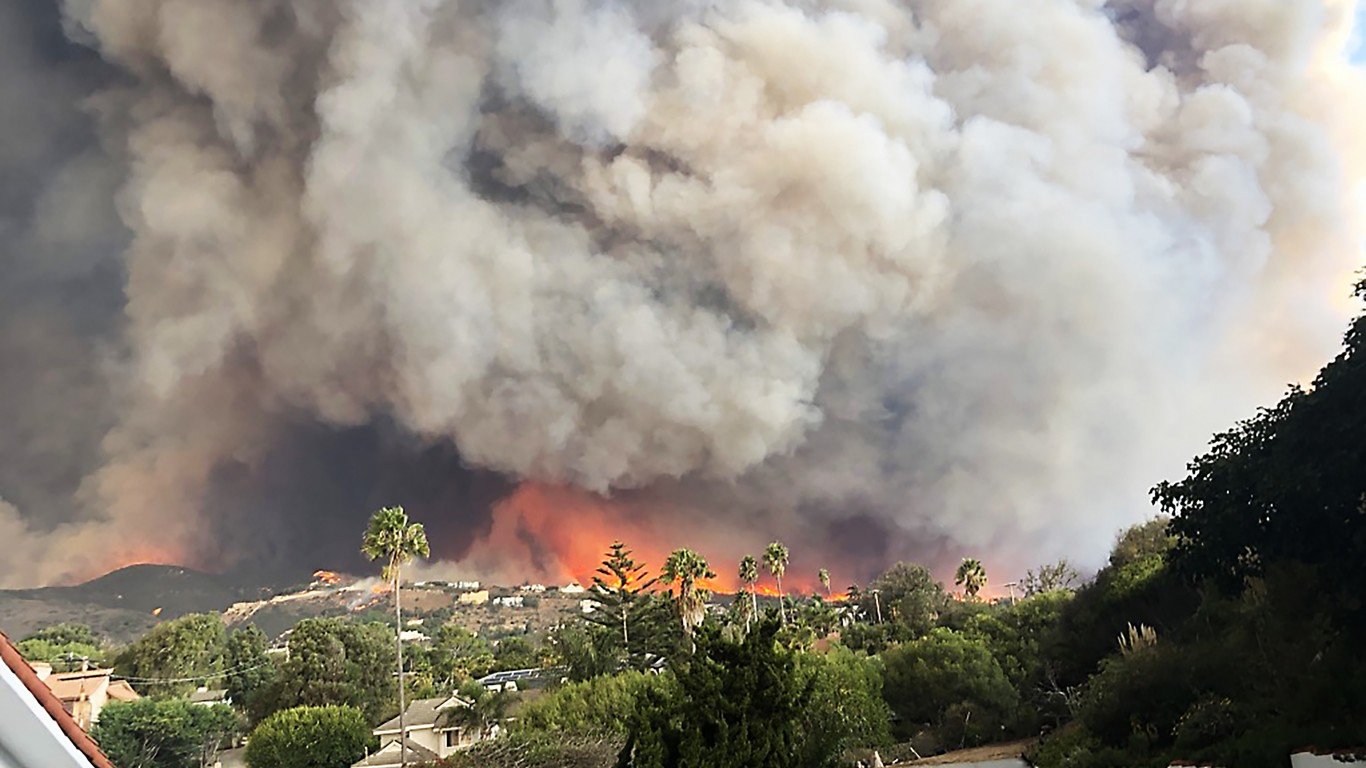
Unusual high pressure zones in 2013 blocked or diverted storms off the coast of California, leading to one of the worst droughts in the state’s history. Unusually destructive wildfires in subsequent years were also attributed by meteorologists to increased occurrences of atmospheric blocking.
Record high temperatures and unusual precipitation events such as these, as well as the more rare weather events such as nacreous clouds that form from methane concentrations and atmospheric blocking events in the jet stream, are all becoming increasingly common as climate change progresses.
Click here to see the rarest types of weather on Earth

1. Ball lightning
In rare circumstances, usually during or after thunderstorms, luminescent electric blue or orange orbs can appear for a few seconds in the sky. While the weather phenomenon has been well documented since antiquity, the physics of ball lightning is not understood. The first spectrometer measurement of ball lightning was taken by accident in 2014, during field experiments in China.
According to a statistical analysis of ball lightning sightings published by the American Physical Society in 1960, just 5% of the world’s population has witnessed ball lightning.
[in-text-ad]
2. Record-high temperatures
No one would classify a heat wave as a rare weather phenomenon. In the context of meteorological records, however, the high temperatures documented in the past decade are among the most unusual climate events in recorded human history. Both 2016 and 2020 were tied as the two hottest years across the globe in recorded history.
[recirclink id=987617]
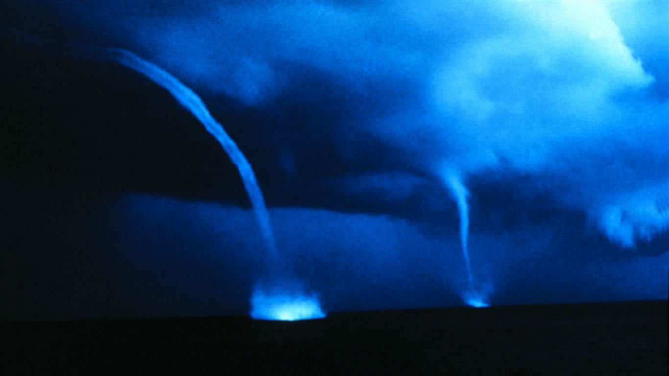
3. Waterspouts
Waterspouts are rotating columns of air that normally form over water. They are usually less violent than tornadoes and form mostly in tropical and subtropical regions. They are relatively common in the Atlantic Ocean off the coast of Florida.
4. Gustnadoes
Gustnadoes are not a type of tornado. NOAA classifies the weather phenomenon as “thunderstorm wind events.” Unlike tornadoes, the root of a gustnado is not connected to the base of a cloud, rather the vortex rises from the ground.
[in-text-ad-2]

5. Asperitas clouds
Scientists named asperitas clouds after the latin word “aspero,” which means aggravate, enrage, and roughen and was used during the classical era to describe stormy seas.
NOAA considers these clouds “other cloud phenomenon,” characterized by long rippling waves through the base of the cloud.
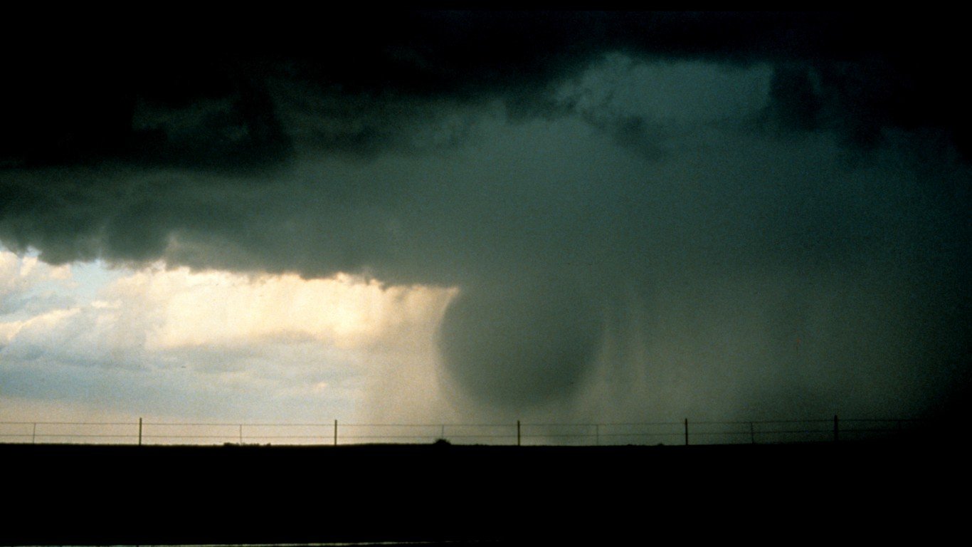
6. Microbursts
A microburst is a small version of a downburst, which is a column of sinking air with high-speed winds associated with thunderstorms. Similar to a tornado, microbursts can cause significant damage to buildings and landscapes and are also a threat to aircraft. Microbursts are less than 2.5 miles in scale, and extreme ones can produce wind speeds up to 150 mph. They can be either wet, dry, or a hybrid of the two.
[in-text-ad]
7. Inversion clouds
Air temperature normally decreases as altitude increases. In the phenomenon known as thermal inversion, the air at ground level is cooler than the air above it. This can cause smog buildup because inversions trap pollutants near the ground. It can also cause thick fog or clouds that are capable of filling up the Grand Canyon for the entire day, which happened in 2013. Although smaller inversions in the Grand Canyon occur more often, larger ones only occur about every 10 years.
[recirclink id=935637]
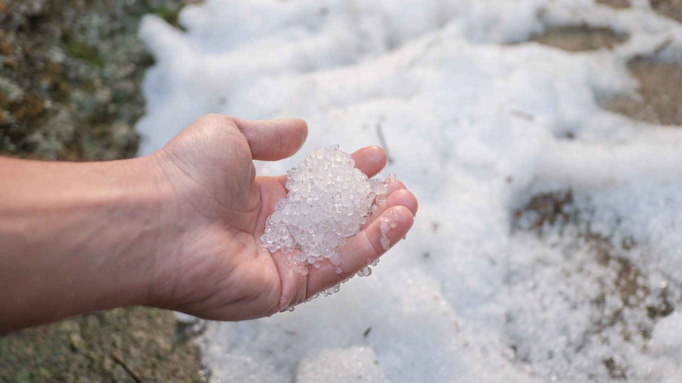
8. Hail glaciers
Hail glaciers are large accumulations of hail that can stay frozen for some time. In 2004, in Clayton, New Mexico, 15 foot deep ice “glaciers” formed along riverbanks following a summer hail storm. The ice remained for nearly a month. Such hail glaciers have been documented on a few other occasions in locations in the American Southwest, including Dalhart and Amarillo, Texas, and most recently in the Mexican city of Guadalajara in June of 2019.
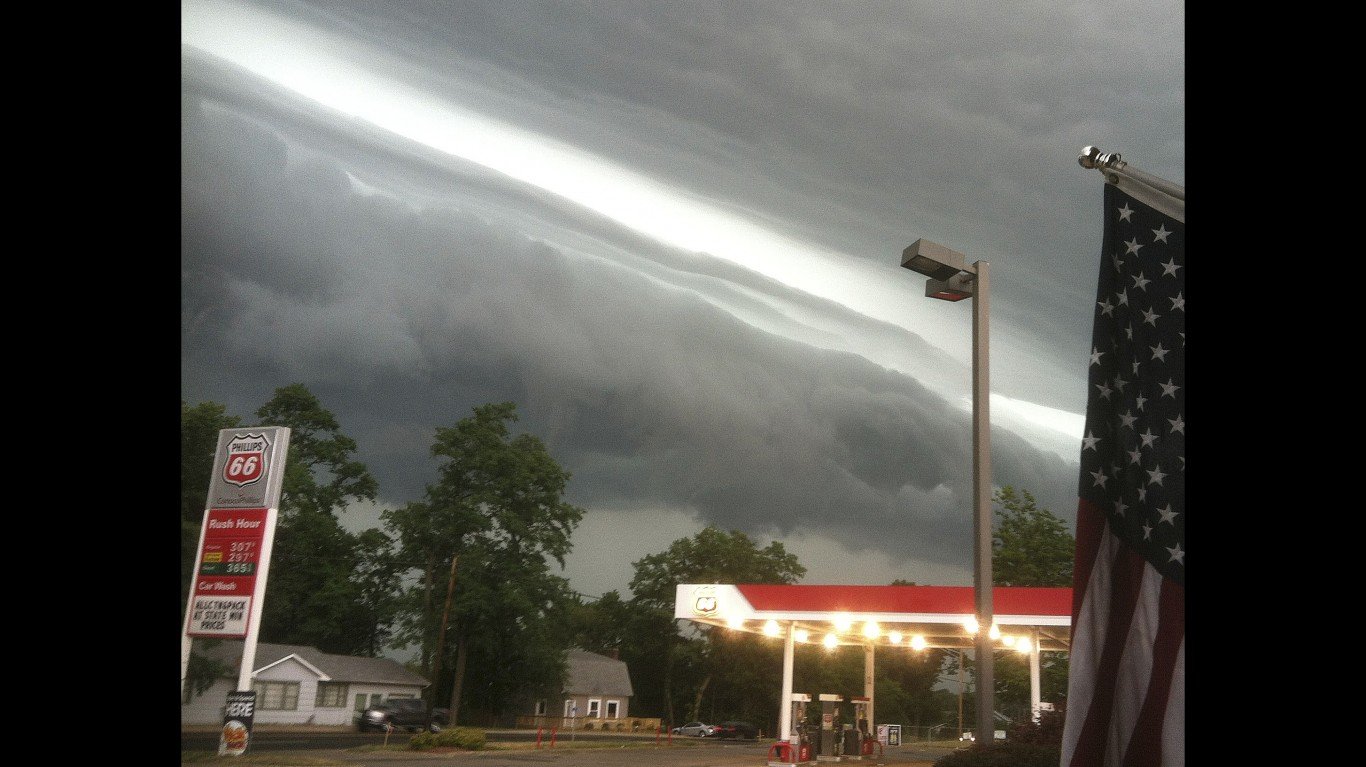
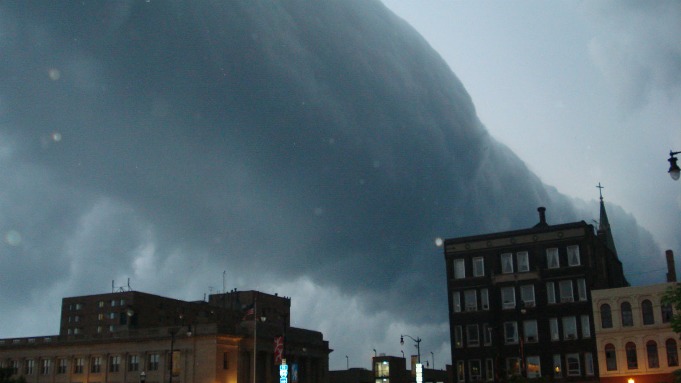
9. Derechos
A derecho is a rare type of severe thunderstorm event. It is a long-lived, wide wind storm with showers or thunderstorms that typically moves in a straight line. A derecho often creates striking visual formations as ominous shelf clouds approach. By definition, derechos must include winds of at least 58 mph along most of their length and produce a swath of wind damage that is at least 240 miles long.
[in-text-ad-2]
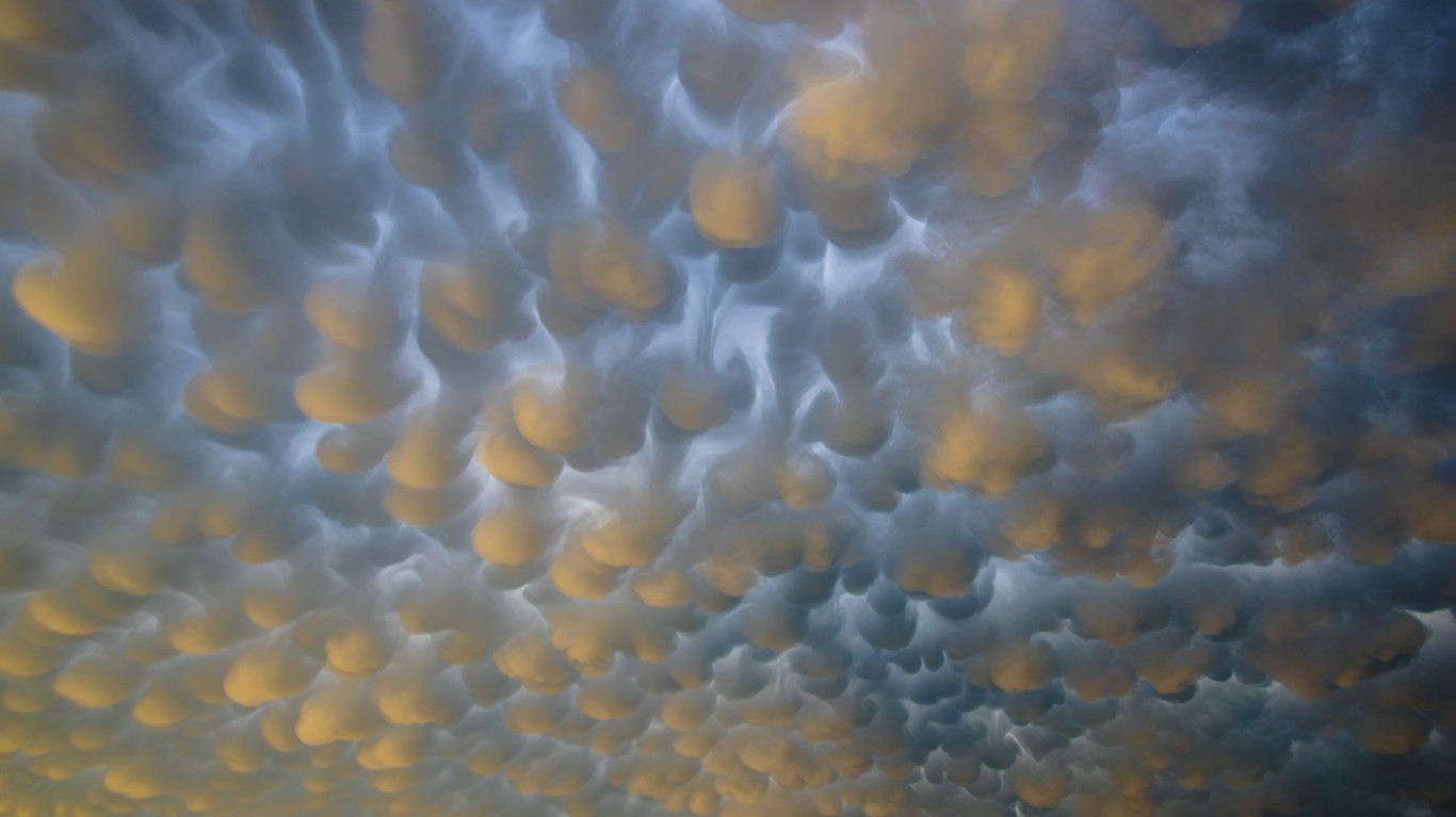
10. Mammatus clouds
Mammatus clouds occur when a large base cloud develops a series of smaller, round protuberances on the underside. While they can occur in different types of clouds, they are most often seen on cumulonimbus clouds — towering cloud formations with flat bases. They occur when ice crystals fall out of the cloud and turn to water vapor, cooling the air around them, creating the sunken pockets indicative of mammatus formations.
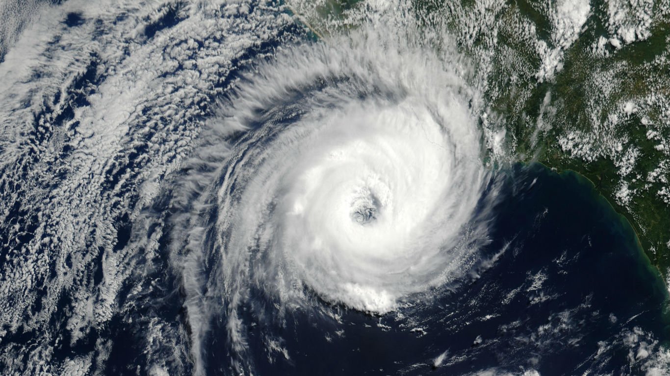
11. South Atlantic hurricanes
Tropical storms are incredibly rare below the equator in the South Atlantic. Only one South Atlantic hurricane has ever been recorded: Hurricane Catarina, which hit Brazil in 2004. The infrequency of storms in the South Atlantic can be attributed to both cool ocean surface temperatures and strong wind shears.
[in-text-ad]
12. Kelvin-Helmholtz clouds
Resembling a series of rolling ocean waves, Kelvin-Helmholtz clouds often form when two adjacent layers of atmospheric air are moving at different speeds. Their presence may indicate atmospheric instability and turbulence for aircraft. They may also have been the inspiration behind Van Gogh’s famous painting Starry Night.
[recirclink id=975409]

13. St. Elmo’s fire
Most often occurring during thunderstorms at sea, St. Elmo’s Fire is a burst of plasma, or ionized air that glows blue and can cause tall structures such as ships masts or church steeples to appear to be on fire. It occurs when an imbalance in electrical charge causes molecules to rip apart.
14. Thundersleet
Thundersleet happens when a thunderstorm occurs simultaneously with a sleet storm. Like thundersnow, this phenomenon is extremely rare and occurs when the friction created by strong up and downdrafts causes charged particles to collide within a cloud.
[in-text-ad-2]
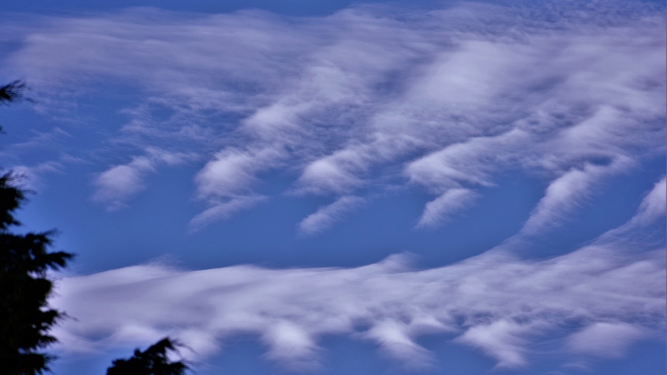
15. Fallstreak holes
These picturesque elliptical holes that can appear in cirrocumulus or altocumulus clouds are caused by tiny water droplets within the cloud that are colder than freezing but have yet to turn to ice. Once a triggering event such as a plane flying through the clouds causes the supercooled droplets to start freezing, they rapidly crystalize and fall, leaving a hole in the cloud layer.
16. Atmospheric blocking
Global weather patterns are closely connected to four powerful bands of winds known as jet streams that flow in a wave pattern around the Earth. When jet streams are congested or split, atmospheric blocking is said to have occurred. These events can lead to prolonged periods of weather extremes. Scientists associated atmospheric blocking to observations in 2014 of heavier than normal snow in the Midwest and Northeast as well as severe drought conditions in the West. The historic droughts in California were linked to an atmospheric block nicknamed “the ridiculously resilient ridge.”
[in-text-ad]
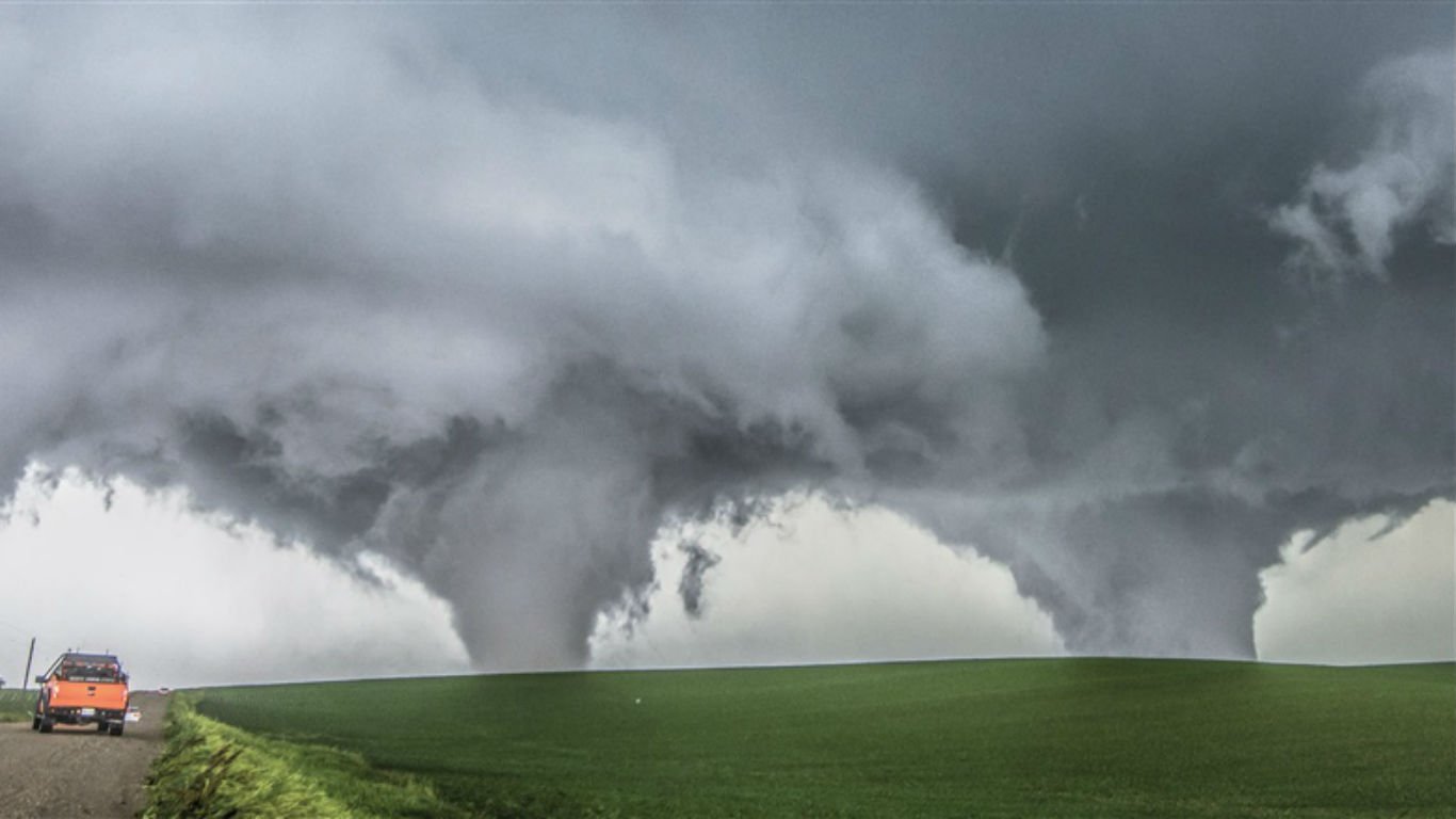
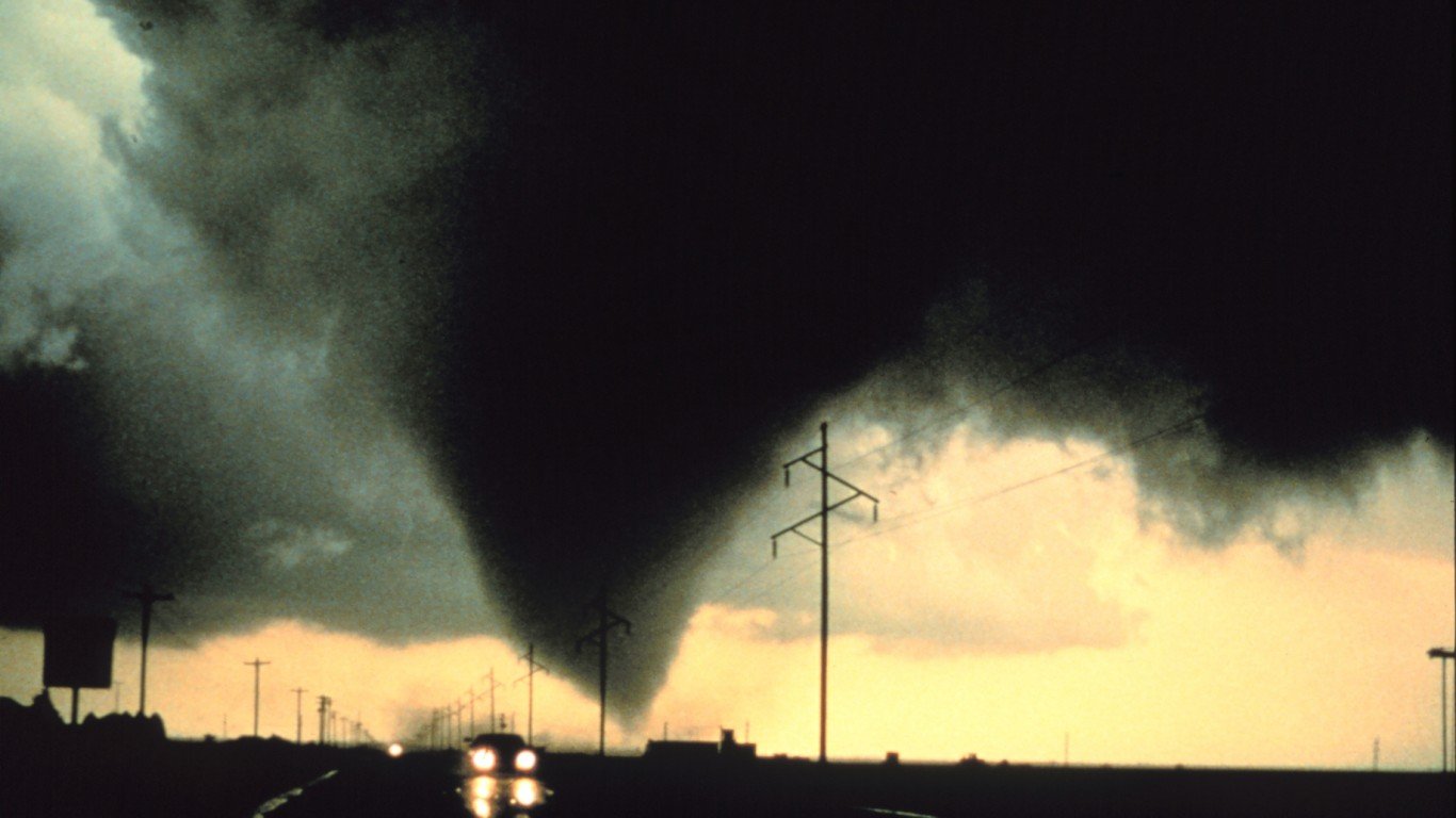
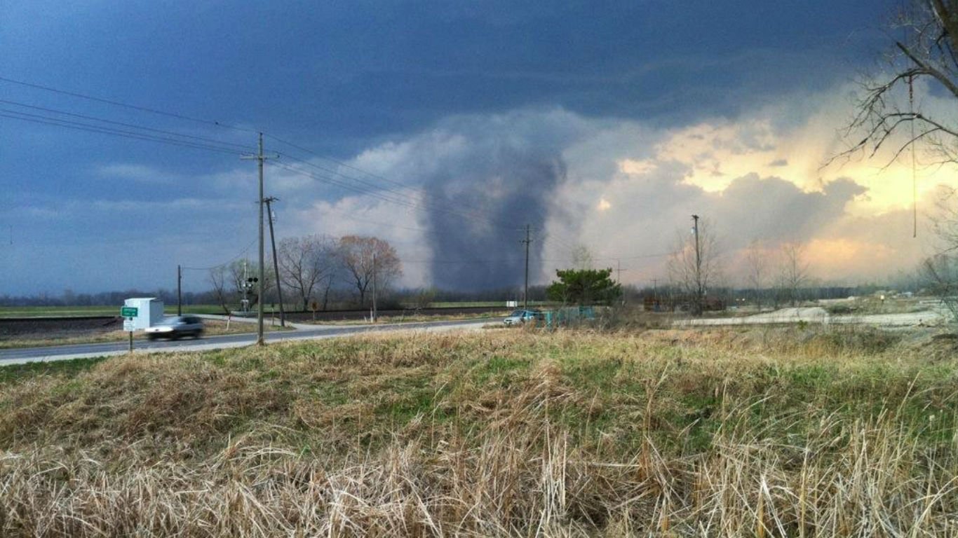
17. Twin tornadoes
With about 1,200 occurrences every year, tornadoes are relatively common weather events in the United States. While it is also normal for clusters of tornadoes to form at a time, multiple smaller vortexes almost always combine or orbit a single parent tornado. For more than one tornado of a sizable magnitude to coexist, conditions have to be unusually balanced. This dangerous and rare phenomena occurs on average once every 10 to 15 years.
[recirclink id=824608]
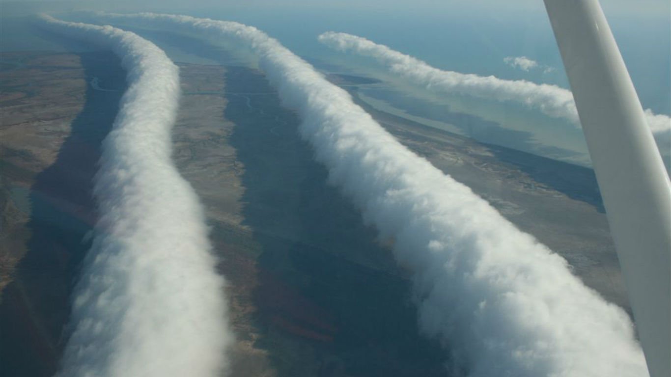
18. Morning glory
Morning glories resemble elongated roll clouds, and often occur in a series or wave succession. Formations are typically spotted during the morning, when atmospheric conditions are relatively stable. Morning glory clouds form in the Gulf of Carpentaria region of northeastern Australia.
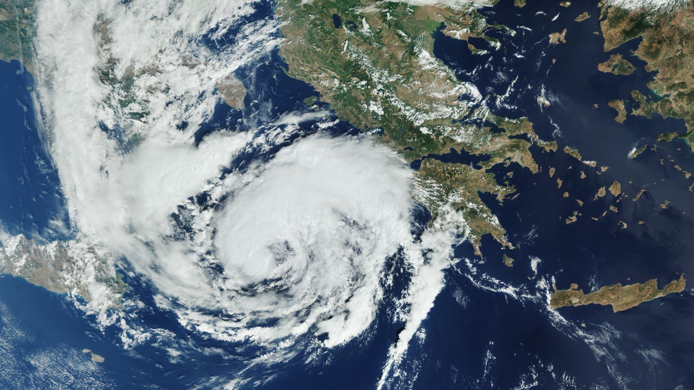
19. Medicanes
A portmanteau of Mediterranean hurricanes, medicanes are among the rarest weather phenomenon. These rare cyclones form when a non-tropical storm comes into contact with the warmer temperatures over the Mediterranean.
Fewer than 100 tropical cyclones were discovered in the Mediterranean Sea between 1948 and 2011 and no definitive trend in activity has been detected in that period.
[in-text-ad-2]

20. Nacreous clouds
Rare but made more common by climate change, nacreous or noctilucent clouds form from ice crystals and methane at high altitudes. Nick-named “mother of pearl” clouds, they appear in temperatures of approximately negative 110 F. The ice crystals refract light, producing a glimmery, iridescent look. According to NOAA, it is likely that these weather phenomena did not exist before 1885.
21. Tubular clouds
Tubular clouds, a type of arcus cloud also known as roll cloud, form low and horizontally in the sky. They tend to form along the edges or in the downdrafts of thunderstorms. While relatively rare and ominous-looking, these clouds are not usually a sign of dangerous weather.
[in-text-ad]
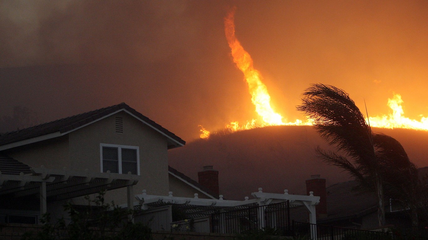
22. Fire whirl
Fire whirls, also known as fire tornadoes, are a bizarre and frightening weather phenomenon sometimes encountered by those fighting wildfires. These rare events are created from the high heats in large fires. Fire whirls are relatively uncommon with just a handful of officially documented instances in the last few decades.
Contact [email protected] for any questions or corrections.