Sometimes it can be challenging to imagine, but our world has existed for millennia. Empires have risen and fall; countries have developed, then been swallowed alive by the ocean. Unless ocean levels fluctuate and certain nations emerge from the depths — which may not necessarily be off the table at some point in our future — there are entire areas, cultures, peoples, and histories we cannot possibly understand. For other nations, their existence was inhibited or depleted by changing borders. These countries have reshaped our maps — by erasing themselves, and expanding the territories of other countries. (All these countries were once part of the largest land empire in history.)
We tend to believe that the places we know, love, and live will be around forever. That we’ll somehow be preserved within these spaces, and that people from the future can look back and understand us as we exist today. But a look at history shows that this just isn’t true. Permanence isn’t as much a reality as it is a dream — these nations prove that. To identify the countries that have been wiped off the map, 24/7 Wall St. explored historical websites and archives, as well as looked into Gideon Defoe’s book The Atlas of Extinct Countries. We ranked the nations in alphabetical order. Take a look and see — do you know any of the countries that history and time forgot?
Why You Should Know Our World’s History

Our world and its layout have not always looked the same. Through the expansion of many historical empires, various countries were erased or simply overtaken. Those shifting borders and colonized peoples led to several significant sociopolitical conflicts that still exist — or at least resonate with citizens — today. Learning more about how various contemporary nations were developed also provides a deeper understanding of the numerous historical, political, social, and economic forces at play. Plus, it’s interesting to see what nations remained resilient over time and which simply couldn’t cut it.
Check out the countries that were erased off the map over time:
Austro-Hungarian Empire

The Austro-Hungarian empire was an extremely ethnically diverse country. While this nation existed for only 51 years from 1867-1918, it caused a lot of trouble during that time. The Empire was made up of two states under the rule of one monarch with a unified foreign policy and military structure. World War I began when Austria-Hungary declared war on Serbia. The country was defeated along with the other Central powers: Germany, Bulgaria, and the Ottoman Empire. Austria-Hungary was then split into the separate countries of Austria, Hungary, Czechoslovakia, the new country of Yugoslavia (including Serbia and other territories outside the empire). Portions of its territory went to Poland and Romania.
Czechoslovakia

Czechoslovakia was a Central European country organized in 1918 out of the northern part of the Austro-Hungarian Empire, which (as you just read) was split up at the end of World War I. Nazi Germany annexed it in World War II. After the war, the Soviet Union occupied Czechoslovakia and set up a communist government. This in turn fell to a peaceful revolution in 1989. Four years later, in 1993, Slovakia declared independence and the remaining portion of the country was proclaimed the Czech Republic or Czechia (both acceptable as official names).
This was a relatively peaceful split, though historians do not necessarily agree on the cause of the split. Some surmise that Czechia and Slovakia were simply too different from each other, stemming back to the Austro-Hungarian Empire. Others believe the country’s leaders had political differences.
East and West Germany

Germany united in 1871 but lost large amounts of territory at the end of World War I in 1918. Defeated again in World War II, Germany was again reduced substantially and divided into zones of occupation by the United States, France, the United Kingdom, and the Soviet Union. When the Soviets refused to demobilize, the separate Federal Republic of Germany (West Germany) and the German Democratic Republic (East Germany) were organized in 1949. These lasted until communist East Germany collapsed and the country reunited as Germany in 1990.
East and West Pakistan
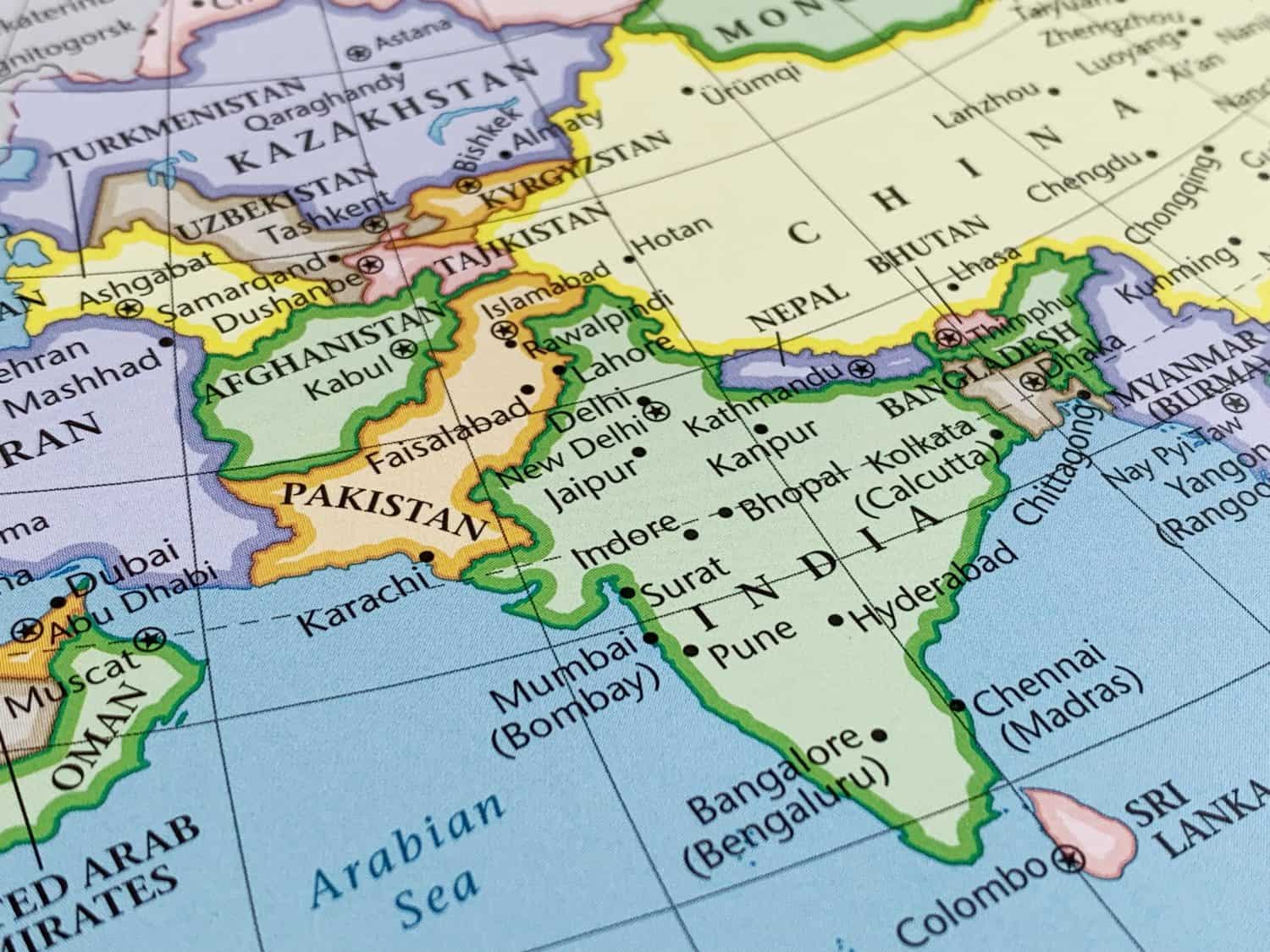
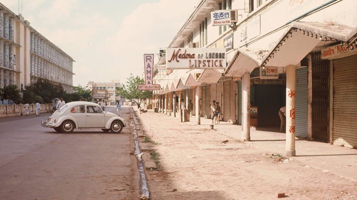
Pakistan was part of the British colony of India. As India moved toward independence, the British divided the subcontinent into the separate countries of India and Pakistan to provide homelands for Hindus and Muslims, respectively. Because there were large concentrations of Muslims on both the northwest and northeast sides of the continent, the Muslim homeland consisted of two parts ruled under one government: West Pakistan and East Pakistan. In 1971 and with Indian assistance, East Pakistan fought for its independence as Bangladesh, while the western part of the country retained the name “Pakistan.”
Federal Republic of Central America

In 1821 Central America declared independence from Spain but was annexed by Mexico a year later. In 1823 it was able to regain independence as a sovereign country: the Federal Republic of Central America. However, the nation later had two civil wars. Historians believe that this was due to a mix of economic difficulties and government instability. In the end, in 1840, it split up into the independent countries of Guatemala, Honduras, El Salvador, Nicaragua, and Costa Rica.
Gran Colombia

Gran Colombia (also known as the Republic of Colombia), a South American country, existed briefly from 1819 to 1831. It was dissolved in 1831 based on regional and political tensions. When Venezuela and Ecuador declared independence, the remaining territory went through several name changes before settling on “Colombia.” At the time, Panama was a part of Colombia but that, too was detached as an independent country at American instigation in 1903 to win favorable terms for building the Panama Canal.
Kingdom of Hawaiʻi
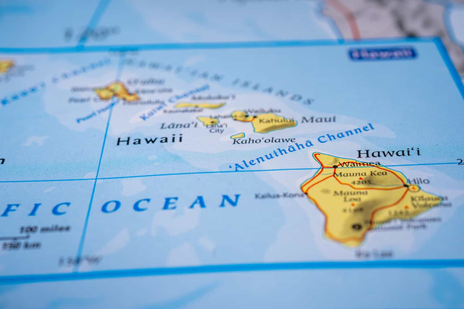
Kamehameha I, the ruler of the island of Hawaii, conquered and unified the remaining islands of the chain into one kingdom. It lasted from 1795-1893. Americans began to settle there and build plantations. To escape American taxation of imports of foreign sugar, American plantation owners, supported by the U.S. military, overthrew the government and succeeded in annexing the country to the United States, where it became a state in 1959.
Korean Empire

After a period of decline and unrest, a unifed Korean Empire was organized and lasted from 1897-1910. Japan annexed the country as a colony from 1910-1945. At the end of World War II the Soviet Union occupied the northern half of the peninsula. This led to the establishment of two new countries: communist North Korea (the Democratic People’s Republic of Korea) and western-oriented South Korea (the Republic of Korea).
North and South Yemen
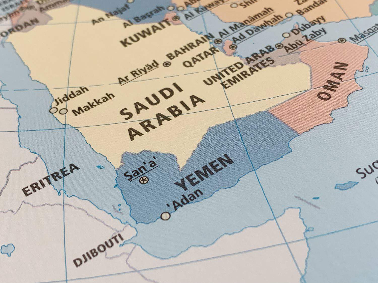
After the collapse of the Ottoman Empire in 1918, Yemen became split. North Yemen became a sovereign nation, while South Yemen remained under control of the British. South Yemen gained its own independence in 1967, and the two countries remained separate between 1967 and 1990. North and South Yemen eventually reunited after South Yemen lost financial support from the collapsing Soviet Union. Today Yemen is embroiled in a civil war and the future unity of the country is not assured.
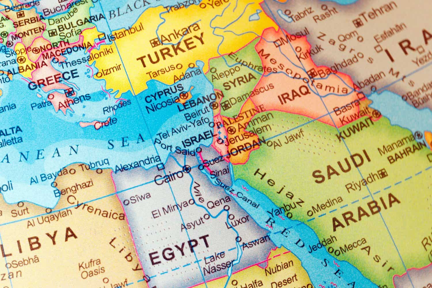
Ottoman Empire
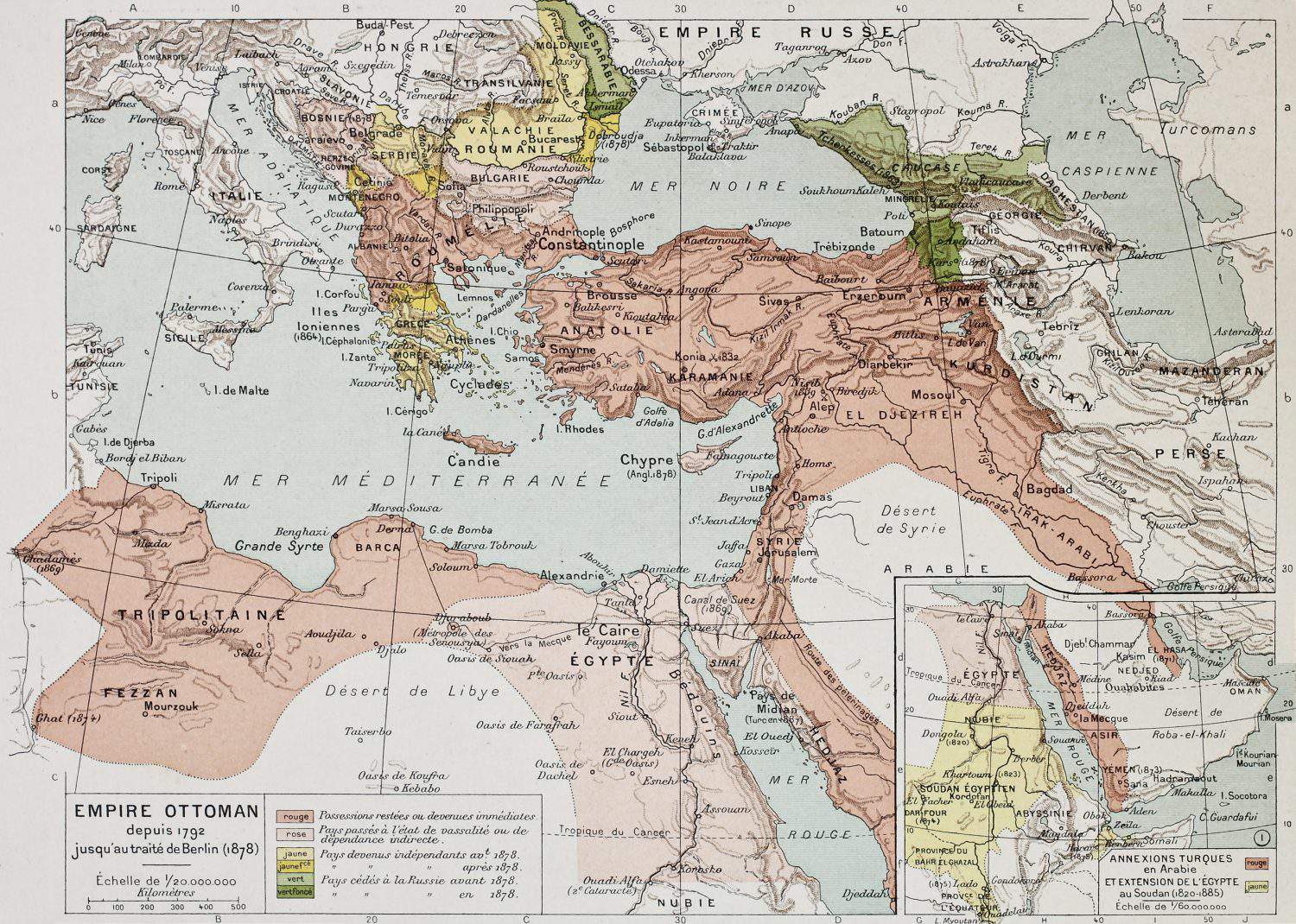
From the 14th through the early 20th century, the Ottoman Empire ruled Southeast Europe, much of the Middle East, and coastal North Africa from its capital, Istanbul. It gradually lost its more far-flung territories to independence movements and colonization by other countries. The country was on the losing side of World War I and subsequently, in 1918 it was divided into several countries. The Ottomans ruled all of what is today Turkey, Bulgaria, Greece, North Macedonia, Albania, Montenegro, Kosovo, Serbia, Bosnia and Herzegovina, Israel, Lebanon, Syria, and Kuwait. They controlled parts of what are today Iraq, Saudi Arabia, Egypt, Sudan, Eritrea, Djibouti, Libya, Tunisia, Algeria, Iran, Georgia, Armenia, Azerbaijan, Russia, Ukraine, Moldova, Romania, Croatia, Hungary, and Austria.
Prussia
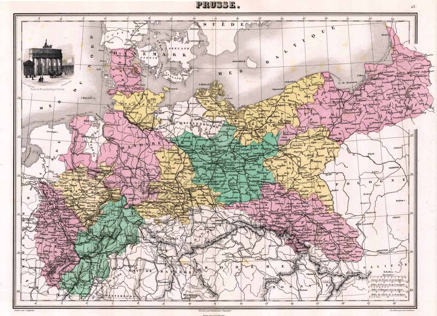
Prussia was a German state, and was located mainly in what is today multiple countries: northern Germany, western and northern Poland, and Lithuania. The nation originated in an areas ruled by the Teutonic Knights and was organized as a country in the 16th century. It unified with 38 other states in 1871 into Germany, under Prussian leadership.
Republic of Texas
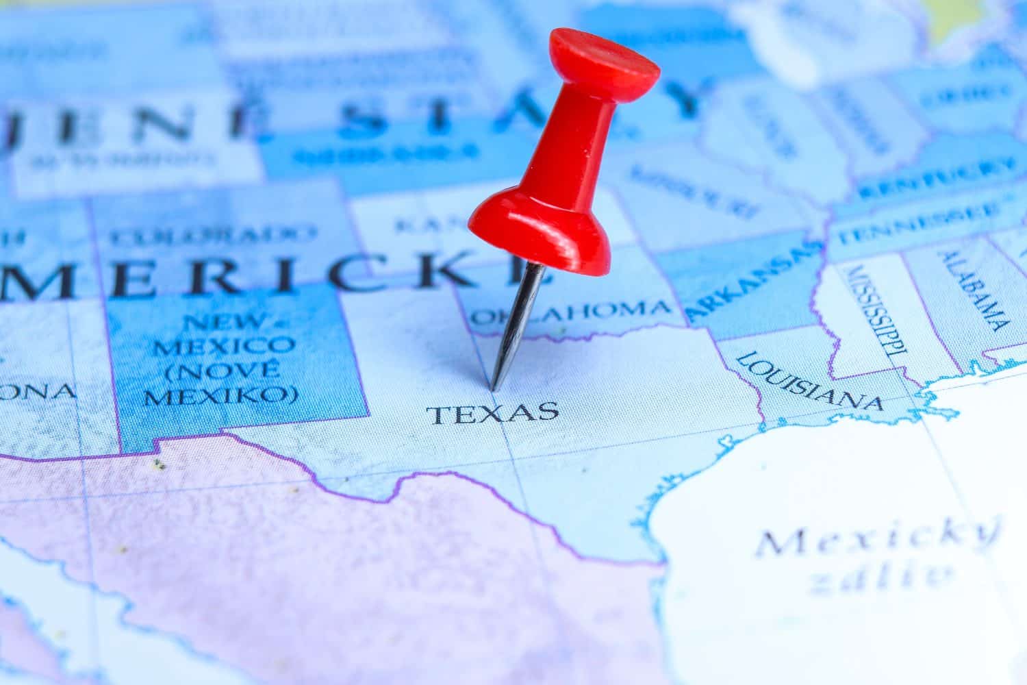
In the early 1800s Mexico allowed Americans to begin settling in the northeastern part of their country. When Mexico tried to tax the increasing numbers of settlers, they rebelled and declared the independent Republic of Texas, which existed for 9 years from 1836-1845. Subsequently, Texas was annexed by the United States and became a state.
Sikkim

This Himalayan kingdom between Nepal and Bhutan was first founded in the 17th century. Sikkim existed as a sovereign nation under the Namgyal Dynasty until the 19th century. After becoming part of the British Indian Empire in 1890, Sikkim was eventually annexed by India in 1975.
North and South Vietnam
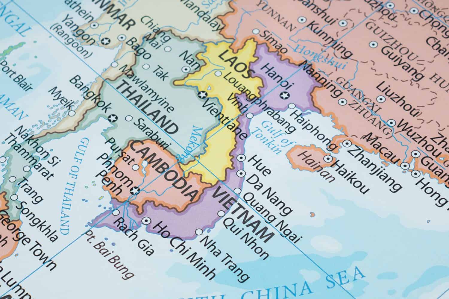
From 1954-1976 Vietnam was divided into a communist North Vietnam and a western-oriented South Vietnam. The two sides went to battle during the Vietnam War. The North ultimately won, and the country was reunited under communist rule. Today, we know the country simply as Vietnam.
Tibet

The Tibetan Plateau is the highest place on the planet, with an average elevation of 14,000 feet. It includes Mount Everest, which at 29,000 ft. above sea level is the Earth’s highest mountain. Tibet developed a culturally distinct version of Buddhism led by the Dalai Lama. An independent empire existed there starting in the 7th century. Tibet ruled itself until 1951 when it was invaded and annexed by the People’s Republic of China. The Dalai Lama now lives in India and is the spiritual leader of nonviolent resistance to Chinese rule of Tibet.
Union of Soviet Socialist Republics (USSR)

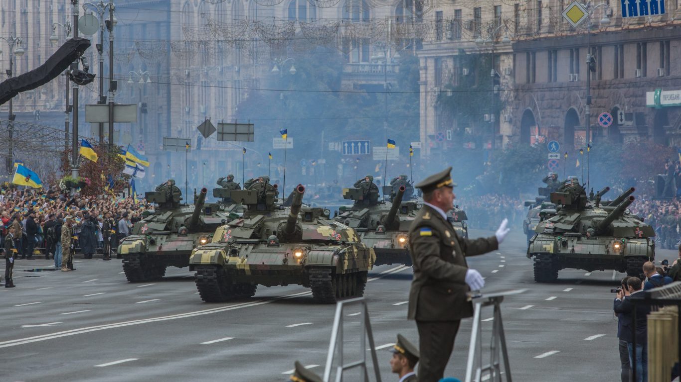
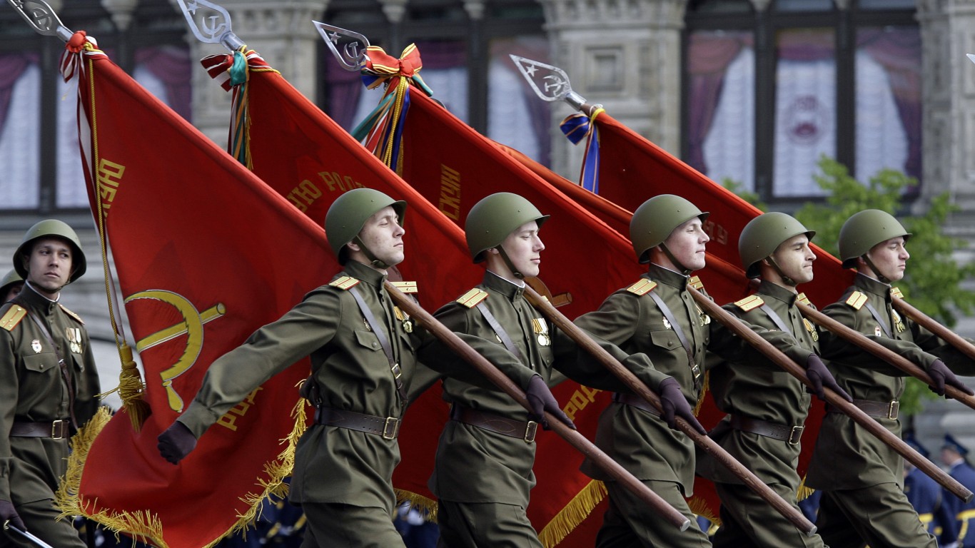
Also known as the Soviet Union, the USSR was the communist government organized on the territory of the Russian Empire after the Bolshevik revolution in 1917. It existed until 1991, when the collapse of the government broke the country up into 15 independent nations: Armenia, Azerbaijan, Belarus, Estonia, Georgia, Kazakhstan, Kyrgyzstan, Latvia, Lithuania, Moldovia, Russia, Tajikistan, Turkmenistan, Ukraine, and Uzbekistan.
United Arab Republic
Syria and Egypt unified as the United Arab Republic in 1958 under the leadership of the charismatic Egyptian president Gamal Abdel Nasser. There were hopes other Arab countries would join in a show of Pan-Arabism that would’ve united the region, but this did not materialize. Syria left the union in 1961.
Yugoslavia

This Balkan country existed from 1918-1992. It was formed at the end of World War II from remnants of the Austro-Hungarian Empire and some smaller countries. It became communist after World War II, but was able to retain its independence from the control of the Soviet Union. With the collapse of communism across Europe in the late 80s and early 90s, Yugoslavia fought several brutal civil wars. This ultimately resulted in the country breaking up into several independent nations: Slovenia, Croatia, Bosnia and Herzegovina, Montenegro, Kosovo, Serbia, and North Macedonia.
Zanzibar and Tanganyika

Prior to 1964, the East African country of Tanzania existed as two separate countries: Zanzibar and Tanganyika. The latter was a German colony until the British took it over after World War I. Some readers might be interested to know it was the setting for the classic film African Queen starring Humphrey Bogart and Katherine Hepburn. Zanzibar was an Islamic sultanate that the British took over as a protectorate in order to force the abolishment of the thriving slave trade centered there. Tanganyika became independent in 1961 and the People’s Republic of Zanzibar in 1964. Just six months later, Zanzibar united with Tanganyika into the country now known as “Tanzania” to incorporate the names of both.
Contact [email protected] for any questions or corrections.