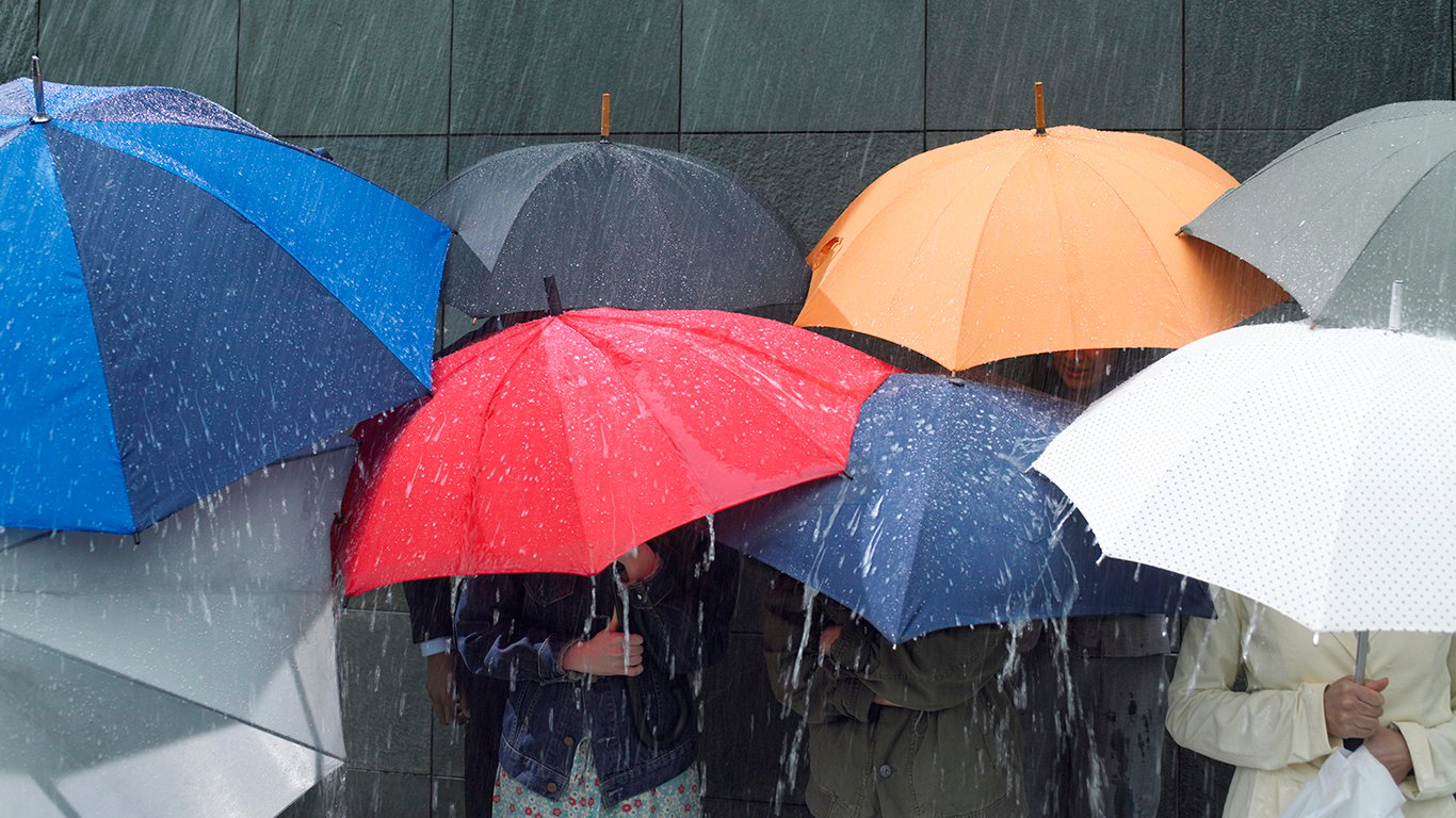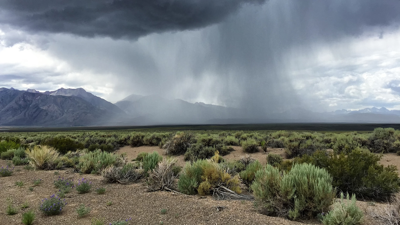
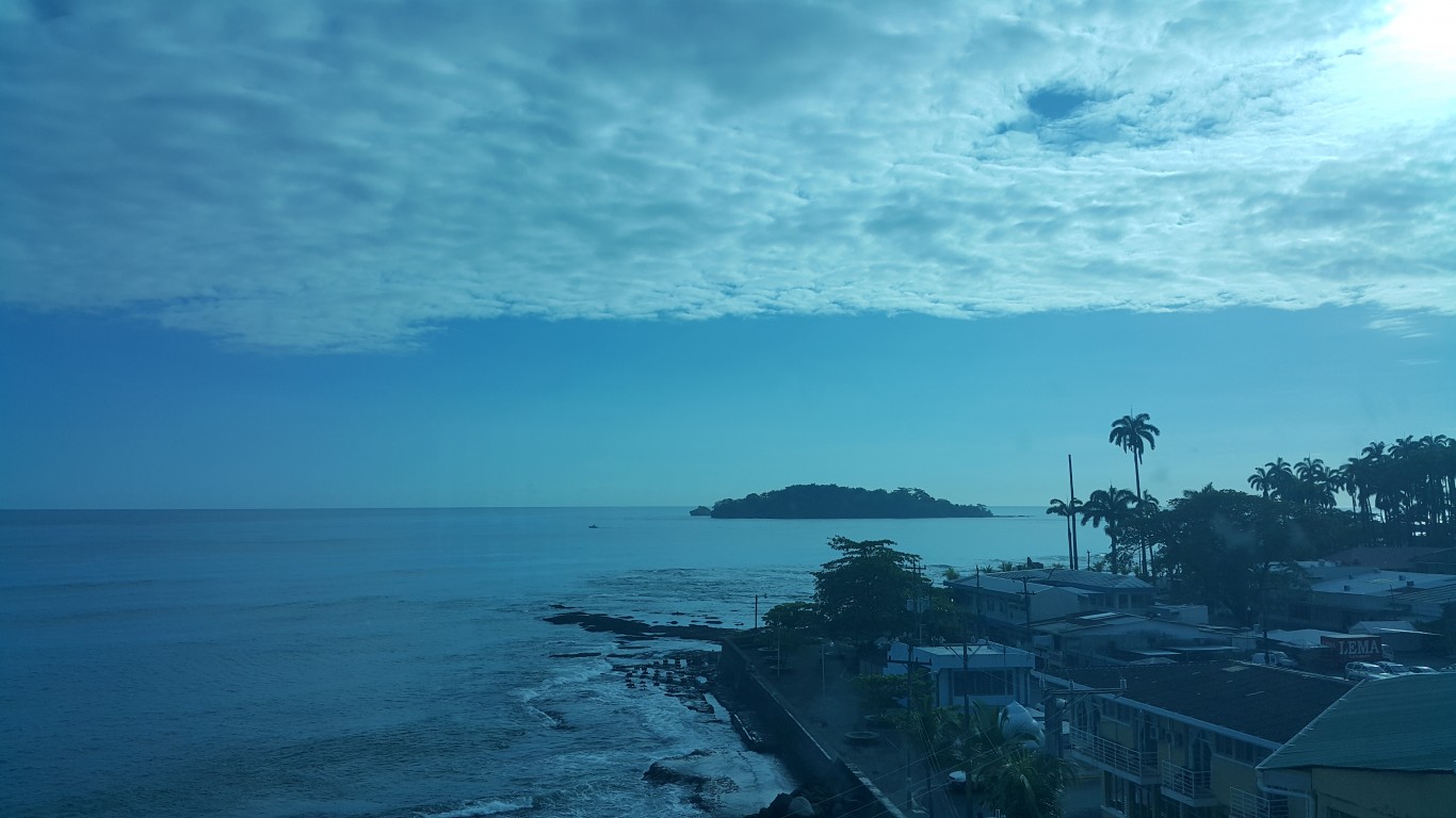
About 71% of the Earth’s surface is covered in water, making it an especially wet planet. In addition to the oceans, rivers, and lakes, water exists in the air in the form of water vapor. Because of the water cycle, this vapor at times condenses and returns to the Earth’s surface as rain.
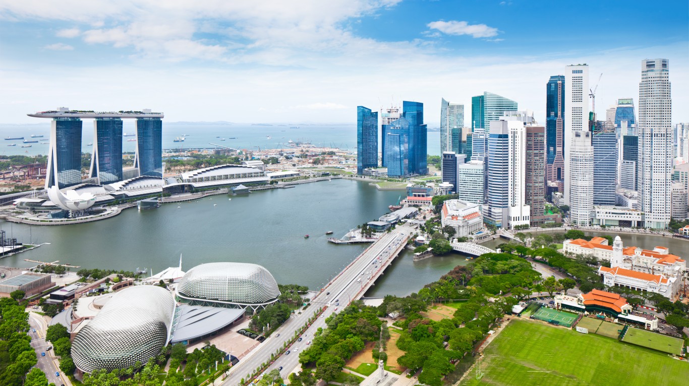
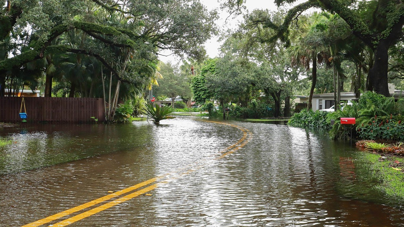
While rain is common across most of the globe, certain places receive far more rainfall than average. This poses serious problems in some areas, as excess rain can lead to flooding, landslides, and other issues. It can be especially damaging to areas at low elevation already at risk from rising sea level. Here are the cities that will soon be underwater.
To identify the rainiest places on Earth, 24/7 Wall St. reviewed average annual rainfall recorded by weather stations around the world and compiled by the Global Historical Climatology Network, a program of the U.S. National Centers for Environmental Information (NCEI).
We calculated the average annual rainfall from precipitation in the years 1997 through 2018. Weather stations that did not have at least five years of data available between 1997 and 2018 were not considered.
Click here to see the rainiest places on Earth.

50. Quillayute, WA, USA
> Annual average precipitation (22 yrs): 103.0 inches
> Rainiest year in database: 1999, 131.6 inches
> Rainiest month on average: November, 15.9 inches
Quillayute is located in the northwest corner of Washington state, just west of Olympic National Park. It’s approximately nine miles from Forks, Washington, which holds an annual RainFest in April.
[in-text-ad]
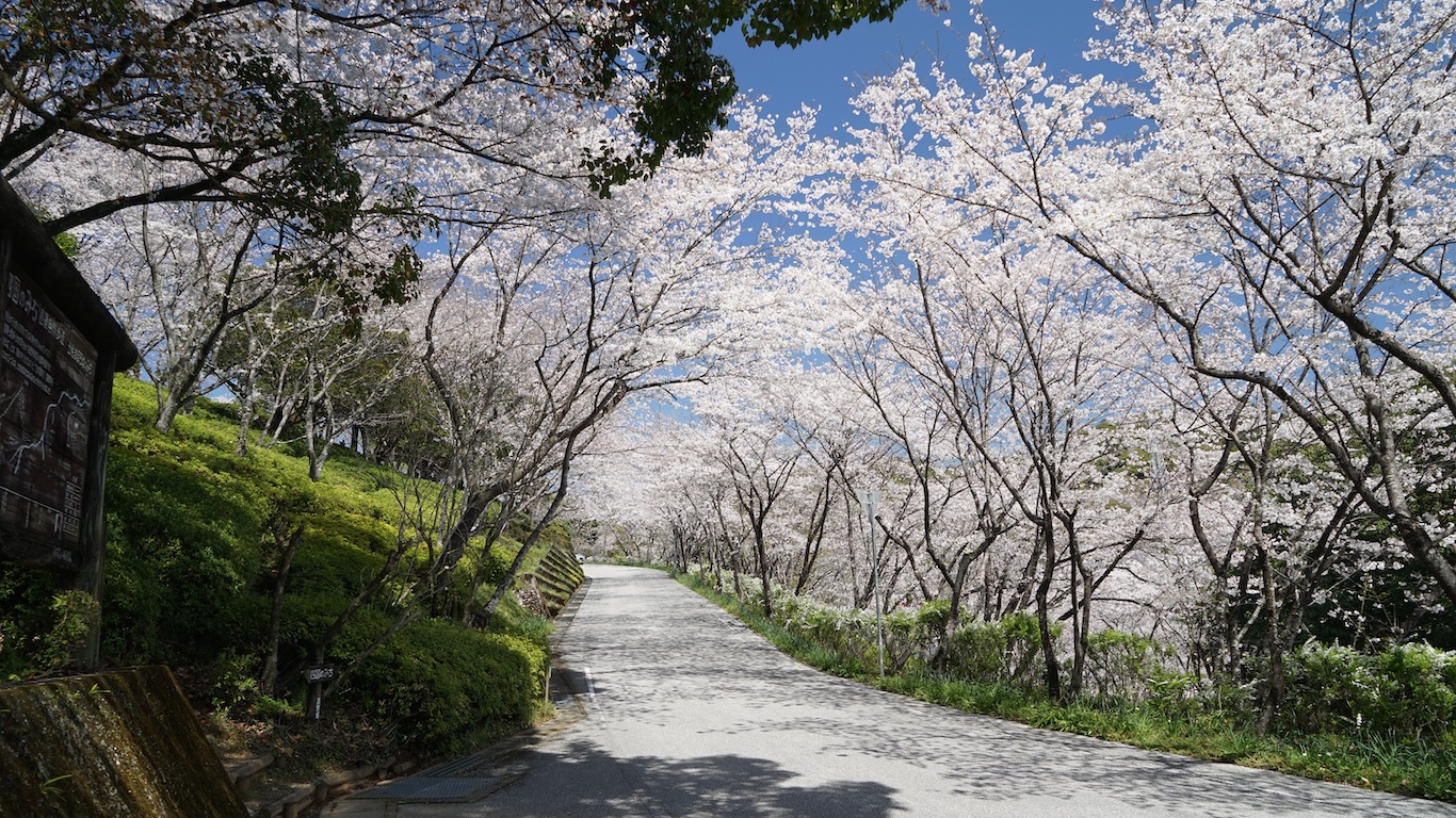
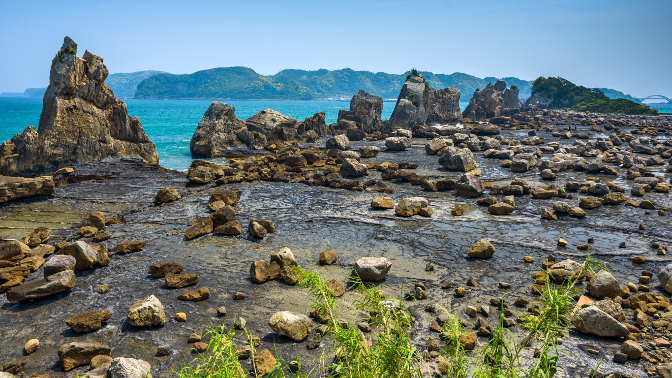
49. Miyazaki, Japan
> Annual average precipitation (22 yrs): 104.3 inches
> Rainiest year in database: 2015, 125.8 inches
> Rainiest month on average: June, 20.7 inches
The coastal city of Miyazaki is among Japan’s rainiest places. In the summer of 2019, summer being Miyazaki’s rainiest season, flooding caused in part by torrential rains forced thousands to evacuate the area.
[recirclink id=606742]
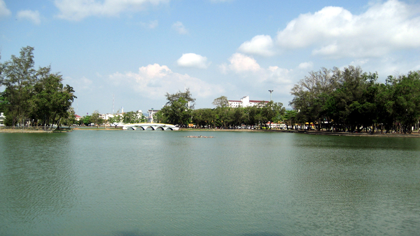
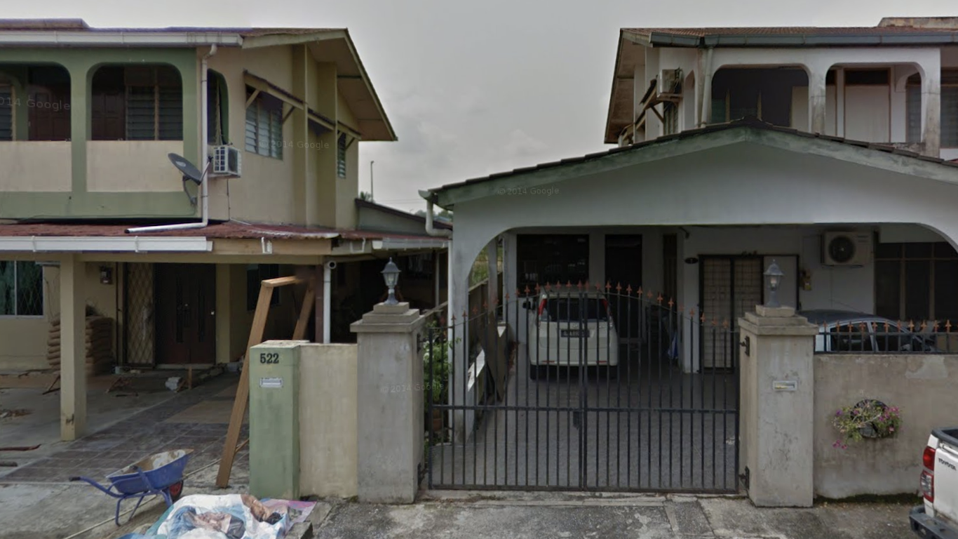
48. Pengkalan Chepa, Malaysia
> Annual average precipitation (22 yrs): 104.5 inches
> Rainiest year in database: 2000, 144.1 inches
> Rainiest month on average: November, 25.0 inches
Malaysia is known for its wet weather, and nine of the 50 rainiest places on Earth are located there. The town of Pengkalan Chepa — in the district of Kelantan — is among these, with an average of 104.5 inches of rainfall per year. Though 2000 was the area’s rainiest year, it experienced extensive flooding in 2014.
47. Nankoku, Japan
> Annual average precipitation (16 yrs): 104.9 inches
> Rainiest year in database: 1998, 172.6 inches
> Rainiest month on average: September, 18.7 inches
Located in Japan’s Kōchi Prefecture, the coastal city of Nankoku is among that nation’s rainiest. Torrential downpours triggered evacuation advisories in the city as recently as October of 2019.
[in-text-ad-2]
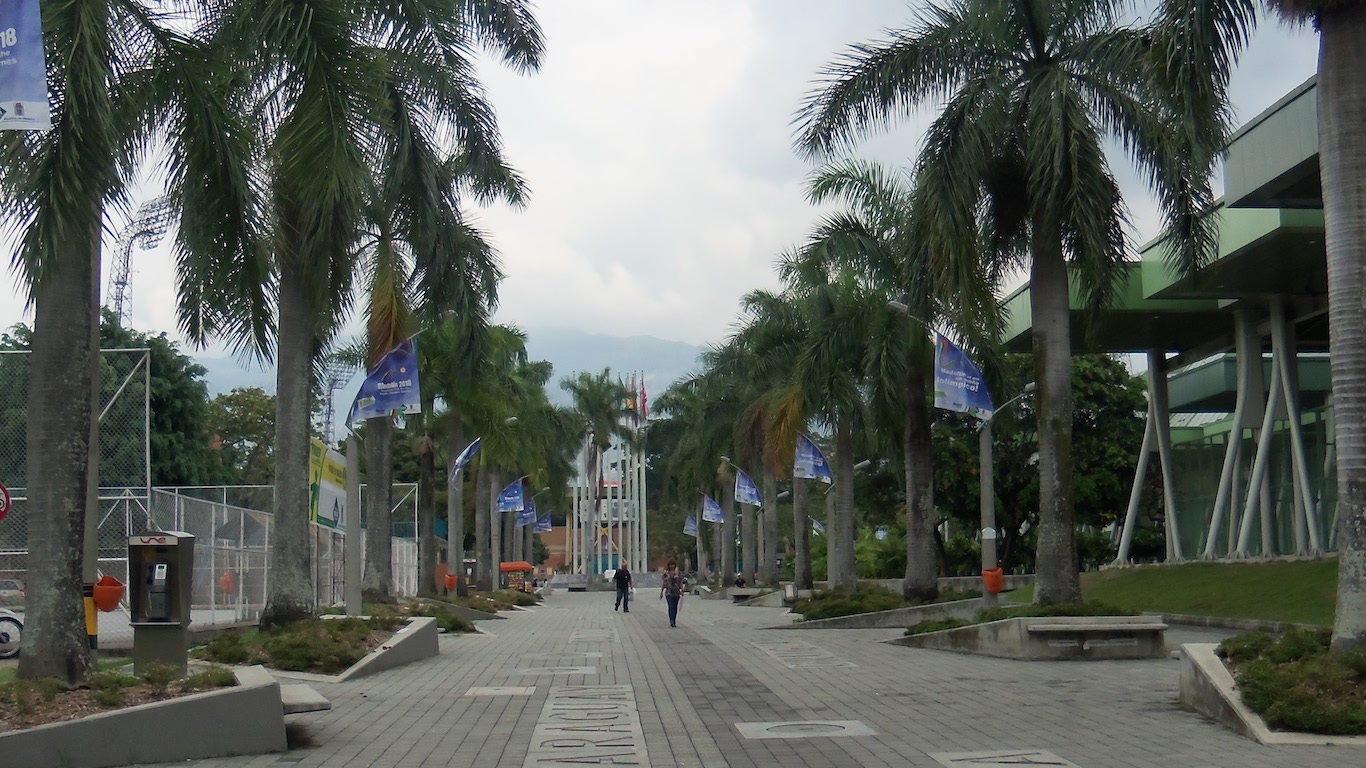
46. Los Laureles, Colombia
> Annual average precipitation (22 yrs): 104.9 inches
> Rainiest year in database: 2010, 148.1 inches
> Rainiest month on average: October, 15.3 inches
Los Laureles is located outside the Colombian city of Barrancabermeja. The area is warm and wet and is susceptible to flooding and landslides during its rainy season, which typically occurs from October to November and April to May.
45. Kota Kinabalu, Malaysia
> Annual average precipitation (22 yrs): 106.4 inches
> Rainiest year in database: 2005, 156.5 inches
> Rainiest month on average: October, 15.2 inches
Located on the northern coast of Malaysia, Kota Kinabalu is very rainy and very humid. Rain falls throughout most of the year, peaking during the North East Monsoon season from October to February.
[in-text-ad]
44. Nausori, Fiji
> Annual average precipitation (22 yrs): 106.8 inches
> Rainiest year in database: 1999, 140.3 inches
> Rainiest month on average: December, 14.4 inches
Nausori is a town located in the island nation of Fiji. Its rainy season spans from November to April, during which it is also more likely to experience cyclones.
[recirclink id=573037]
43. Kushimoto, Japan
> Annual average precipitation (22 yrs): 106.9 inches
> Rainiest year in database: 1998, 138.5 inches
> Rainiest month on average: June, 14.9 inches
Kushimoto is located on the southern end of Japan’s Wakayama Prefecture and includes the southernmost point of Honshu Island. It rains an average of more than 131 days per year in Kushimoto and the town is at risk of damage from typhoons.
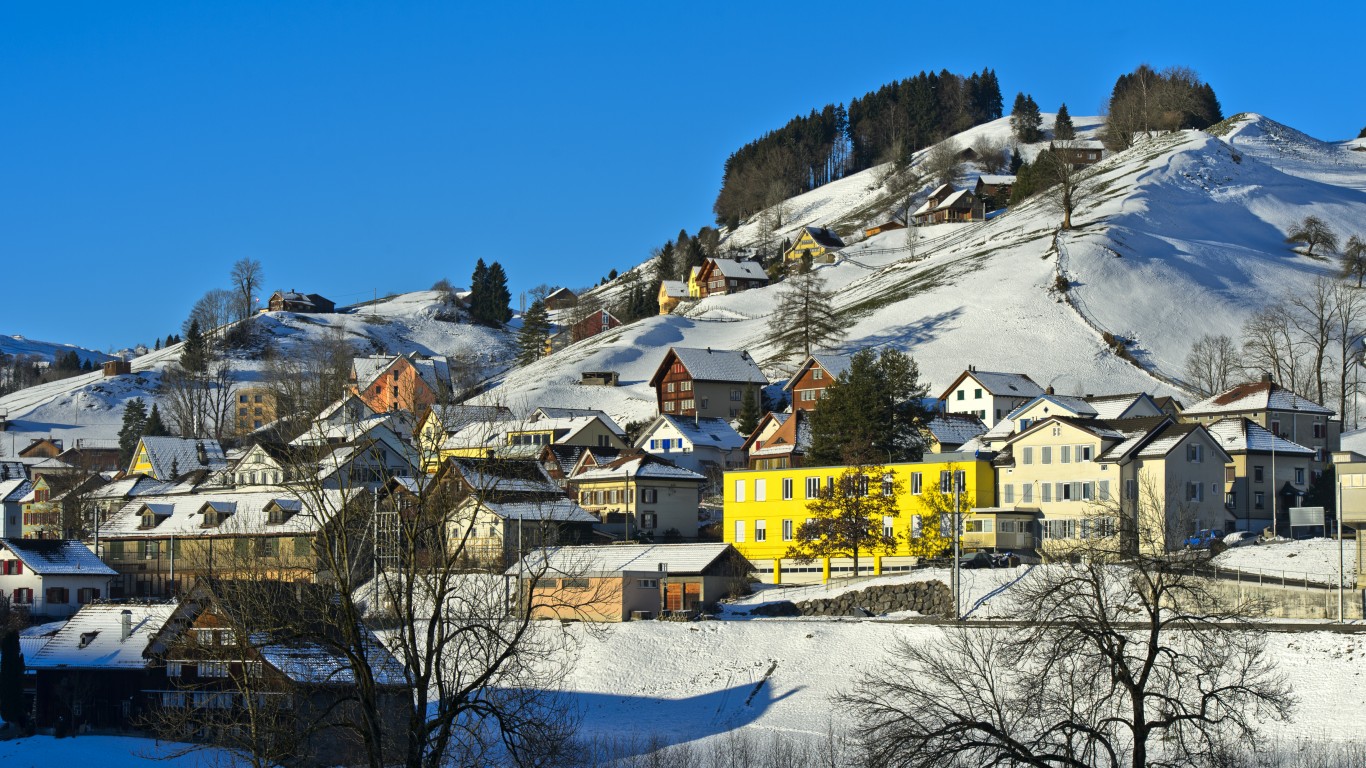
42. Urnäsch, Switzerland
> Annual average precipitation (22 yrs): 107.9 inches
> Rainiest year in database: 2017, 140.1 inches
> Rainiest month on average: December, 11.9 inches
Located at the foot of Switzerland’s Säntis mountain, Urnäsch has the highest elevation among the rainiest places on Earth, at 2,496 meters (8,189 feet). The village has received more rainfall in recent years, with 2017 the rainiest among 22 years of data.
[in-text-ad-2]
41. Saint Georges, French Guiana (France)
> Annual average precipitation (8 yrs): 108.0 inches
> Rainiest year in database: 2000, 162.0 inches
> Rainiest month on average: May, 23.4 inches
Saint Georges is located in South America along the Oyapock River, which borders Brazil. On average, the area receives more than 23 inches of rain in May, its rainiest month.
40. Silchar, India
> Annual average precipitation (22 yrs): 109.1 inches
> Rainiest year in database: 2010, 174.6 inches
> Rainiest month on average: June, 20.4 inches
Silchar is located in the Indian state of Assam along the Barak River. The municipality has a tropical climate and receives the most amount of rain during May, June, and July.
[in-text-ad]
39. Wat Mai, Thailand
> Annual average precipitation (22 yrs): 109.3 inches
> Rainiest year in database: 2006, 153.9 inches
> Rainiest month on average: September, 19.8 inches
Wat Mai is one section of the town of Chanthaburi found in eastern Thailand. It has a tropical monsoon climate and is hit by torrential rains throughout the monsoon season, which lasts from May to the end of October. Heavy rains in the area often result in widespread flooding.
[recirclink id=598458]
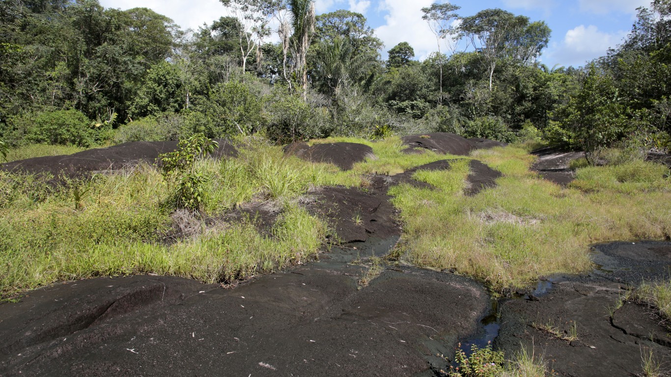
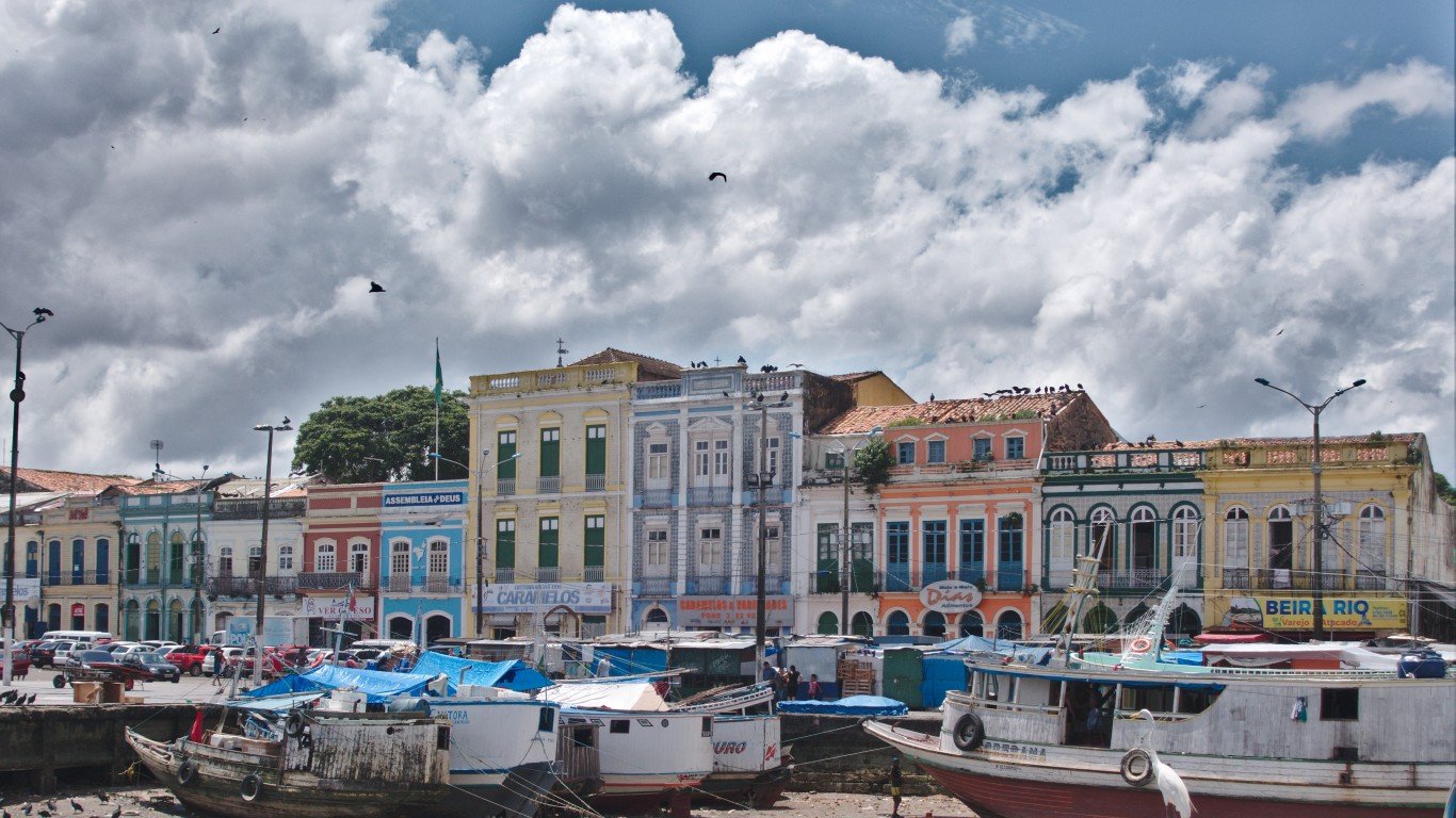
38. São Gabriel da Cachoeira, Brazil
> Annual average precipitation (22 yrs): 110.4 inches
> Rainiest year in database: 2002, 127.2 inches
> Rainiest month on average: May, 14.0 inches
Located along Brazil’s Rio Negro River, São Gabriel da Cachoeira — meaning “Saint Gabriel of the Waterfall” — is the second rainiest city in Brazil. Located near the equator in the Amazon rainforest, it’s hot and humid there. The rainy season lasts from February to July.
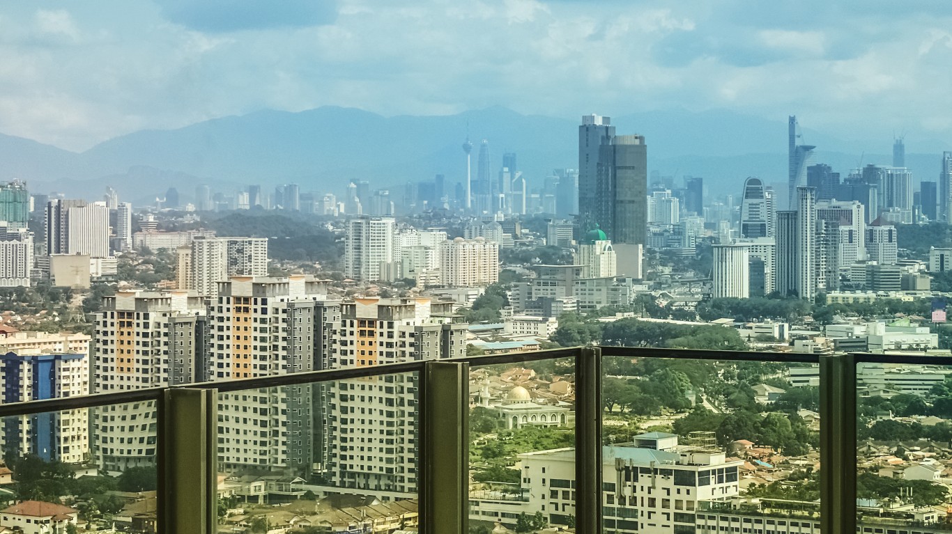
37. Petaling Jaya, Malaysia
> Annual average precipitation (22 yrs): 110.6 inches
> Rainiest year in database: 2006, 136.1 inches
> Rainiest month on average: November, 14.5 inches
Petaling Jaya has developed from a relatively small town into one of Malaysia’s premiere cities in recent years with at least 500,000 residents. Petaling Jaya (often called PJ) and all of Klang Valley, where it’s located, are susceptible to flash flooding.
[in-text-ad-2]
36. Miri, Malaysia
> Annual average precipitation (22 yrs): 111.8 inches
> Rainiest year in database: 2018, 128.7 inches
> Rainiest month on average: December, 13.8 inches
The city of Miri is located on Malaysia’s coast, near the border of Brunei. Its tropical climate brings torrential downpours and sometimes extreme thunderstorms, particularly during monsoon season (mid-November until March) when rain can continue for multiple days.
35. Gough Island
> Annual average precipitation (22 yrs): 113.7 inches
> Rainiest year in database: 1997, 140.8 inches
> Rainiest month on average: June, 13.0 inches
Gough Island is a remote volcanic island in the middle of the South Atlantic. It is subject to extreme weather, including plenty of rain. Luckily, few people are affected by this as the island is uninhabited aside from rotating groups of research scientists.
[in-text-ad]
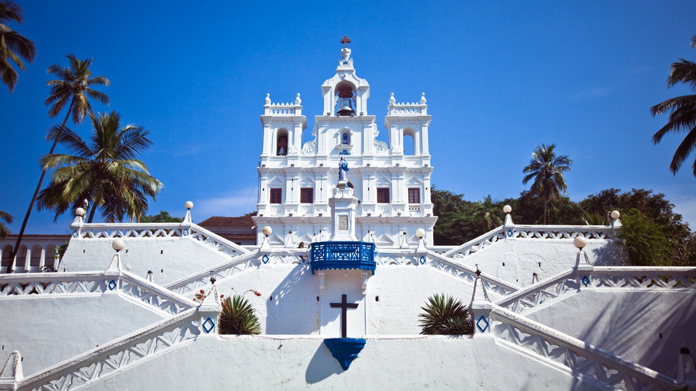
34. Panaji, India
> Annual average precipitation (22 yrs): 113.9 inches
> Rainiest year in database: 2007, 145.3 inches
> Rainiest month on average: June, 36.3 inches
Panaji is the capital of India’s Goa state, located along the Mandovi River where it opens to the Arabian Sea. The city has a tropical monsoon climate, and its rainy season lasts from June until September, bringing heavy precipitation and strong winds. This rain, especially when paired with high tides, has been known to lead to flooding in the area.
[recirclink id=637152]
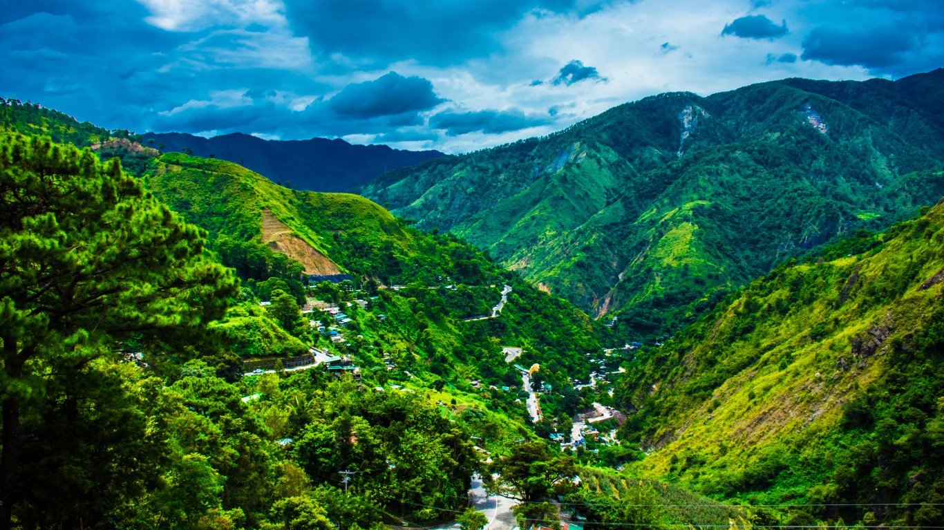
33. Baguio, Philippines
> Annual average precipitation (22 yrs): 114.0 inches
> Rainiest year in database: 2009, 241.6 inches
> Rainiest month on average: August, 36.7 inches
Baguio is a popular summer destination in the Philippines, owing to its high altitude and relatively cool climate. As with many other rainy places, Baguio has a tropical monsoon climate, meaning it has a dry and a rainy season. Rain, triggered by a typhoon, caused five deaths in the city in 2018.
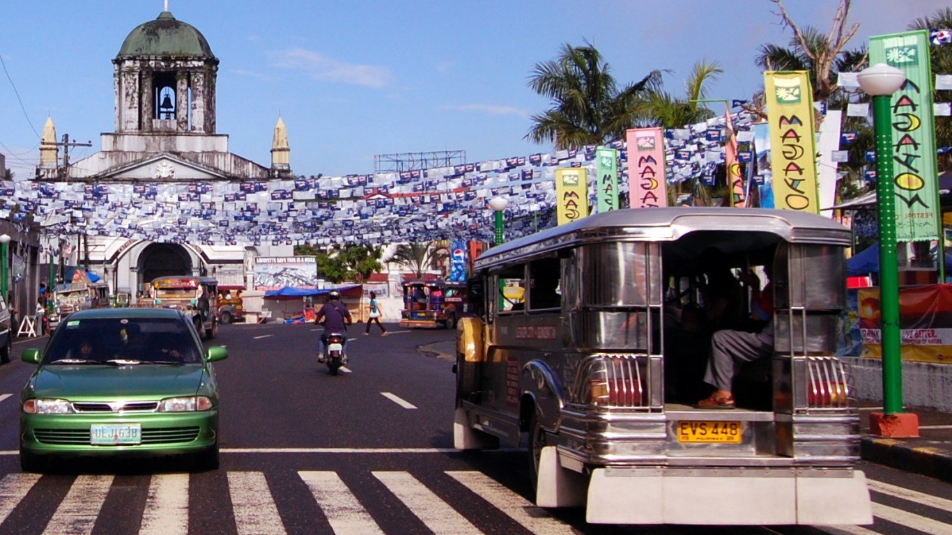
32. Legazpi City, Philippines
> Annual average precipitation (22 yrs): 114.5 inches
> Rainiest year in database: 2008, 168.5 inches
> Rainiest month on average: December, 24.4 inches
Legazpi City is located along an inlet on Albay Gulf in the Philippines. It has a tropical rainforest climate and rain falls year-round. The city is also susceptible to typhoons. A typhoon killed at least four people last winter.
[in-text-ad-2]
31. Surigao, Philippines
> Annual average precipitation (22 yrs): 114.6 inches
> Rainiest year in database: 2017, 174.7 inches
> Rainiest month on average: January, 28.3 inches
Surigao is another city located along the coast of the Philippines, specifically on the northern tip of Mindanao Island. Like Legazpi City, Surigao features a tropical rainforest climate and is rainy throughout the year, even during August, its driest month.
30. Kuantan, Malaysia
> Annual average precipitation (22 yrs): 115.1 inches
> Rainiest year in database: 2003, 149.4 inches
> Rainiest month on average: December, 28.8 inches
Located on the eastern coast of the Malay Peninsula and facing the South China Sea is the city of Kuantan. The city’s climate is classified as tropical rainforest and it has two seasons: one dry and hot and one that is exceptionally wet. The rainy season brings daily thunderstorms and frequent flooding via the Kuantan River.
[in-text-ad]
29. Amami, Japan
> Annual average precipitation (22 yrs): 116.8 inches
> Rainiest year in database: 1998, 173.5 inches
> Rainiest month on average: June, 17.3 inches
Japan’s Amami Islands have a humid subtropical climate, meaning temperatures remain relatively high as does the amount of rainfall throughout the year. The islands are also vulnerable to typhoons, which occur between June (the rainiest month) and October.
[recirclink id=577367]
28. Forks, WA, USA
> Annual average precipitation (10 yrs): 117.2 inches
> Rainiest year in database: 1997, 162.2 inches
> Rainiest month on average: January, 21.0 inches
The city of Forks — where the popular Twilight novels are based — is just east of another location on this list, Quillayute (No. 50), and has a slightly higher elevation. Forks, which is surrounded by Olympic National Park, has a marine west coast climate and it rains there most days of the year.
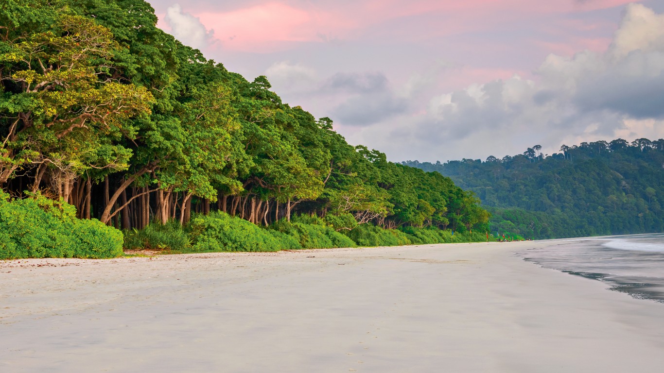
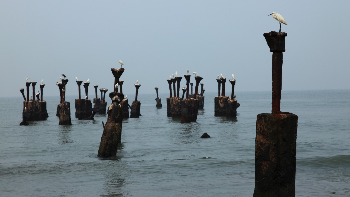
27. Andaman and Nicobar Islands, India
> Annual average precipitation (22 yrs): 118.2 inches
> Rainiest year in database: 2008, 163.5 inches
> Rainiest month on average: September, 19.6 inches
The Andaman and Nicobar Islands, a territory of India, are located between the Bay of Bengal to the west and the Andaman Sea to the east. The islands have a humid tropical climate and receive the southwest monsoon prior to its reaching mainland India. The heaviest rains and storms in the islands are during late summer.
[in-text-ad-2]
26. Kozhikode, India
> Annual average precipitation (22 yrs): 118.3 inches
> Rainiest year in database: 2007, 170.9 inches
> Rainiest month on average: June, 30.9 inches
Also known as Calicut, Kozhikode is located on India’s west coast. It has a tropical monsoon climate and receives the majority of its annual rainfall from the first week of June until September, during the southwest monsoon. At least nine people in Kozhikode died from flooding and landslides in August 2019.
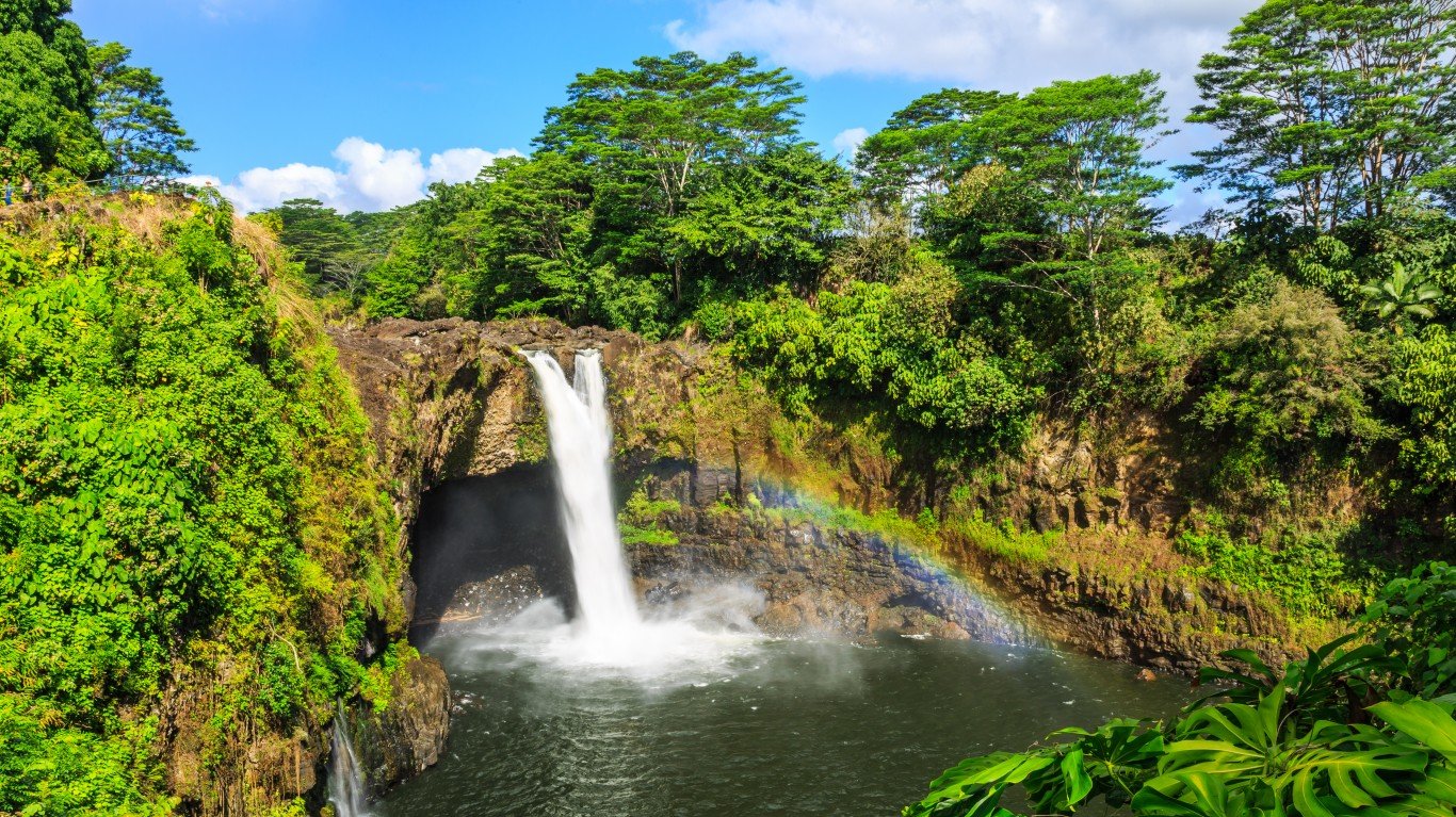
25. Hilo, Hi, USA
> Annual average precipitation (22 yrs): 118.5 inches
> Rainiest year in database: 2018, 172.0 inches
> Rainiest month on average: November, 13.7 inches
Hilo is located on the eastern coast of the island of Hawaii. It features a tropical rainforest climate, with the amount of rainfall varying further inland. There are rarely multiple dry days in a row, with some estimates of there being more than 275 days of rain per year.
[in-text-ad]

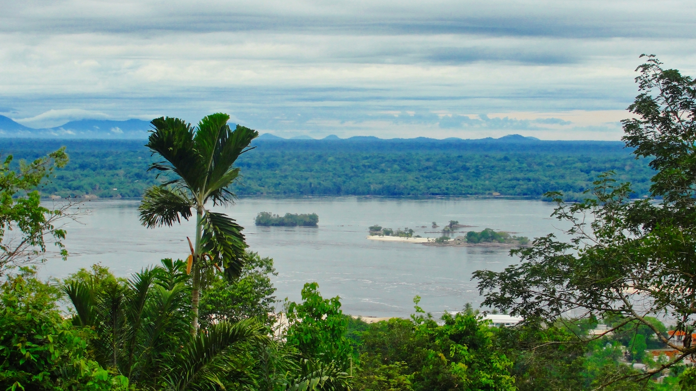
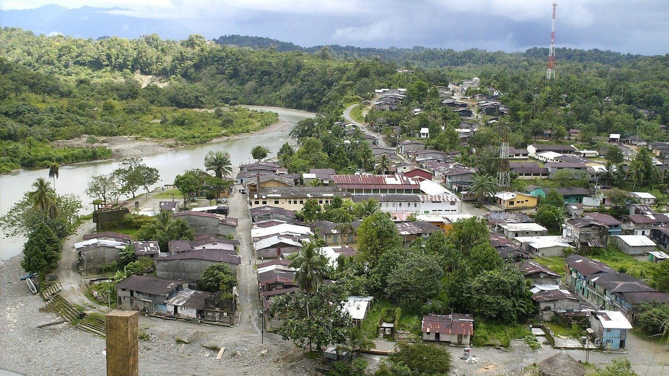
24. Leticia, Colombia
> Annual average precipitation (22 yrs): 119.4 inches
> Rainiest year in database: 2014, 155.0 inches
> Rainiest month on average: January, 15.3 inches
Leticia is situated on the Amazon River in southeastern Colombia. Its tropical rainforest climate — or equatorial climate — ensures that the area is hot and wet year-round, though January is historically the rainiest month.
[recirclink id=589074]
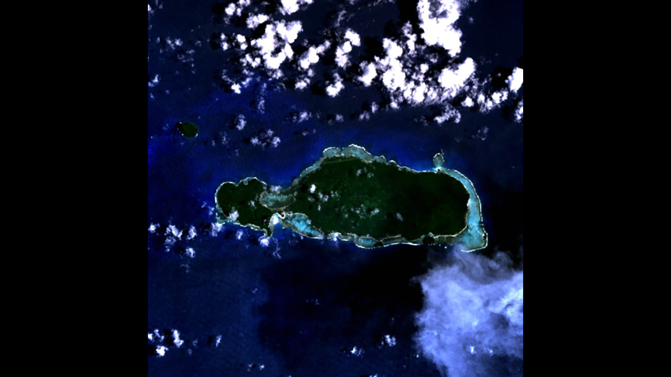
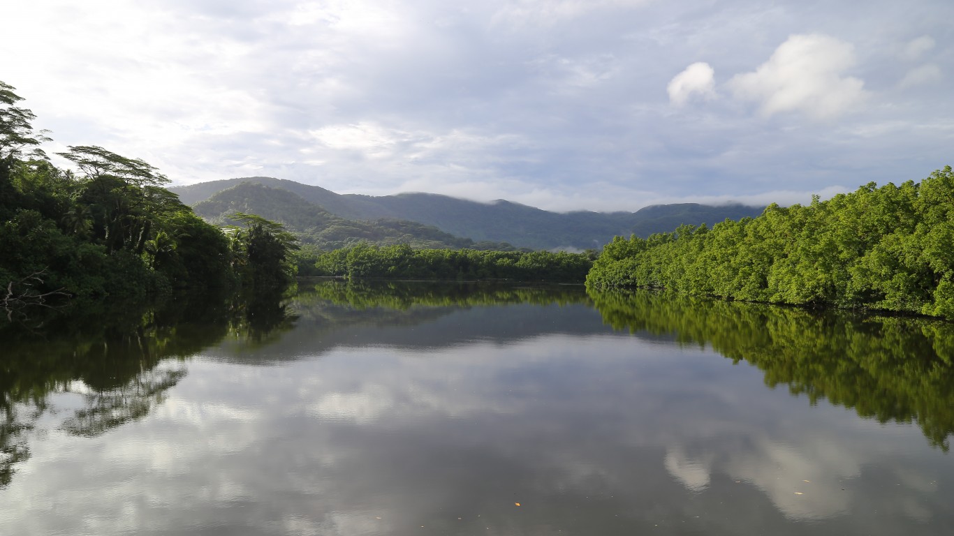
23. Rotuma Island, Fiji
> Annual average precipitation (22 yrs): 120.9 inches
> Rainiest year in database: 2006, 172.4 inches
> Rainiest month on average: January, 14.3 inches
Rotuma Island is a volcanic island in Fiji. Only 18 square miles in size, the island had a population of 1,594 as of 2017. It’s located north of Fiji and is especially rainy due to its latitude. The island has recently suffered from exceptionally heavy rains and flooding due to cyclones.
22. Colonia, Federated States Of Micronesia
> Annual average precipitation (22 yrs): 123.1 inches
> Rainiest year in database: 2011, 158.7 inches
> Rainiest month on average: August, 15.7 inches
Colonia is located on the east coast of Yap Island of the Federated States of Micronesia and is the capital of Yap State. The period from February through April is relatively less rainy, though an above average amount of rainfall does occur during this time compared to most places.
[in-text-ad-2]
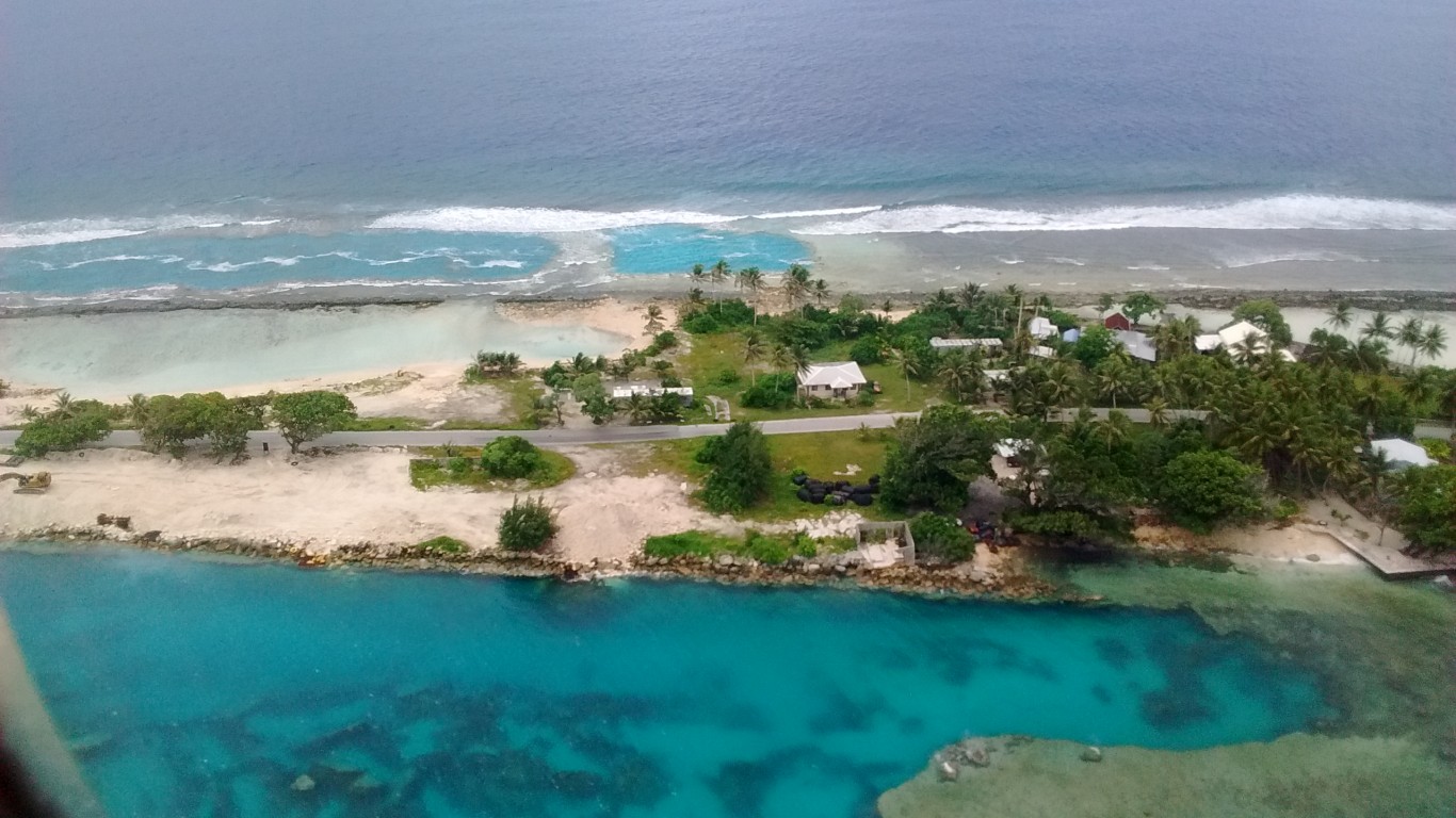
21. Majuro, Marshall Islands
> Annual average precipitation (22 yrs): 124.9 inches
> Rainiest year in database: 2018, 171.7 inches
> Rainiest month on average: October, 13.4 inches
Majuro is the capital of the Republic of the Marshall Islands and has an estimated elevation of just 3 meters (about 10 feet) above sea level. It usually rains there in short, forceful downpours with average precipitation peaking in October.
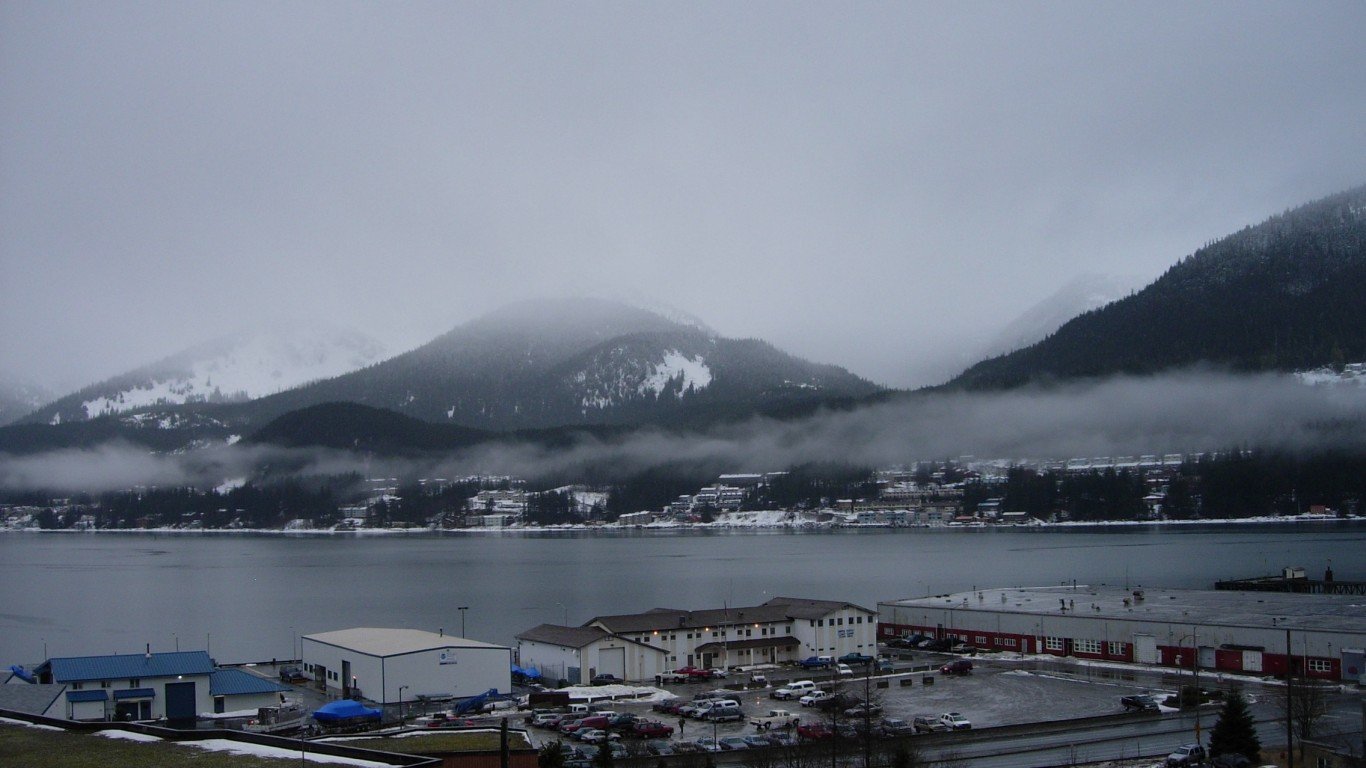
20. Juneau, AK, USA
> Annual average precipitation (22 yrs): 125.1 inches
> Rainiest year in database: 2005, 161.9 inches
> Rainiest month on average: September, 18.5 inches
Alaska’s state capital is extremely cold, with an average January temperature of 27.5 °F. It also has an excess of precipitation, both rain and snow. Juneau is located in Tongass National Forest (a rainforest) and receives an average of 222 days of precipitation.
[in-text-ad]
19. Sandakan, Malaysia
> Annual average precipitation (22 yrs): 126.3 inches
> Rainiest year in database: 2011, 212.5 inches
> Rainiest month on average: January, 18.3 inches
Sandakan is a coastal city in East Malaysia’s eastern Sabah state. The commercial hub has direct exposure to the northeast monsoon and sees the greatest amount of rainfall from November through February. Despite its exceptional wet weather, Sandakan experienced a rare dry spell that lasted from February into April this past year due to El Niño.
[recirclink id=563463]
18. Limón, Costa Rica
> Annual average precipitation (22 yrs): 126.9 inches
> Rainiest year in database: 2004, 178.3 inches
> Rainiest month on average: December, 17.6 inches
Limón — also known as Puerto Limón — is a port and city on the eastern coast of Costa Rica. The area is known for being windy, cloudy, and rainy. Areas in Limón with low elevation are more likely to be dry, while the more mountainous surrounding areas are consistently damper.
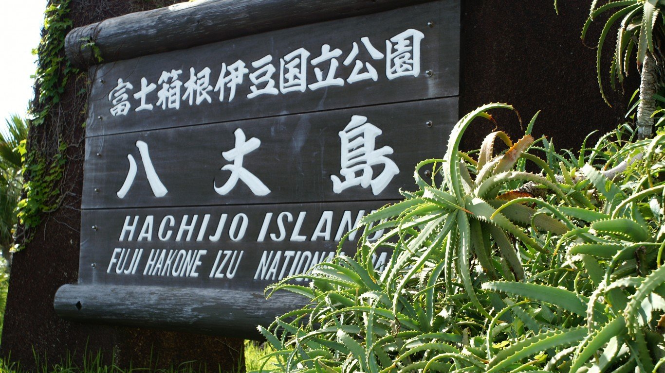
17. Hachijō, Japan
> Annual average precipitation (22 yrs): 127.1 inches
> Rainiest year in database: 1998, 181.4 inches
> Rainiest month on average: October, 16.9 inches
Hachijō is one of the Izu Islands (also referred to as Tokyo Islands) located off Honshu, Japan. All of the islands are relatively rainy, and Hachijō receives an average of more than 127 inches of precipitation per year. It is also vulnerable to typhoons.
[in-text-ad-2]
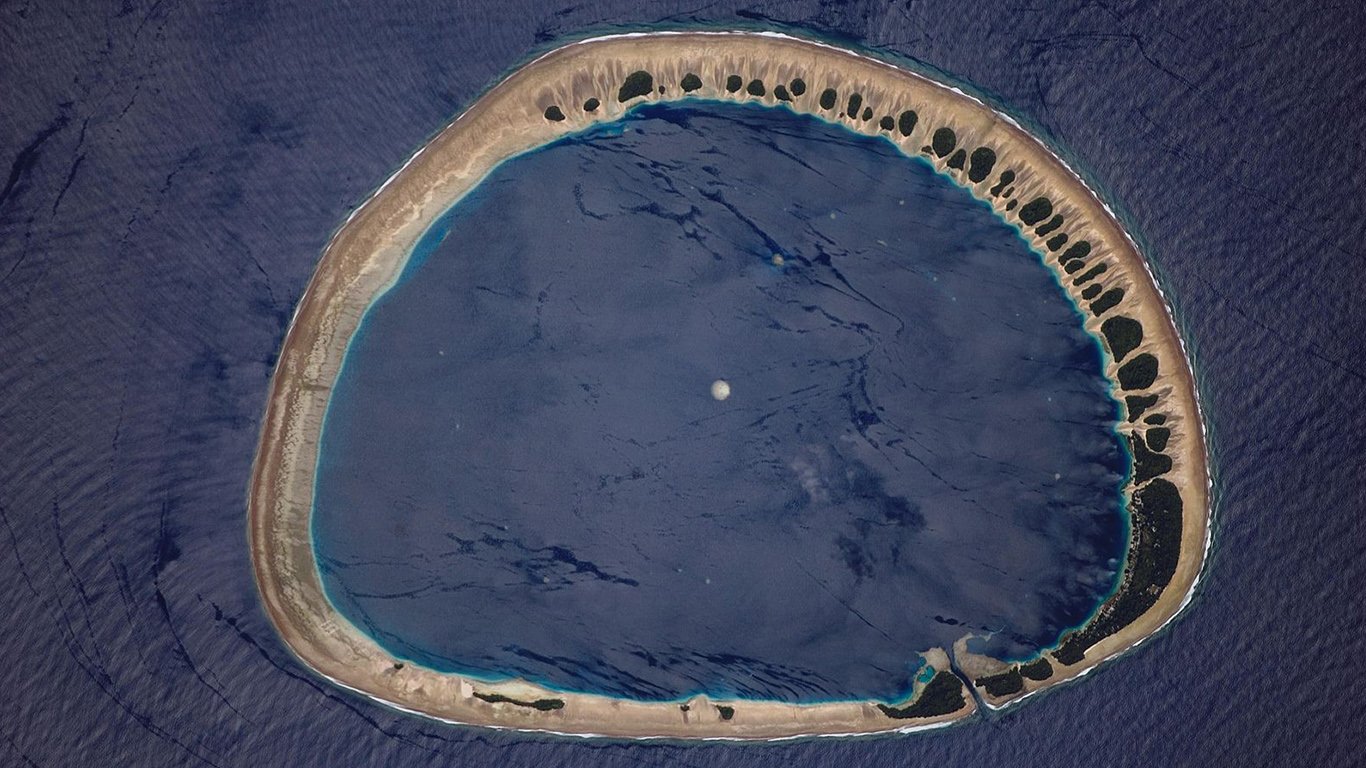
16. Nukuoro, Federated States Of Micronesia
> Annual average precipitation (9 yrs): 128.0 inches
> Rainiest year in database: 1999, 225.1 inches
> Rainiest month on average: March, 16.2 inches
Nukuoro is a coral atoll off the coast of the Micronesian island of Pohnpei with an elevation of just 2 meters (6.6 feet). Because of the low elevation, the remote island, which is home to approximately 900 people, is often in danger of flooding.
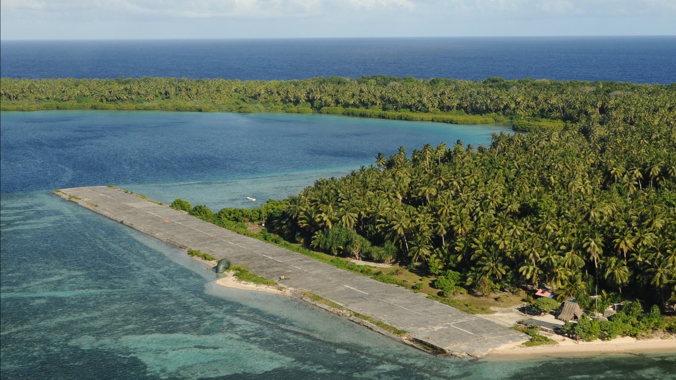
15. Pingelap, Federated States Of Micronesia
> Annual average precipitation (9 yrs): 128.6 inches
> Rainiest year in database: 1999, 220.3 inches
> Rainiest month on average: August, 17.1 inches
Pingelap is another atoll found among the Federated States of Micronesia’s Caroline Islands. Home to 250 residents, it has a tropical rainforest climate, or equatorial climate, and its wetter season extends the majority of the year.
[in-text-ad]
14. Belém, Brazil
> Annual average precipitation (22 yrs): 128.8 inches
> Rainiest year in database: 2018, 150.8 inches
> Rainiest month on average: March, 19.5 inches
Located in northern Brazil, the coastal city of Belém has an equatorial climate with year-round rain. It has high temperatures and humidity all year as well, though residents can find some relief in the breeze off of the water. Flooded roads from the city’s often daily downpours are not uncommon.
[recirclink id=636110]
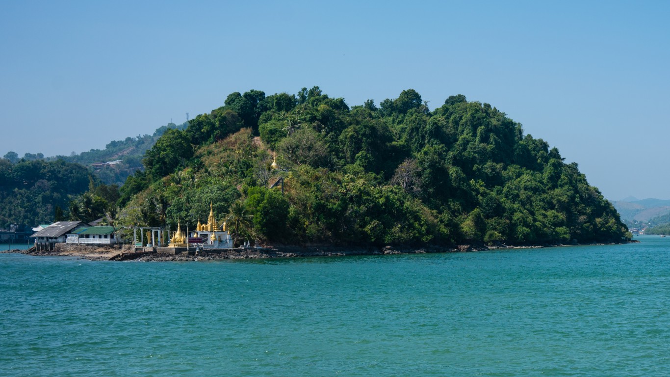
13. Kawthoung, Myanmar
> Annual average precipitation (9 yrs): 131.8 inches
> Rainiest year in database: 2013, 194.3 inches
> Rainiest month on average: July, 36.7 inches
Kawthoung, which was previously called Victoria Point, is a town located on Myanmar’s southernmost tip. It has a tropical monsoon climate, and therefore it has a wet and dry season. The rainiest month on average is July.
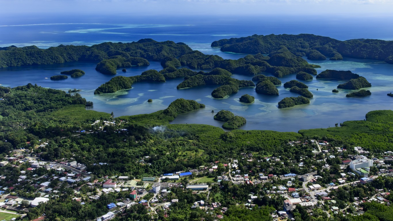
12. Koror Island, Palau
> Annual average precipitation (22 yrs): 133.5 inches
> Rainiest year in database: 2011, 190.0 inches
> Rainiest month on average: June, 16.2 inches
Koror is the most densely populated of the islands comprising the Republic of Palau. It has a tropical rainforest climate and is windy, humid, and extremely rainy. The second half of the year features an increased chance of tropical storms and depressions.
[in-text-ad-2]
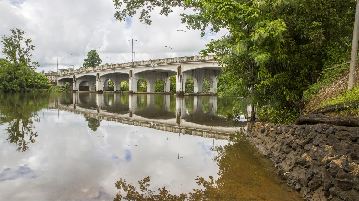
11. Innisfail, Australia
> Annual average precipitation (9 yrs): 138.4 inches
> Rainiest year in database: 1999, 227.8 inches
> Rainiest month on average: March, 23.5 inches
The rainiest city in Australia is Innisfail, located in the state of Queensland. It has a tropical rainforest climate and is the only Australian city in the continent’s tropical zone — which covers 40% of its landmass — that doesn’t have a dry season.

10. Cayenne, French Guiana
> Annual average precipitation (22 yrs): 139.8 inches
> Rainiest year in database: 2006, 173.1 inches
> Rainiest month on average: May, 23.4 inches
The coastal city of Cayenne is the capital of French Guiana. Its rainiest period runs from April through June, during which time it is also exceptionally humid. The city has a tropical monsoon climate.
[in-text-ad]
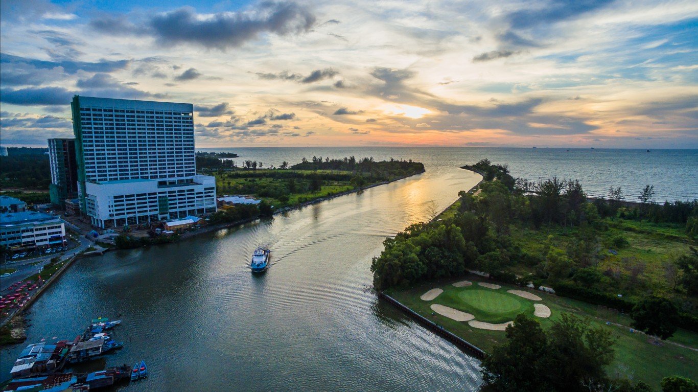
9. Sibu, Malaysia
> Annual average precipitation (22 yrs): 140.3 inches
> Rainiest year in database: 2016, 192.8 inches
> Rainiest month on average: January, 19.0 inches
The city of Sibu is located in East Malaysia where the Rajang and Igan rivers meet. It has a tropical rainforest climate, with rainfall peaking in January. Heavy rains, especially when combined with high tides, can lead to flooding in the area, though a recent Sibu flood-mitigation project has helped prevent some flooding recently.
[recirclink id=557395]
8. Fono Island, Federated States Of Micronesia
> Annual average precipitation (22 yrs): 140.5 inches
> Rainiest year in database: 2002, 171.0 inches
> Rainiest month on average: September, 14.9 inches
Fono Island is one of the municipalities included in the Federated States of Micronesia’s Chuuk state. At only 2 meters (6.6 feet) in elevation, the island is at risk of rising sea levels.
7. Sittwe, Myanmar
> Annual average precipitation (11 yrs): 145.9 inches
> Rainiest year in database: 2004, 224.0 inches
> Rainiest month on average: July, 52.5 inches
Also referred to as Akyab, Sittwe is located in western Myanmar, 90 miles south of India. It has a tropical monsoon climate that entails a dry season and heavy monsoon wet season, as well as warm weather year-round. While July is the rainiest month, March is the driest.
[in-text-ad-2]
6. Villavicencio, Colombia
> Annual average precipitation (22 yrs): 147.6 inches
> Rainiest year in database: 2010, 202.1 inches
> Rainiest month on average: May, 23.3 inches
Villavicencio is a city of just over 530,000 people, located on the eastern slopes of the Andes and bordering Colombia’s Guatiquía River. It has a marine west coast climate, which entails frequent, ample rains. The area was burdened with severe flooding and mudslides as recently as 2019.

5. Bintulu, Malaysia
> Annual average precipitation (22 yrs): 153.2 inches
> Rainiest year in database: 2008, 212.0 inches
> Rainiest month on average: January, 19.8 inches
The coastal town on the island Borneo is wet all year with a tropical rainforest climate. The area suffers from flash flooding due to the large amounts of rainfall.
[in-text-ad]
4. Taman Desa Wira, Malaysia
> Annual average precipitation (22 yrs): 166.2 inches
> Rainiest year in database: 2003, 206.7 inches
> Rainiest month on average: January, 27.3 inches
Taman Desa Wira is a section of the capital of Sarawak state, Kuching, on the island of Borneo. It’s located just north of the equator and has a tropical rainforest climate. Downpours can result in flash flooding, sometimes forcing residents from their homes.
[recirclink id=521106]
3. Kolonia, Federated States Of Micronesia
> Annual average precipitation (22 yrs): 168.7 inches
> Rainiest year in database: 2018, 209.0 inches
> Rainiest month on average: April, 17.5 inches
Kolonia is a coastal city found on the island of Pohnpei. It is hot and wet all year, with a tropical rainforest climate. Flooding has historically been a problem due to the rains. In 2002, three members of Pohnpei’s women’s softball team were killed in a flash flood.
2. Bagadó, Colombia
> Annual average precipitation (9 yrs): 258.9 inches
> Rainiest year in database: 2000, 344.9 inches
> Rainiest month on average: August, 34.6 inches
Badadó is located in Colombia’s Chocó Department along the Río Andagueda. It is hot and muggy throughout most of the year and has a wet season that lasts for nearly nine months. In 2013, more than 4,000 people in Choc�� were displaced due to rivers overflowing from rain.
[in-text-ad-2]
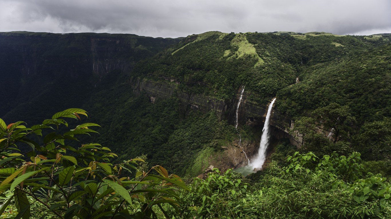
1. Cherrapunji, India
> Annual average precipitation (22 yrs): 382.2 inches
> Rainiest year in database: 2010, 530.4 inches
> Rainiest month on average: July, 97.2 inches
While many of the Earth’s rainiest places have especially low elevations, India’s Cherrapunji has an elevation of 1,313 meters (4,308 feet). Its unique levels of precipitation stem from its location on the edge of the Shillong Plateau, where summer monsoon air rises and cools rapidly, condensing and producing rain. In addition to having the highest average annual rainfall from precipitation in recent years, Cherrapunji has the greatest recorded total rainfall in one year. From August 1860 through July 1861, 1,042 inches of rain fell.
Contact [email protected] for any questions or corrections.