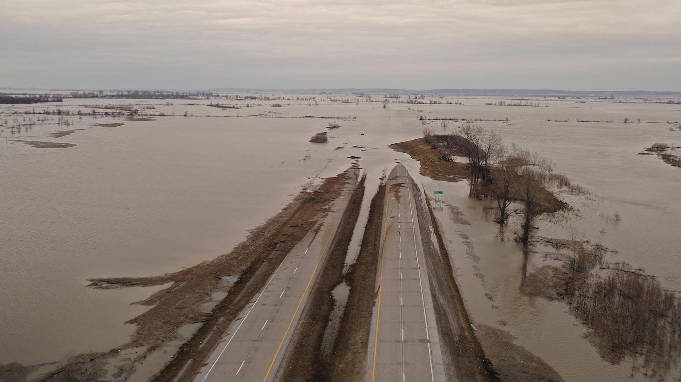
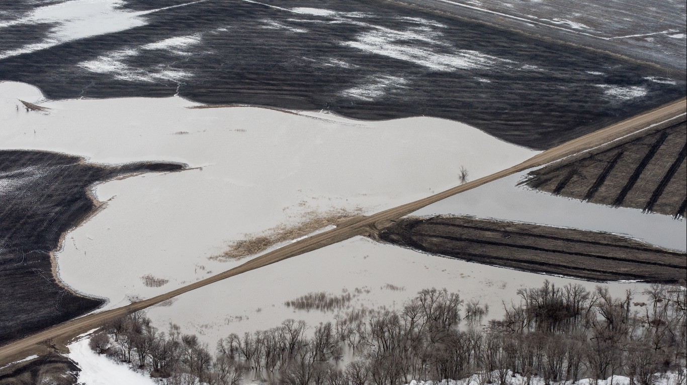
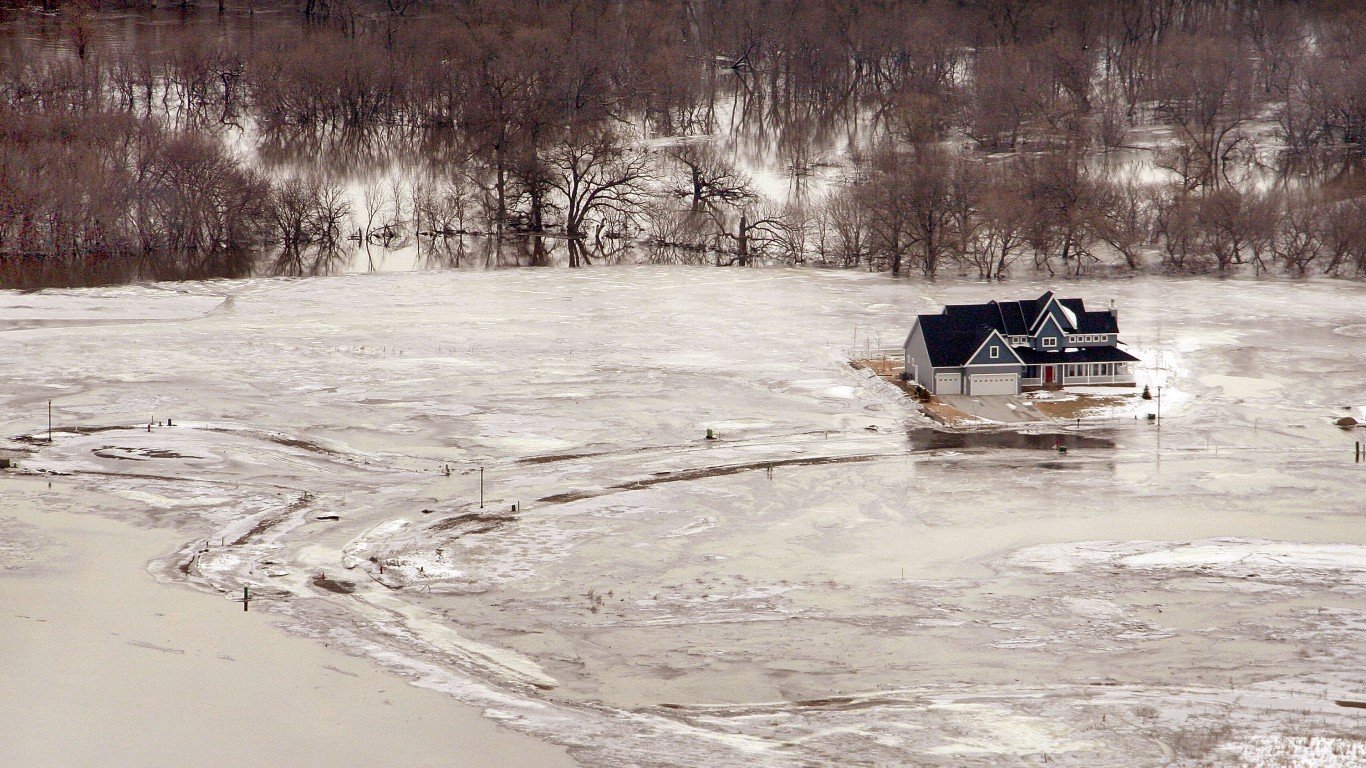
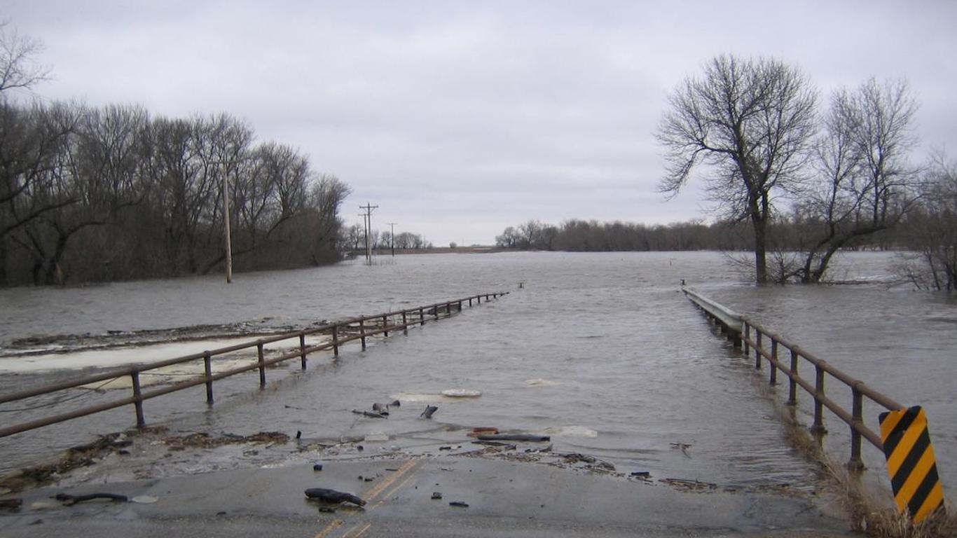
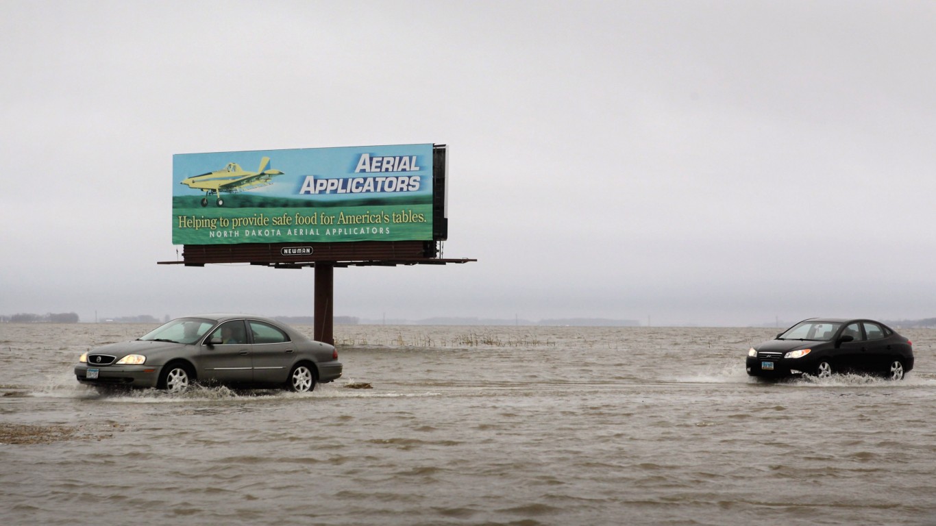
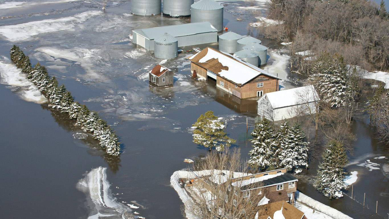
This year, with the coronavirus measures keeping so many of us indoors, the notion of rebirth and rejuvenation associated with spring especially resonates. Yet certain parts of the country dread the spring because melting snow and ice, combined with spring rainstorms, can swell river levels, flooding farmland, overwhelming roads, and testing the strength of levees and dikes.
With spring upon us, 24/7 Wall St. has created a list of the places that are expected to be hit hardest by spring flooding. We reviewed data from The National Oceanic and Atmospheric Administration’s 2020 National Hydrologic Assessment to compile our list.
Click here to see the places hit hardest by spring flooding
Click here to read our methodology
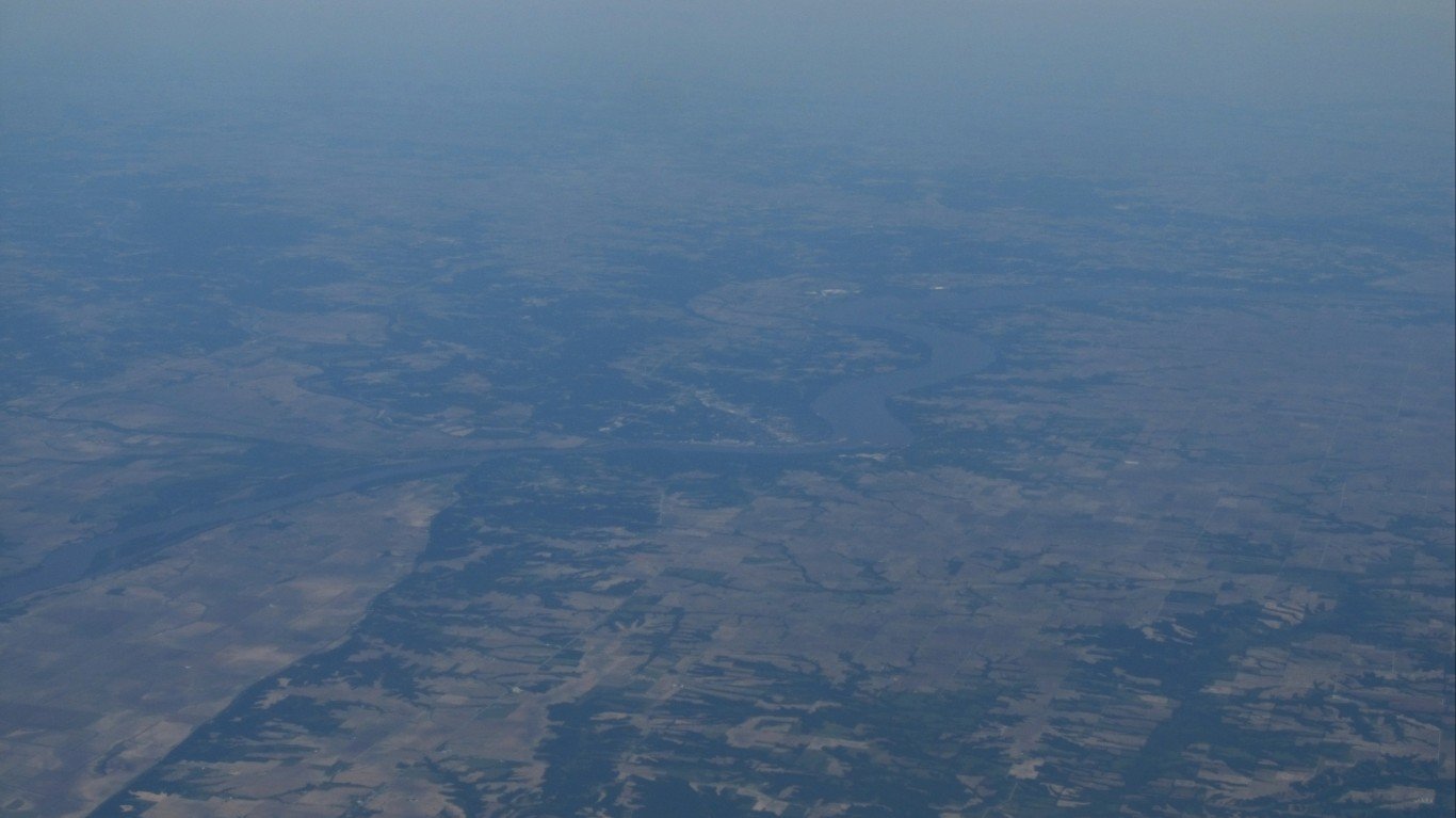
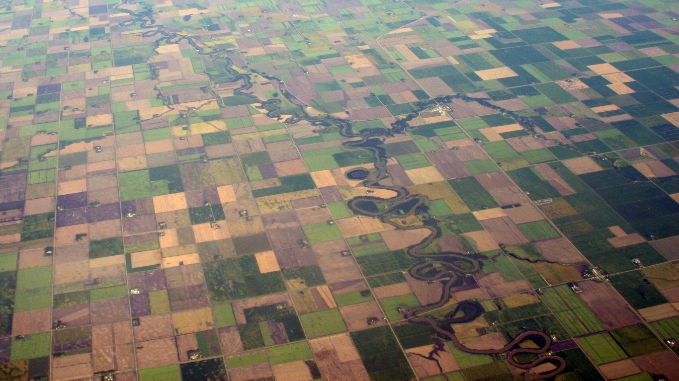
According to the NOAA report, this spring 128 million people face a higher flooding risk, with 28 million at risk for moderate or greater flooding, and 1.2 million at risk for major flooding. Millions of people at risk live near rivers in the Midwest and Great Plains states of Iowa, Illinois, North and South Dakota, and Minnesota.
In sections of South Dakota, last year’s flood season has never really ended. According to The Weather Channel, two river measures on the James River in eastern South Dakota had readings above flood stage — the level above which a rise in water can cause inundation — for a year or longer as of April 2 because of relentless snowfall and rain, which have saturated the soil.
“The river levels never fell in the winter because the ground was fully saturated when it froze last fall,” said Amy Parkin, a meteorologist at the National Weather Service office in South Dakota on nasa.gov. “As the snow and river ice melted over the past few weeks, the water had nowhere to go.”
This raises concerns that this year could bring some of the most damaging floods on record. Here are the worst floods in American history.

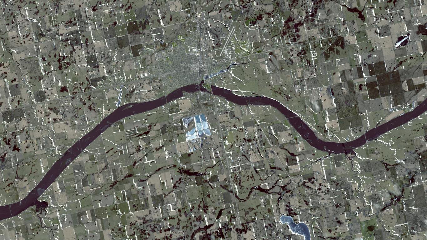
Mississippi River at Gladstone, Illinois
> Chance of major flooding: 50%
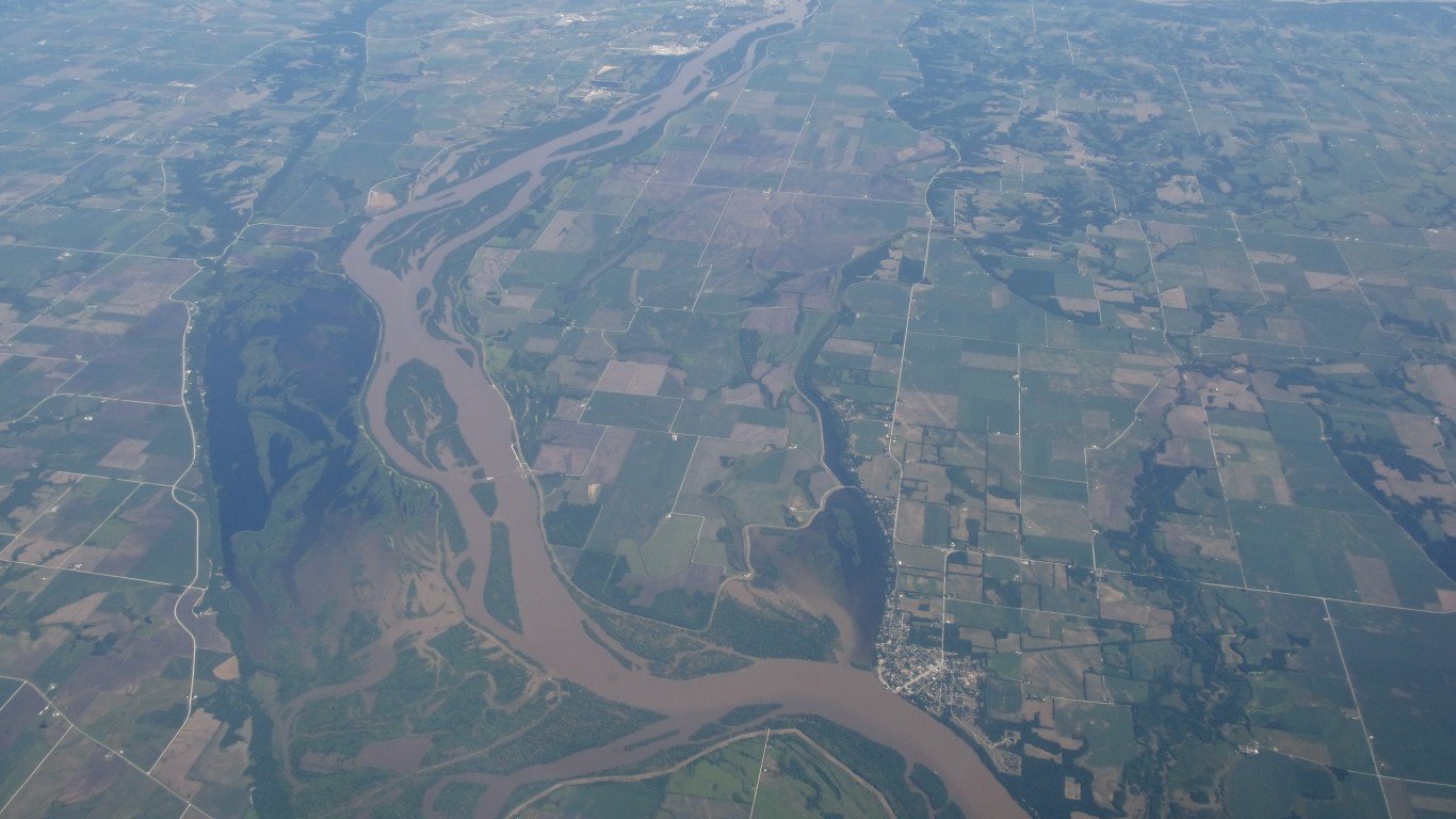
The residents of Gladstone, Illinois, have learned to live with flooding from the Mississippi River, which is located about 4 miles west of the town of about 265 people. Last year, the river flooded parts of Henderson County, where Gladstone is located, forcing the closure of part of Route 164. In 2008, a levee broke in Gladstone and flood waters crested at a record 22.46 feet on June 17. The levee was replaced with two levees. NOAA predicts extensive minor flooding along the Mississippi River and its tributaries this spring in eastern Iowa, eastern Missouri, and Illinois.
[in-text-ad]
James River near Scotland, South Dakota
> Chance of major flooding: 55%
The National Weather Service issued a flood warning on April 22 for several towns along the James River in South Dakota, including Scotland. The weather service cautioned motorists not to drive cars through flooded areas, warning that water depth and road conditions may not be safe. In its hydrologic report in March, NOAA had forecast major flooding events are expected along the James River this spring. Last year, flood water along the James River reached major flood stage for 77 straight days. Flood waters rose to 18.53 feet at Scotland. Major flood stage is considered to be 16 feet.
[recirclink id=598458]
James River at Huron, South Dakota
> Chance of major flooding: 55%
The NWS issued a flood warning on April 22 to Beadle County, where the town of Huron is located. NOAA had projected major flooding along the James River. According to the report, “In the Missouri River Basin, an elevated major flooding risk exists along the James (South Dakota) and upper Little Sioux Rivers.” Last year, Huron and other areas in the region were flooded in the spring following snowmelt.
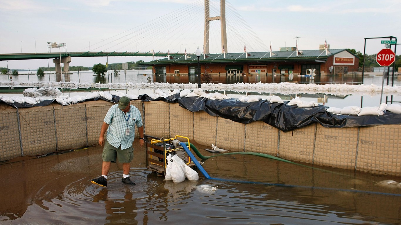
Mississippi River at Burlington, Iowa
> Chance of major flooding: 57%
The NWS issued a flood warning for the Mississippi River at Burlington on the morning of April 23, and the warning was extended until April 27. Flood waters had reportedly risen to 16.1 feet on April 24. The flood stage — the level above which a rise in water can cause inundation — is 15 feet. Major flood stage for Burlington is 18 feet, according to the NWA. In March, NOAA’s National Hydrologic Assessment predicted widespread minor flooding in eastern Iowa, eastern Missouri, and Illinois, along the Mississippi River tributaries and the Illinois River. In 2019, the Mississippi River in Burlington was above flood stage for more than 100 days. The record for flood water for Burlington is 25.73 feet, reached on June 17, 2008, according to NWS data.
[in-text-ad-2]
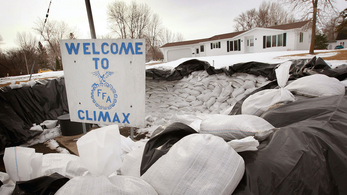
Sand Hill River at Climax, Minnesota
> Chance of major flooding: 58%
Climax, Minnesota, is about 3 miles west of the border with North Dakota. Sand Hill River is a tributary of the Red River, and its watershed — the area between drainage areas — has experienced frequent flooding. A year ago, flooding caused road closures north of Climax.
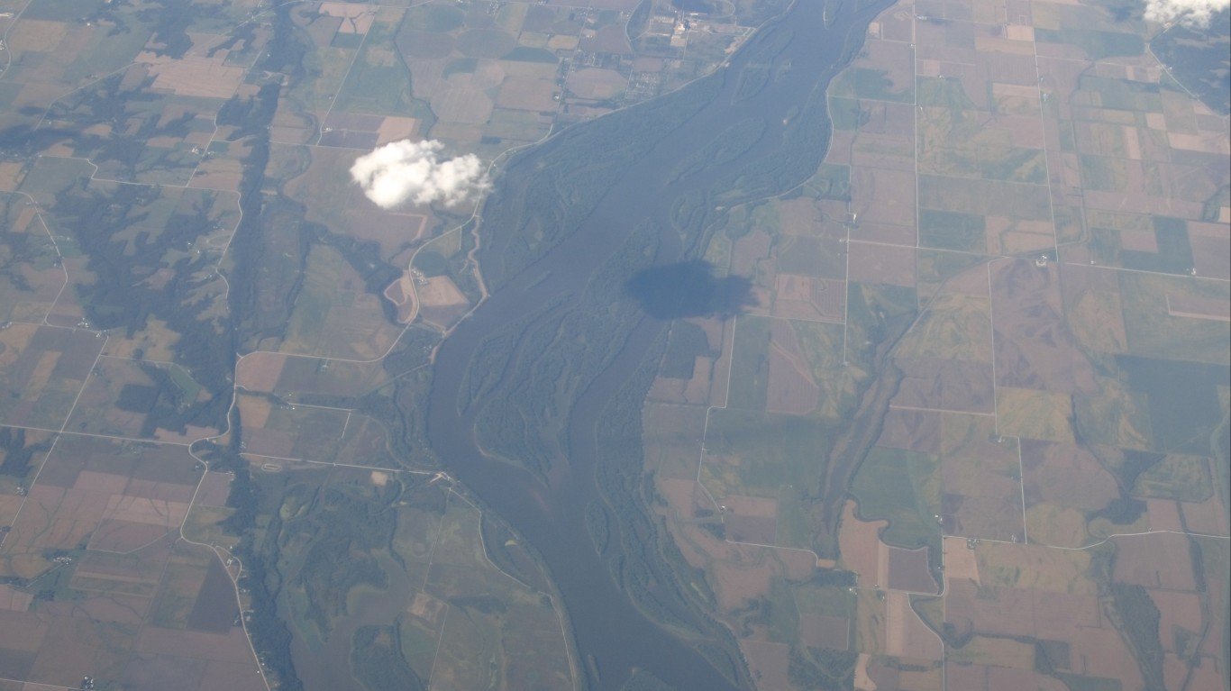
Mississippi River at Muscatine, Iowa
> Chance of major flooding: 59%
Muscatine is a town of about 23,000 located on the western side of the Mississippi River that separates Iowa from Illinois. In March, NOAA forecast that widespread minor flooding was expected along the Mississippi River tributaries in the areas of eastern Iowa, eastern Missouri, and Illinois. According to the Muscatine Journal, the May 2019 crest — the highest level a river reaches during a flood — of the Mississippi River at the Iowa town was the fourth-highest level ever in Muscatine, climbing just above 24 feet. The record for Muscatine is 25.61 feet reached on July 9, 1993. Major flood stage in Muscatine is 20 feet.
[in-text-ad]
Mississippi River at Illinois City, Illinois
> Chance of major flooding:59%
Illinois City, Illinois, is a city located about 9 miles east of Muscatine, Iowa, on the eastern side of the Mississippi River. NOAA forecast in March that minor flooding may occur along the Mississippi River tributaries in eastern Iowa, eastern Missouri, and Illinois. NOAA reported in January that flooding along the Mississippi River and its tributaries in 2019 caused about $6.2 billion in damage in Illinois and the Midwest.
[recirclink id=597537]
Wapsipinicon River near DeWitt, Iowa
> Chance of major flooding: 59%
DeWitt, Iowa, located about 10 miles west of the Mississippi River, has already experienced flooding this spring. The Wapsipinicon River, a tributary of the Mississippi, reached flood stage near DeWitt on the weekend of March 21-22, according to the NWS. The river’s water level was just above flood stage at 11.2 feet, causing minor flooding.

Mississippi River at Rock Island, Illinois
> Chance of major flooding: 60%
Rock Island, located between the Mississippi and Rock rivers and across from the Iowa city of Davenport, had record flooding in 2019. The Illinois city was inundated by flood waters from the Mississippi River in May 2019, as water rose to 22.7 feet, the highest ever on since records began in 1862. NOAA forecast extensive minor flooding events along the Mississippi River tributaries and the Illinois River in the areas of eastern Iowa, eastern Missouri, and Illinois.
[in-text-ad-2]
Mississippi River at Keithsburg, Illinois
> Chance of major flooding: 61%
Keithsburg, Illinois, is another town on the Mississippi River that has had to deal with flooding episodes. The NWS issued a flood warning for Keithsburg on April 23, in effect through April 25. In March, NOAA forecast minor flooding along the Mississippi River tributaries in eastern Iowa, eastern Missouri, and Illinois. The most severe flooding in Keithsburg occurred on June 17, 2008, when flood water rose to 24.49 feet, according to data from the NWS. Major flood stage is 17 feet.
Big Sioux River near Brookings, South Dakota
> Chance of major flooding: 63%
Brookings, South Dakota, is a town located about 57 miles north of Sioux Falls. Mike Gillespie, senior hydrologist for the NWS in Sioux Falls, told the Argus Leader newspaper in early March that the region has been saturated by precipitation in recent years, and that Brookings was among the towns in the area that could experience moderate flooding from the Big Sioux River. He added that Brookings had more snowfall than usual this past winter and that snowmelt would add to the Big Sioux River. As of April 23, the NWS had predicted a 63% chance of major flooding in the town this spring.
[in-text-ad]
Little Sioux River near Milford, Iowa
> Chance of major flooding: 64%
Milford, Iowa, located near the Little Sioux River, is about 106 miles east of Sioux City, South Dakota, and is no stranger to flood events. On June 24, 2018, the NWS reported that the Little Sioux River near Milford surged to a record high level of 17.93 feet. NOAA said in March that most of the Little Sioux River was expected to flood this spring, with major flooding events along the upper area of the basin.
[recirclink id=677206]
Sheyenne River at Valley City, North Dakota
> Chance of major flooding: 64%
Valley City, North Dakota, is 61 miles west of Fargo, in eastern North Dakota. The area was inundated with flood waters in October, when the Sheyenne River overflowed its banks. North Dakota Gov. Doug Burgum declared a statewide flood emergency, and Valley City was among the cities that requested emergency aid. NOAA said in March that flood risk for the spring was elevated by higher levels of soil saturation because of above normal precipitation the previous year and higher than average snow water in eastern North Dakota.

Sheyenne River at Kindred, North Dakota
> Chance of major flooding: 64%
Kindred, North Dakota, is about 30 miles southwest of Fargo, in the southeastern part of the state. Cass County, where Kindred is located, was flooded in April of 2019. The Sheyenne River at Kindred rose to 20.5 feet — its major flood stage — at one point in last year’s flooding. North Dakota had been slammed by a blizzard last October, and NOAA said in March that the flood risk for eastern North Dakota this spring was elevated because of highly saturated soil and higher than average snow water.
[in-text-ad-2]
Mississippi River at New Boston, Illinois
> Chance of major flooding: 69%
New Boston, Illinois, is perched on a bend of the Mississippi River across the border from Iowa. The NWS issued a flood warning on April 23 in effect until April 24. Flood waters from the Mississippi River were at 15.4 feet as of 8 a.m. on April 23, just over the flood stage of 15 feet. NOAA said in its March report that eastern Iowa, eastern Missouri, and Illinois would experience extensive minor flooding along the Mississippi River tributaries.
Red Lake River at Crookston, Minnesota
> Chance of major flooding: 85%
Crookston, located in western Minnesota, was hit with flooding in late March. The NWS on March 30 issued a flood warning for the Red Lake River at Crookston, which was in effect until April 3. The floods occurred after NOAA in January forecast a high likelihood of flooding in the spring because of heavy precipitation in the fall and heavy snowfall during the winter. The area was also inundated a year ago. The Red Lake River’s record crest in Crookston was recorded in April of 1997, when it surged to 28.3 feet.
[in-text-ad]
Sheyenne River at West Fargo Diversion, North Dakota
> Chance of major flooding: 93%
The Sheyenne River is one of the major tributaries of the Red River. West Fargo, which is about 5 miles west of Fargo in eastern North Dakota, is one of the areas in the region that is protected from flooding by a diversion channel that redirects the Sheyenne River. Construction on the diversion was begun in 1990 and finished two years later, costing $27.8 million. Despite the diversion, West Fargo had major flooding events in 1997 and 2009. NOAA said in March that the flood risk for eastern North Dakota this spring was higher because of highly saturated soil and higher than average snow water.
[recirclink id=589074]

Red River of the North at East Grand Forks, Minnesota
> Chance of major flooding: >95%
East Grand Forks, Minnesota, is located on the eastern bank of the Red River across from North Dakota. The NWS issued a flood warning for Polk County, which includes East Grand Forks, on April 23 in effect for the next three days. NOAA said in its March report that there was an “elevated risk of widespread moderate to major flooding” this spring along the upper and middle Mississippi River, and across the Red River. The agency’s hydrologic assessment said the risk was due to saturated soil and above normal precipitation in 2019 as well as higher than average snow water, especially in eastern North Dakota, northern Minnesota, northern Wisconsin, and Lake Superior.
Red River of the North at Oslo, Minnesota
> Chance of major flooding: >95%
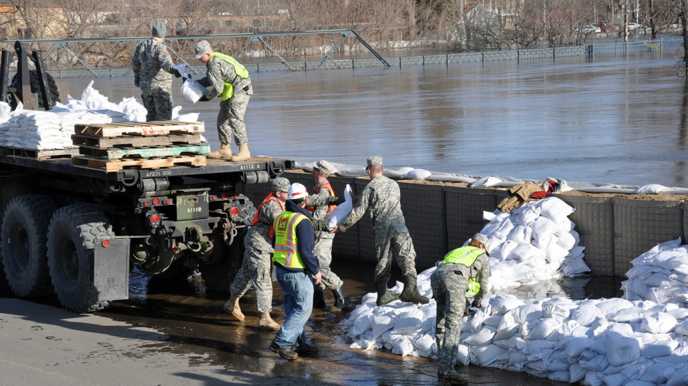
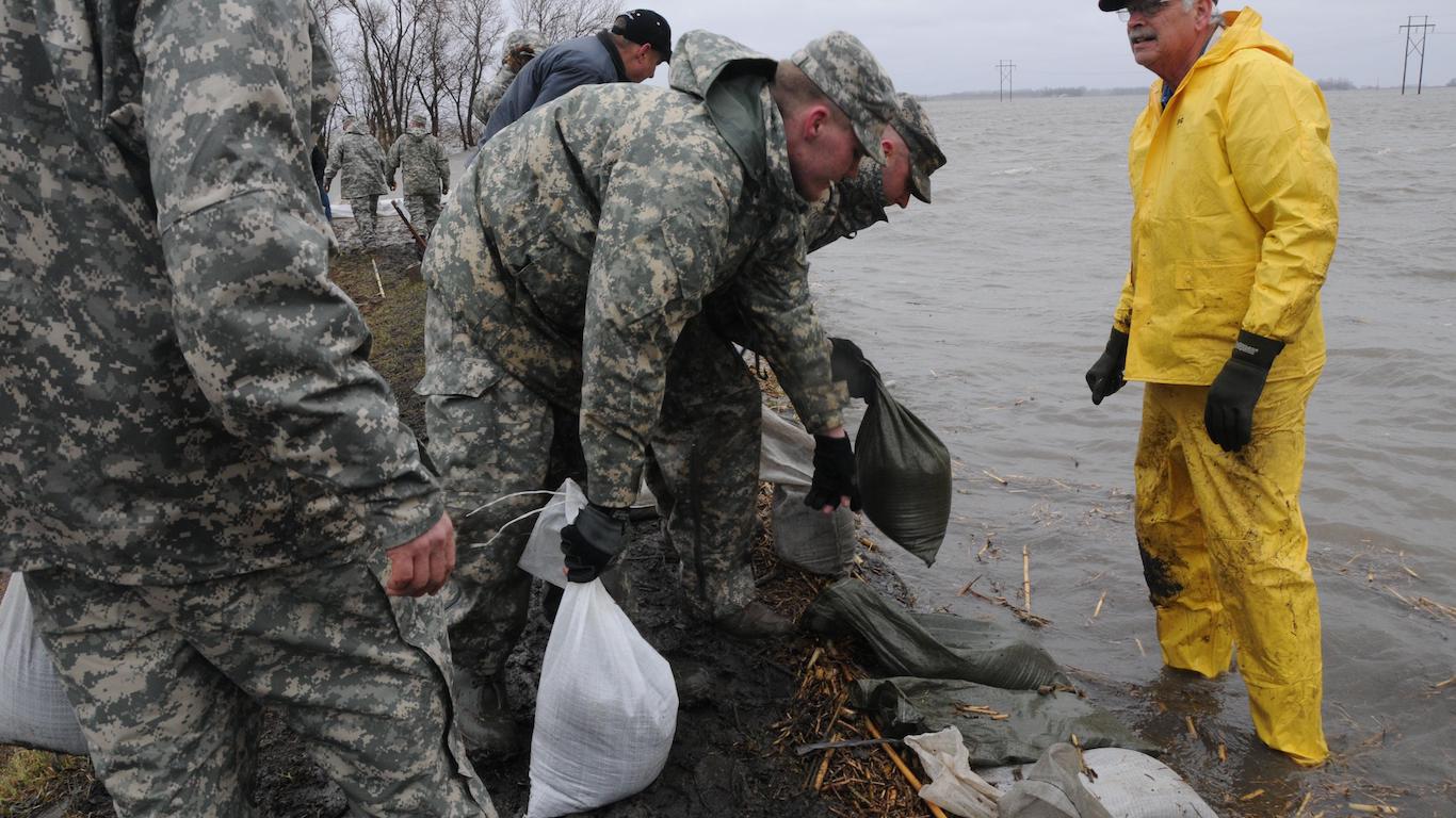
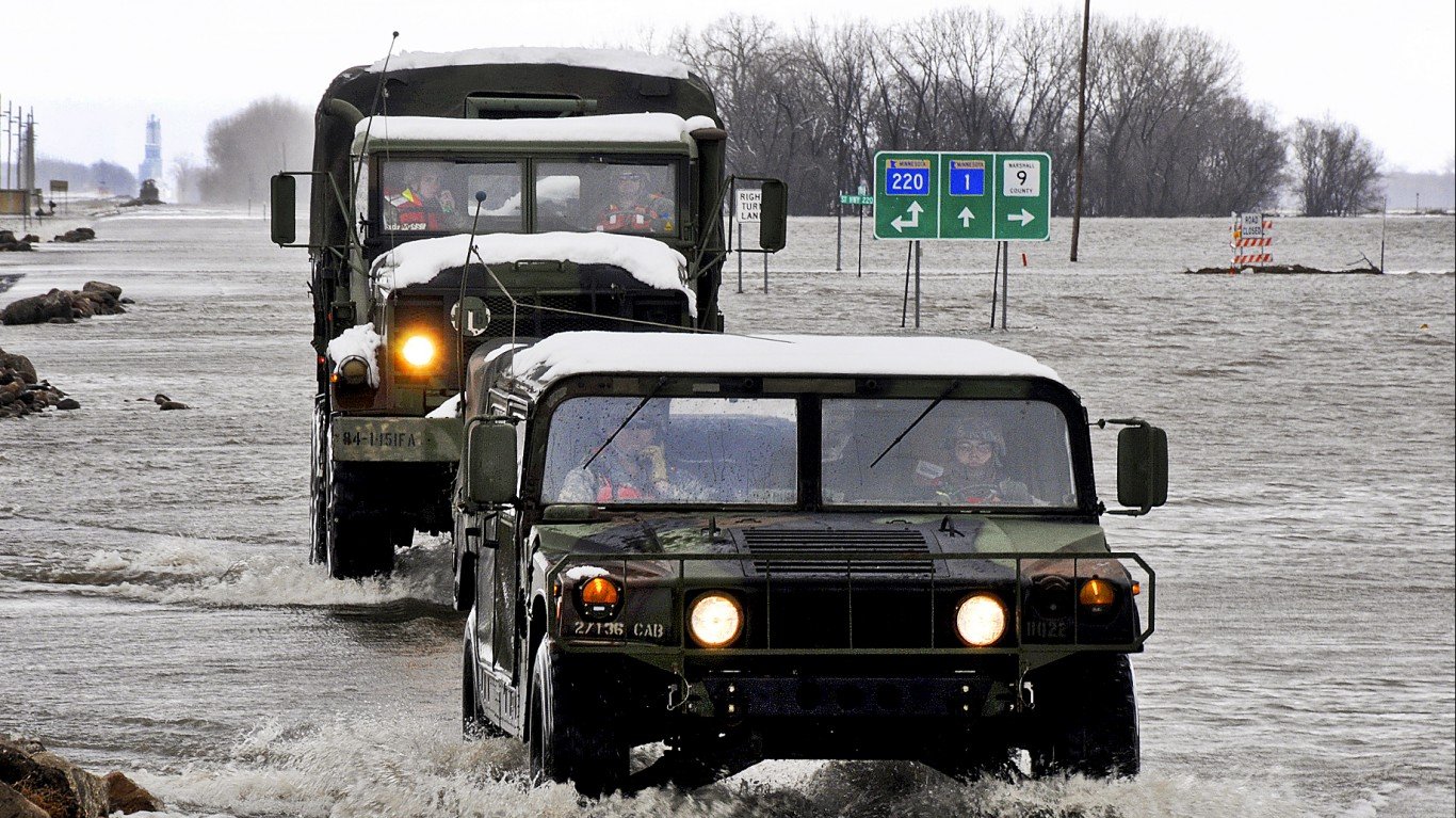
Oslo, located in western Minnesota, is one of three Minnesota towns considered by NOAA to have a greater than 90% chance of major flooding this spring as of April 23. NOAA’s National Hydrologic Assessment that was published in March said there was “a significantly elevated risk of widespread moderate to major flooding exists this spring across the Red River of the North basins.” The NWS issued a flood warning for Oslo on April 23, in effect for the next three days. Oslo was expected to be in a moderate flood stage until Sunday. Minnesota Gov. Tim Walz called up the National Guard to help monitor dikes and other flood protection systems earlier this month during a flooding episode.
[in-text-ad-2]
Red River of the North at Drayton, North Dakota
> Chance of major flooding: >95%
Drayton, Minnesota, is situated on a bend of the Red River across from Minnesota, about 40 minutes south of the Canadian border. The National Hydrologic Assessment published in March said there was an increased risk of extensive moderate to major flooding this spring across the Red River of the North basins that include Drayton. The NWS issued a flood warning for Drayton on April 23, in effect for three days. Drayton was expected to be in a moderate flood stage until April 29 or 30.
Red River of the North at Pembina, North Dakota
> Chance of major flooding: >95%
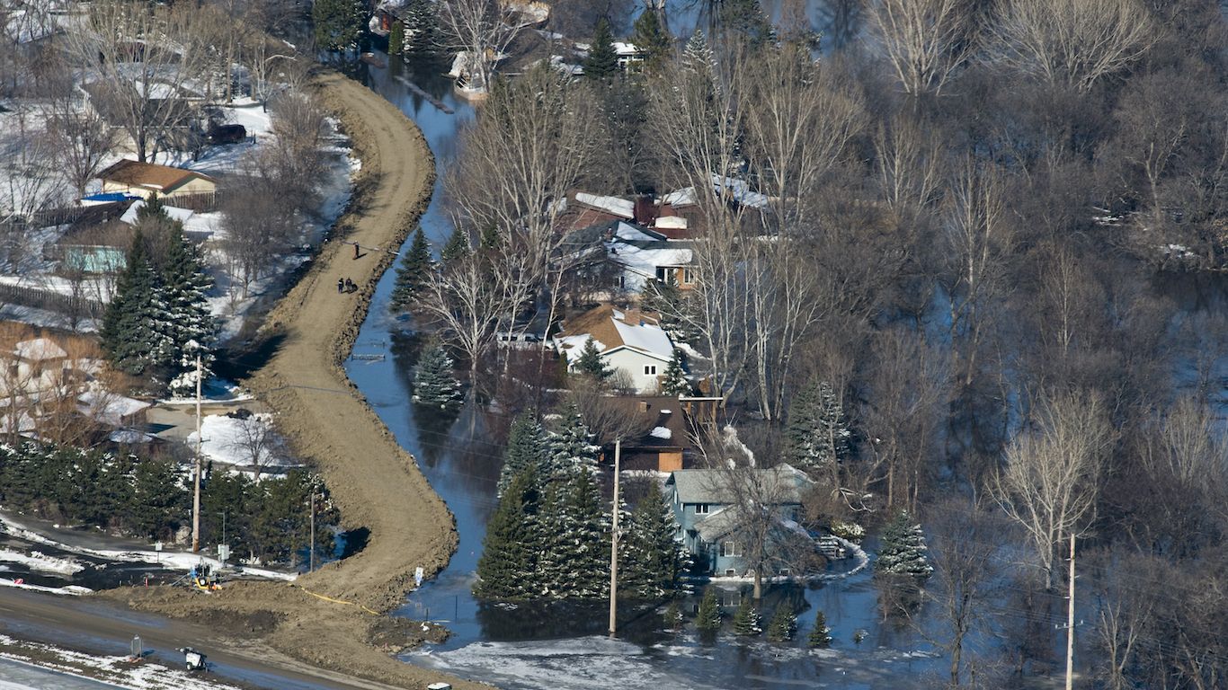
Pembina, North Dakota, located just 3 miles from the Canadian border and west of the Red River, is one of six towns in North Dakota that has a greater than 90% chance of major flooding this spring. NOAA said in its hydrologic assessment in March that there was higher risk of “moderate to major flooding this spring across the Red River of the North basins.” The NWS issued a flood warning for Pembina on April 23, in effect for three days. To deal with flooding, the U.S. Army Corps of Engineers in 2017 helped the town raise its levee system by 3 feet to 57 feet.
[in-text-ad]
Red River of the North at Fargo, North Dakota
> Chance of major flooding: >95%
Fargo, on the western side of the Red River across from Minnesota, is the most populous city in North Dakota. NOAA forecast higher risk of moderate to major flooding this spring across the Red River of the North basins, an area that includes Fargo. The city’s website provides detailed information on how Fargo is planning to address spring flooding. The city in late March was hit with flood waters that closed off some of its streets.
[recirclink id=578696]
Wild Rice River at Abercrombie, North Dakota
> Chance of major flooding: >95%
Abercrombie is the site of the first permanent fort in what would become North Dakota. The city is about 34 miles south of Fargo. The Wild Rice River, a tributary of the Red River, surged to a major flood stage in early April near Abercrombie following rain and snow storms. NOAA’s hydrologic assessment published in March said there was a risk of flooding due to highly saturated soil because of above normal precipitation in 2019 and higher than average snow water in eastern North Dakota, among other regions.
Sheyenne River at Harwood, North Dakota
> Chance of major flooding: >95%
Harwood, North Dakota, located about 3 miles west of Minnesota in the Red River Valley, experienced flooding in early April. On April 9, the Sheyenne River at Harwood crested at 90.5 feet and flooded cornfields, just below the town’s major flood stage of 91 feet. Last year, the river surged to 91.5 feet in Harwood and closed more than 160 miles of roads in Cass County. The highest crest for the Sheyenne in Harwood was 92.02 feet in 1997.
[in-text-ad-2]
Red River of the North at Halstad, Minnesota
> Chance of major flooding: >95%
Halstad, Minnesota, is located east of the Red River and across from North Dakota. Halstad, as well as other towns in the region, was inundated with flooding a year ago, when the area experienced more than a month of flooding. U.S. Highway 75 north of Halstad was closed because of the flooding. The Minnesota National Guard was called in to patrol the dike protecting Halstad. River water levels were raised by significant amounts of snowmelt followed by storms — among them a blizzard — that led to subsequent cresting of waterways.
James River near Ashton, South Dakota
> Chance of major flooding: 99%
Ashton, South Dakota, has a population of 122 and is located in northeastern South Dakota. The NWS posted a flood warning on April 20 for Ashton. NOAA said in its hydrologic assessment in March that major flooding was expected this spring in South Dakota along the James River. According to The Weather Channel, two river gauges on the James River in eastern South Dakota have registered readings above flood stage for a year or longer as of April 2. NOAA said in January that the Dakotas had their wettest year on record.
[in-text-ad]

James River near Columbia, South Dakota
> Chance of major flooding: 99%
Columbia, South Dakota, located in the eastern part of the state, is one of two places on the list that has a 99% chance of a major flooding this spring. The NWS issued a flood warning for Columbia on April 20. The service said water rose to 18.2 feet and that the river would stay at that level for the next few days. Flood stage is 13 feet. NOAA said in March that major flooding was expected this spring in South Dakota along the James River because of saturated soil and snowmelt. NOAA said in January that the Dakotas had their wettest year on record in 2019, which was the second-wettest year on record in the U.S. after 1973.
Methodology
To identify the places most likely to be hit the hardest by this year’s spring flooding, 24/7 Wall St. reviewed the 27 areas with 50% or greater chance of a nearby river exceeding flood levels during April, May, and June as of April 23. The data comes from the National Oceanic and Atmospheric Administration (NOAA)’s “Long Range River Flood Risk” map updated hourly by the National Weather Service.
The page shows a map that depicts the April-May-June risk of minor, moderate, and major river flooding. The risk is based on NOAA’s Ensemble Streamflow Prediction forecasts, which are generated for approximately 2,600 river and stream locations across the United States. We only considered places where the risk of a long-range major flooding is more than 50%. NOAA defines major flooding as the extensive inundation of structures and roads that may necessitate significant evacuations to higher elevations.
Contact [email protected] for any questions or corrections.