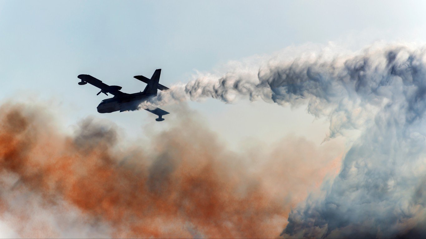
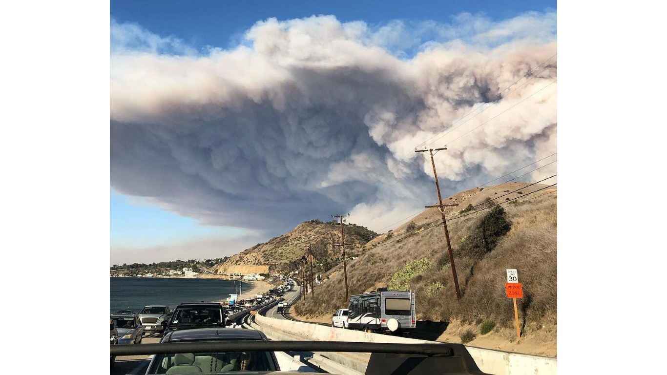
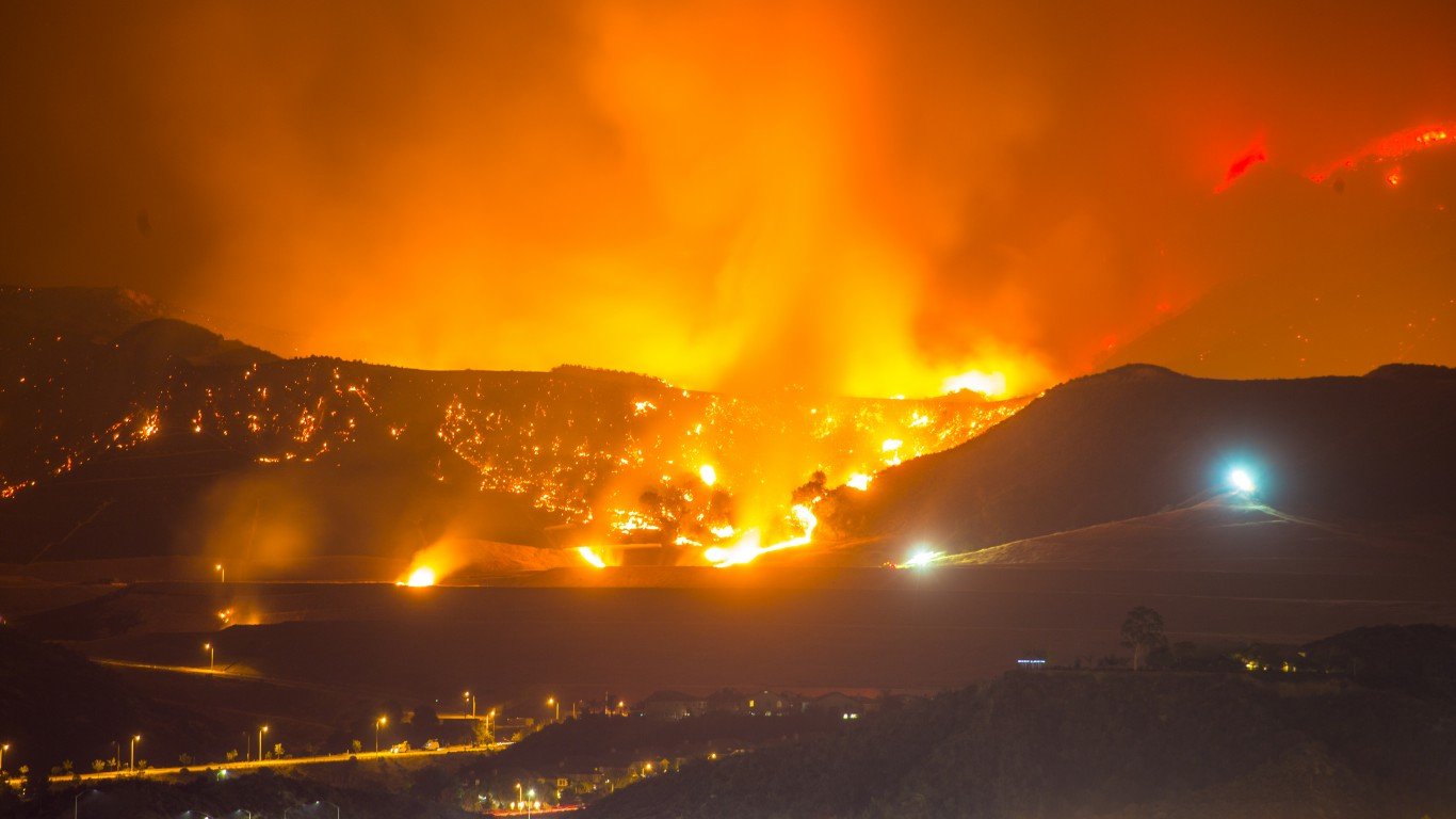
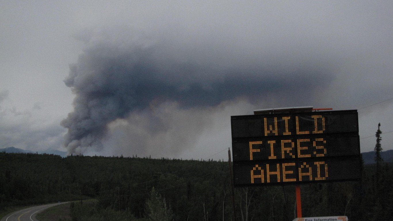
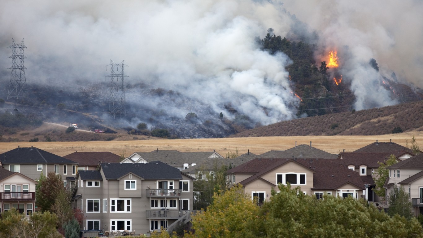
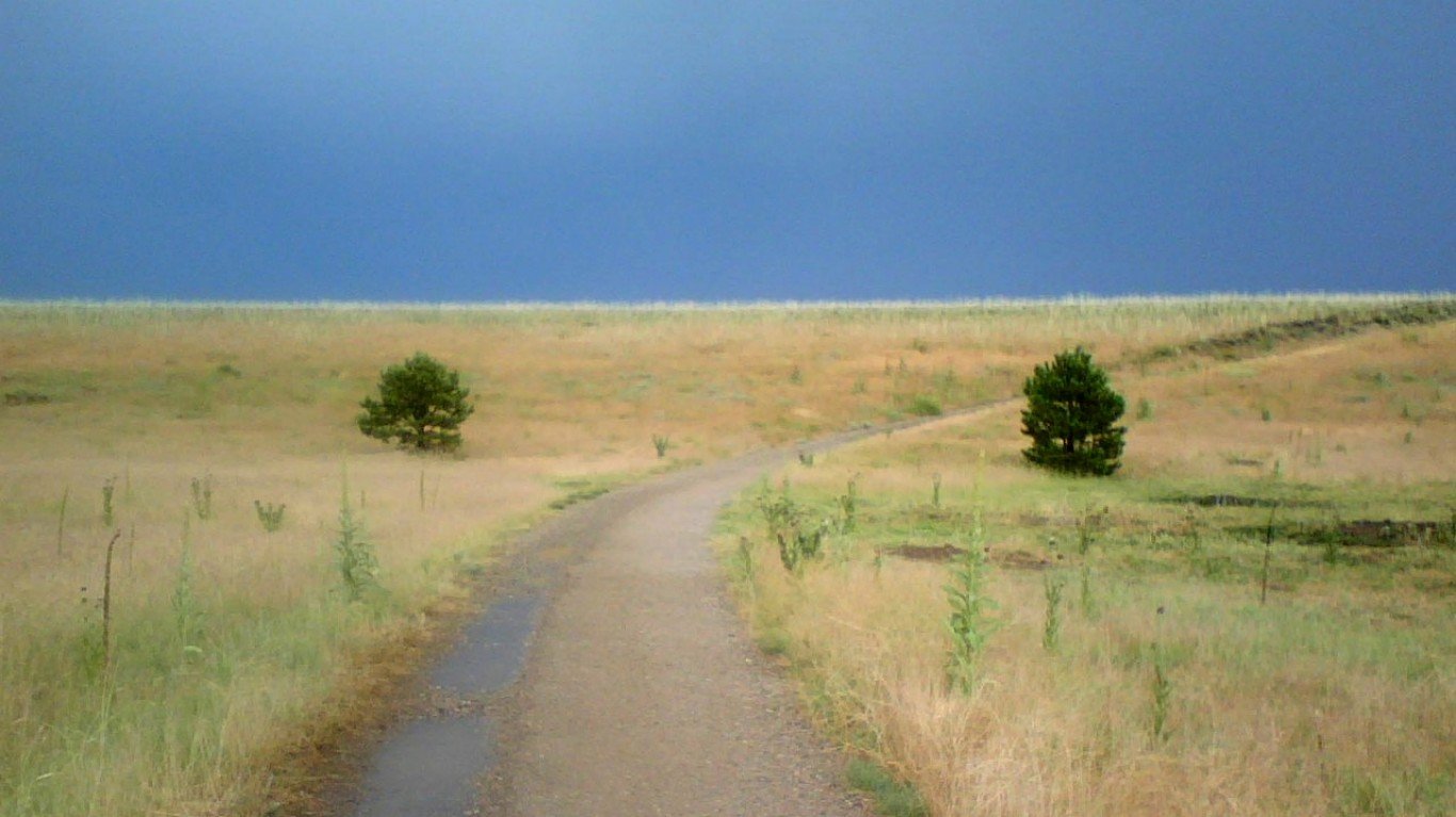
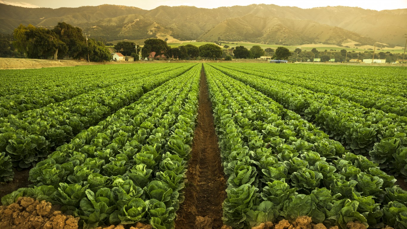
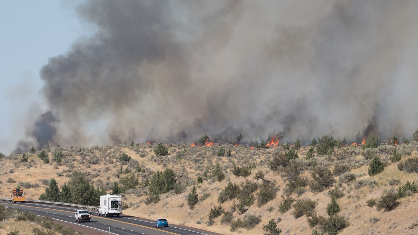
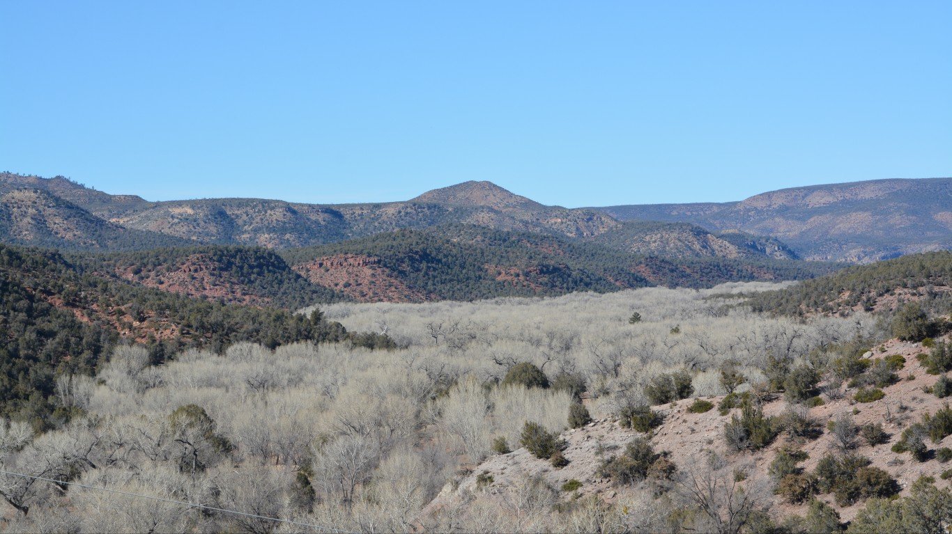
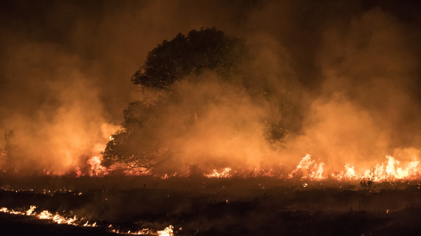
With at least two more months remaining in the Western United States’ wildfire season, this year’s forest fires have already broken records. Four of the five largest wildfires in California’s history occurred in 2020. One of these fires, North Complex, which in August blazed through Butte, Plumas, and Yuba counties, is among the top five deadliest, most destructive, and largest fires in the state’s history. Click here to see the most destructive wildfires in the U.S. this century.
To find the counties devastated by this year’s wildfires, 24/7 Wall St. reviewed the total acres burned in each county so far in 2020 in relation to the county’s total size. Data on total acres burned came from the Wildfire Perimeters and Archived Wildfire Perimeters shapefiles published by the federal wildland firefighting coordination group National Interagency Fire Center (NIFC). Data on county geographical size came from the U.S. Census Bureau.
Fourteen counties on this list are in California, three are in Oregon, another three are in Washington, two are in Idaho, and one is in Arizona. Here is the worst natural disaster in every state.
A combination of climate change-related severe drought conditions over the past decade and poor land management largely contributed to this year’s unprecedented wildfire season.
Higher temperatures and less precipitation in the Western U.S. stemming from over 100 years of climate change produced higher frequency of heat waves, less snow melt to replenish groundwater, and more severe drought conditions. Together, these factors helped form perfect conditions for wildfires.
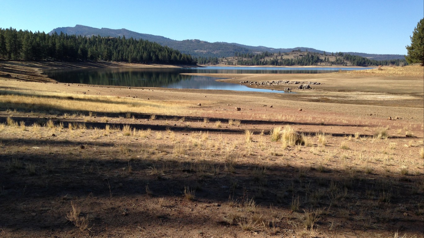
Over the course of California’s five-year drought that started in December 2011, an estimated 150 million trees in the central and southern Sierra Nevada mountains were left dead and drying. In a 2018 report, University of Berkeley fire scientists highlighted the importance of forest management for long-term adaptation to climate change:
“The scale of present tree mortality is so large that greater potential for ‘mass fire’ exists in the coming decades, driven by the amount and continuity of dry, combustible, large woody material that could produce large, severe fires.”
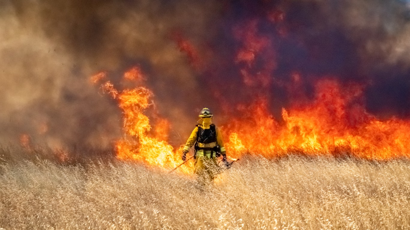
Forest fires are normal occurrences in the Pacific Northwest, and managing forested land for the risk of wildfires is not a new practice. Research from historical journals, Native American oral histories, and botanical and forestry studies have shown evidence of controlled burns and land management practices by humans for more than 10,000 years.
Click here to see the counties devastated by this year’s wildfires
Click here to read our methodology

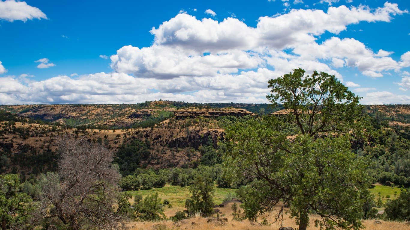
25. Los Angeles County, California
> Burned area as % of county land area: 5.8%
> Acres burned in county in 2020: 149,695
> Los Angeles County land area: 2,597,538 acres
> Major wildfires tracked in 2020: 7
> Largest fire in 2020: Bobcat (75.9% of burned area)
[in-text-ad]
24. Alameda County, California
> Burned area as % of county land area: 6.1%
> Acres burned in county in 2020: 28,813
> Alameda County land area: 471,876 acres
> Major wildfires tracked in 2020: 7
> Largest fire in 2020: Del Puerto (75.3% of burned area)
[recirclink id=731694]
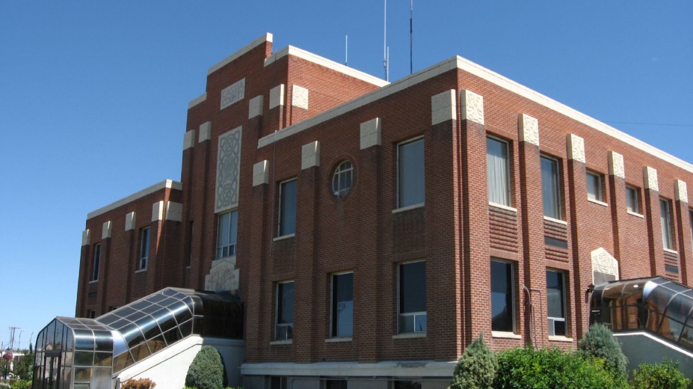
23. Cassia County, Idaho
> Burned area as % of county land area: 6.1%
> Acres burned in county in 2020: 100,673
> Cassia County land area: 1,641,990 acres
> Major wildfires tracked in 2020: 19
> Largest fire in 2020: Badger (96.4% of burned area)
22. Larimer County, Colorado
> Burned area as % of county land area: 6.2%
> Acres burned in county in 2020: 103,742
> Larimer County land area: 1,661,296 acres
> Major wildfires tracked in 2020: 1
> Largest fire in 2020: Cameron Peak (100% of burned area)
[in-text-ad-2]
21. Mendocino County, California
> Burned area as % of county land area: 6.7%
> Acres burned in county in 2020: 149,758
> Mendocino County land area: 2,244,069 acres
> Major wildfires tracked in 2020: 5
> Largest fire in 2020: August Complex (97.0% of burned area)
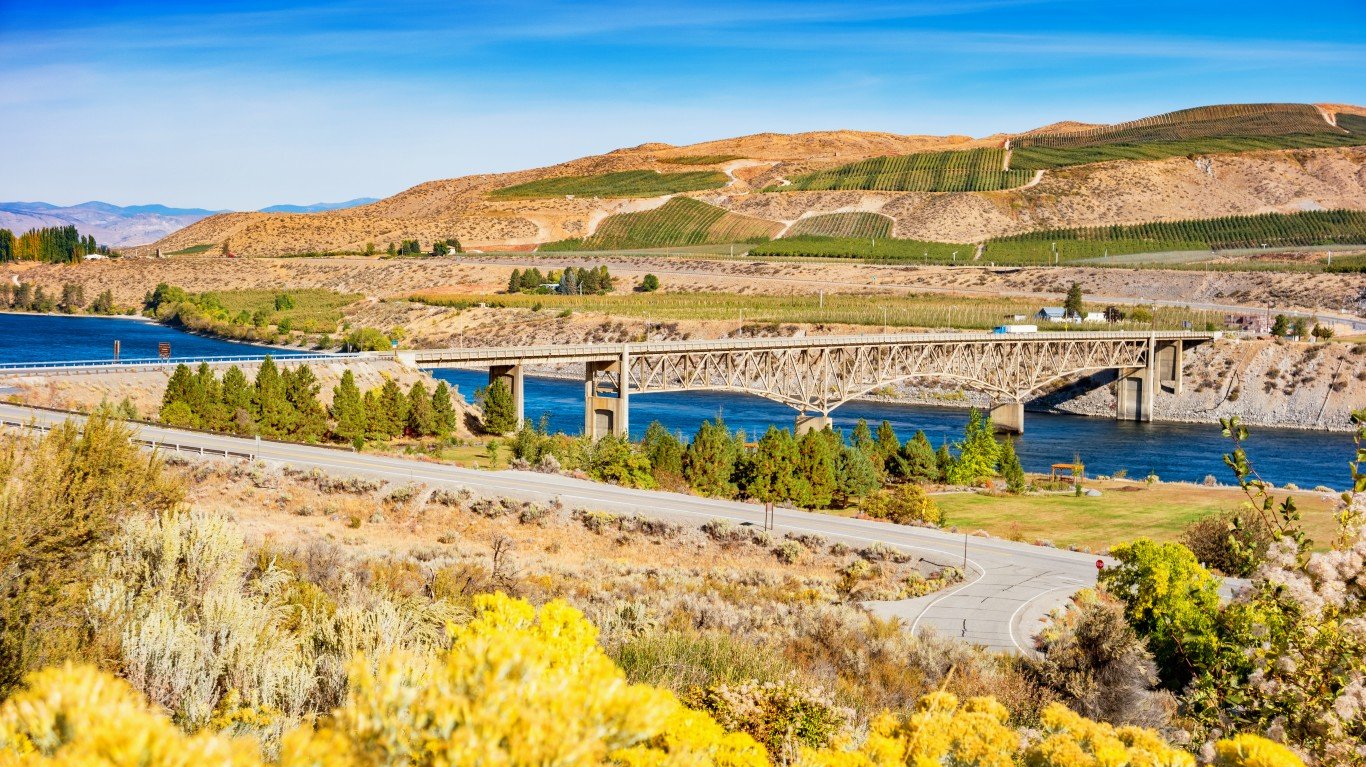
20. Okanogan County, Washington
> Burned area as % of county land area: 6.9%
> Acres burned in county in 2020: 233,623
> Okanogan County land area: 3,370,360 acres
> Major wildfires tracked in 2020: 8
> Largest fire in 2020: Cold Springs, 81.3% of burned area)
[in-text-ad]
19. Garfield County, Colorado
> Burned area as % of county land area: 8.0%
> Acres burned in county in 2020: 151,187
> Garfield County land area: 1,886,352 acres
> Major wildfires tracked in 2020: 3
> Largest fire in 2020: Pine Gulch (79.0% of burned area)
[recirclink id=716503]
18. Monterey County, California
> Burned area as % of county land area: 8.0%
> Acres burned in county in 2020: 168,592
> Monterey County land area: 2,100,301 acres
> Major wildfires tracked in 2020: 4
> Largest fire in 2020: Dolan (75.9% of burned area)
17. Solano County, California
> Burned area as % of county land area: 8.1%
> Acres burned in county in 2020: 42,566
> Solano County land area: 525,961 acres
> Major wildfires tracked in 2020: 1
> Largest fire in 2020: LNU Lightning Complex (100% of burned area)
[in-text-ad-2]

16. Lincoln County, Washington
> Burned area as % of county land area: 8.6%
> Acres burned in county in 2020: 127,411
> Lincoln County land area: 1,478,783 acres
> Major wildfires tracked in 2020: 1
> Largest fire in 2020: Whitney (100% of burned area)
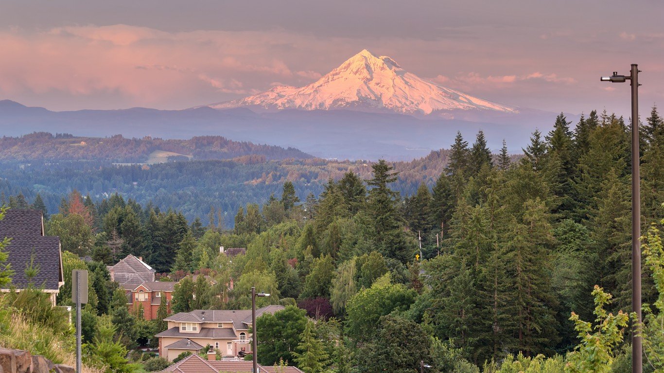
15. Jefferson County, Oregon
> Burned area as % of county land area: 8.6%
> Acres burned in county in 2020: 98,513
> Jefferson County land area: 1,140,633 acres
> Major wildfires tracked in 2020: 4
> Largest fire in 2020: Lionshead (70.0% of burned area)
[in-text-ad]
14. Washington County, Idaho
> Burned area as % of county land area: 9.1%
> Acres burned in county in 2020: 84,321
> Washington County land area: 929,826 acres
> Major wildfires tracked in 2020: 3
> Largest fire in 2020: Woodhead (99.7% of burned area)
[recirclink id=601039]
13. Gila County, Arizona
> Burned area as % of county land area: 9.1%
> Acres burned in county in 2020: 276,213
> Gila County land area: 3,045,117 acres
> Major wildfires tracked in 2020: 17
> Largest fire in 2020: Bush (31.6% of burned area)
12. Madera County, California
> Burned area as % of county land area: 10.7%
> Acres burned in county in 2020: 146,261
> Madera County land area: 1,367,634 acres
> Major wildfires tracked in 2020: 1
> Largest fire in 2020: Creek (100% of burned area)
[in-text-ad-2]
11. Plumas County, California
> Burned area as % of county land area: 12.5%
> Acres burned in county in 2020: 204,637
> Plumas County land area: 1,633,960 acres
> Major wildfires tracked in 2020: 26
> Largest fire in 2020: Claremont-Bear (74.6% of burned area)
10. Butte County, California
> Burned area as % of county land area: 14.5%
> Acres burned in county in 2020: 151,943
> Butte County land area: 1,047,353 acres
> Major wildfires tracked in 2020: 3
> Largest fire in 2020: Claremont-Bear (98.7% of burned area)
[in-text-ad]
9. Tehama County, California
> Burned area as % of county land area: 14.6%
> Acres burned in county in 2020: 275,921
> Tehama County land area: 1,887,447 acres
> Major wildfires tracked in 2020: 8
> Largest fire in 2020: August Complex (52.4% of burned area)
[recirclink id=731694]
8. Clackamas County, Oregon
> Burned area as % of county land area: 15.7%
> Acres burned in county in 2020: 188,304
> Clackamas County land area: 1,197,234 acres
> Major wildfires tracked in 2020: 8
> Largest fire in 2020: Riverside (73.4% of burned area)
7. Stanislaus County, California
> Burned area as % of county land area: 18.4%
> Acres burned in county in 2020: 175,700
> Stanislaus County land area: 957,451 acres
> Major wildfires tracked in 2020: 1
> Largest fire in 2020: Del Puerto (100% of burned area)
[in-text-ad-2]
6. Douglas County, Washington
> Burned area as % of county land area: 20.9%
> Acres burned in county in 2020: 243,768
> Douglas County land area: 1,164,328 acres
> Major wildfires tracked in 2020: 5
> Largest fire in 2020: Pearl Hill (91.8% of burned area)
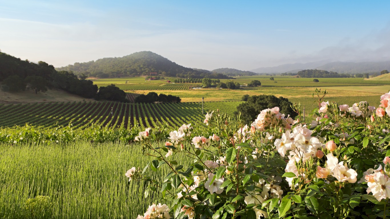
5. Napa County, California
> Burned area as % of county land area: 21.1%
> Acres burned in county in 2020: 100,861
> Napa County land area: 478,887 acres
> Major wildfires tracked in 2020: 1
> Largest fire in 2020: LNU Lightning Complex (100% of burned area)
[in-text-ad]
4. Trinity County, California
> Burned area as % of county land area: 21.3%
> Acres burned in county in 2020: 433,317
> Trinity County land area: 2,034,731 acres
> Major wildfires tracked in 2020: 9
> Largest fire in 2020: August Complex (47.2% of burned area)
[recirclink id=768307]
![]()
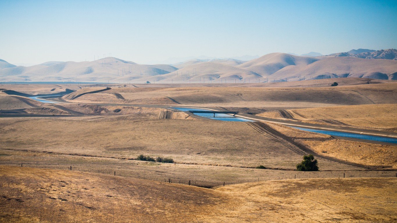
3. Glenn County, California
> Burned area as % of county land area: 23.0%
> Acres burned in county in 2020: 193,424
> Glenn County land area: 840,939 acres
> Major wildfires tracked in 2020: 11
> Largest fire in 2020: August Complex (97.6% of burned area)
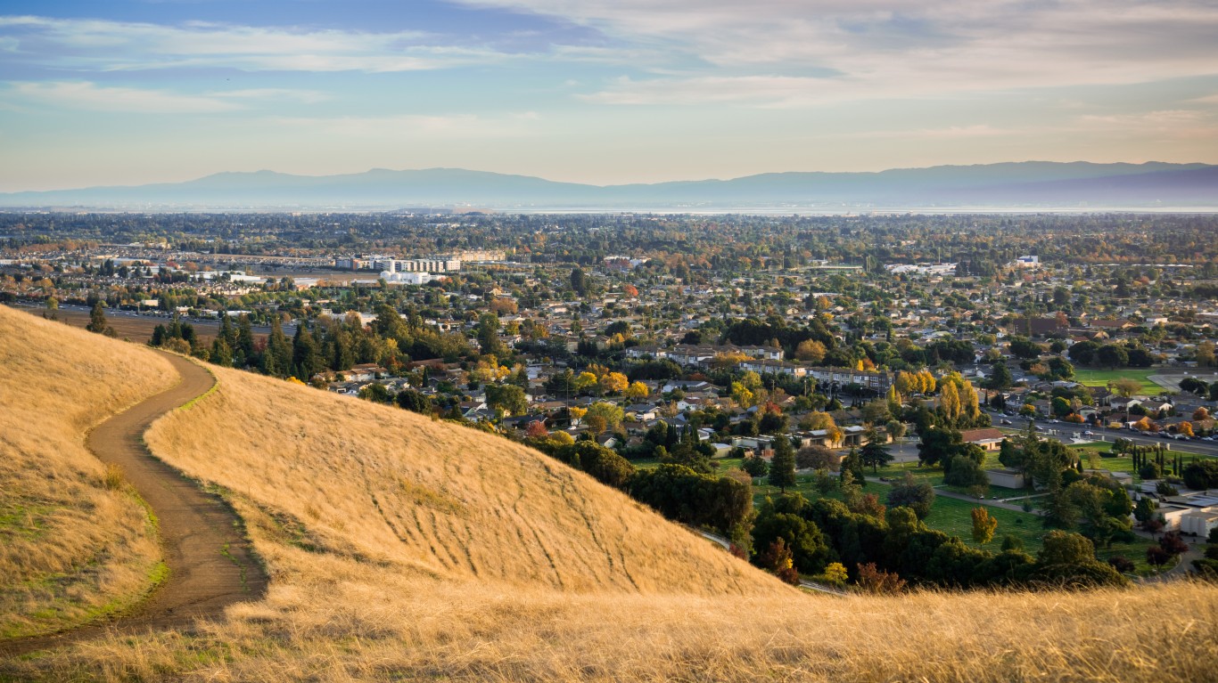
2. Santa Clara County, California
> Burned area as % of county land area: 26.4%
> Acres burned in county in 2020: 218,287
> Santa Clara County land area: 826,293 acres
> Major wildfires tracked in 2020: 4
> Largest fire in 2020: Del Puerto (75.7% of burned area)
[in-text-ad-2]
1. Marion County, Oregon
> Burned area as % of county land area: 29.7%
> Acres burned in county in 2020: 224,126
> Marion County land area: 755,558 acres
> Major wildfires tracked in 2020: 2
> Largest fire in 2020: Beachie Creek (58.2% of burned area)
Methodology
To identify the counties with the largest percentage of land area burned in 2020, 24/7 Wall St. reviewed the size, boundaries, and total acres burned in wildfires reported since the start of 2020. We used data from the Wildfire Perimeters and Archived Wildfire Perimeters shapefiles published by the federal wildland firefighting coordination group National Interagency Fire Center (NIFC).
We aggregated this data to determine the number of acres burned at the county level by using 2019 geographic boundary definitions from the Census Bureau, and divided the total acres burnt by total acreage of each county affected. To avoid double counting, we only considered the largest iteration of a fire that was absorbed by or absorbed another fire. Population figures came from the U.S. Census Bureau’s 2018 American Community Survey and are five-year estimates. All data is as of the latest year for which data was available.
Contact [email protected] for any questions or corrections.