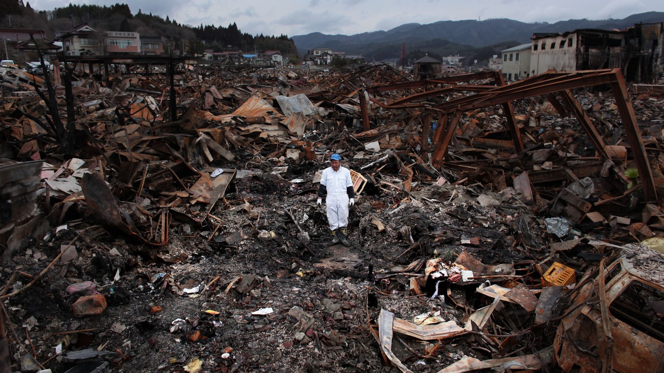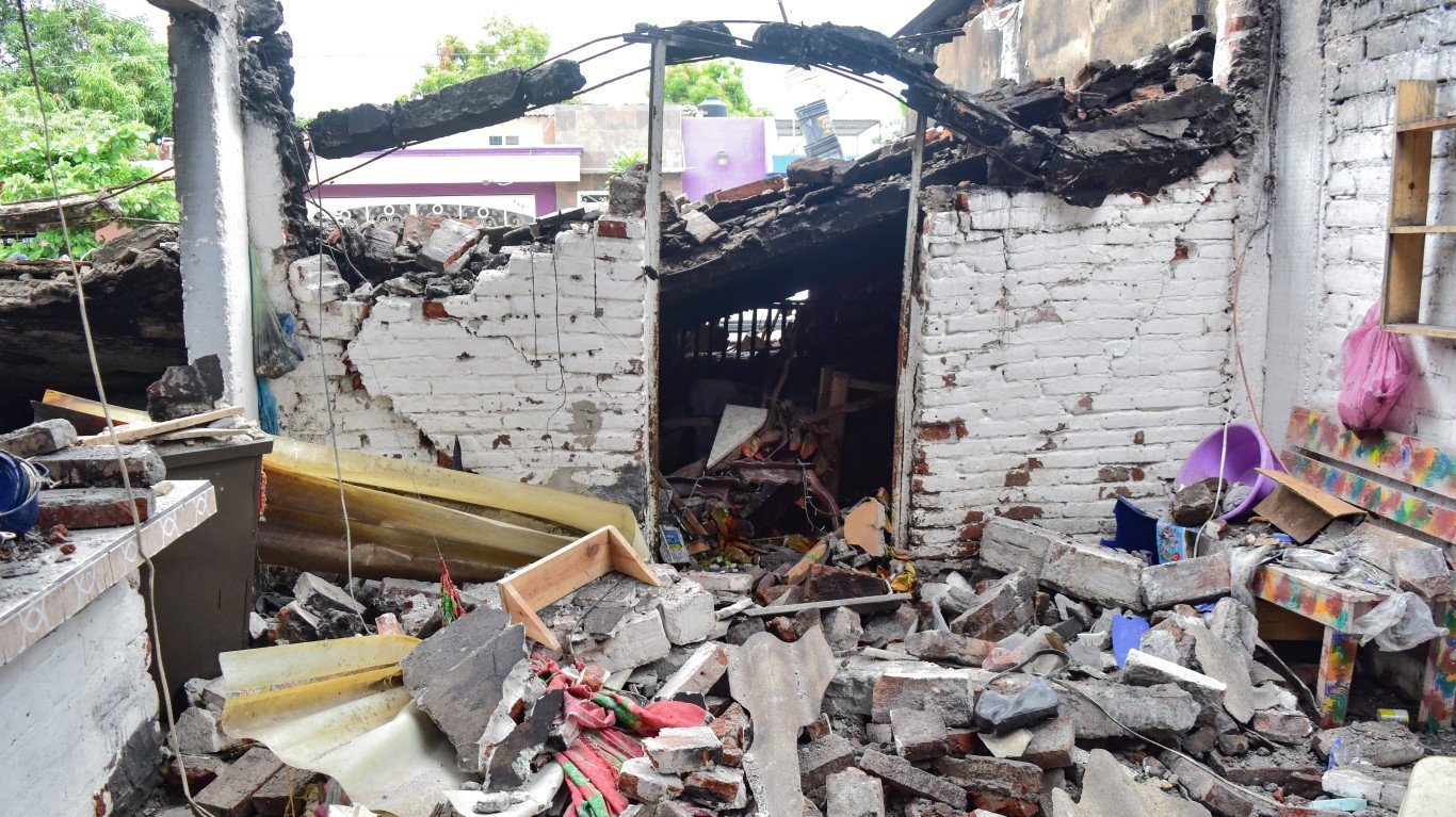
An eruption of the underwater Hunga-Tonga-Hunga-Ha’apai volcano triggered tsunami warnings throughout much of the Pacific, including the West Coast of the United States. It was a reminder of how dangerous these huge surges of water can be. On Christmas 2004, an earthquake under the Indian ocean triggered waves of water that killed over 230,000 people, most in a matter of hours.
In the U.S., the states that are most likely to be hit by tsunamis are basically all states that have ocean coastlines. (These are cities where hurricanes would cause the most damage.)
Some sophisticated systems have been created to protect people from tsunamis. The National Oceanic and Atmospheric Administration Tsunami Program runs the U.S. Tsunami Warning System. Its National Tsunami Warning Center covers the United States and Canada. The Pacific Tsunami Warning Center covers Hawaii and much of the Pacific.
According to the NOAA, “When an earthquake occurs, seismic networks provide information about its location, depth, and magnitude to help the warning centers determine if it may have generated a tsunami and if they should issue tsunami messages.” However, the most powerful tsunamis can produce waves that race at 500 miles per hour and create surges that are 100 feet high. At this force, the water could move well inland.
The National Tsunami Hazard Mitigation Program has compiled detailed maps of areas of the United States that are at risk of tsunami danger. USGS.gov notes that “all U.S. ocean coasts can be impacted by tsunamis” and provides information on how people can evacuate in the event of a tsunami.
Weather.gov keeps a tsunami map based on data from the National Tsunami Hazard Mitigation Program. In addition to states, the U.S. territories covered are Guam, American Samoa, Puerto Rico, the U.S. Virgin Islands, and the Northern Mariana Islands. The information includes both areas that could be inundated by water and evacuation maps.
24/7 Wall St. reviewed the map to identify the states that could be hit by tsunamis. States are listed alphabetically. (Here’s another list of how many tornadoes hit the U.S. each year since 1950.) Information on each area’s most recent tsunami came from NOAA’s National Centers for Environmental Information Natural Hazards tracker. It includes meteotsunamis, which are caused by severe winds and other storms.
Outside the continental United States, both Alaska and Hawaii are at risk, according to the analysis. Other states at risk include Alabama, California, Connecticut, Delaware, Florida, Georgia, Louisiana, Maine, Maryland, Massachusetts, Mississippi, New Jersey, New Hampshire, New York, North Carolina, Oregon, Rhode Island, South Carolina, Texas, Virginia, and Washington.
Click here to see these are the states most likely to be hit by a tsunami
Alabama
> Population: 5,024,279
> Most recent tsunami: None on record
[in-text-ad]
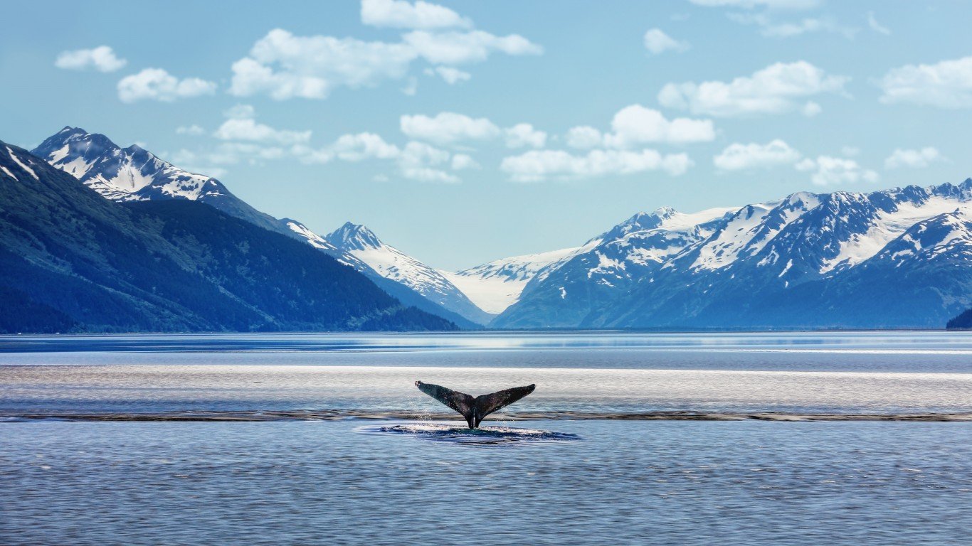
Alaska
> Population: 733,391
> Most recent tsunami: Jul. 29, 2021 at Kodiak Island
[recirclink id=1042091]
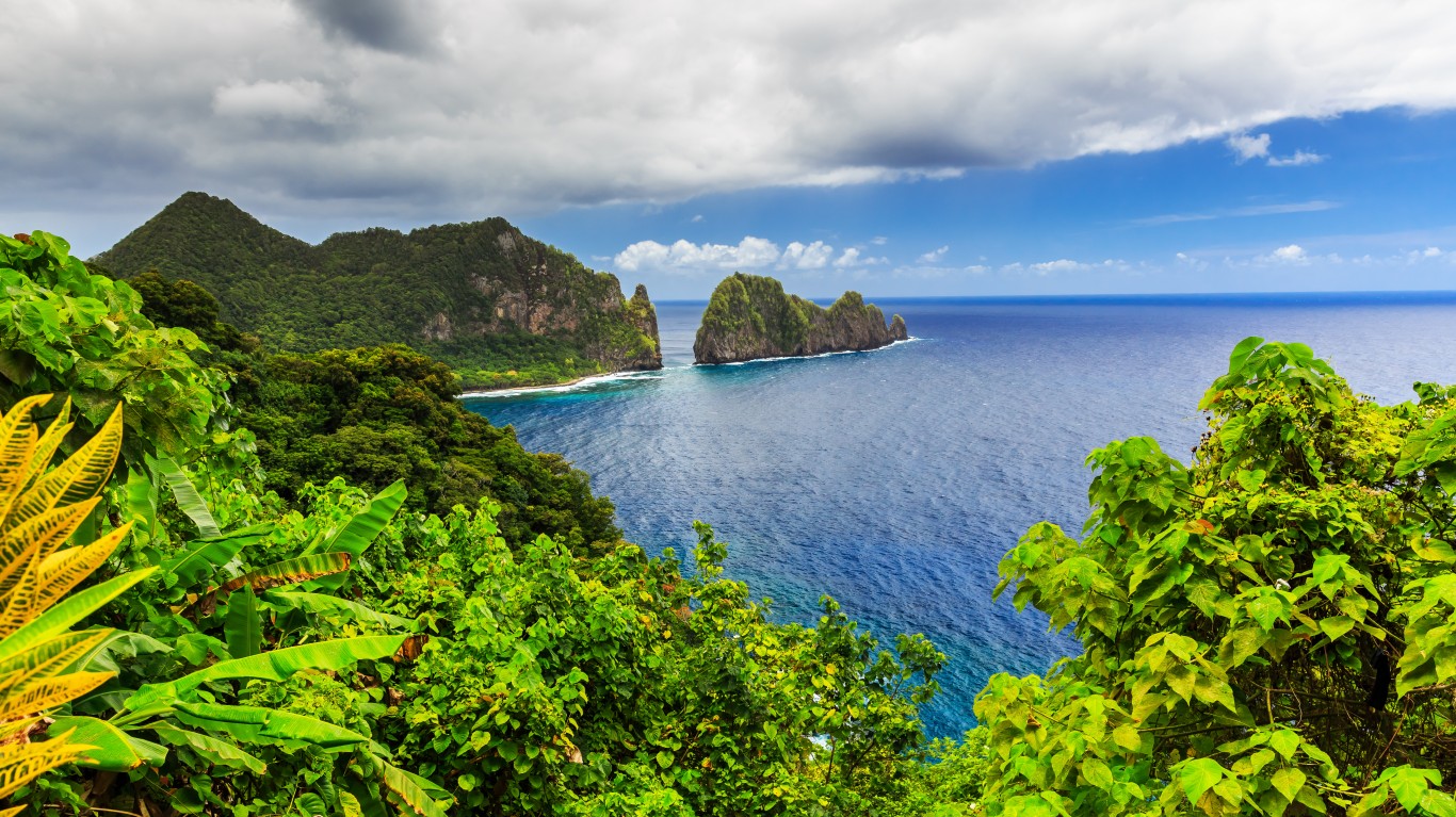
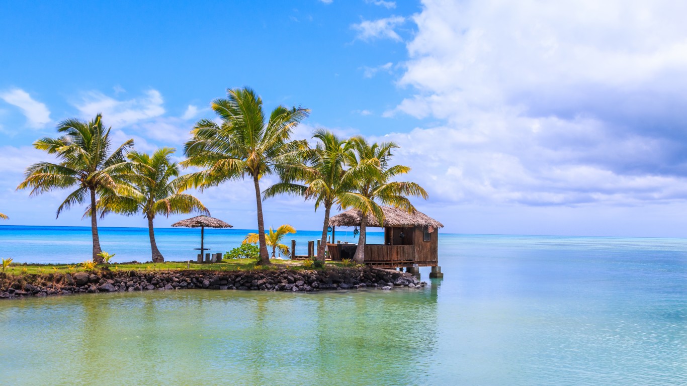
American Samoa
> Population: 49,710
> Most recent tsunami: August 1920, at Pago Pago
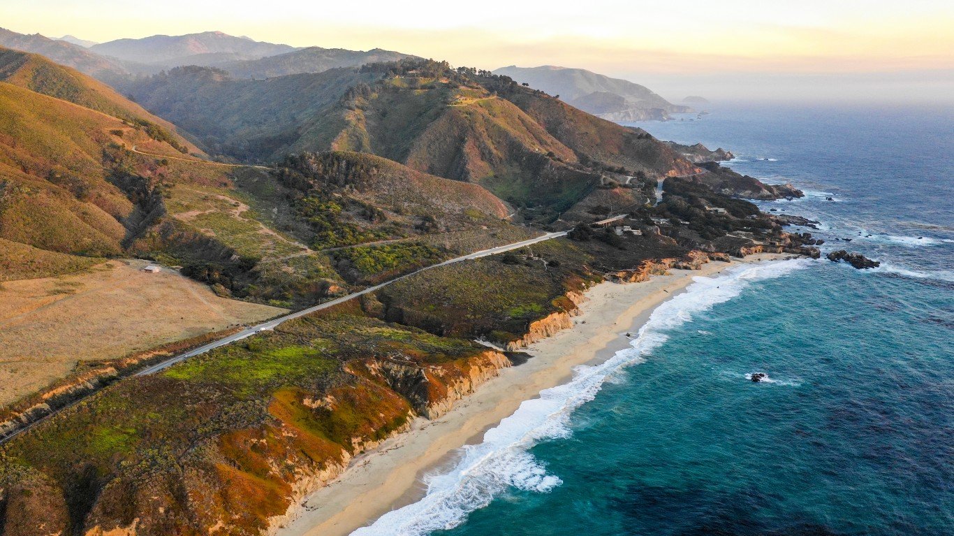
California
> Population: 39,538,223
> Most recent tsunami: Jun. 15, 2005 at Crescent City
[in-text-ad-2]
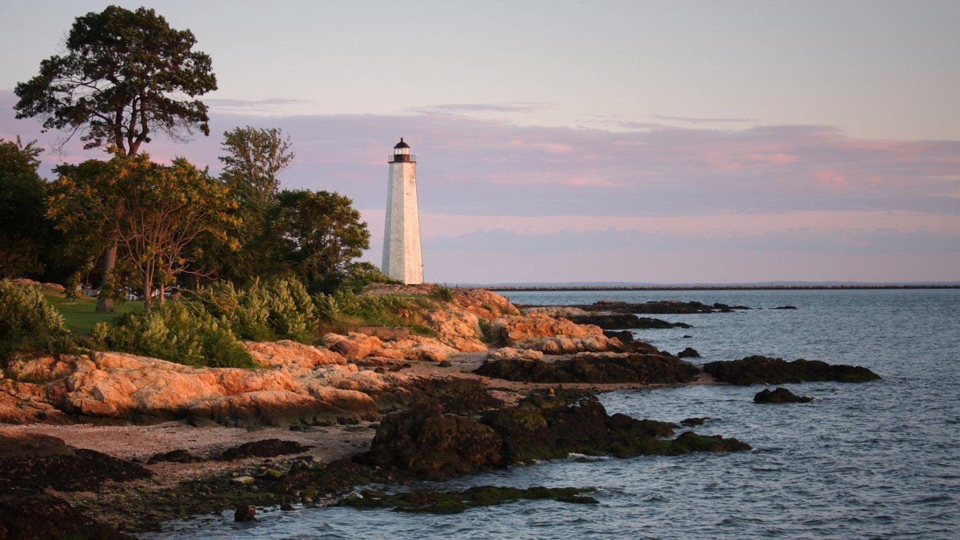
Connecticut
> Population: 3,605,944
> Most recent tsunami: May 15, 2018 at New Haven
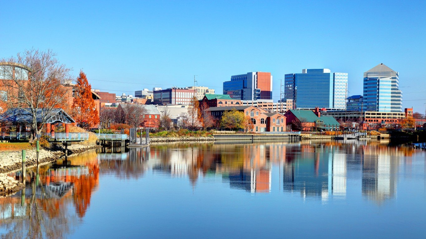
Delaware
> Population: 989,948
> Most recent tsunami: May 15, 2018 at Lewes
[in-text-ad]
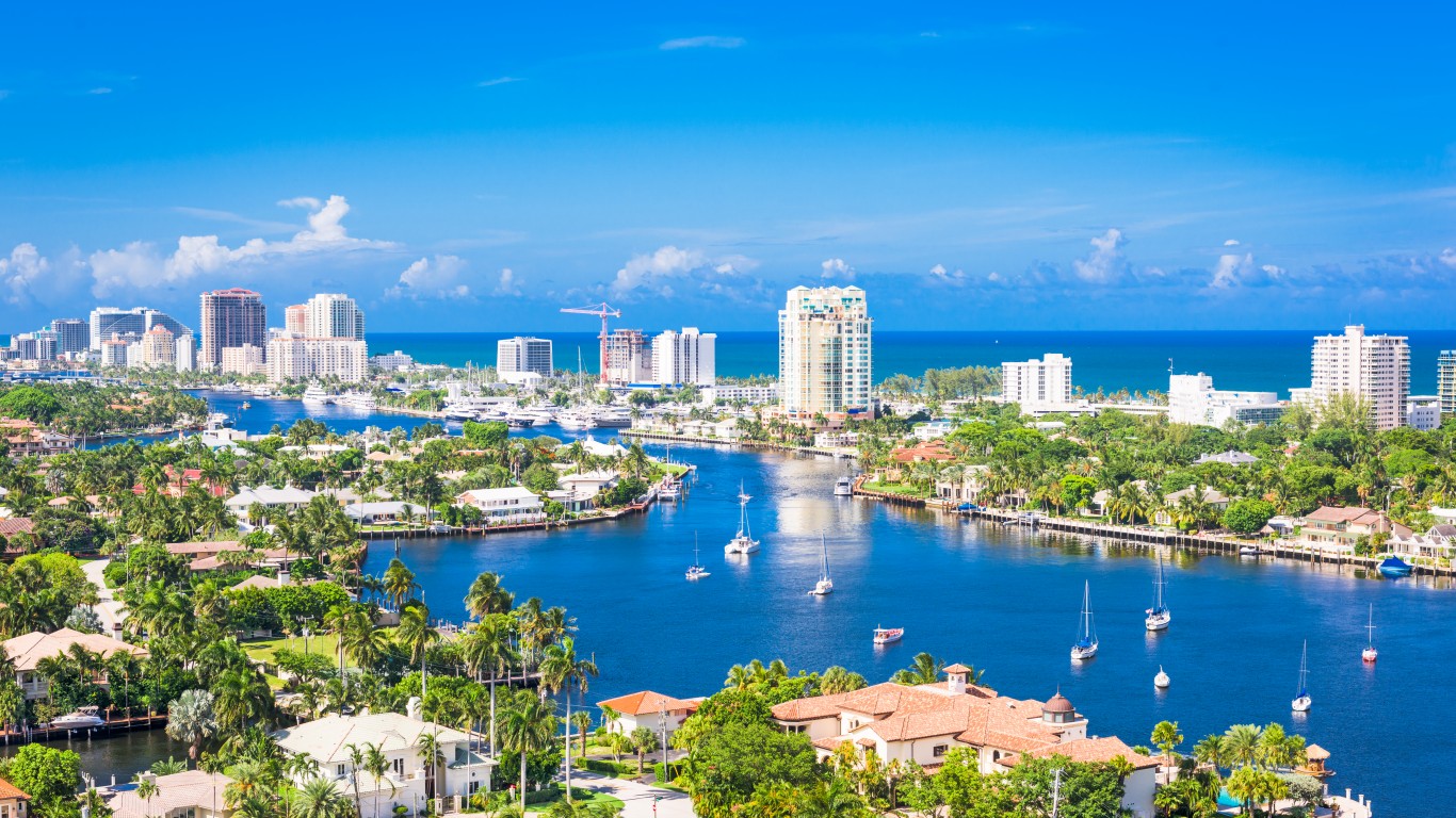
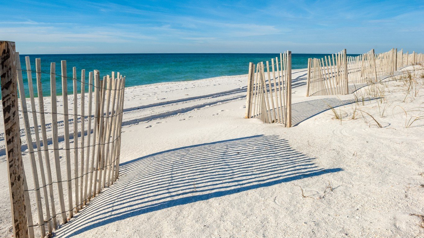
Florida
> Population: 21,538,187
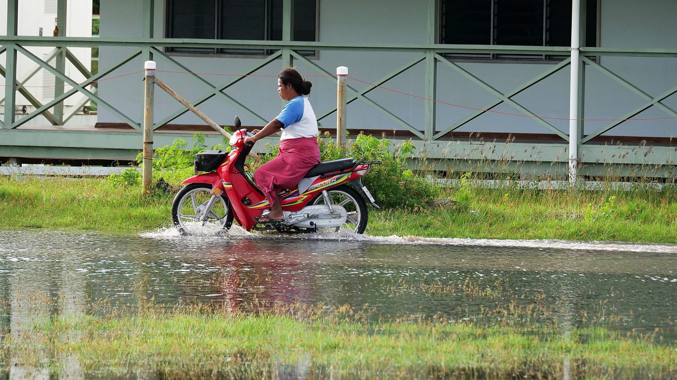
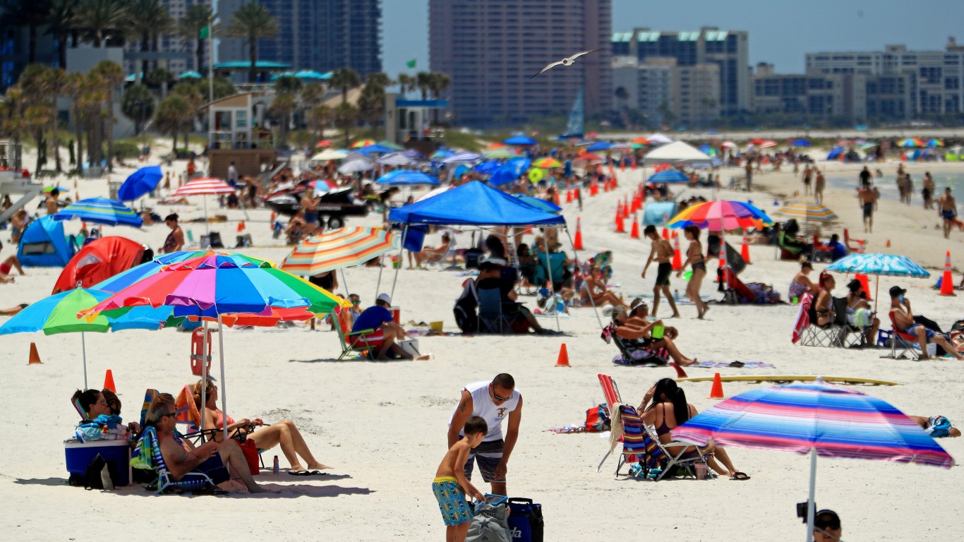
> Most recent tsunami: Jun. 13, 2020 at Clearwater Beach
[recirclink id=1029533]

Georgia
> Population: 10,711,908
> Most recent tsunami: None on record
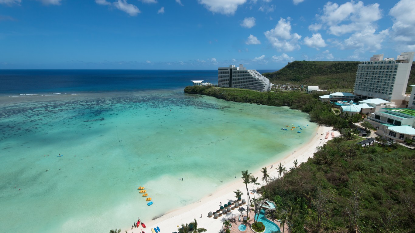
Guam
> Population: 153,836
> Most recent tsunami: Aug. 8, 1993 at Pago Bay
[in-text-ad-2]

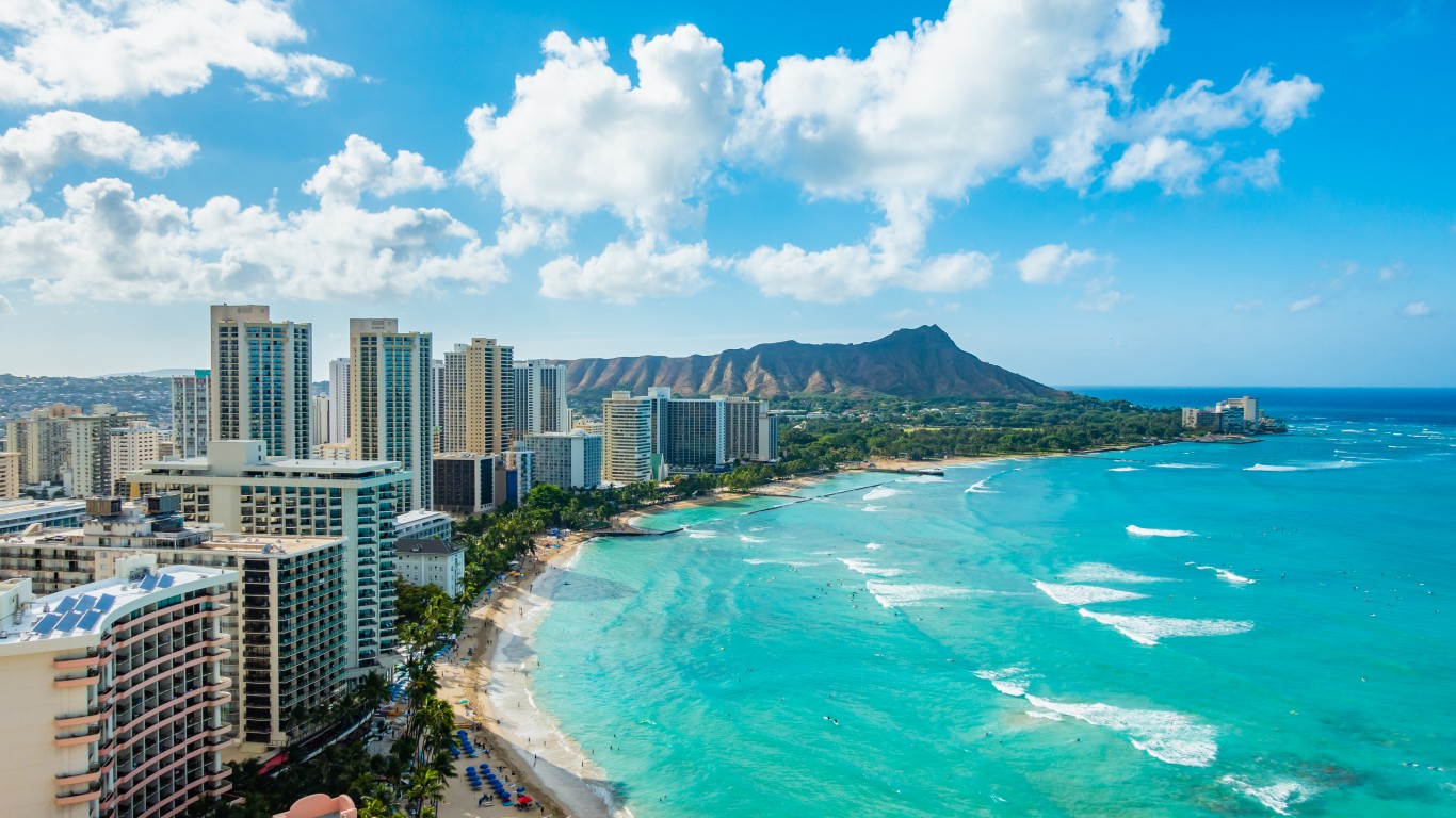
Hawaii
> Population: 1,455,271
> Most recent tsunami: May 4, 2018 at Kapoho
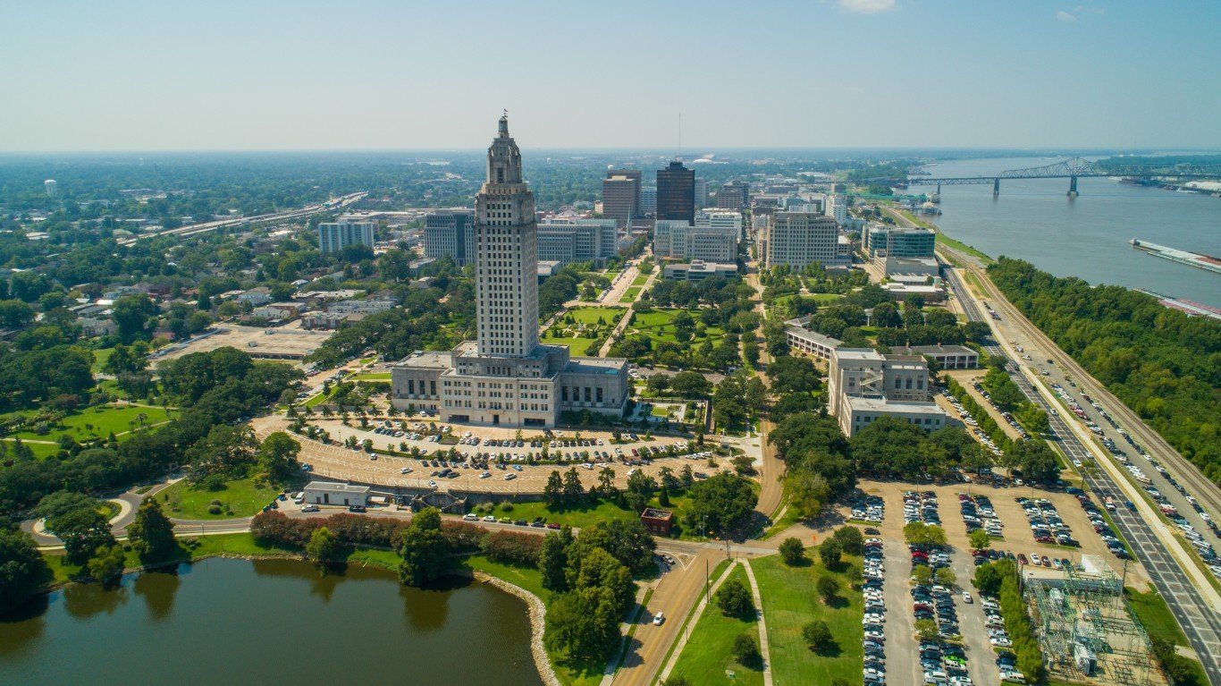
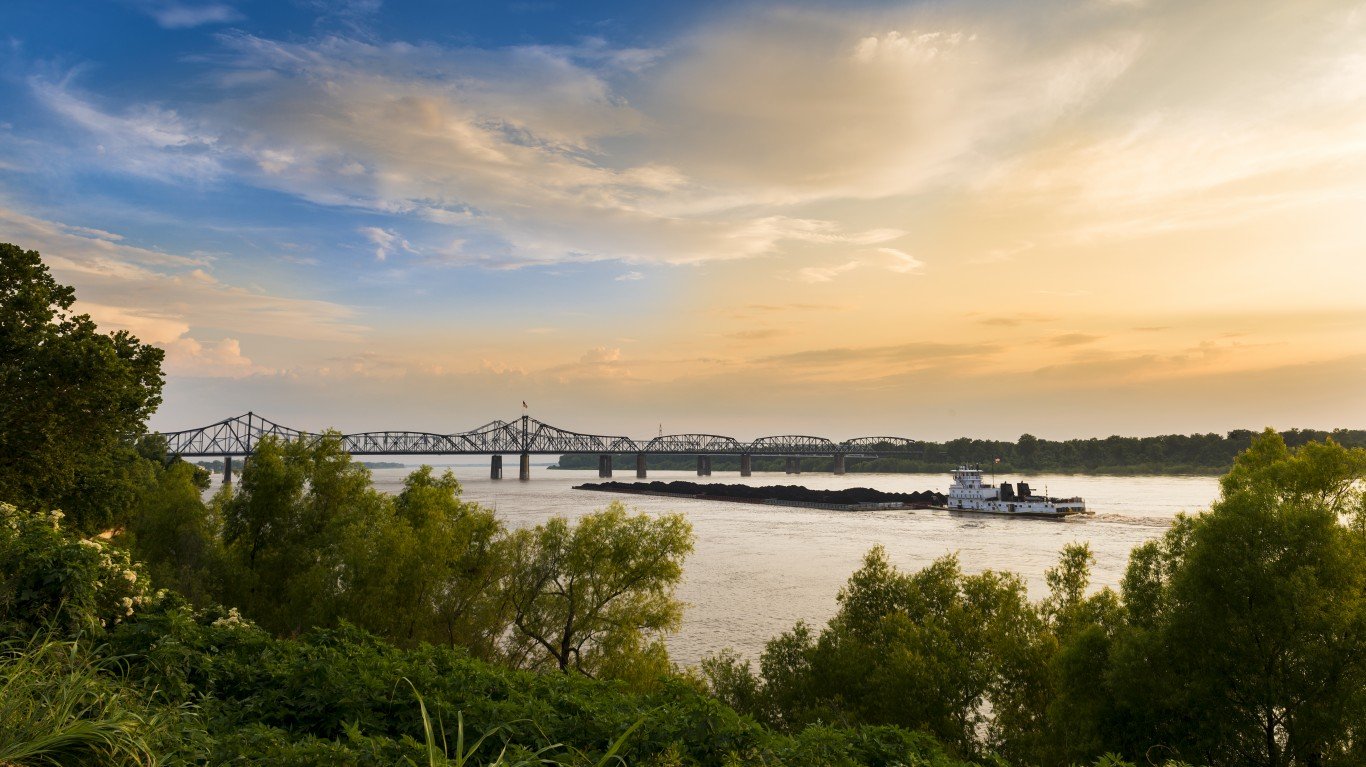
Louisiana
> Population: 4,657,757
> Most recent tsunami: None on record
[in-text-ad]
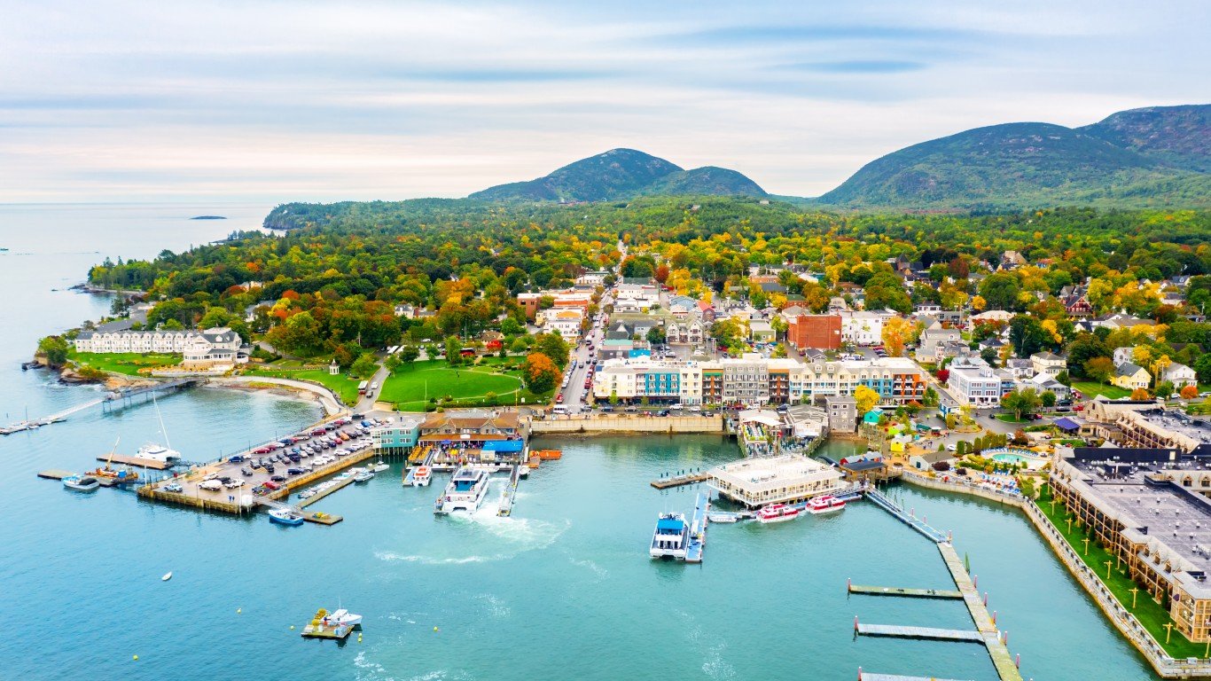
Maine
> Population: 1,362,359
> Most recent tsunami: Oct. 28, 2008 at Boothbay Harbor
[recirclink id=1012519]
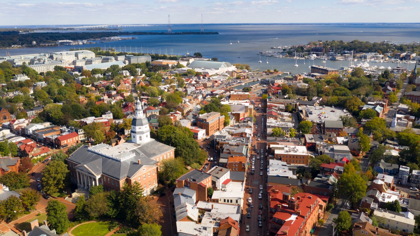
Maryland
> Population: 6,177,224
> Most recent tsunami: May 15, 2018 at Bishops Head

Massachusetts
> Population: 7,029,917
> Most recent tsunami: Nov. 18, 1755 east of Cape Ann
[in-text-ad-2]
Mississippi
> Population: 2,961,279
> Most recent tsunami: None on record

New Hampshire
> Population: 1,377,529
> Most recent tsunami: None on record
[in-text-ad]

New Jersey
> Population: 9,288,994
> Most recent tsunami: May 15, 2018 at Atlantic City
[recirclink id=872050]

New York
> Population: 20,201,249
> Most recent tsunami: May 15, 2018 at Kings Point

North Carolina
> Population: 10,439,388
> Most recent tsunami: None on record
[in-text-ad-2]
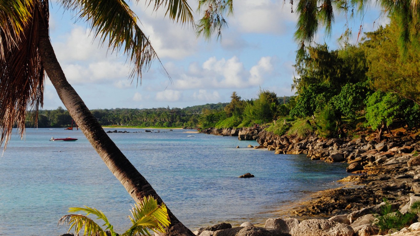
Northern Mariana Islands
> Population: 47,329
> Most recent tsunami: Aug. 13, 2010 at Saipan

Oregon
> Population: 4,237,256
> Most recent tsunami: Mar. 11, 2011 at Brookings
[in-text-ad]
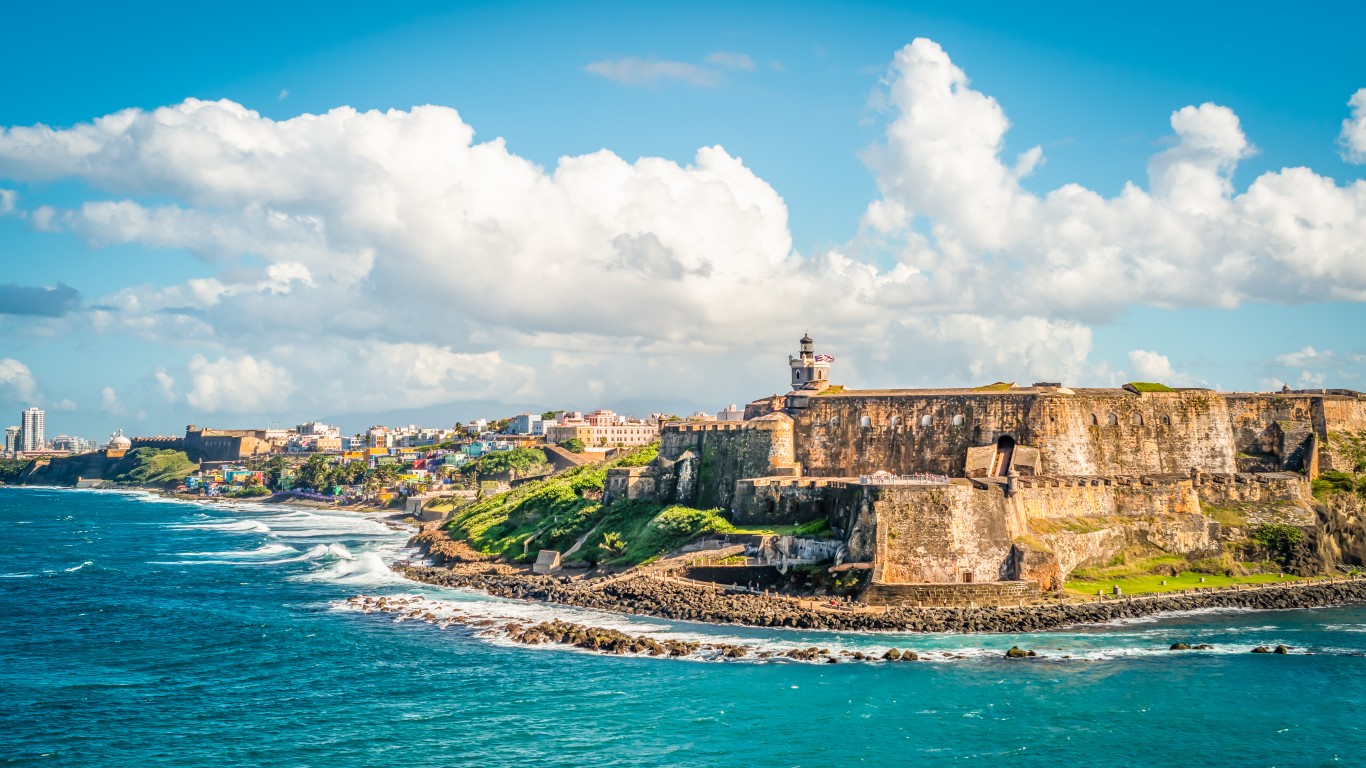
Puerto Rico
> Population: 3,285,874
> Most recent tsunami: Jan. 7, 2020 at Vieques
[recirclink id=1011339]
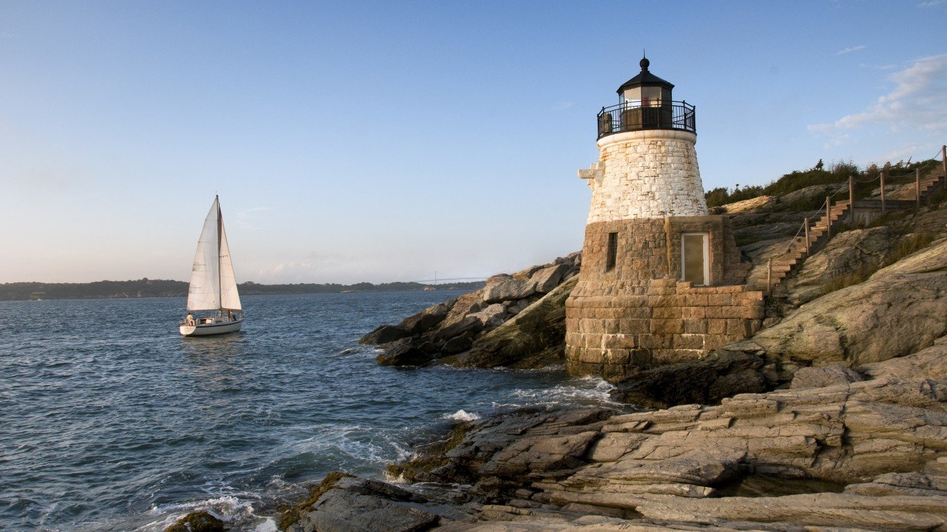
Rhode Island
> Population: 1,097,379
> Most recent tsunami: June 13, 2013 at Newport
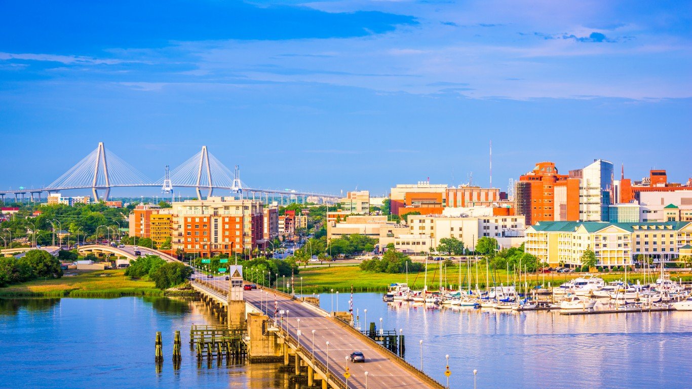
South Carolina
> Population: 5,118,425
> Most recent tsunami: None on record
[in-text-ad-2]

Texas
> Population: 29,145,505
> Most recent tsunami: None on record
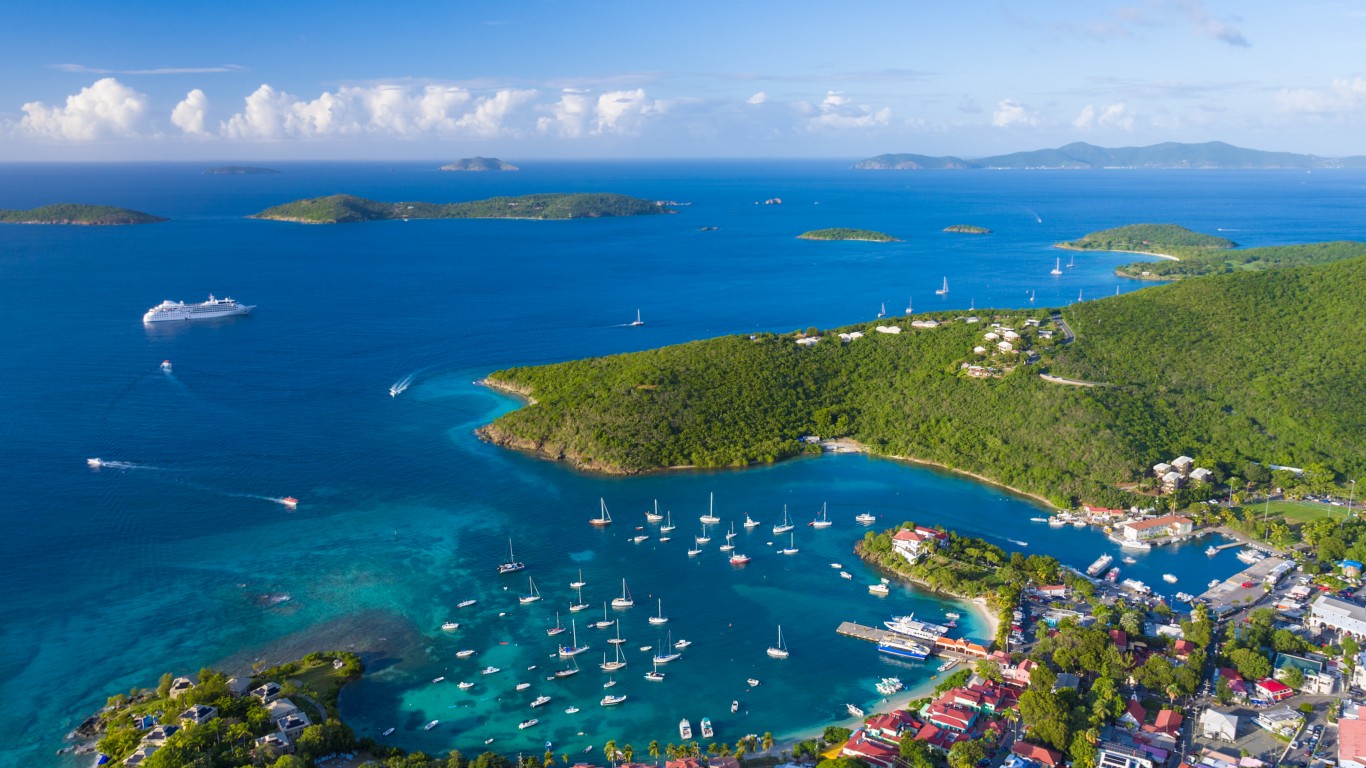
U.S. Virgin Islands
> Population: 87,146
> Most recent tsunami: Mar. 11, 1874 at Dominica
[in-text-ad]

Virginia
> Population: 8,631,393
> Most recent tsunami: None on record
[recirclink id=1042091]
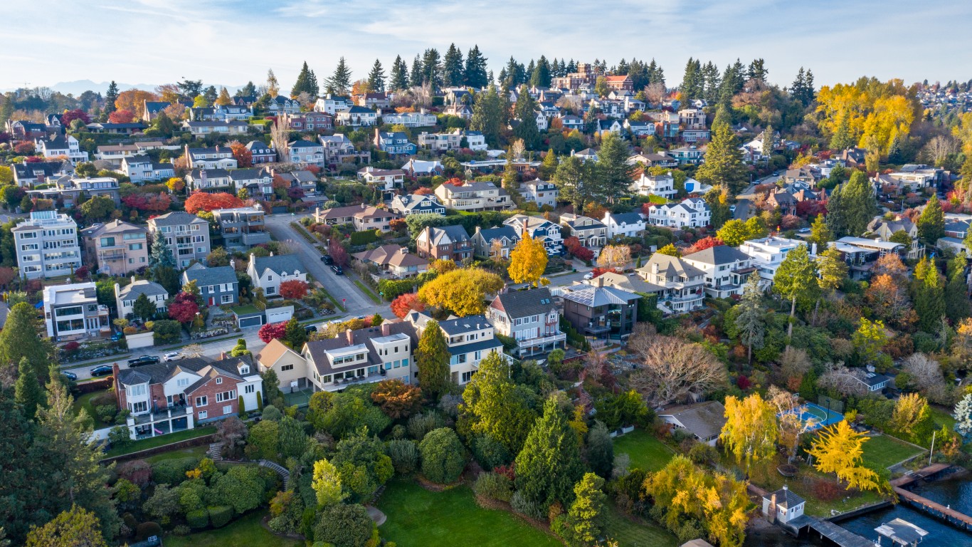
Washington
> Population: 7,705,281
> Most recent tsunami: Aug. 25, 2009 at Porcupine Bay Campground
Contact [email protected] for any questions or corrections.