Scientific research, at least the research released to the broader public, is tested largely by plausibility in the eyes of the uninitiated. Maps that show flood levels nearly by block and house prompt people to question how exact research can be when it examines the effects of things that may or may not happen many years from now. The Climate Central maps are fun to play with, but after a few minutes it becomes clear that they are nothing more than tools for a game. A game is not a very convincing way to show people what the dangers of global climate change are. It is nothing more than a cheap trick. It would have been better if the Climate Central had shown broad flood plans and left it at that.
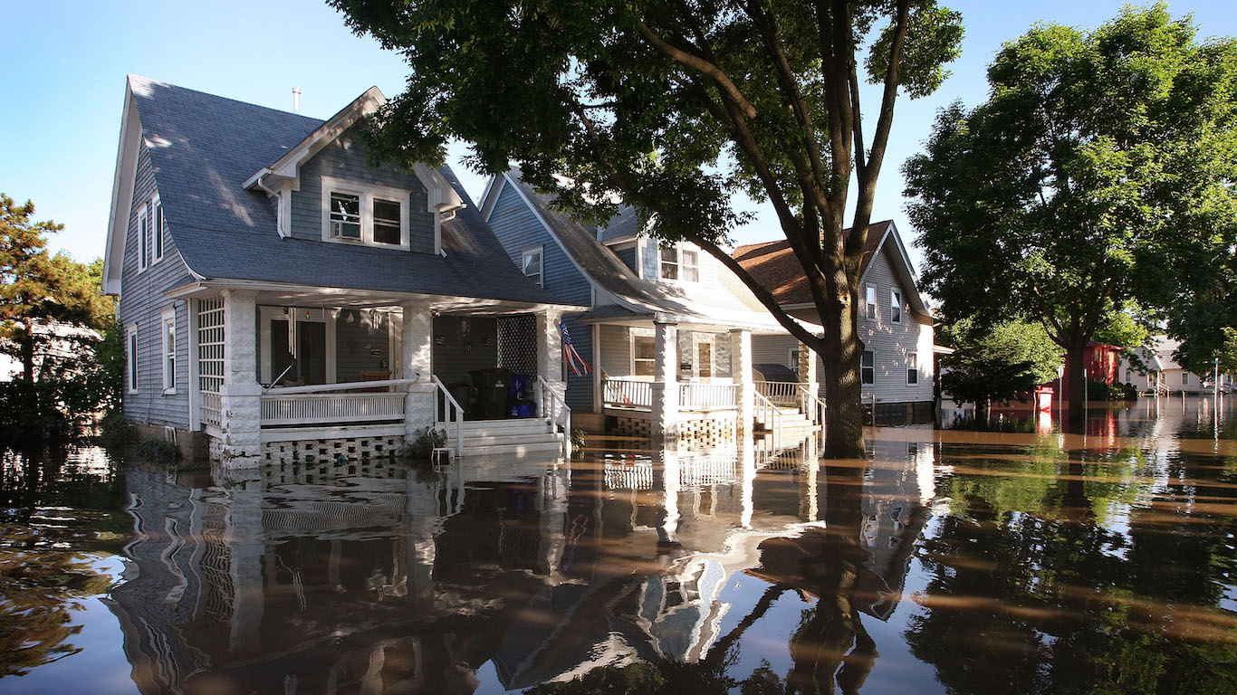
For people who live in New York City, the maps show that much of Manhattan could end up underwater. Central Park could be no better than an island surrounded by salt water from the bays that lead to the Atlantic Ocean. It may be that the people who live along the rivers that adjoin them in New York should abandon their homes before they are drowned in the oncoming water. It is worse in San Francisco. The time may come, within the lifetime of some people who live there, that Oakland and parts of Palo Alto become uninhabitable. And the Climate Central tools show the problems will be much, much worse in other large cities.
Unless Americans, and many other people around the world, end practices that cause heat-trapping pollution, much of the most-populated regions in the U.S. will be inhabitable. At least that is what the maps show.
Douglas A. McIntyre
Contact [email protected] for any questions or corrections.