When analyzing population shifts in the U.S., we tend to focus on larger trends of how many and where. For example, according to the 2020 census, all regions of the country recorded population growth over the past decade, which mirrored the nationwide trend of population growth — 7.4% in the decade. Yet the biggest gains were in the South and West, where growth hit 10.2% and 9.2%, respectively. The Midwest registered the lowest growth, at 3.1%.
Population shifts over the past nearly century and half, from 1880 to 2020, track those recent tilts to the Southern and Western states. Arizona had the highest population growth over that time, recording a nearly 177-fold jump in population to reach 7.2 million. Washington state came in a distant second with a nearly 103-fold increase to 7.7 million. Florida’s population grew by roughly 80 fold to 21.5 million.
It’s also interesting to see where people are relocating to within their home state. Most people stay close to home rather than pulling up stakes and migrating to another part of the country, so chances are they’re not going very far. People also move to places where there is a major city for better job prospects. According to a Move.org survey of 1,000 people who relocated in 2022, 43% of people moved within the same city, and 35% within the same state. (This is the population growth since 2000 in America’s largest cities.)
To determine how the population of every state has changed in the last 140 years, 24/7 Wall St. reviewed centers of population data from 1880 to 2020 from the U.S. Census Bureau. The Census explains that the center of population is a balance point — the point at which an imaginary flat scale of a state’s map would balance if every state resident had equal weight. Put another way, it is the average location where people within a state live.
In Arizona, the center of population shifted nearly 27 miles northwest to Maricopa County, the state’s most populous county and the fourth most populous in the nation. The county includes the state capital, Phoenix, and its suburb, Tempe.
What made Arizona such a magnet for new residents is the invention of air conditioning in the past century, according to James N. Gregory, a history professor at the University of Washington. He told the Anchorage Daily News that air conditioning made the state’s hot dry climate more bearable.
California’s center of population shift was second largest, at 205 miles southeast. Located 130 miles north of Los Angeles, Kern County is now the center of population in the Golden State. It’s the 11th most populated county in the state, with Bakersfield as its county seat.
Nevada had the largest shift in its center of population since 1880, shifting nearly 210 miles southeast to Nye County. Florida had the third largest center of population shift, 164 miles southeast to Polk County. At the other end of the spectrum, Rhode Island had the smallest shift, just 1.2 miles.
Vermont and Iowa had the smallest population growth from 1880 to 2020. Vermont’s population inched up a mere 1.9-fold to 643,077. Its center of population as of 2020, which shifted only 7 miles since 1880, was Washington County. The county includes the small town of Waitsfield, about 20 miles from the state capital of Montpelier. (This state had the biggest population drop in the past 10 years.)
Iowa didn’t fare much better with a 2-fold population increase to 3.2 million. Its center of population, which also shifted just 7 miles, is Marshall County, with Melbourne, a rural town with less than 800 residents, the closest to the center.
Click here to see how the population of every state has changed in the last 100 years
Click here to read our detailed methodology
Alabama
> Shift in center of population, 1880 to 2020: 11.5 miles northwest
> Location of 2020 center of population: Chilton County
> Nearest place to 2020 center of population: Jemison, AL (3.3 miles away)
> Population growth, 1880 to 2020: +3.8 million (4.0 fold increase)
> Total population, 2020: 5.0 million
[in-text-ad]
Alaska
> Shift in center of population, 1960 to 2020: 18.0 miles northwest
> Location of 2020 center of population: Anchorage Municipality
> Nearest place to 2020 center of population: Knik River, AK (4.0 miles away)
> Population growth, 1960 to 2020: +507,224 (3.2 fold increase)
> Total population, 2020: 733,391
[recirclink id=1018017]
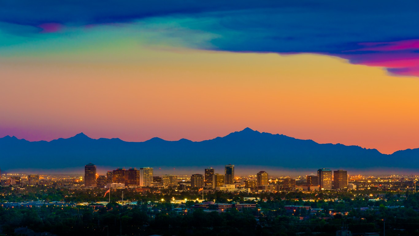
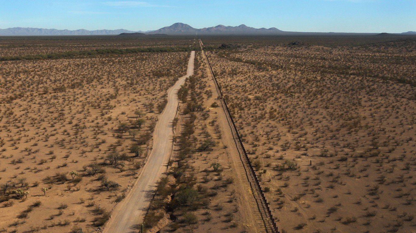
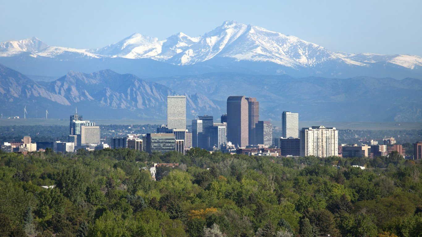
Arizona
> Shift in center of population, 1880 to 2020: 26.9 miles northwest
> Location of 2020 center of population: Maricopa County
> Nearest place to 2020 center of population: Tempe, AZ (3.1 miles away)
> Population growth, 1880 to 2020: +7.1 million (176.8 fold increase)
> Total population, 2020: 7.2 million

Arkansas
> Shift in center of population, 1880 to 2020: 22.1 miles northwest
> Location of 2020 center of population: Conway County
> Nearest place to 2020 center of population: Morrilton, AR (3.4 miles away)
> Population growth, 1880 to 2020: +2.2 million (3.8 fold increase)
> Total population, 2020: 3.0 million
[in-text-ad-2]

California
> Shift in center of population, 1880 to 2020: 205.3 miles southeast
> Location of 2020 center of population: Kern County
> Nearest place to 2020 center of population: Smith Corner, CA (4.1 miles away)
> Population growth, 1880 to 2020: +38.7 million (45.7 fold increase)
> Total population, 2020: 39.5 million
Colorado
> Shift in center of population, 1880 to 2020: 36.4 miles northeast
> Location of 2020 center of population: Jefferson County
> Nearest place to 2020 center of population: Ken Caryl, CO (4.8 miles away)
> Population growth, 1880 to 2020: +5.6 million (29.7 fold increase)
> Total population, 2020: 5.8 million
[in-text-ad]

Connecticut
> Shift in center of population, 1880 to 2020: 6.6 miles southwest
> Location of 2020 center of population: New Haven County
> Nearest place to 2020 center of population: Cheshire Village, CT (1.2 miles away)
> Population growth, 1880 to 2020: +3.0 million (5.8 fold increase)
> Total population, 2020: 3.6 million
[recirclink id=1015895]
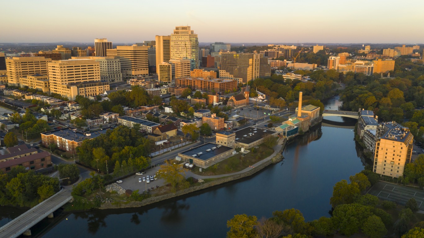
Delaware
> Shift in center of population, 1880 to 2020: 12.0 miles northeast
> Location of 2020 center of population: Kent County
> Nearest place to 2020 center of population: Smyrna, DE (4.3 miles away)
> Population growth, 1880 to 2020: +843,340 (6.8 fold increase)
> Total population, 2020: 989,948
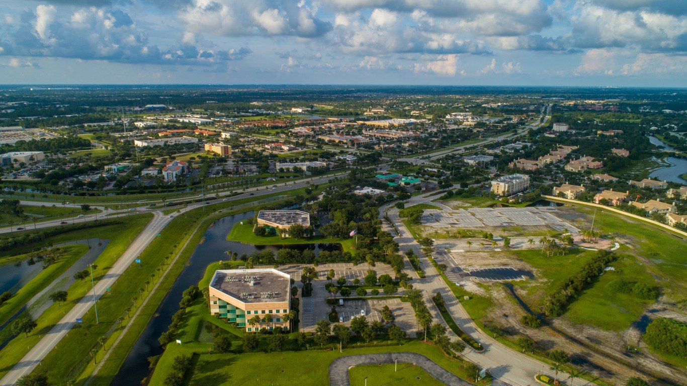
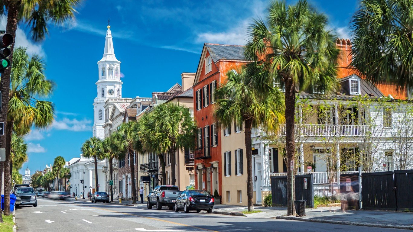
Florida
> Shift in center of population, 1880 to 2020: 164.3 miles southeast
> Location of 2020 center of population: Polk County
> Nearest place to 2020 center of population: Alturas, FL (2.8 miles away)
> Population growth, 1880 to 2020: +21.3 million (79.9 fold increase)
> Total population, 2020: 21.5 million
[in-text-ad-2]

Georgia
> Shift in center of population, 1880 to 2020: 28.2 miles northwest
> Location of 2020 center of population: Newton County
> Nearest place to 2020 center of population: Jackson, GA (9.3 miles away)
> Population growth, 1880 to 2020: +9.2 million (6.9 fold increase)
> Total population, 2020: 10.7 million

Hawaii
> Shift in center of population, 1930 to 2020: 4.5 miles northwest
> Location of 2020 center of population: Kaiwi Channel
> Nearest place to 2020 center of population: Maunaloa, HI (17.7 miles away)
> Population growth, 1930 to 2020: +1.1 million (4.0 fold increase)
> Total population, 2020: 1.5 million
[in-text-ad]
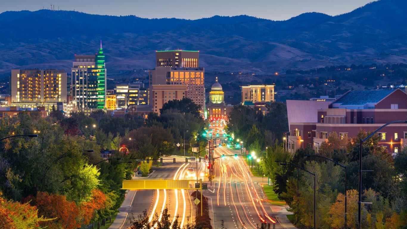
Idaho
> Shift in center of population, 1880 to 2020: 43.8 miles northwest
> Location of 2020 center of population: Boise County
> Nearest place to 2020 center of population: Stanley, ID (14.4 miles away)
> Population growth, 1880 to 2020: +1.8 million (56.4 fold increase)
> Total population, 2020: 1.8 million
[recirclink id=981787]

Illinois
> Shift in center of population, 1880 to 2020: 67.3 miles northeast
> Location of 2020 center of population: Grundy County
> Nearest place to 2020 center of population: Carbon Hill, IL (3.9 miles away)
> Population growth, 1880 to 2020: +9.7 million (4.2 fold increase)
> Total population, 2020: 12.8 million
Indiana
> Shift in center of population, 1880 to 2020: 19.7 miles northwest
> Location of 2020 center of population: Boone County
> Nearest place to 2020 center of population: Sheridan, IN (1.9 miles away)
> Population growth, 1880 to 2020: +4.8 million (3.4 fold increase)
> Total population, 2020: 6.8 million
[in-text-ad-2]

Iowa
> Shift in center of population, 1880 to 2020: 6.9 miles northwest
> Location of 2020 center of population: Marshall County
> Nearest place to 2020 center of population: Melbourne, IA (3.4 miles away)
> Population growth, 1880 to 2020: +1.6 million (2.0 fold increase)
> Total population, 2020: 3.2 million

Kansas
> Shift in center of population, 1880 to 2020: 17.1 miles southeast
> Location of 2020 center of population: Chase County
> Nearest place to 2020 center of population: Dunlap, KS (7.0 miles away)
> Population growth, 1880 to 2020: +1.9 million (2.9 fold increase)
> Total population, 2020: 2.9 million
[in-text-ad]

Kentucky
> Shift in center of population, 1880 to 2020: 13.2 miles northeast
> Location of 2020 center of population: Washington County
> Nearest place to 2020 center of population: Chaplin, KY (4.7 miles away)
> Population growth, 1880 to 2020: +2.9 million (2.7 fold increase)
> Total population, 2020: 4.5 million
[recirclink id=975197]

Louisiana
> Shift in center of population, 1880 to 2020: 11.5 miles southwest
> Location of 2020 center of population: Pointe Coupee Parish
> Nearest place to 2020 center of population: New Roads, LA (1.2 miles away)
> Population growth, 1880 to 2020: +3.7 million (5.0 fold increase)
> Total population, 2020: 4.7 million

Maine
> Shift in center of population, 1880 to 2020: 46.3 miles southwest
> Location of 2020 center of population: Kennebec County
> Nearest place to 2020 center of population: Farmingdale, ME (1.5 miles away)
> Population growth, 1880 to 2020: +713,423 (2.1 fold increase)
> Total population, 2020: 1.4 million
[in-text-ad-2]
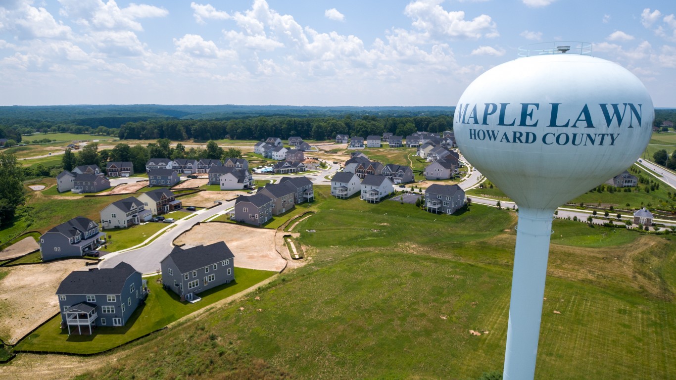
Maryland
> Shift in center of population, 1880 to 2020: 6.2 miles southwest
> Location of 2020 center of population: Howard County
> Nearest place to 2020 center of population: Savage, MD (1.2 miles away)
> Population growth, 1880 to 2020: +5.2 million (6.6 fold increase)
> Total population, 2020: 6.2 million

Massachusetts
> Shift in center of population, 1880 to 2020: 9.3 miles southeast
> Location of 2020 center of population: Middlesex County
> Nearest place to 2020 center of population: Cochituate, MA (3.7 miles away)
> Population growth, 1880 to 2020: +5.2 million (3.9 fold increase)
> Total population, 2020: 7.0 million
[in-text-ad]
Michigan
> Shift in center of population, 1880 to 2020: 25.5 miles southeast
> Location of 2020 center of population: Shiawassee County
> Nearest place to 2020 center of population: Morrice, MI (2.5 miles away)
> Population growth, 1880 to 2020: +8.4 million (6.2 fold increase)
> Total population, 2020: 10.1 million
[recirclink id=968112]

Minnesota
> Shift in center of population, 1880 to 2020: 28.9 miles northeast
> Location of 2020 center of population: Hennepin County
> Nearest place to 2020 center of population: Rogers, MN (0.8 miles away)
> Population growth, 1880 to 2020: +4.9 million (7.3 fold increase)
> Total population, 2020: 5.7 million

Mississippi
> Shift in center of population, 1880 to 2020: 33.5 miles southeast
> Location of 2020 center of population: Scott County
> Nearest place to 2020 center of population: Lena, MS (2.1 miles away)
> Population growth, 1880 to 2020: +1.8 million (2.6 fold increase)
> Total population, 2020: 3.0 million
[in-text-ad-2]
Missouri
> Shift in center of population, 1880 to 2020: 21.5 miles southeast
> Location of 2020 center of population: Cole County
> Nearest place to 2020 center of population: St. Thomas, MO (4.7 miles away)
> Population growth, 1880 to 2020: +4.0 million (2.8 fold increase)
> Total population, 2020: 6.2 million
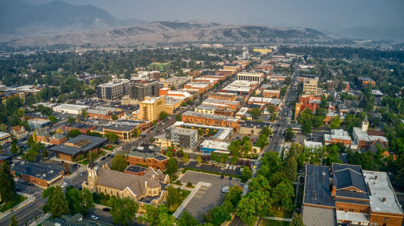
Montana
> Shift in center of population, 1880 to 2020: 32.2 miles northeast
> Location of 2020 center of population: Meagher County
> Nearest place to 2020 center of population: York, MT (20.8 miles away)
> Population growth, 1880 to 2020: +1.0 million (27.7 fold increase)
> Total population, 2020: 1.1 million
[in-text-ad]
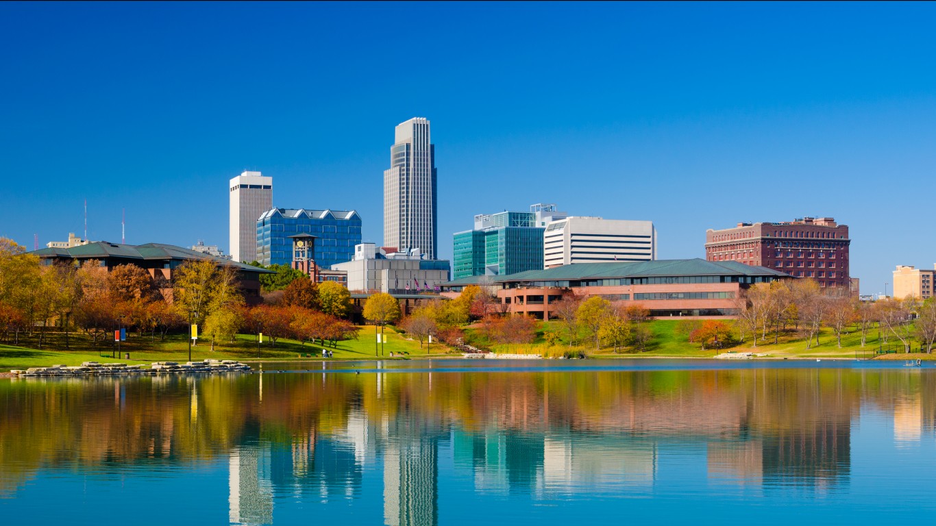
Nebraska
> Shift in center of population, 1880 to 2020: 15.5 miles northeast
> Location of 2020 center of population: Butler County
> Nearest place to 2020 center of population: Garrison, NE (3.1 miles away)
> Population growth, 1880 to 2020: +1.5 million (4.3 fold increase)
> Total population, 2020: 2.0 million
[recirclink id=1018017]

Nevada
> Shift in center of population, 1880 to 2020: 209.6 miles southeast
> Location of 2020 center of population: Nye County
> Nearest place to 2020 center of population: Beatty, NV (30.4 miles away)
> Population growth, 1880 to 2020: +3.0 million (49.9 fold increase)
> Total population, 2020: 3.1 million

New Hampshire
> Shift in center of population, 1880 to 2020: 21.3 miles southeast
> Location of 2020 center of population: Merrimack County
> Nearest place to 2020 center of population: Suncook, NH (1.0 miles away)
> Population growth, 1880 to 2020: +1.0 million (4.0 fold increase)
> Total population, 2020: 1.4 million
[in-text-ad-2]

New Jersey
> Shift in center of population, 1880 to 2020: 4.9 miles northeast
> Location of 2020 center of population: Middlesex County
> Nearest place to 2020 center of population: Milltown, NJ (1.0 miles away)
> Population growth, 1880 to 2020: +8.2 million (8.2 fold increase)
> Total population, 2020: 9.3 million

New Mexico
> Shift in center of population, 1880 to 2020: 39.1 miles southwest
> Location of 2020 center of population: Torrance County
> Nearest place to 2020 center of population: Punta de Agua, NM (2.3 miles away)
> Population growth, 1880 to 2020: +2.0 million (17.7 fold increase)
> Total population, 2020: 2.1 million
[in-text-ad]

New York
> Shift in center of population, 1880 to 2020: 40.2 miles southeast
> Location of 2020 center of population: Orange County
> Nearest place to 2020 center of population: Otisville, NY (2.7 miles away)
> Population growth, 1880 to 2020: +15.1 million (4.0 fold increase)
> Total population, 2020: 20.2 million
[recirclink id=1015895]

North Carolina
> Shift in center of population, 1880 to 2020: 21.7 miles southwest
> Location of 2020 center of population: Randolph County
> Nearest place to 2020 center of population: Seagrove, NC (6.0 miles away)
> Population growth, 1880 to 2020: +9.0 million (7.5 fold increase)
> Total population, 2020: 10.4 million
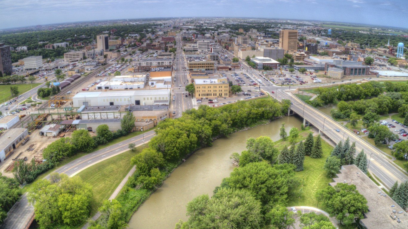
North Dakota
> Shift in center of population, 1880 to 2020: 63.9 miles northwest
> Location of 2020 center of population: Wells County
> Nearest place to 2020 center of population: Sykeston, ND (9.0 miles away)
> Population growth, 1880 to 2020: +742,185 (21.1 fold increase)
> Total population, 2020: 779,094
[in-text-ad-2]

Ohio
> Shift in center of population, 1880 to 2020: 8.7 miles northeast
> Location of 2020 center of population: Morrow County
> Nearest place to 2020 center of population: Fulton, OH (2.4 miles away)
> Population growth, 1880 to 2020: +8.6 million (3.7 fold increase)
> Total population, 2020: 11.8 million

Oklahoma
> Shift in center of population, 1890 to 2020: 29.6 miles northwest
> Location of 2020 center of population: Lincoln County
> Nearest place to 2020 center of population: Sparks, OK (2.0 miles away)
> Population growth, 1890 to 2020: +3.7 million (15.3 fold increase)
> Total population, 2020: 4.0 million
[in-text-ad]
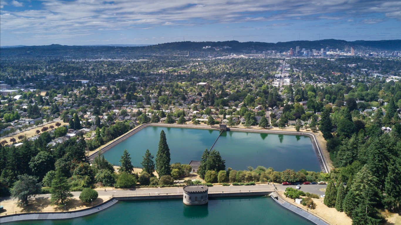
Oregon
> Shift in center of population, 1880 to 2020: 15.6 miles northwest
> Location of 2020 center of population: Linn County
> Nearest place to 2020 center of population: Lyons, OR (2.1 miles away)
> Population growth, 1880 to 2020: +4.1 million (24.2 fold increase)
> Total population, 2020: 4.2 million
[recirclink id=981787]

Pennsylvania
> Shift in center of population, 1880 to 2020: 14.6 miles southeast
> Location of 2020 center of population: Dauphin County
> Nearest place to 2020 center of population: New Buffalo, PA (0.8 miles away)
> Population growth, 1880 to 2020: +8.7 million (3.0 fold increase)
> Total population, 2020: 13.0 million

Rhode Island
> Shift in center of population, 1880 to 2020: 1.2 miles southeast
> Location of 2020 center of population: Providence County
> Nearest place to 2020 center of population: Cranston, RI (2.0 miles away)
> Population growth, 1880 to 2020: +820,848 (4.0 fold increase)
> Total population, 2020: 1.1 million
[in-text-ad-2]
South Carolina
> Shift in center of population, 1880 to 2020: 3.1 miles northwest
> Location of 2020 center of population: Richland County
> Nearest place to 2020 center of population: Forest Acres, SC (1.5 miles away)
> Population growth, 1880 to 2020: +4.1 million (5.1 fold increase)
> Total population, 2020: 5.1 million
South Dakota
> Shift in center of population, 1880 to 2020: 30.9 miles southwest
> Location of 2020 center of population: Jerauld County
> Nearest place to 2020 center of population: Spring Valley Colony, SD (4.2 miles away)
> Population growth, 1880 to 2020: +788,399 (9.0 fold increase)
> Total population, 2020: 886,667
[in-text-ad]

Tennessee
> Shift in center of population, 1880 to 2020: 17.5 miles southeast
> Location of 2020 center of population: Rutherford County
> Nearest place to 2020 center of population: Murfreesboro, TN (5.5 miles away)
> Population growth, 1880 to 2020: +5.4 million (4.5 fold increase)
> Total population, 2020: 6.9 million
[recirclink id=975197]
Texas
> Shift in center of population, 1880 to 2020: 50.7 miles southwest
> Location of 2020 center of population: Bell County
> Nearest place to 2020 center of population: Holland, TX (4.6 miles away)
> Population growth, 1880 to 2020: +27.6 million (18.3 fold increase)
> Total population, 2020: 29.1 million
Utah
> Shift in center of population, 1880 to 2020: 10.8 miles northwest
> Location of 2020 center of population: Utah County
> Nearest place to 2020 center of population: Saratoga Springs, UT (3.3 miles away)
> Population growth, 1880 to 2020: +3.1 million (22.7 fold increase)
> Total population, 2020: 3.3 million
[in-text-ad-2]

Vermont
> Shift in center of population, 1880 to 2020: 7.3 miles northwest
> Location of 2020 center of population: Washington County
> Nearest place to 2020 center of population: Waitsfield, VT (5.6 miles away)
> Population growth, 1880 to 2020: +310,791 (1.9 fold increase)
> Total population, 2020: 643,077

Virginia
> Shift in center of population, 1880 to 2020: 47.0 miles northeast
> Location of 2020 center of population: Louisa County
> Nearest place to 2020 center of population: Goochland, VA (12.7 miles away)
> Population growth, 1880 to 2020: +7.1 million (5.7 fold increase)
> Total population, 2020: 8.6 million
[in-text-ad]

Washington
> Shift in center of population, 1880 to 2020: 50.8 miles northwest
> Location of 2020 center of population: King County
> Nearest place to 2020 center of population: Wilderness Rim, WA (10.3 miles away)
> Population growth, 1880 to 2020: +7.6 million (102.6 fold increase)
> Total population, 2020: 7.7 million
[recirclink id=968112]

West Virginia
> Shift in center of population, 1880 to 2020: 5.1 miles southwest
> Location of 2020 center of population: Braxton County
> Nearest place to 2020 center of population: Burnsville, WV (2.4 miles away)
> Population growth, 1880 to 2020: +1.2 million (2.9 fold increase)
> Total population, 2020: 1.8 million

Wisconsin
> Shift in center of population, 1880 to 2020: 12.8 miles southeast
> Location of 2020 center of population: Green Lake County
> Nearest place to 2020 center of population: Markesan, WI (2.2 miles away)
> Population growth, 1880 to 2020: +4.6 million (4.5 fold increase)
> Total population, 2020: 5.9 million
[in-text-ad-2]
Wyoming
> Shift in center of population, 1880 to 2020: 39.4 miles northwest
> Location of 2020 center of population: Natrona County
> Nearest place to 2020 center of population: Alcova, WY (16.3 miles away)
> Population growth, 1880 to 2020: +556,062 (27.7 fold increase)
> Total population, 2020: 576,851
Methodology
To determine how the population of every state has changed in the last 100 years, 24/7 Wall St. reviewed Center of Population data from 1880 to 2020 from the U.S. Census Bureau. According to the Census Bureau, the center of population is the point at which a scale of every state map would balance if every state resident on the map had equal weight — that is, the average location where people within a state live. The distance in miles in the shift of each state’s center of population from 1880 or the earliest year of data to 2020 was calculated using a geographic information system.
The location of the 2020 center of population was determined in GIS using cartographic boundary files from the Census Bureau. Data on the nearest city, town, village, or census-designated place to the 2020 center of population came from the Census Bureau. Data on historical population used to calculate population change from 1880 or the earliest year of center of population data to 2020 came from the Census Bureau’s Decennial Census of Population and Housing. While 1880 is the first year of center of population data for a majority of states, it is 1890 for Oklahoma, 1930 for Hawaii, and 1960 for Alaska.
Contact [email protected] for any questions or corrections.