In the past year and a half, we have been reminded how a hot border can turn into a full-scale war. Russia’s invasion of Ukraine is the most serious armed conflict in Europe since World War II.
Theirs is not the only problematic border in Europe though. The world is full of tinderboxes, and the hope is none of these disputes escalates into a nuclear exchange.
To find demilitarized zones, buffer zones, contested border lines, and other areas on the brink of war, 24/7 Wall St. reviewed several sources, including U.N. resolutions and peacemaking, armistice, and ceasefire agreements. Zones are ordered loosely based on where they were established, except some zones were the subject of several agreements over the years. The parties that are on either side of these zones are not currently in open armed conflict, but skirmishes in many of these areas are not rare either. The Antarctic Treaty and Outer Space Treaty are somewhat different as they are international agreements regarding an area.
There are two contested zones in Europe that involve Greece and Turkiye – a disagreement over the militarization of islands in the eastern Aegean Sea, and the ongoing conflict on Cyprus between ethnic Greeks and Turks. (Greece and Turkey, however, are not among the 29 countries currently at war.)
Since Israel captured the Golan Heights from Syria and the Sinai Peninsula from Egypt in the Six-Day War in 1967, these borders have been hot spots at times. (Israel is also among the 13 countries with required military service for men and women.)
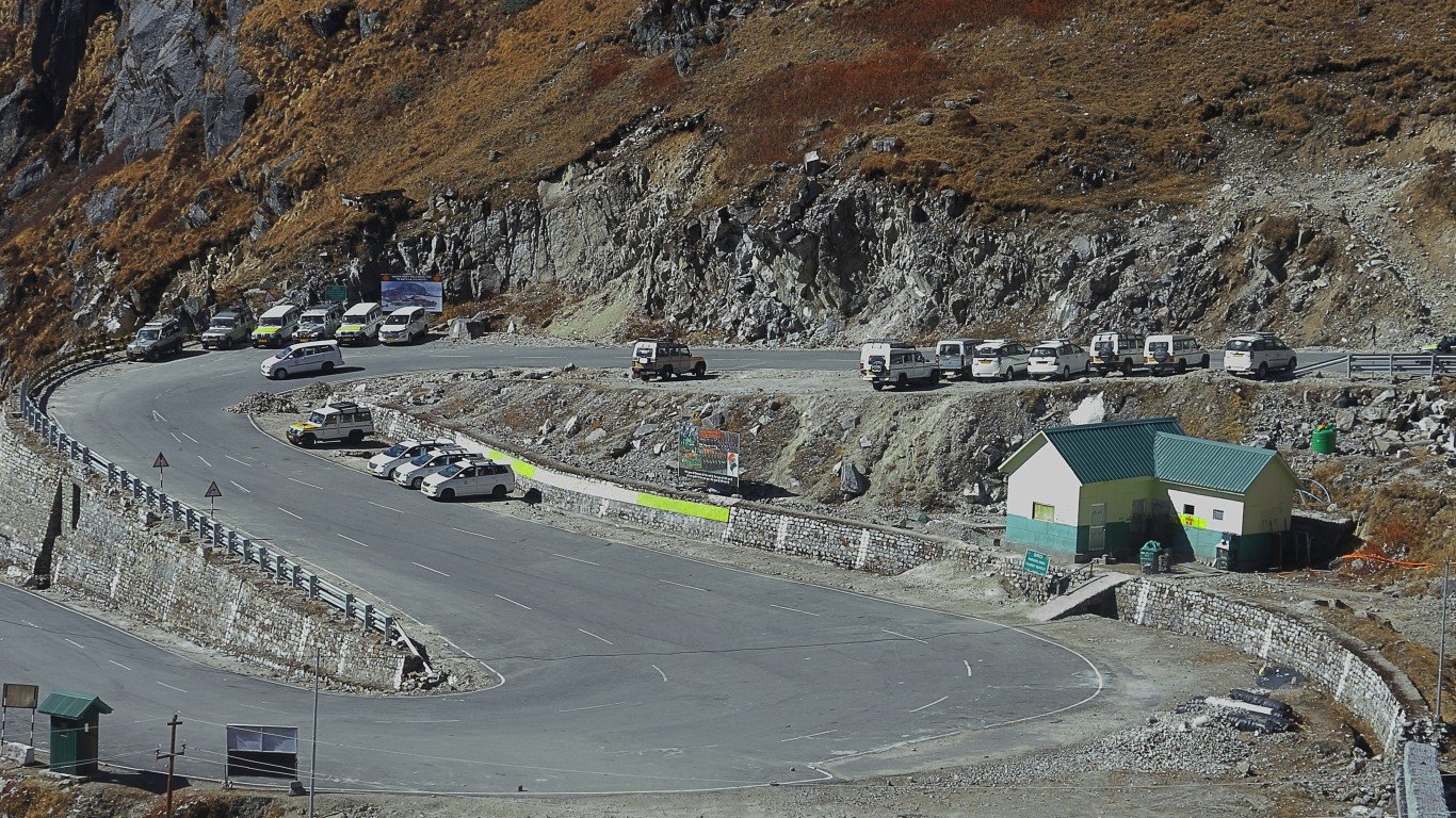
India has been at loggerheads with Pakistan over the Kashmir region since both nations gained independence in 1947. Those two countries fought a war over the area in 1971 and it remains a bone of contention today. India also shares a long border with China. It fought a war with China in 1962 that resulted in the loss of territory. All of those conflicts involving India run the risk of a nuclear exchange.
Speaking of China, the world’s most populous nation continues to rattle sabers over its claim to Taiwan, a situation that might draw in the U.S.
And then there is the hottest spot of all, the border between North and South Korea, roughly along the 38th Parallel. A ceasefire halted the war in 1953, but did not formally end it.
Click here to see the national borders on the brink of war.
Islands in the Aegean Sea
> Location: Aegean Sea between Greece and Turkey
> Effective since: Several agreements, the latest signed in Paris in 1947
> Parties involved: Turkiye, Greece
> Also referred to as:
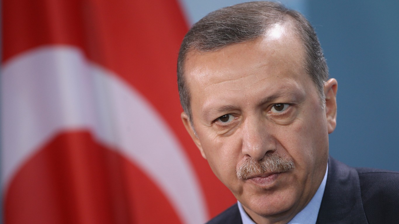
The demilitarization of islands in the Eastern Aegean Sea was agreed to by Greece and Turkiye and has been reaffirmed in various treaties, conventions, and documents since 1914. As recently as September 2022, Turkish President Tayyip Erdogan accused Greece of occupying islands in the Aegean Sea that are supposed to be demilitarized and arming them, a charge Athens rejected. This is not the only dispute between the two NATO member countries, with other issues including overflights, hydrocarbon resources in the Mediterranean, as well as ethnically split Cyprus (see below).
[in-text-ad]
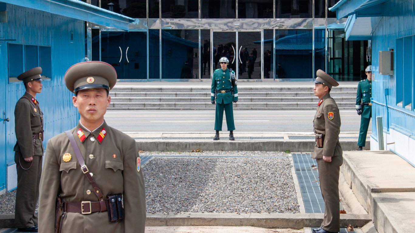
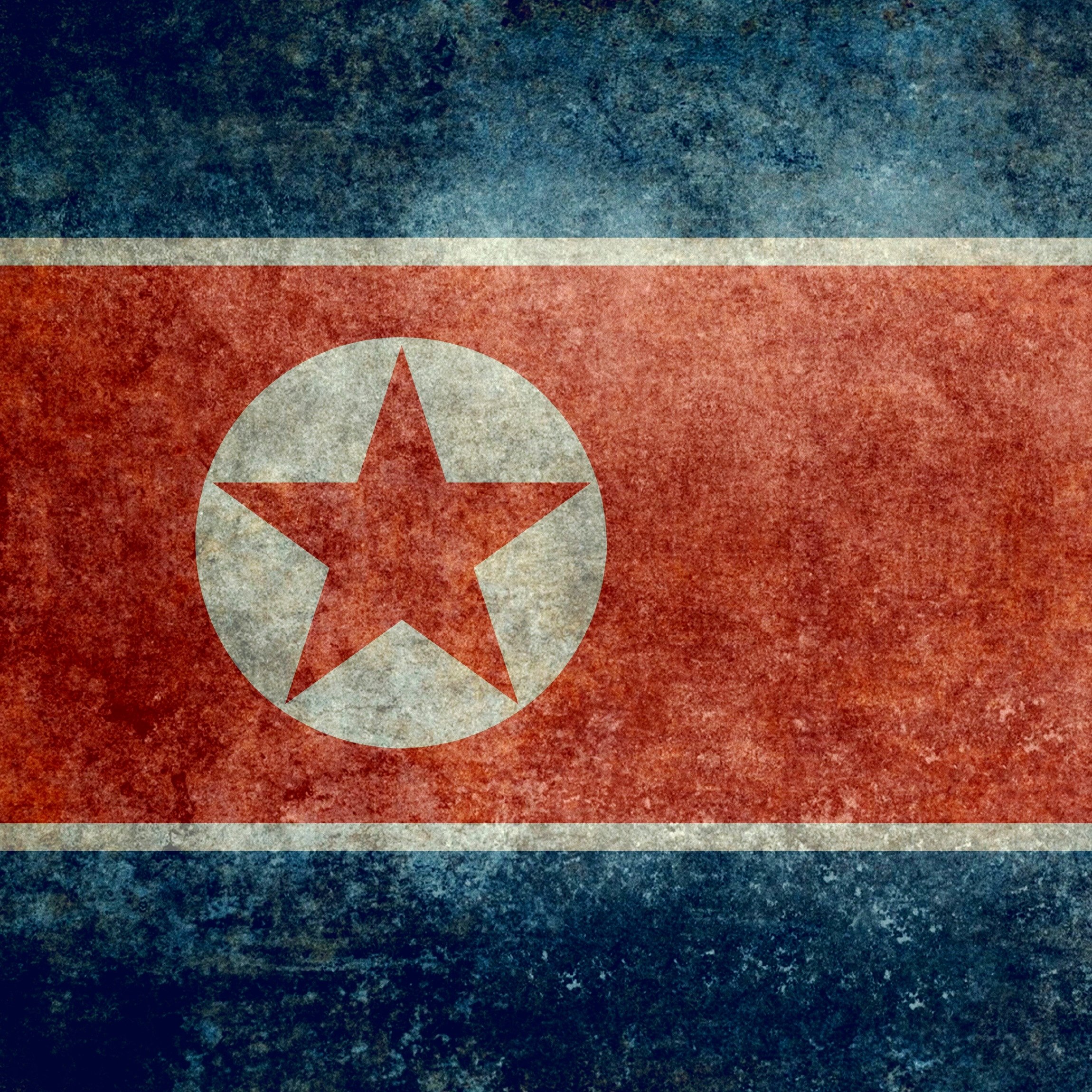
Korean Demilitarized Zone
> Location: Border of North and South Korea
> Effective since: July 27, 1953
> Parties involved: North Korea, South Korea
> Also referred to as: Agreement Concerning a Military Armistice in Korea
An armistice was signed on July 27, 1953, between delegates of the United Nations Command on one side, and representatives of North Korea and China on the other. The agreement created a 4,000-meter wide buffer zone between North and South Korea. It took 158 meetings over two years to reach the accord. The armistice may have stopped hostilities, but it is not a peace agreement. There have been skirmishes and exchange of fire over the years. Most recently, in December 2022, South Korea claimed North Korea flew drones over the border, and in 2020, the two countries exchanged gunfire over the DMZ.
[recirclink id=1204488]
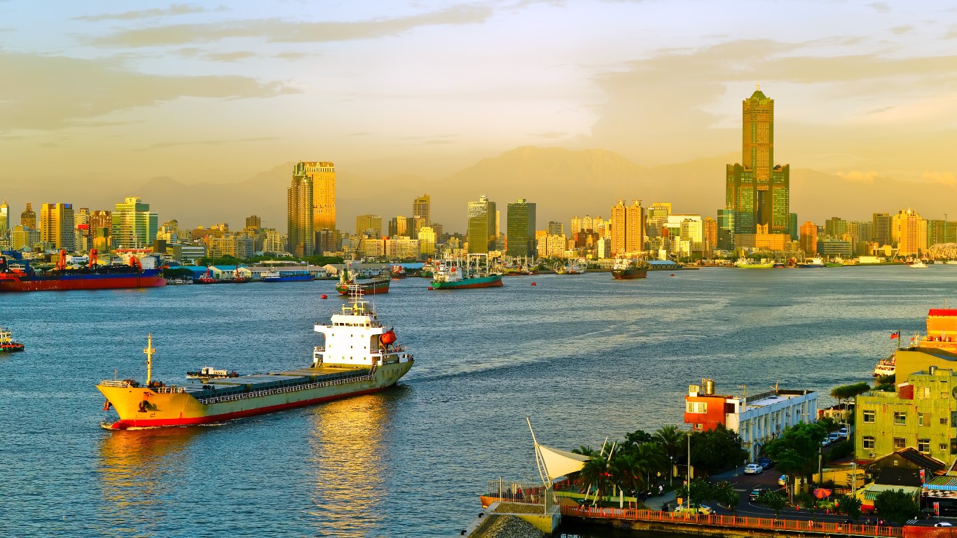
Median Line
> Location: Middle of Taiwan straits between mainland China and the Island of Taiwan
> Effective since: 1955
> Parties involved: People’s Republic of China and the Republic of China (Taiwan)
> Also referred to as: Median Line (acts as de facto border)
The middle of Taiwan Strait between mainland China and the island of Taiwan, also called the Davis Line, serves as the de facto border between the two countries. The area has been a hot spot since the 1950s, when China bombed islands controlled by Taiwan, leading the United States to intervene. The ongoing Chinese threat to seize the islands and invade Taiwan has drawn the U.S. closer to Taiwan. In January 1955, Congress passed the “Formosa Resolution” that gave President Dwight Eisenhower authority to defend Taiwan and the islands. In recent months, China has flown jets over the dividing line and continues to threaten to invade Taiwan.
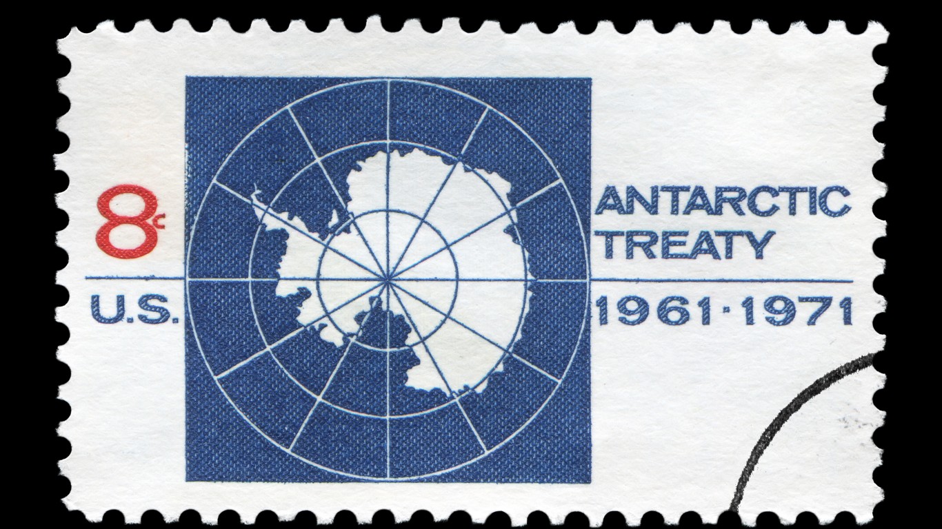
Antarctic Treaty
> Location: Antarctica
> Effective since: Dec. 1, 1959
> Parties involved: 56 countries
> Also referred to as: The Antarctic Treaty
The Antarctic Treaty, signed in Washington on Dec. 1, 1959, was entered into by 12 nations whose scientists were conducting work on the massive landmass during the international geophysical year of 1957-58. Eventually, 56 countries signed on to the accord. Among its provisions are that Antarctica shall be used for peaceful purposes only. Article II stipulates freedom of scientific investigation in Antarctica and cooperation toward that end, while article III requires that scientific observations and results from Antarctica shall be exchanged and made freely available.
[in-text-ad-2]
Line of Actual Control
> Location: India-China border
> Effective since: A series of bilateral agreements was first signed Sept. 7, 1993, but origins can be traced to Simla Convention of 1914, loosely defined in 1959, then became more relevant post Indo-China War in 1962.
> Parties involved: India, China
> Also referred to as: Agreement on the Maintenance of Peace and Tranquility along the Line of Actual Control in the India-China Border Areas Confidence-Building Measures in the Military Field along the Line of Actual Control in the India-China Border Areas
The India-China border is among the most volatile and disputed in the world. The world’s two most populous nations signed bilateral treaties in 1993 regarding the 2,100 mile-long disputed border in the Himalayan region. The agreements are aimed at maintaining peace and tranquility along the line of actual control in the India-China border areas, among others. A 1996 agreement prohibits the use of firearms near the border. The two countries fought a war in 1962, and frequent border flare-ups continue to occur.
In 2020, the deadliest clash in decades between the two nuclear powers, one reportedly fought with clubs, sticks, and rocks, left at least 20 Indian soldiers and four Chinese soldiers dead. Another hand-to-hand skirmish in December 2022 left several injured on both sides.
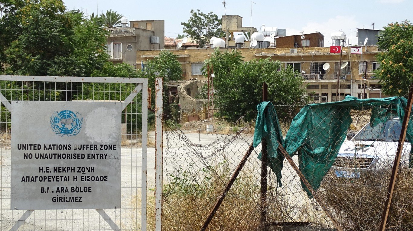
Green Line
> Location: Border along the Republic of Cyprus and Northern Cyprus (self-declared Turkish Republic of Northern Cyprus)
> Effective since: March 4, 1964, reaffirmed 1974
> Parties involved: Cyprus, Greece, Turkiye
> Also referred to as: United Nations Buffer Zone in Cyprus
Every so often, violence erupts along the Green Line that divides ethnic Greeks and Turks on the Mediterranean island of Cyprus. The U.N. controls most of the nearly 112-mile long buffer zone established in 1964 and reaffirmed 10 years later after a ceasefire between the sides. The line goes through the capital of Cyprus, Nicosia, which according to the BBC is the last physically divided city on Earth. Parts of the zone are inhabited by farms or villages, and people may enter the area freely. Some sections contain deserted villages and shops. Pyla, in the eastern part of the buffer zone, is the only village where Greek Cypriots and Turkish Cypriots live side by side.
[in-text-ad]

Outer Space Treaty
> Location: Space
> Effective since: Signed: Jan. 27, 1967; Effective: Oct. 10, 1967
> Parties involved: 112 countries
> Also referred to as: Treaty on Principles Governing the Activities of States in the Exploration and Use of Outer Space, including the Moon and Other Celestial Bodies
The Outer Space Treaty, crafted under the auspices of the United Nations, was signed by the Soviet Union, the United Kingdom, and the United States and includes 112 nations. The accord provided the framework on international space law.
Some of the principles included are: the exploration of outer space shall be carried out for the benefit and in the interests of all countries; outer space shall be free for exploration and use by all nations; outer space is not subject to national appropriation by claim of sovereignty; states shall not place nuclear weapons or other weapons of mass destruction in orbit or on celestial bodies or station them in outer space; the moon and other celestial bodies shall be used just for peaceful purposes; countries shall avoid harmful contamination of space and celestial bodies.
[recirclink id=1199263]
Line of Control
> Location: Jammu and Kashmir
> Effective since: July 2, 1972
> Parties involved: India, Pakistan
> Also referred to as: Agreement Between The Government Of India And The Government Of The Islamic Republic Of Pakistan On Bilateral Relations (Simla Agreement)
The region of Kashmir, which includes the areas of Jammu and Kashmir, contains 18 million people, most of them Muslim. It has been disputed by India and Pakistan since those nations gained independence from Great Britain in 1947. India administers the area south of the Line of Control, a 450 mile-long military control line, while Pakistan oversees northwestern Kashmir.
The two nations fought another war in 1965, and yet another in 1971, after which Pakistan and India Forged the Simla Pact, and vowed to resolve their differences by peaceful means. The agreement has not ended the tension between Pakistan and India, both of which hold nuclear weapons. A limited war, the Kargil War, erupted in 1999, and deadly violations occur regularly.

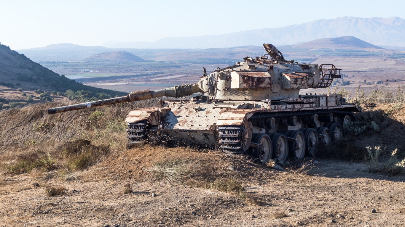
Golan border
> Location: Border between Israel and Syria in the Golan Heights
> Effective since: May 31, 1974 based on ceasefire (purple) line of 1964
> Parties involved: Israel, Syria
> Also referred to as: United Nations Disengagement Observer Force
Following the Yom Kippur War in 1973, the United Nations supervised an agreement brokered by the United States and the Soviet Union in which Israeli and Syrian forces would become disengaged and return beyond buffer zones in the Golan Heights established after the ceasefire. Israel and Syria are separated by a 155-square-mile buffer zone monitored by the U.N. The eastern end of the buffer zone, the Bravo Line, is where Syria begins. To the west of the buffer zone is the Alpha Line, where Israel starts. United Nations Disengagement Forces are stationed throughout the zone to oversee the agreement.
[in-text-ad-2]
Sinai Peninsula
> Location: Border between Egypt and Israel
> Effective since: April 25, 1982
> Parties involved: Egypt, Israel
> Also referred to as: Multinational Force & Observers
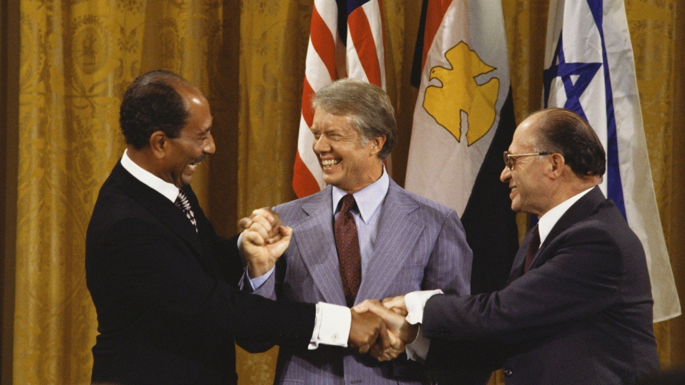
The peacekeeping group Multinational Force & Observers is tasked with supervising the security provisions of the Egyptian-Israeli Treaty of Peace that has been in effect since 1982. The treaty followed the historic agreement between Egyptian President Anwar Sadat and Israeli Prime Minister Menachem Begin known as the Camp David Accords. The treaty created three security zones in the Sinai in Egypt and one one in Israel along the international border. The accord stipulates limitations on military forces and equipment in each zone.
![]()
Dniester Valley Security Zone
> Location: Border between the Republic of Moldova and Ukraine
> Effective since: July 21, 1992
> Parties involved: Moldova, Russia, and unrecognized state of Transnistria (the Pridnestrovian Moldavian Republic)
> Also referred to as: Joint Control Commission
The border between the Republic of Moldova and Ukraine has been a hot spot for more than three decades. In 1990, residents of the easternmost area of the landlocked nation sought international recognition as the Pridnestrovian Moldavian Republic, known as Transnistria. Transnistria is a strip of land between Moldova and Ukraine with only about 500,000 residents. Territorial claims were disputed after the demise of the Soviet Union and war broke out in 1992 between the new Republic of Moldova and Transnistria in cities along the Dniester River. Russia, in support of Transnistria, intervened militarily and halted the violence. The Russian presence has allowed Transnistria a degree of autonomy.
[in-text-ad]
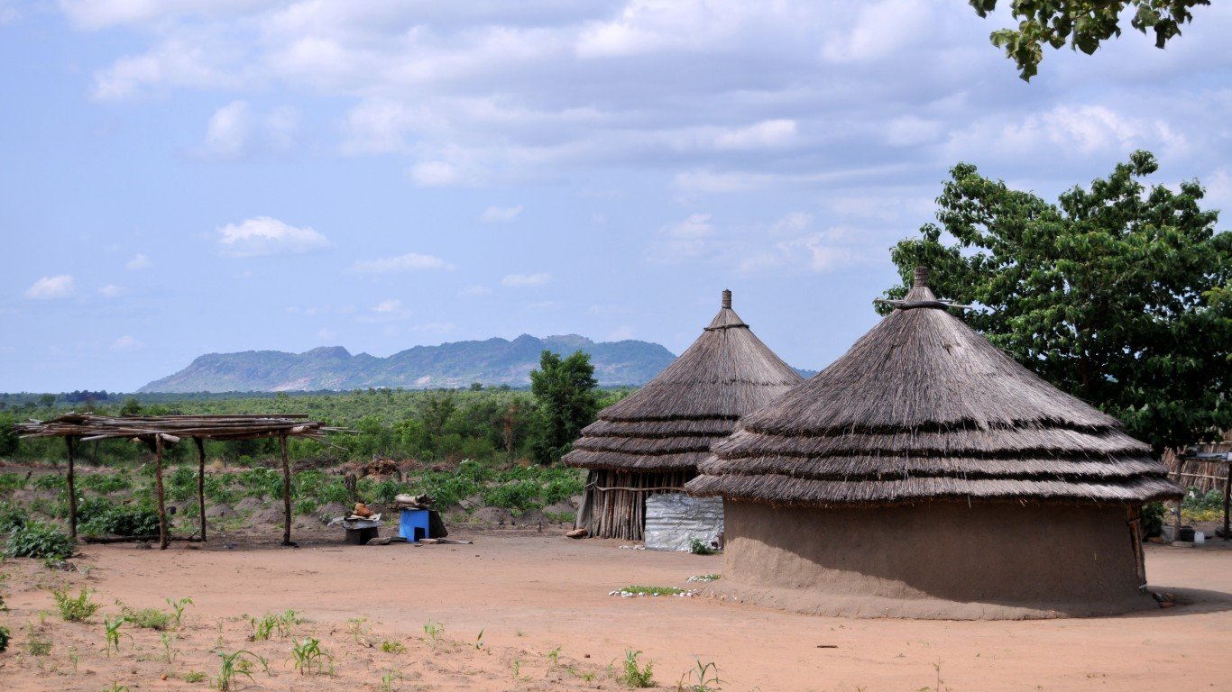
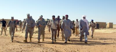
Sudan-South Sudan Demilitarized Zone
> Location: Border between Sudan and South Sudan
> Effective since: March 12, 2013
> Parties involved: Sudan, South Sudan
In 2013, Sudan and South Sudan agreed to withdraw their troops from a 14-mile-wide demilitarized zone in an accord brokered by former South African President Thabo Mbeki. South Sudan came into being in 2011 following the results of a referendum and the end of a ruinous war that killed nearly 2 million people. Even so, the two countries have disputed their borders and terms of oil exports.
[recirclink id=1200435]
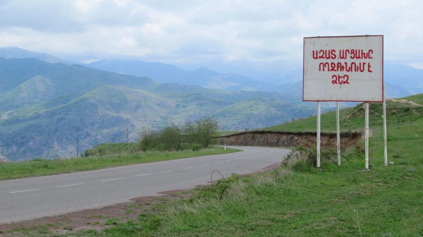
Nagorno-Karabakh
> Location: Between Armenia and Azerbaijan
> Effective since: Nov. 10, 2020 most recent ceasefire
> Parties involved: Azerbaijan, Armenia, Russia
The landlocked mountainous region in the South Caucasus known as Nagorno-Karabakh has been a bone of contention between former Soviet Union republics Armenia and Azerbaijan. Fighting over the region became so intense that Russia had to step in and stop six weeks of bloody fighting in 2020. Nagorno-Karabakh is within the borders of Azerbaijan, but the population is mostly Armenian. The sides have been in conflict since the dissolution of the Soviet Union in 1991.
Contact [email protected] for any questions or corrections.