Extreme heat and wildfires have plagued the western United States for weeks. A heatwave in the Northwest brought temperatures well into the 100s and broke records for the highest temperature in the city after city. A new study shows that, without manmade climate changes, the figures could not have risen so high.
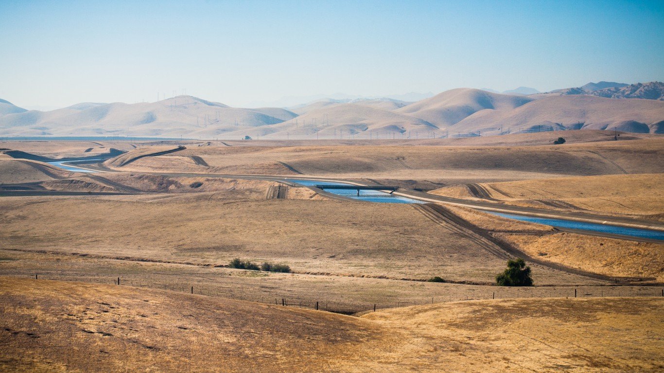
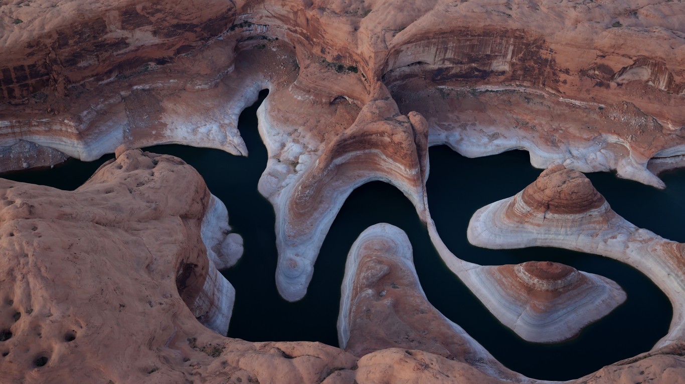
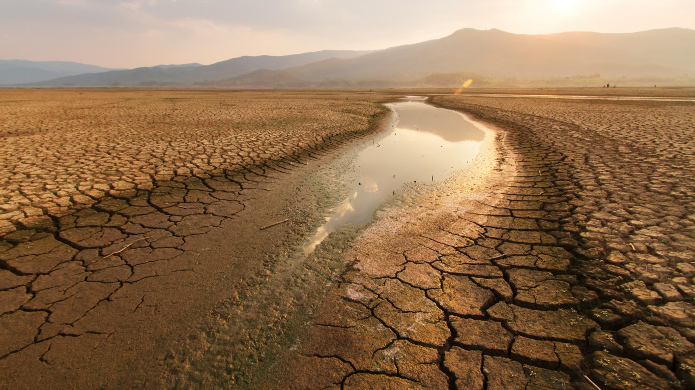
The weather in the West also has been characterized by a lack of rain. Some huge reservoirs have water levels that have fallen to their lowest levels on record. Cities and farms that rely on them for water face an almost certainly grim future. It is unimaginable to think some cities will not have enough water to provide for households and city services.
Low precipitation also has affected the snow levels on large mountain ranges. In most years, the snow would melt and bring water to currently parched areas. However, the snow is simply not there anymore.
The gold standard for drought data is the Drought Monitor, a joint venture of the National Drought Mitigation Center at the University of Nebraska-Lincoln, the U.S. Department of Agriculture and the National Oceanic and Atmospheric Administration. The Drought Monitor ranks drought levels based on the severity with a scale created to measure how severe drought is from state to state. The lowest level of drought is labeled D0 and the worst and highest level is D4.
[nativounit]
The Drought Monitor defines D4 this way:
Boat ramps close; trout fishing limits are lifted; wildlife populations decline; producers haul water for wildlife; ecosystem viability is threatened
Citizens reduce water use
Reservoir levels are extremely low; hydropower production is limited, alternative power is expensive; groundwater decreases; water allotments to farmers and ranchers are curtailed
Several states have a higher percentage of their square mileage that has D4 levels of drought. These include Arizona, California, Colorado, Nevada, New Mexico and North Dakota.
One state has high the highest level by far of its square mileage designated as D4. It is Utah, at 65.23%. Amazingly, one year ago, that figure was zero. The area of D4 drought runs from Great Salt Lake, the largest saltwater lake in the western hemisphere, to Utah’s southern border.
According to The Guardian, the lake’s levels are expected to hit a 170-year low this year. It comes as the drought has the western United States bracing for a brutal wildfire season and coping with already low reservoirs.
Statewide, the situation is just as bad as the area in and around the lake. Fox 13 in Salt Lake City reports that as Utah’s drought emergency continues, state officials are looking at the potential for water shortages that would necessitate rationing.
As if the situation were not bad enough already, many scientists believe it could persist for years, or even longer.
Click here to see the best place to enjoy water in each state.
[wallst_email_signup]
Contact [email protected] for any questions or corrections.