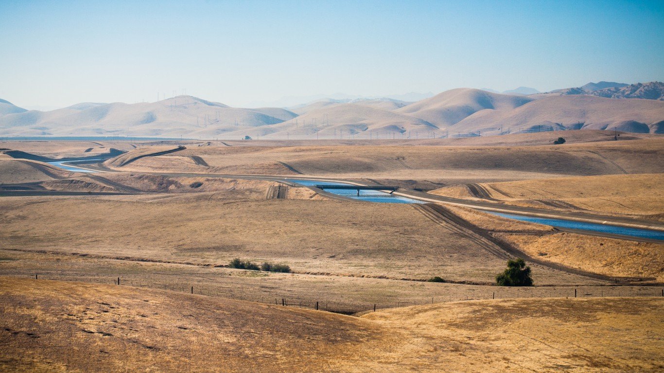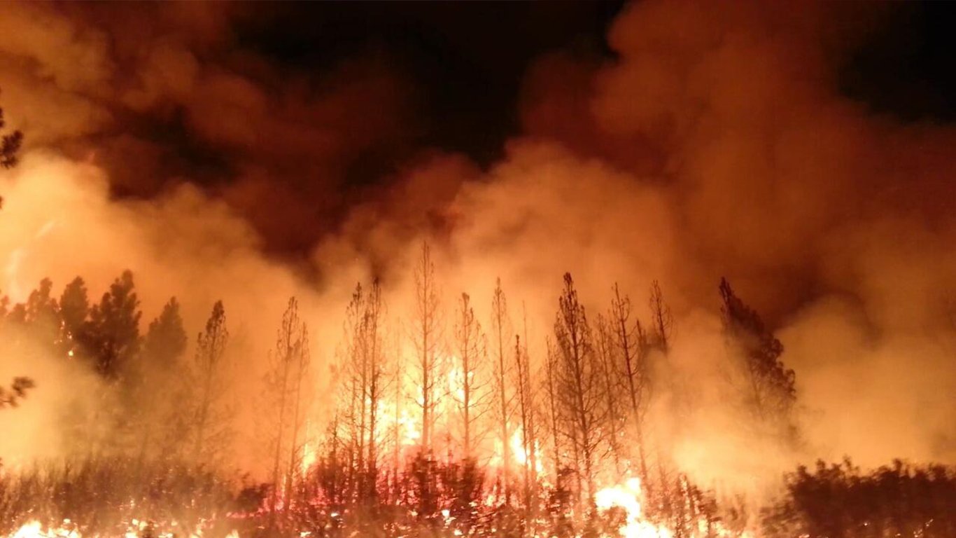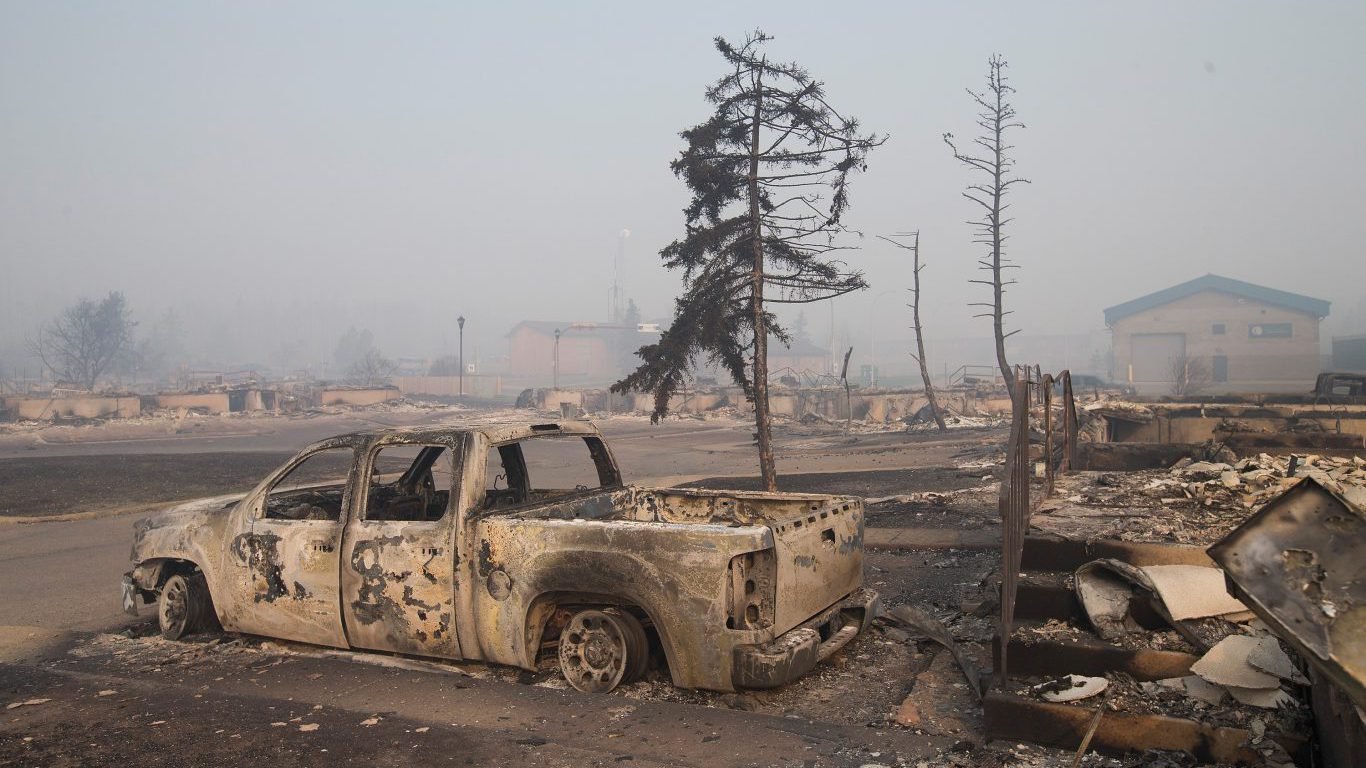
The footprint of wildfires across America grows nearly every year. Global warming’s effect on drought has been blamed as the primary cause. Even climate change deniers have not come up with a better reason.
[in-text-ad]
This year has been particularly brutal as wildfires have burned hundreds of square miles of land. People have been forced from their homes, and a number of deaths have been caused by the rapid advance of fires fueled by high winds. The USDA Forest Service map of wildfires shows that they have spread across nearly every state in the West. Presently there are huge concentrations in Idaho, eastern Montana and western Washington and Oregon. Most of these areas have had record high temperatures at some point this summer.
[nativounit]
Real estate data firm CoreLogic provides forecasts of homes at risk of wildfire damage. It uses its own models to look at both states and local areas. According to the Wildfire Risk Report 2022:
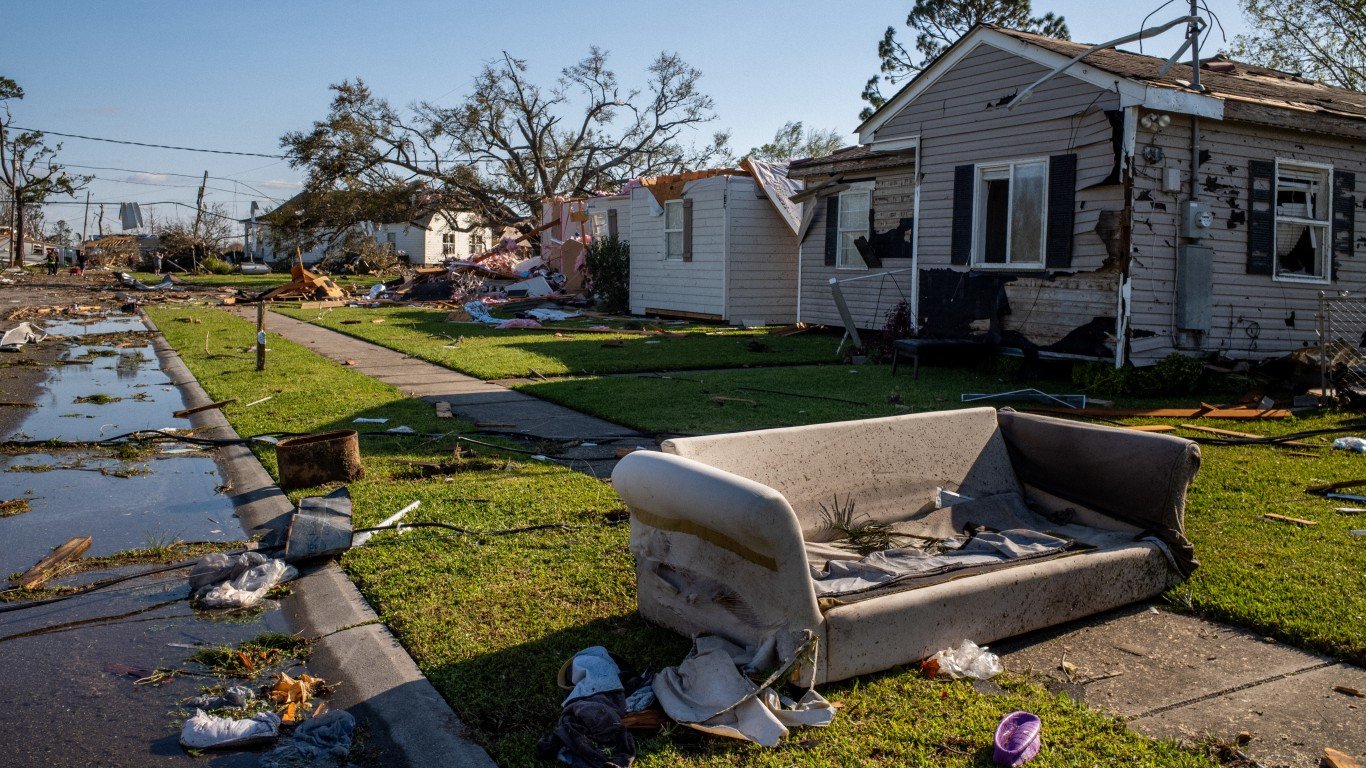
With the highest number of homes in the western U.S., California usually tops the list each year for wildfire risks. However, many other states also have a significant number of homes at risk. Florida, Texas, Colorado, and New Mexico join California in the top five states for number of homes at risk of wildfire.
[wallst_email_signup]
The homes at risk figure for California is 1,265,425. Second on the list is the only state in the east: Florida at 814,499. The number comes as a surprise, since risk maps for Florida usually cover hurricane damage.
[recirclink id=1164218]
The forecast does not stretch out beyond 2022. Perhaps it is too difficult, even with sophisticated models, to go beyond that. However, it is almost impossible to think that the number will drop over the next several years, and it probably will rise sharply. This means soon the annual count will be millions more than today’s forecast.
Contact [email protected] for any questions or corrections.