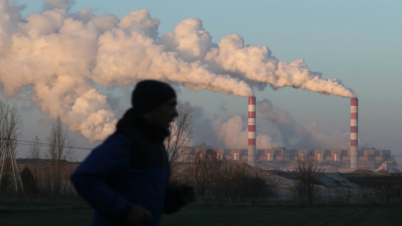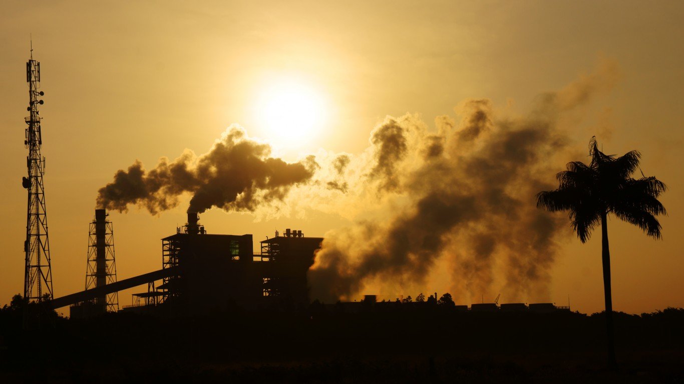
Thousands of industrial facilities in the United States pump toxic carcinogens into the air. While the Environmental Protection Agency dictates the amount of these chemicals that individual facilities can legally emit, they have done little to address the compounding risk for residents living in concentrated industrial zones.
To identify the American counties with the most toxic air, 24/7 Wall St. looked at the number of facilities contributing to toxic air within all counties, using data provided by the independent newsroom ProPublica’s Toxic Air Pollution Hot Spots report. Average PM2.5 – the concentration of micro-particulate matter at 2.5 micrometers – comes from the County Health Rankings & Roadmaps published by the University of Wisconsin Population Health Institute. Population and population density are for the 2020 U.S. Decennial Census and calculated as people per square mile.
What happens when multiple facilities in the same neighborhood all release the maximum amount of authorized chemical pollution? As a part of their “Sacrifice Zones” series, ProPublica used an EPA modeling tool to create a map that shows how dangerous levels of cancer-causing chemicals can spread into certain neighborhoods from nearby clusters of industrial facilities, including chemical plants, oil refineries, foundries, plastics manufacturers, and more. (Pollution is not just a U.S. Problem. These countries are the worst polluters in the world.)
Residents of these communities breathe in significantly higher amounts of airborne chemicals like benzene, which may cause leukemia, and ethylene oxide, which can lead to lymphoma and breast cancer. ProPublica’s map displays the proximity of scores of polluting facilities to schools, daycares, and in many cases predominantly low-income and minority neighborhoods. Their study found that in predominantly Black census tracts, the estimated risk of cancer from toxic air is more than double that of predominantly white districts.
The map identifies over 1,000 “hot spots” of cancer-causing air. Hot spots are places where a resident’s estimated excess cancer risk due to a lifetime of exposure to their neighborhood’s air is greater than 1 in 10,000, which is the EPA’s policy limit. Over 250,000 people live in these hot spots, and an estimated 43,000 people are living in areas with three times that risk level.
Texas, which is home to five of the counties with the highest number of polluting facilities, has notoriously lax regulations. Some of the largest hotspots in terms of square mileage are in that state, including the greater Houston area and Port Arthur. Nearby, Louisiana’s “cancer alley,” between Baton Rouge and New Orleans, is the largest hotspot in the nation, and includes two of the counties with the highest number of toxic-air-producing facilities. Other states with multiple counties on the list are Ohio with two counties and Pennsylvania with three.
Click here to see which U.S. counties have the most toxic air
According to ProPublica, the emissions from five corporations cover more square miles of hot spots than any other companies. These are the Dow Chemical Company, Huntsman Corp., Eastman Chemical Co., BASF, and LyondellBasell Industries. In addition to emitting regulated amounts of toxic chemicals, some factories are notorious for their leaks, explosions, and repeat violations of the Clean Air Act. (Chemicals are just one type of air pollution. Here are cities emitting the most carbon dioxide in the world.)

23. Kent County, MI
> Number of facilities contributing to toxic air: 10
> Avg daily PM2.5 concentration: 8.8 micrograms per cubic meter– #766 highest out of all counties
> Population: 652,617 — #102 largest out of all counties
> Population density: 754.61 people per square mile — #174 highest out of all counties
The largest Michigan county outside the Detroit metro area, Kent County encompasses Grand Rapids and the surrounding area. A major hotspot of pollution is centered around the Viant medical device sterilizer on the West Side of Grand Rapids. Between 2017 and 2019, the MI Department of Environmental Quality issued multiple violations to Viant for elevated ethylene oxide emissions and fined the company $110,000.
[in-text-ad]
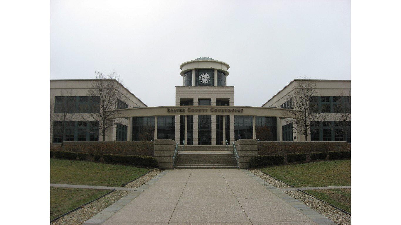
22. Beaver County, PA
> Number of facilities contributing to toxic air: 10
> Avg daily PM2.5 concentration: 9.5 micrograms per cubic meter– #268 highest out of all counties
> Population: 164,781 — #397 largest out of all counties
> Population density: 378.84 people per square mile — #316 highest out of all counties
A new Shell petrochemical facility being built in Beaver County has already gotten heat from PA’s Department of Environmental Protection for violating sections of the Air Pollution Control Act. Other industrial centers in the county that contribute the most to air pollution include metal fabricator ATI Precision Finishing, Whemco Steel Castings, and BASF, all of which are situated along the OH River.
[recirclink id=1000524]
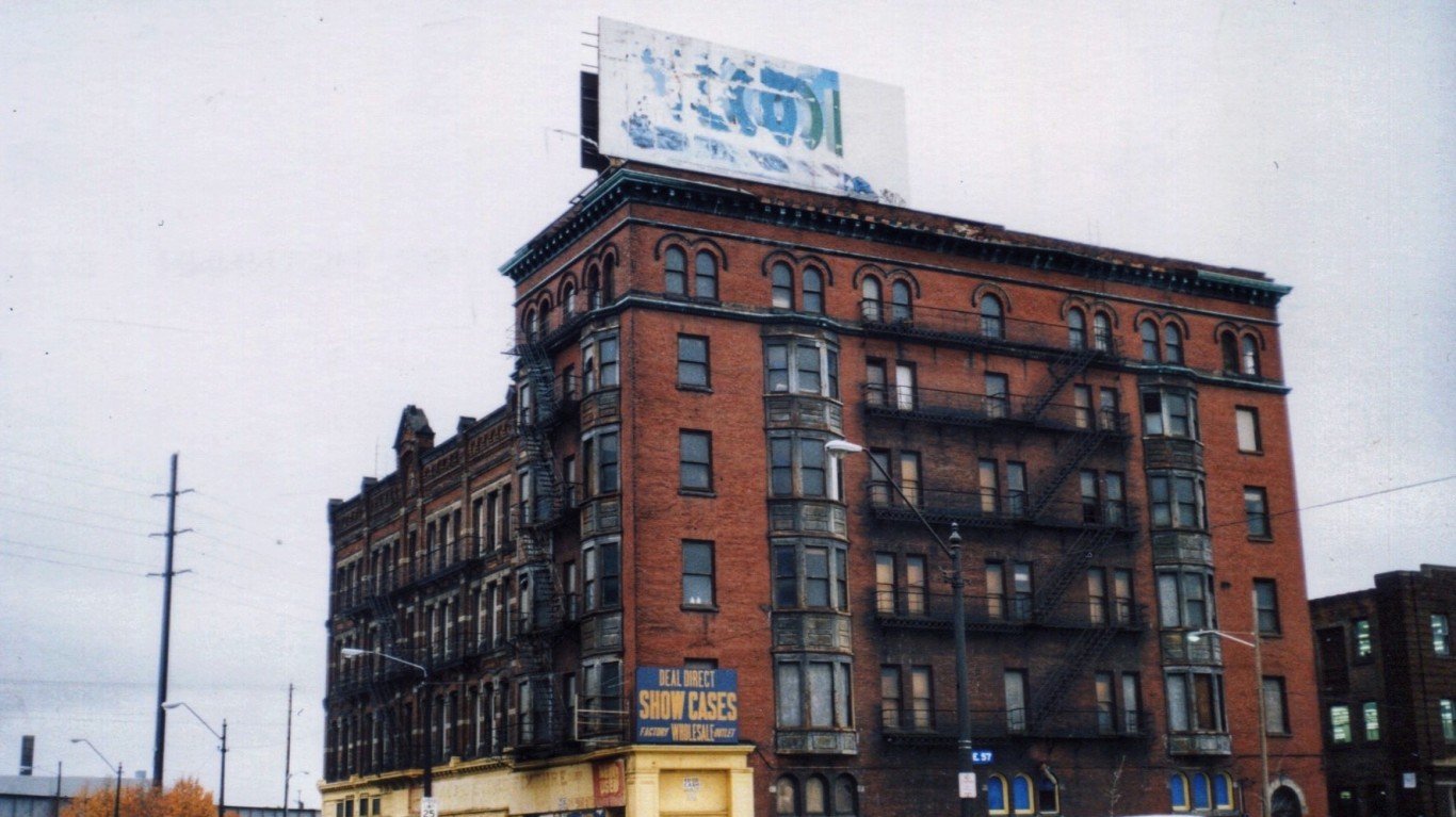
21. Cuyahoga County, OH
> Number of facilities contributing to toxic air: 10
> Avg daily PM2.5 concentration: 10.7 micrograms per cubic meter– #43 highest out of all counties
> Population: 1,241,475 — #35 largest out of all counties
> Population density: 1,015.49 people per square mile — #131 highest out of all counties
Encompassing Cleveland and bordering Lake Erie, Cuyahoga County has one of the nation’s 100 worst polluting industrial facilities, according to the Toxic 100 report by the United Church of Christ and the Environmental Integrity Project. The metal fabrication company MPC Plating Inc. reported releasing 6 million tons of the carcinogen hexavalent chromium into the air in 2018. MPC Plating is responsible for 99.2% of the estimated elevated cancer risk in the area, and is located in a neighborhood where 91% of residents are Black or Latino, and 71% are low income.

20. Spartanburg County, SC
> Number of facilities contributing to toxic air: 10
> Avg daily PM2.5 concentration: 8.5 micrograms per cubic meter– #1,088 highest out of all counties
> Population: 313,791 — #224 largest out of all counties
> Population density: 400.11 people per square mile — #296 highest out of all counties
Spartanburg County hosts numerous chemical companies including StarChem and the German multinational BASF – the largest chemical company in the world, producing a wide range of substances for the pharmaceutical, cleaning, textile, automotive, and construction industries, among others. According to ProPublica, BASF’s footprint of cancer-causing air pollution is higher than that of any other foreign company in the U.S. Their Spartanburg factory releases acetaldehyde, propylene oxide, and ethylene oxide.
[in-text-ad-2]

19. Hamilton County, OH
> Number of facilities contributing to toxic air: 10
> Avg daily PM2.5 concentration: 10.2 micrograms per cubic meter– #90 highest out of all counties
> Population: 815,790 — #75 largest out of all counties
> Population density: 2,012.99 people per square mile — #60 highest out of all counties
This county in southern Ohiosits astride the Ohio River and encompasses Cincinnati and the surrounding area. A historic metal manufacturing area, Hamilton County is still home to a few metal fabricators as well as multiple chemical companies including the Shepherd Chemical Company – which emits cobalt, chromium, and nickel compounds – and INEOS USA LLC, a plastic resin manufacturer that emits butadiene and acrylonitrile.

18. Jefferson County, KY
> Number of facilities contributing to toxic air: 10
> Avg daily PM2.5 concentration: 10.3 micrograms per cubic meter– #76 highest out of all counties
> Population: 768,419 — #83 largest out of all counties
> Population density: 1,969.22 people per square mile — #63 highest out of all counties
The historic “Rubbertown” district of Jefferson County is an industrial stretch along the OH River in southwestern Louisville dating back to the early 20th century. There are currently multiple chemical plants in Rubbertown and beyond, including Clariant Specialty Chemicals, which has been fined multiple times in the last decade for nitrogen oxide emissions. The broader Jefferson County area is home to multiple Ford plants, metal fabrication factories, and a weapons manufacturer called BAE Systems.
[in-text-ad]
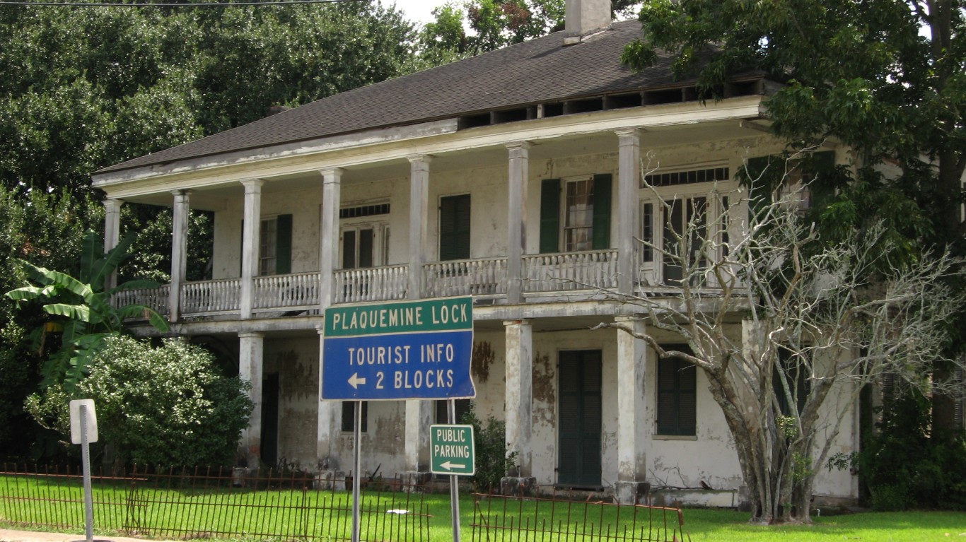
17. Iberville Parish, LA
> Number of facilities contributing to toxic air: 10
> Avg daily PM2.5 concentration: 8.3 micrograms per cubic meter– #1,261 highest out of all counties
> Population: 32,626 — #1,367 largest out of all counties
> Population density: 46.31 people per square mile — #1,480 highest out of all counties
St. Gabriel, Plaquemine, and the surrounding areas along the Mississippi River are home to numerous chemical manufacturers, including plants that make ammonia-derived compounds for agricultural markets. Pockets of high-risk zones surround BPC Ingredients, Shintech PVC producer, PCS Nitrogen Fertilizers, Honeywell, and Taminco U.S. LLC. Leaks at multiple Iberville factories in recent years have released ammonia, fluorocarbons, and sulfuric acid into the air.
[recirclink id=987766]
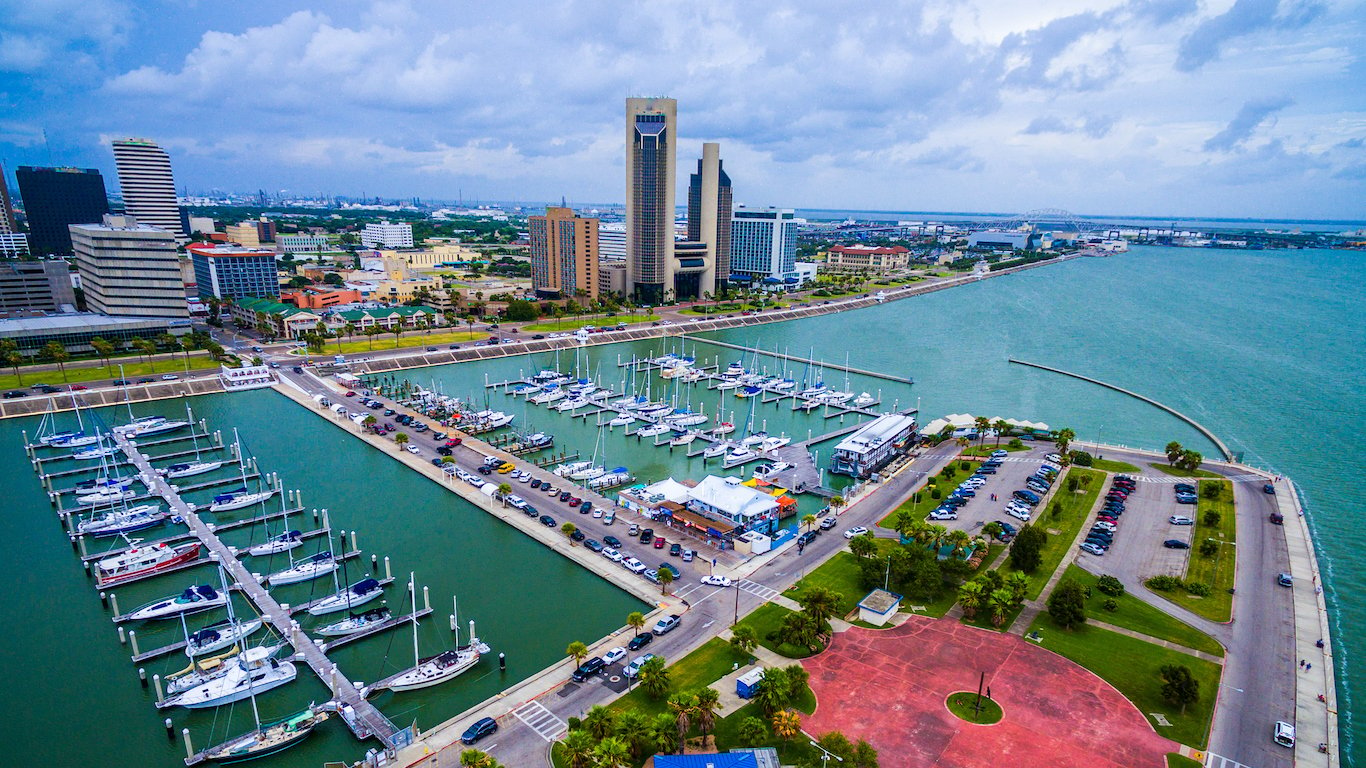
16. Nueces County, TX
> Number of facilities contributing to toxic air: 10
> Avg daily PM2.5 concentration: 9.2 micrograms per cubic meter– #422 highest out of all counties
> Population: 362,151 — #196 largest out of all counties
> Population density: 303.04 people per square mile — #376 highest out of all counties
This South Texas county comprises Corpus Christi and the surrounding area, including the Mustang barrier island. A center of the oil and chemical industries, the port area is home to multiple refineries and chemical outfits including Valero, Citgo, Flint Hills, and American Chrome and Chemicals. Citgo’s Corpus Christi Refinery has been cited and fined by the EPA multiple times in the last decade, including for exceeding benzene emissions standards in 2020.

15. Shelby County, TN
> Number of facilities contributing to toxic air: 10
> Avg daily PM2.5 concentration: 7.8 micrograms per cubic meter– #1,595 highest out of all counties
> Population: 936,611 — #55 largest out of all counties
> Population density: 1,191.42 people per square mile — #106 highest out of all counties
Shelby County, which includes Memphis and the surrounding area along the Mississippi River, scored an F for ozone pollution in the American Lung Association’s 2021 State of the Air Report, although it scored slightly better for particle pollution. A pocket of polluting industry around McKellar Lake includes Stella Jones, a manufacturer of pressure-treated wood, as well as a Valero refinery, and Owens Corning Asphalt plant.
[in-text-ad-2]
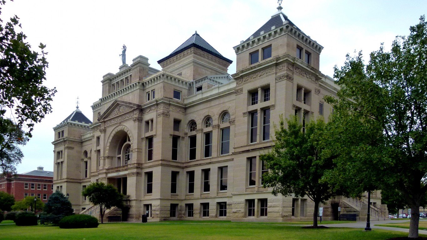
14. Sedgwick County, KS
> Number of facilities contributing to toxic air: 11
> Avg daily PM2.5 concentration: 7.4 micrograms per cubic meter– #1,850 highest out of all counties
> Population: 515,416 — #136 largest out of all counties
> Population density: 519.09 people per square mile — #233 highest out of all counties
Wichita is the county seat of Sedgwick, which is home to multiple aerospace manufacturers including Globe Engineering and Spirit Aerosystems, as well as metal manufacturers including 3P Processing Inc. and Koch-Glitsch LP. The 3P factory, which releases trichloroethylene and chromium compounds, is responsible for a wide swath of excess cancer risk. Another area of heightened risk in the county surrounds the chemical companies Evonik Corp. and Occidental Chemical Corporation.

13. Lancaster County, PA
> Number of facilities contributing to toxic air: 11
> Avg daily PM2.5 concentration: 11.4 micrograms per cubic meter– #24 highest out of all counties
> Population: 543,050 — #126 largest out of all counties
> Population density: 562.07 people per square mile — #216 highest out of all counties
Lancaster County has some of the highest particulate pollution in the nation, scoring an F for particulates on the American Lung Association’s 2021 State of the Air Report. Manufacturing plants in the county that contribute to chromium and nickel air pollution include the Goodhart Sons Inc. steel fabricator, U.S. Boiler Inc., and the Precision Form machinery manufacturer. According to the 2019 Lancaster County Community Health Needs Assessment Report, Lancaster ranks eighth in the nation for residents at risk from annual levels of particulate pollution.
[in-text-ad]

12. Milwaukee County, Wisconsin
> Number of facilities contributing to toxic air: 11
> Avg daily PM2.5 concentration: 8.3 micrograms per cubic meter– #1,261 highest out of all counties
> Population: 949,180 — #52 largest out of all counties
> Population density: 789.81 people per square mile — #168 highest out of all counties
A historic iron and steel industry hub, Milwaukee County is home to numerous foundries and metal manufacturers that contribute chromium and nickel air pollution including Maynard Steel Casting Corporation, Charter Wire LLC, R & B Wagner Inc., and Badger Alloys. Although PM2.5 pollution in the county is relatively low, ozone levels are consistently some of the highest in the nation, according to the American Lung Association.
[recirclink id=1073388]

11. Ascension Parish, LA
> Number of facilities contributing to toxic air: 11
> Avg daily PM2.5 concentration: 10.1 micrograms per cubic meter– #108 highest out of all counties
> Population: 125,061 — #511 largest out of all counties
> Population density: 417.91 people per square mile — #281 highest out of all counties
Nestled among Louisiana’s “Cancer Alley,” the stretch of the lower Mississippi River between Baton Rouge and New Orleans that houses over 150 refineries and petrochemical plants, Ascension Parish is one of the most toxic areas in the state. The Geismar neighborhood has one of the most concentrated industrial sections, housing multiple chemical plants including Shell Chemical and BASF. According to ProPublica, toxic emissions in the parish increased by 109% from 2008 to 2018.
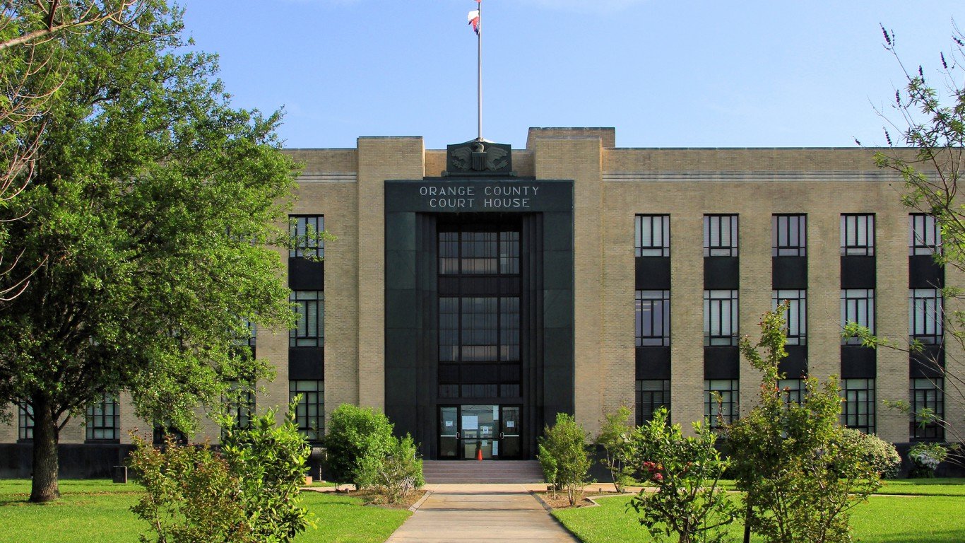
10. Orange County, TX
> Number of facilities contributing to toxic air: 11
> Avg daily PM2.5 concentration: 8.9 micrograms per cubic meter– #661 highest out of all counties
> Population: 83,776 — #683 largest out of all counties
> Population density: 223.46 people per square mile — #491 highest out of all counties
Bordering Louisiana, this oil industry county has multiple petrochemical and chemical facilities including Invista Sarl and DuPont’s Sabine River Works, the latter of which releases 12 known carcinogens and recently settled with the EPA after numerous violations of both the Clean Air Act and the Clean Water Act. International Paper’s Orange Mill in the northwest corner of the county is another producer of toxic air pollution including hydrogen sulfide and formaldehyde.
[in-text-ad-2]

9. Allegheny County, PA
> Number of facilities contributing to toxic air: 11
> Avg daily PM2.5 concentration: 12.7 micrograms per cubic meter– #11 highest out of all counties
> Population: 1,218,380 — #36 largest out of all counties
> Population density: 1,680.30 people per square mile — #74 highest out of all counties
According to PennEnvironment, a Pennsylvania state environmental group, Pittsburgh’s Allegheny County is in the top 2% of counties in the U.S. in terms of cancer risk from air pollution. A historic center of steel production – which requires the use of coke (a coal product) – the county has been plagued by air violations from multiple coke producers including U.S. Steel’s Clairton Coke Works plant, which emits benzene, naphthalene, and four other carcinogens, and was recently fined $1.8 million for hydrogen sulfide emissions.

8. Calcasieu Parish, LA
> Number of facilities contributing to toxic air: 11
> Avg daily PM2.5 concentration: 7.6 micrograms per cubic meter– #1,723 highest out of all counties
> Population: 202,858 — #331 largest out of all counties
> Population density: 198.13 people per square mile — #528 highest out of all counties
Known as a center of petrochemical refining, Lake Charles is the seat of Calcasieu Parish and home to numerous chemical manufacturers, most of which lie just west of the Calcasieu River. Multiple recent explosions at a Westlake Chemical plant have brought scrutiny on the Houston-based company, which has a long record of chemical spills and air quality violations. Unfortunately, Westlake is just one of many companies in the parish that have released harmful emissions after hurricanes and explosions in the area.
[in-text-ad]
7. Jefferson County, AL
> Number of facilities contributing to toxic air: 12
> Avg daily PM2.5 concentration: 10.8 micrograms per cubic meter– #34 highest out of all counties
> Population: 658,615 — #101 largest out of all counties
> Population density: 600.21 people per square mile — #204 highest out of all counties
Centered around Birmingham, Jefferson County has long been a hub of iron and steel production because of its proximity to large deposits of coal, iron ore, and limestone, which are needed to make iron. Industry hotspots in the area include Southland Tube Inc., which makes carbon steel pipes, and ABC Coke, a coal processing plant northeast of Birmingham that is the leading merchant producer of foundry coke in the U.S.
[recirclink id=1074280]

6. Hartford County, CT
> Number of facilities contributing to toxic air: 13
> Avg daily PM2.5 concentration: 7.4 micrograms per cubic meter– #1,850 highest out of all counties
> Population: 892,153 — #62 largest out of all counties
> Population density: 1,198.34 people per square mile — #105 highest out of all counties
Connecticut is a hub of aerospace manufacturing, and Hartford County has multiple aircraft component manufacturing plants, including Pratt & Whitney in East Hartford, Paradigm in Manchester, and Collins Aerospace (formerly Hamilton Sundstrand) in Windsor Locks. According to the American Lung Association’s 2020 State of the Air Report, the Hartford metro area has the 25th worst ozone pollution in the nation.

5. Brazoria County, TX
> Number of facilities contributing to toxic air: 13
> Avg daily PM2.5 concentration: 9.7 micrograms per cubic meter– #201 highest out of all counties
> Population: 368,062 — #191 largest out of all counties
> Population density: 231.27 people per square mile — #473 highest out of all counties
Just south of Houston, Brazoria County is home to multiple industrial zones including a Chevron Phillips chemical plant in Sweeny that was part of a recent EPA settlement for violating the Clean Air Act and state pollution laws. Multiple chemical companies are also headquartered in Freeport, including Dow Chemicals, who also recently settled with the EPA for pollution violations.
[in-text-ad-2]

4. Los Angeles County, CA
> Number of facilities contributing to toxic air: 16
> Avg daily PM2.5 concentration: 12.0 micrograms per cubic meter– #20 highest out of all counties
> Population: 10,040,682 — #01 largest out of all counties
> Population density: 2,108.46 people per square mile — #54 highest out of all counties
The most populous county in the U.S., Los Angeles County is known for its smog and automobile exhaust pollution. It is also home to five major oil refineries as well as several chemical manufacturers. Industrial centers are concentrated in the southern end of the county, nearest to the neighborhoods of West Long Beach, Wilmington, and Carson.

3. Cook County, IL
> Number of facilities contributing to toxic air: 21
> Avg daily PM2.5 concentration: 10.0 micrograms per cubic meter– #127 highest out of all counties
> Population: 5,169,517 — #02 largest out of all counties
> Population density: 3,227.36 people per square mile — #27 highest out of all counties
Home to Chicago, Cook County is the second most populous county in the United States.
Areas of increased cancer risk surround some of the county’s chemical manufacturing plants including Becker Specialty Corp. at the Elk Grove Village Industrial park, and Koppers in Cicero. Minority neighborhoods in Chicago’s South and West sides – areas closer to industrial centers – have the greatest exposure to toxic air pollution.
[in-text-ad]

2. Jefferson County, TX
> Number of facilities contributing to toxic air: 22
> Avg daily PM2.5 concentration: 8.9 micrograms per cubic meter– #661 highest out of all counties
> Population: 253,136 — #273 largest out of all counties
> Population density: 230.55 people per square mile — #475 highest out of all counties
Jefferson County is home to numerous petrochemical manufacturers, with an area in Port Neches where residents’ estimated excess cancer risk is 1 in 53 – 190 times the EPA’s acceptable risk level, and the highest excess risk zone in the country. The high-risk zone is centered around the former Huntsman Petrochemical LLC factory (recently bought by Indorama Ventures,) which emits benzene, ethylene oxide, and nine other carcinogens, and creates a swath of toxic air nearly as large as the county itself.
In 2018, the nearby TPC Group factory was cited for illegally releasing 14,881 pounds of the carcinogen butadiene into the air at their Port Neches facility. The following year a series of explosions at the plant released more butadiene, causing 60,000 people to evacuate their homes in the surrounding neighborhoods.
[recirclink id=1064777]

1. Harris County, TX
> Number of facilities contributing to toxic air: 70
> Avg daily PM2.5 concentration: 10.1 micrograms per cubic meter– #108 highest out of all counties
> Population: 4,680,609 — #03 largest out of all counties
> Population density: 2,661.83 people per square mile — #39 highest out of all counties
Harris County comprises Houston and the surrounding area, which is a major oil industry center and home to numerous oil refineries and petrochemical manufacturers. The Bayport Industrial District has a particularly high excess cancer risk around the Equistar Chemicals and Celanese LTD plants, which emit ethylene oxide and acetaldehyde among other carcinogens, creating pockets of 1 in 220 estimated excess cancer risk. Meanwhile, the multinational Lyondell chemical company with a location in Channel View was recently fined by the EPA for violations of the Clean Air Act.
Contact [email protected] for any questions or corrections.