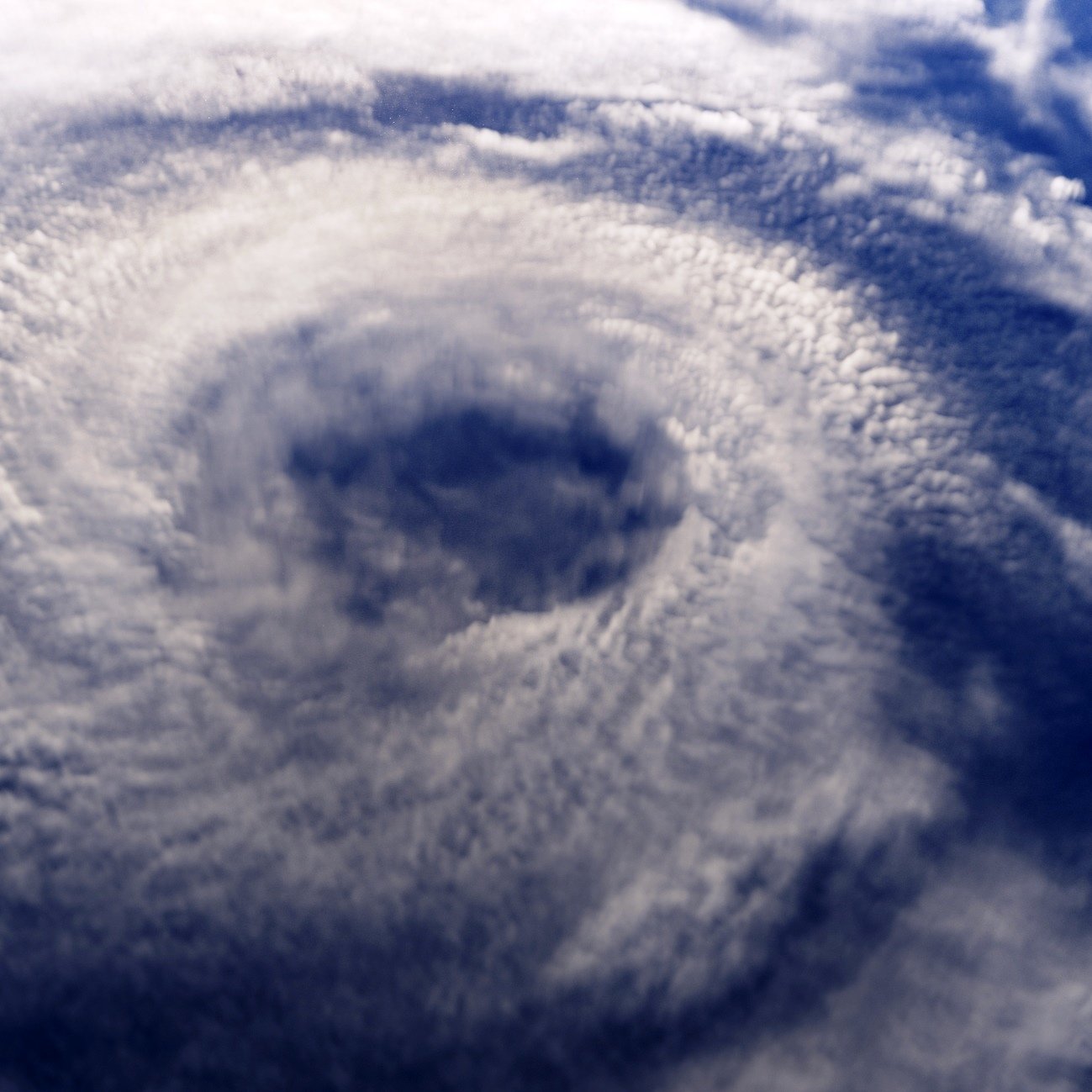
Tropical Storm Erin looks like it may bring a late-August threat to the Caribbean and possibly the East Coast or to the Gulf of Mexico. We all know that some tropical storms progress into hurricanes, while others simply fizzle out into scattered showers. What is odd about this tropical storm is that it has formed while it is still very close to Africa.
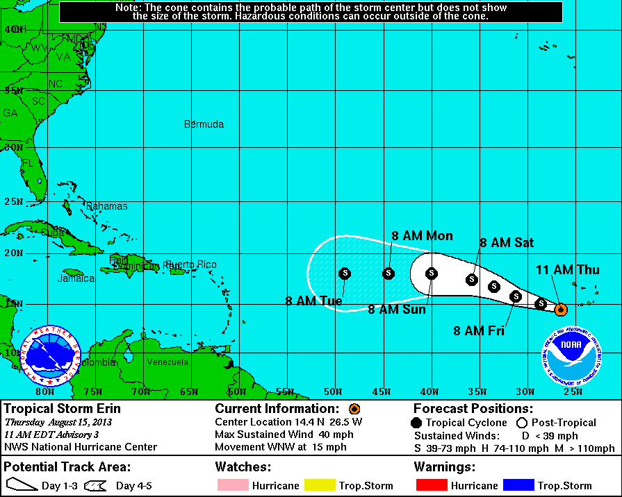
The storm is moving west by northwest as of Thursday, but the current cone path on the storm (see image below) currently shows it moving more due west after this weekend. Again, that can change, but this is the cone path projection as of now. This cone path projects that Tropical Storm Erin will remain a tropical storm without escalating into a hurricane nor lowering back down to a tropical depression.
Maximum sustained winds at this point are listed as 35 knots, or 40 miles per hour, and traveling west-northwest at 13 knots, or 15 miles per hour. It looks like we will have to do what the weathermen are doing here, which is simply wait and see. That is what will happen with the concerned citizens in the United States and elsewhere that can be affected by this storm.
Unfortunately, oil companies, insurance companies and other businesses likely are already having to make estimates (or guesstimates) for where this storm will go and when it will go there. Tropical storms and hurricanes cause up to billions of dollars worth of damage, and they take lives.
Contact [email protected] for any questions or corrections.