


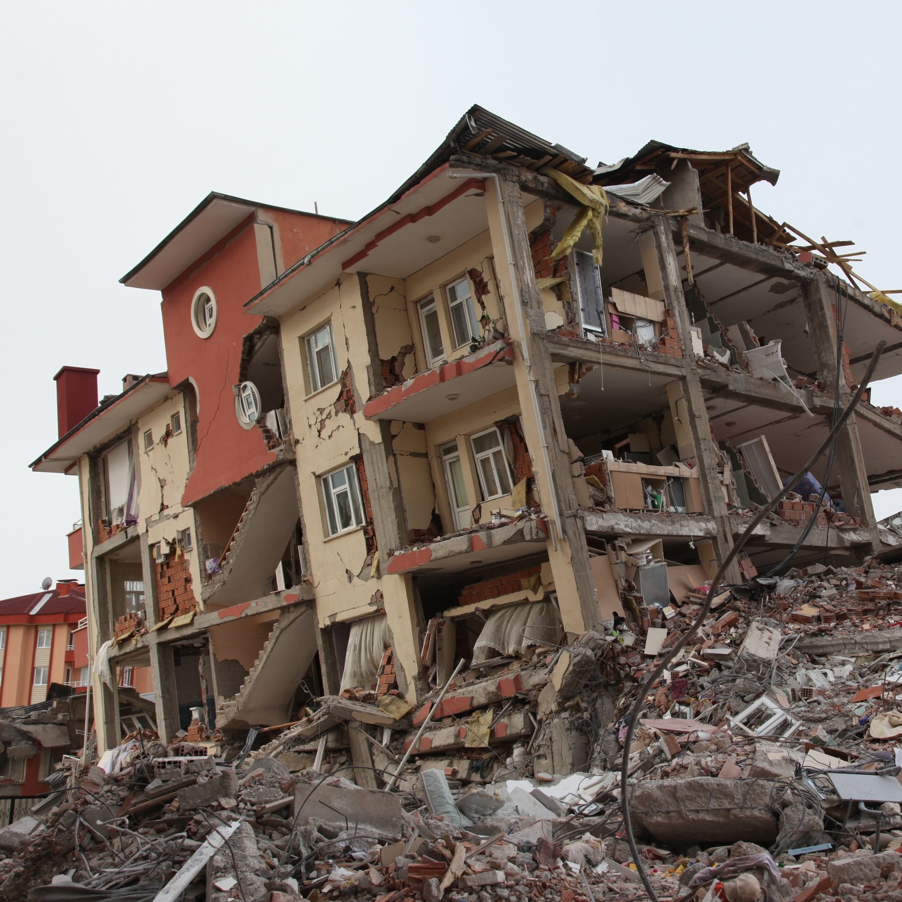
COMPARISON TO THE RECENT QUAKES:
It would be useful to compare of the San Francisco earthquake to those which recently occurred in Haiti, Indonesia, Chile, and Tibet. The circumstances of those events, however, are dramatically different: Three of those areas are relatively remote, and Haiti is heavily populated, but had virtually no earthquake-resistant structures. When compared to the 200,000 estimated dead in Haiti, FEMA’s projected 5,300 casualties from a large earthquake in San Francisco seems minor, but the potential infrastructure costs would be drastically higher in the bay city and the surrounding 19-county region expected to be affected by a major quake.
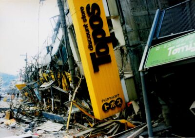
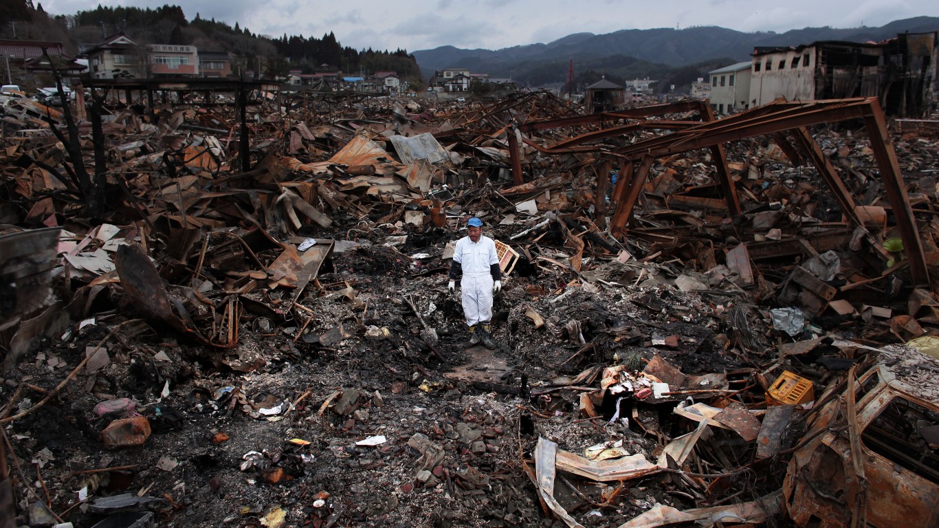
THE SAN FRANCISCO QUAKE OF 1906:
CONSIDERED DAMAGES:
RMS estimates that the value of exposed property in the area prone to a major quake is nearly $2 trillion dollars. City planners recognize the potential disaster that may be looming, and have taken as many steps as possible to protect buildings, residences and infrastructure. While the city tries to become more earthquake-resistant, some particularly vulnerable areas remain. Among these is the wharf development along the city’s water front, which was built on landfill and older structures. Through a process known as liquefaction, in which soft ground turns to something similar to quicksand, much of the coastal area of the city would sink into the ground or collapse into the bay.
It is certain that an earthquake similar to the massive quake in ’06 would do substantial damage to the city’s four main bridges: The Golden Gate, Oakland Bay, San Mateo-Heyward, and Dumbarton bridges, as well as the thousands of smaller spans in the region. Two of the region’s three main airports – Oakland International and San Francisco international, have been built largely on land deposits, and are particularly vulnerable to liquefaction. The freshwater basin, which abuts the bay, is built with a series of levees that separate the salt water from the fresh. In all likelihood, these levees would be breached and the region would lose much of its fresh water. The main conduit for the fresh water, called the Hetch Hetchy water system, runs from Yosemite national park and crosses multiple fault lines, making its destruction nearly certain as well. Perhaps the most expensive and problematic type of infrastructure at risk of destruction is the city’s utility network, which includes the power grid, telephone lines, sewer system, and broadband connections to almost every residence and office building in the 19-county region. Other potential losses in a quake include business opportunity costs from closed offices and reduced patronage and tourism, relocation expenses, and wage losses.
THE THREE STUDIES:
STANFORD:
RMS SAN FRANCISCO 2006:
The second estimate is prepared by insurance consulting firm Risk Management Solutions. RMS’s figure is $260 billion, and takes into account damages to residential and commercial structure, personal relocation expenses, and business interruption costs.
FEMA SAN FRANCISCO 2006:
The last estimate, which 24/7 Wall St. believes is the most comprehensive in terms of considered damages, was calculated using FEMA’s sophisticated disaster modeling software called HAZUS-MH. This program uses a broad variety of data sets, including population, epicenter, severity, duration, property value, and damage resistance of structures. The simulation also takes into account the business opportunity costs of a seismic event, wage losses and residence relocation costs. The FEMA estimate for a disaster identical to the 1906 earthquake is $150 billion.
THE 24/7 WALL ST. ESTIMATE:
Among the variables uniquely included in the 24/7 Wall St. analysis are the repair costs for destroyed public works, including bridges, ports, airports, freshwater levees, the phone and electric grid, and the sewage system, damage to the area’s freeways, and the massive cost of federal, state, and local government assistance in the disaster area.
COSTS OF GOVERNMENT ASSISTANCE:
To provide a reasonable estimate of the costs of government aid to San Francisco in the event of a repeat of the 1906 quake, 24/7 Wall St. has examined the costs of two of the most destructive natural disasters in American history: Hurricane Andrew and Hurricane Katrina.
KATRINA:
The most common assessments of the total government costs in the aftermath of Hurricane Katrina are between $100 billion and $200 billion. This cost includes the $100 billion in repairs to the 150,000 properties which sustained damage from the flooding, according to MSNBC, which also stated that the cost of business interruption and displacement of residences could be as much as $100 million a day. MSNBC quoted government sources as saying that Louisiana Representative William Jefferson requested $225 billion in federal outlays, and the television network predicted that the total cost between the insured and uninsured damages would be between $90 billion and $205 billion. The report stated that the congressional budget office expected the hurricane to cut U.S. GDP by .5% in the second half of 2005. At the time, that loss was an estimated $60 billion, only a fraction of the current projected losses in 2010 dollars. On September 13th, 2005, Congress had already allocated $62.3 billion for rescue, recovery, and repair. In addition, Standard and Poor’s said that the insurance payments triggered by the events, plus federal and state flood insurance, would be at least $40 billion. The sum of these numbers support S&P chief economist David Wyss’s statement: “it’s over a $200 billion event by the time you’re done with this.”
ANDREW:
Based on the value of the dollar in August in 1992, the direct costs of hurricane Andrew were $35 billion. When the number was adjusted for inflation in 2006, the National Oceanic & Atmospheric Administration put the cost at $41 billion in current dollars.
The damage done by each hurricane was spread over an area six times the size of the 19 counties that surround San Fransisco. The bay area, however, has a much more concentrated population within 100 miles in any direction from the city, creating the potential for a disaster of even greater economic impact than either of the two storms.
24/7 WALL ST. ESTIMATE FOR GOVERNMENT AID COSTS:
Based on 24/7 Wall St.’s analysis of the federal government costs for the Andrew and Katrina events using present dollars, the government’s cost of military assistance, relocation and temporary shelter for displaced populations, the buttressing of structures that could be further destroyed in the aftermath, particularly due to aftershocks, and the renewal of supply of fresh water, would be between $80 billion and $90 billion.
THE COSTS OF INFRASTRUCTURE REPAIR:
BRIDGES:
AIRPORTS:
In all likelihood, two of the three major airports – San Francisco International and Oakland International – would be destroyed in a major quake. The liquefaction process would put the San Francisco and Oakland runways underwater, requiring the replacement of a great deal of the landfill as well as the tarmacs themselves. The San Diego Airport cost $14 billion in today’s dollars to build. Considering there would theoretically be some salvageable materials from the original landfill, 24/7 Wall St. estimates the costs of rebuilding of the airports on the water and replacing the landfill would cost $10 billion each, bringing total costs for airport repair to $20 billion. This is conservative based on the number of airports next to major cities.
UTILITIES:
Virtually the entire telephone and electrical grid, as well as the sewer system in the 19 county area would have to be rebuilt from the ground up. 24/7 Wall St. has examined the cost of building electrical lines, replacing waste management infrastructure for a large city, and placing telephone cable, and estimated that the total cost would be $30 billion. This is based on federal government estimates of grid build-out as part of the government’s $787 billion bailout fund
THE LEVEES:
CONCLUSION: The total costs of a 7.9 earthquake occurring in the center of San Francisco are $390 billion: $150 billion for property damage, business interruption, and relocation costs; $90 billion in government aid expenditure; $60 billion to rebuild the region’s bridges; $20 billion to reconstruct the airports; $40 billion to repair the levee and reservoir system; $30 billion for replacing the utility grid.
Michael B. Sauter and Douglas A. Mcintyre
Additional Sources Of Interest:
Use the USGS’s interactive probability calculator to determine the likelihood of a major quake in your zip code.
The United States Geological Survey Earthquake Center
The Southern California Earthquake Center
More information on the San Joaquin River Delta and the levee system
The San Francisco Public Utilities Commission
The USGS section on liquifaction in the bay area
The Virtual Museum of The City’s Guide to the 1906 Quake
The USGS list of major earthquakes organized by year
More info on the San Andreas Fault
Port of San Francisco Financial Information
Additional Photos and Maps Of Interest:
An image of the Oakland International Airport
An image of the equally vulnerable San Francisco International Airport
An image of one of the Bay Area’s freshwater reservoirs, separated from the saltwater bay levees.
A map of the fault lines in the San Francisco area
A video of the 1989 quake in Loma Prieta, about 50 miles southeast of San Francisco
An image of the damage to the Oakland Bay Bridge from the Loma Prieta quake
An Image of Vulnerable Fisherman’s Wharf Property
Contact [email protected] for any questions or corrections.


