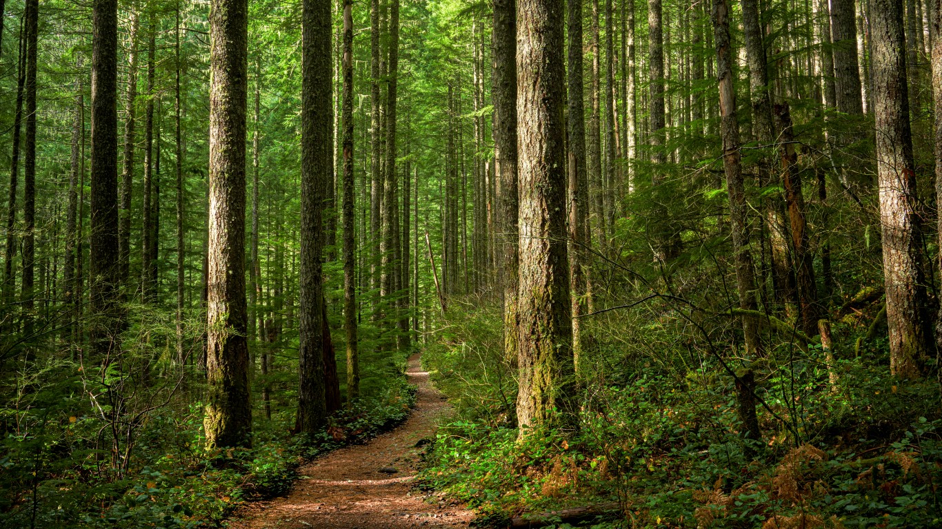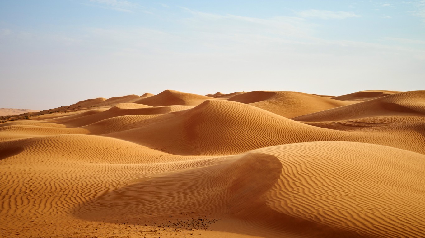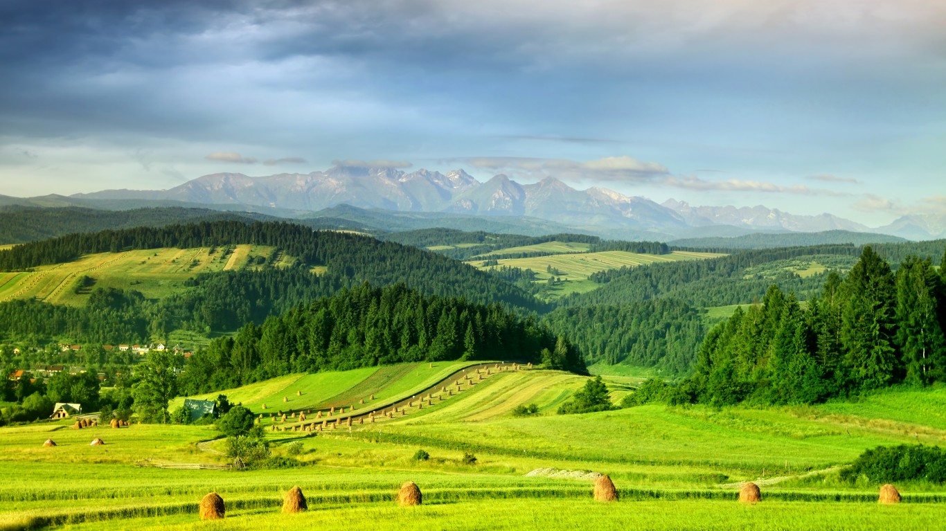
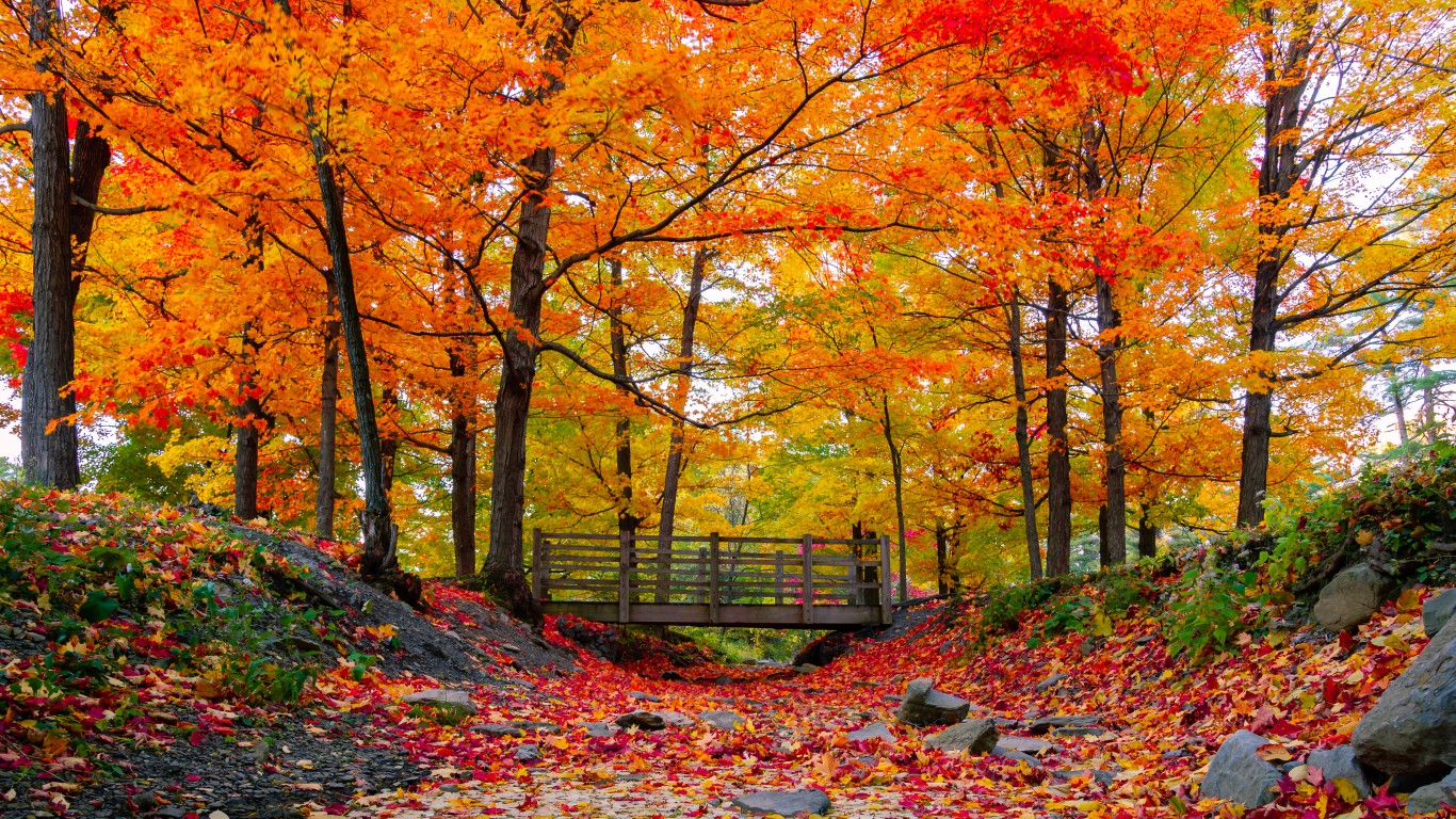
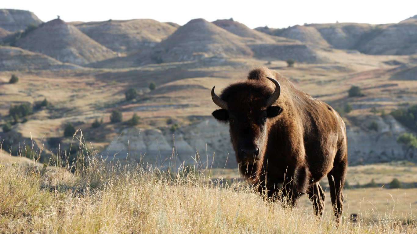
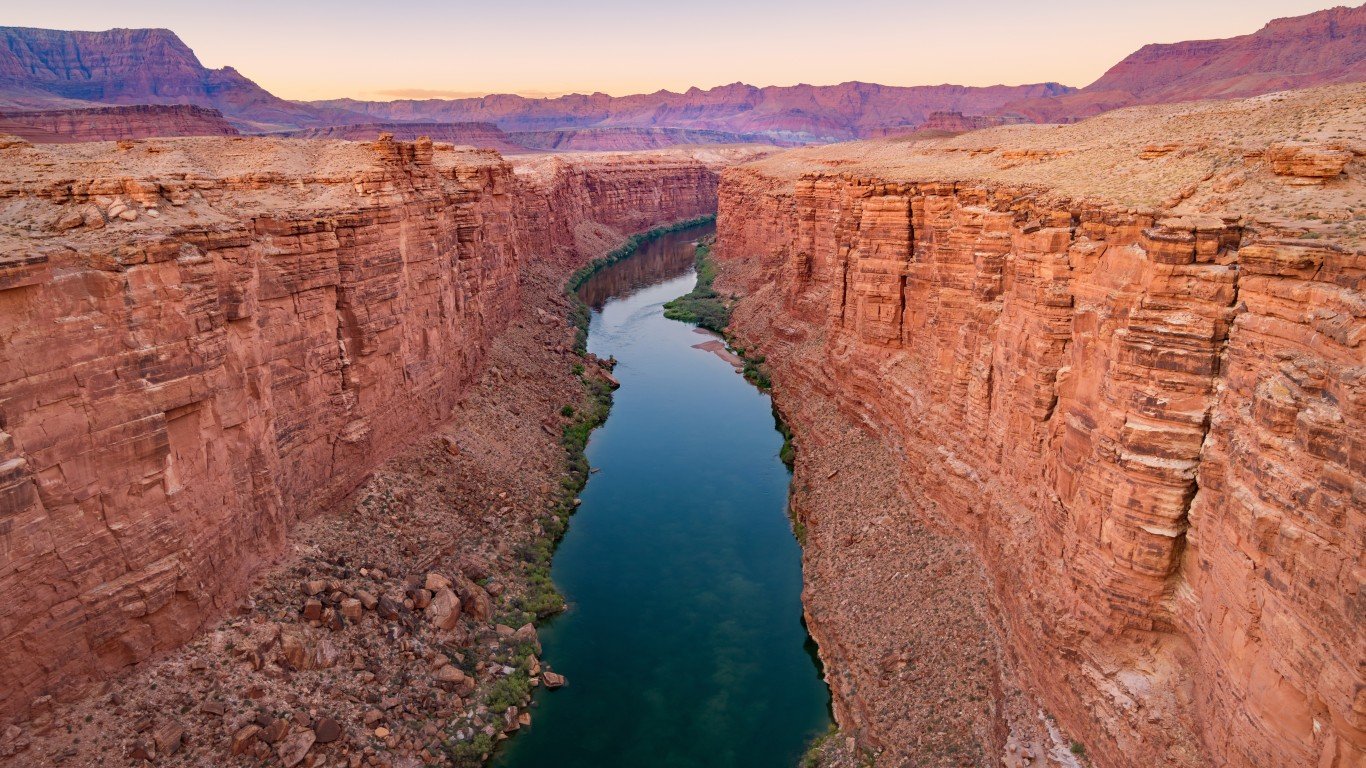
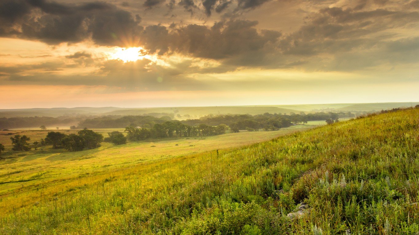
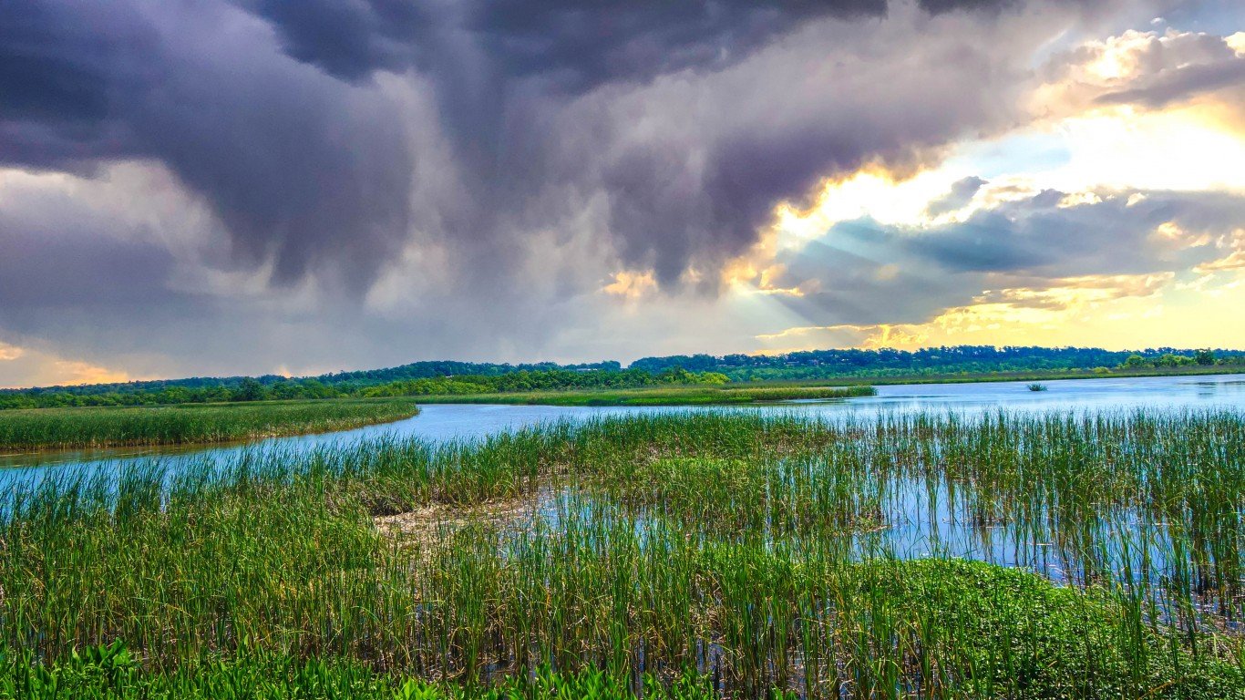
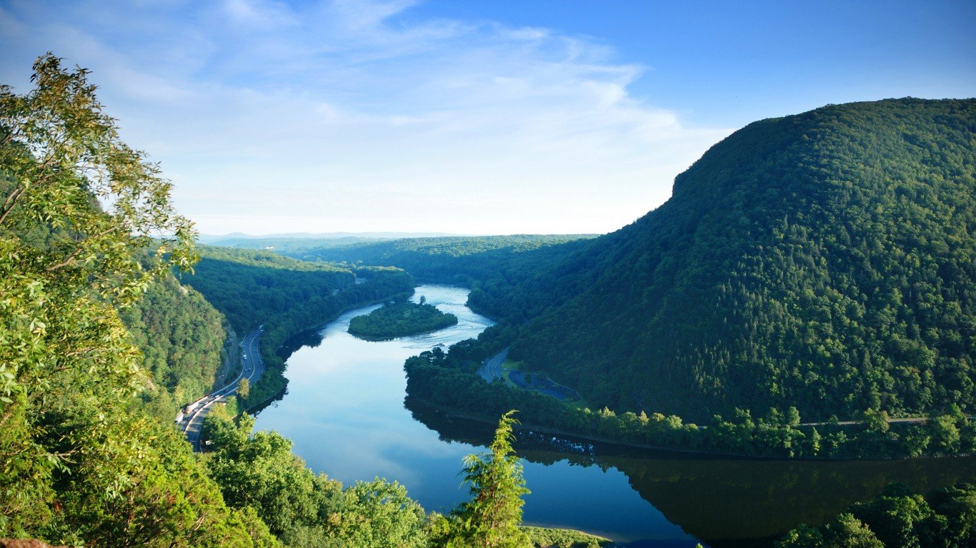
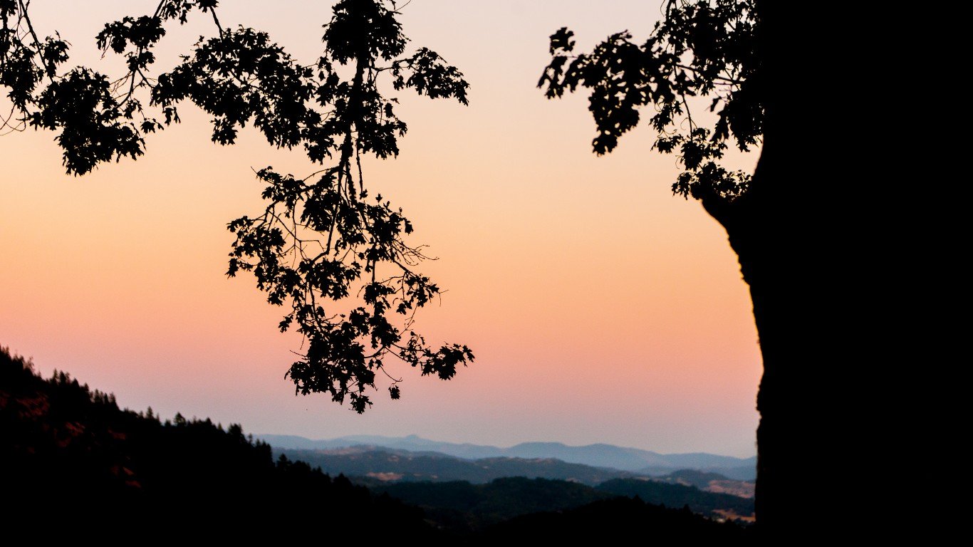
Spanning nearly 3.8 million square miles, the United States is one of the largest countries in the world by total landmass. From the Smokey Mountains to the Rocky Mountains and the Great Plains to the Great Lakes, it is also one of the most geographically diverse.
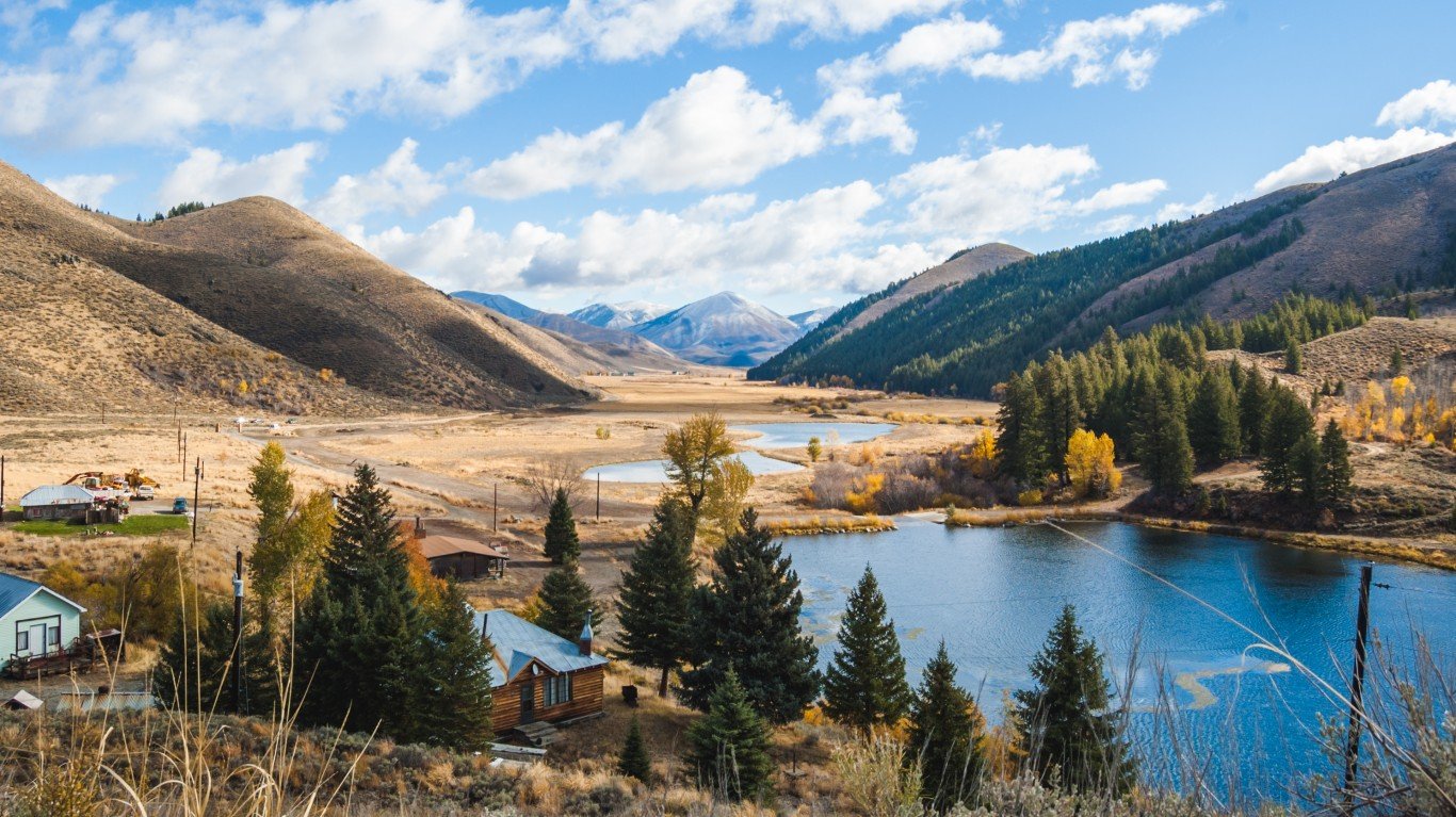
Not all states in the Lower 48 are equally endowed with that diversity, however. Some are defined largely by their geographic uniformity, while others have a wide range of varying landscapes, including mountains, deserts, farmland, forests, lakes, and cities. (If you like mountains, this is the highest point in every state.)
Using data from the U.S. Geological Survey, 24/7 Tempo has identified the states with the most diverse land cover and ranked them from the least to most diverse according to the probability that two random parcels of land are different land cover types. (Due to data limitations, Alaska and Hawaii are not included.)
Among the Lower 48 states, the odds that two randomly selected land parcels fall into different cover type categories range from about 33% to over 80%. While there are some notable exceptions, several of the most diverse states are also among the largest by square miles. Here is a look at the largest states in America.
Click here to see the states with the most diverse land use
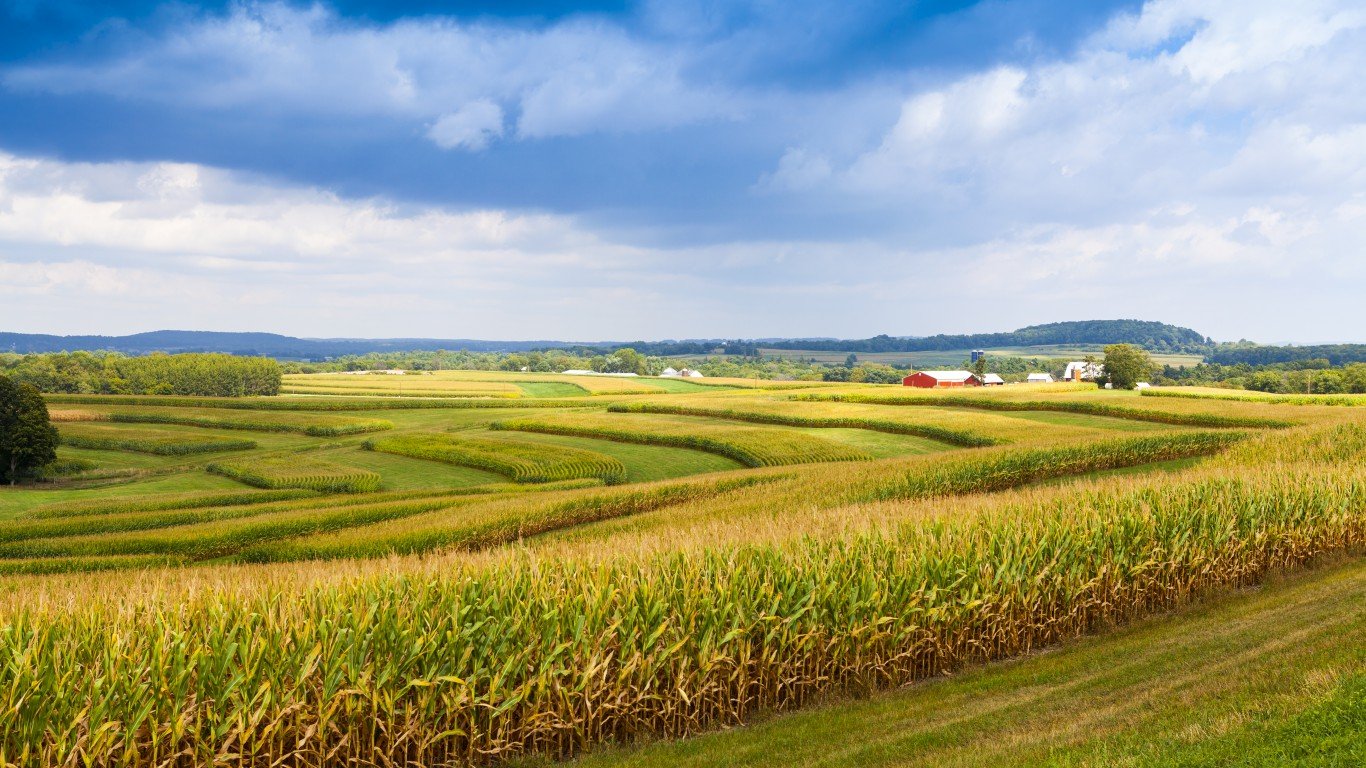
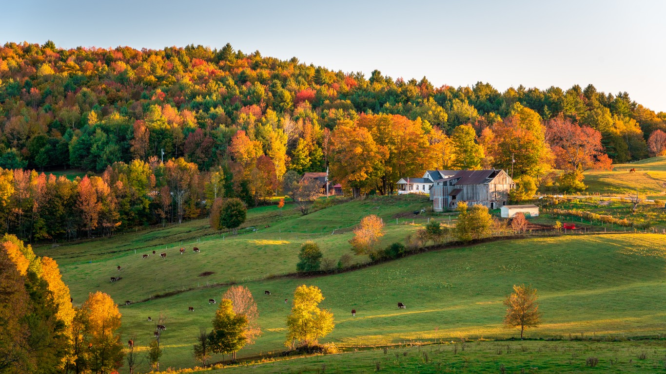
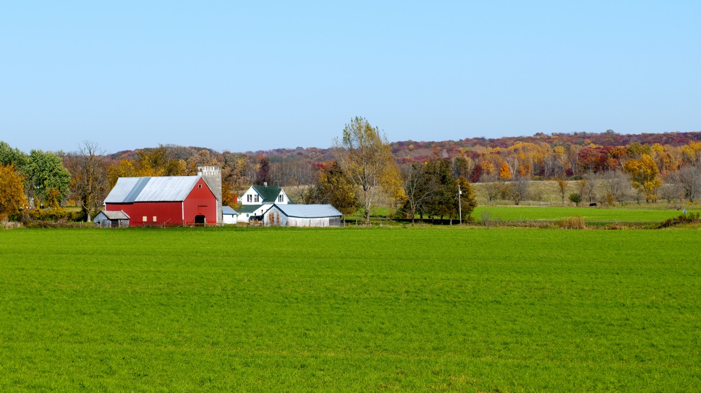
Depending on the state, the most common land cover type varies from deserts to farmland to shrub vegetation – though in most states, forests and woodland account for the largest share of land cover. In the least geographically diverse state, farms account for over 80% of land use, while in the most diverse states, no classification accounts for over 30%.
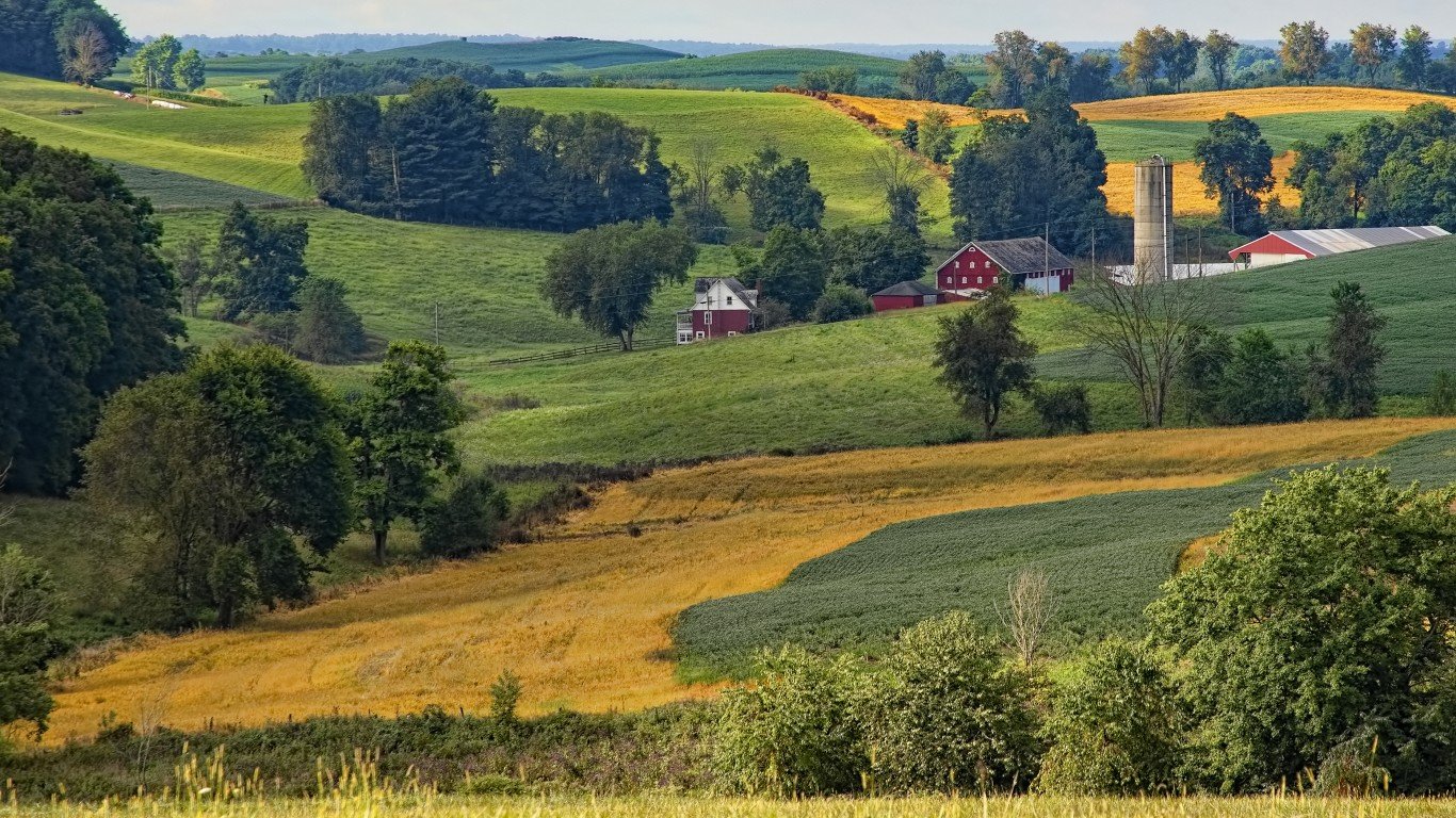
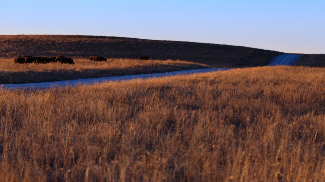
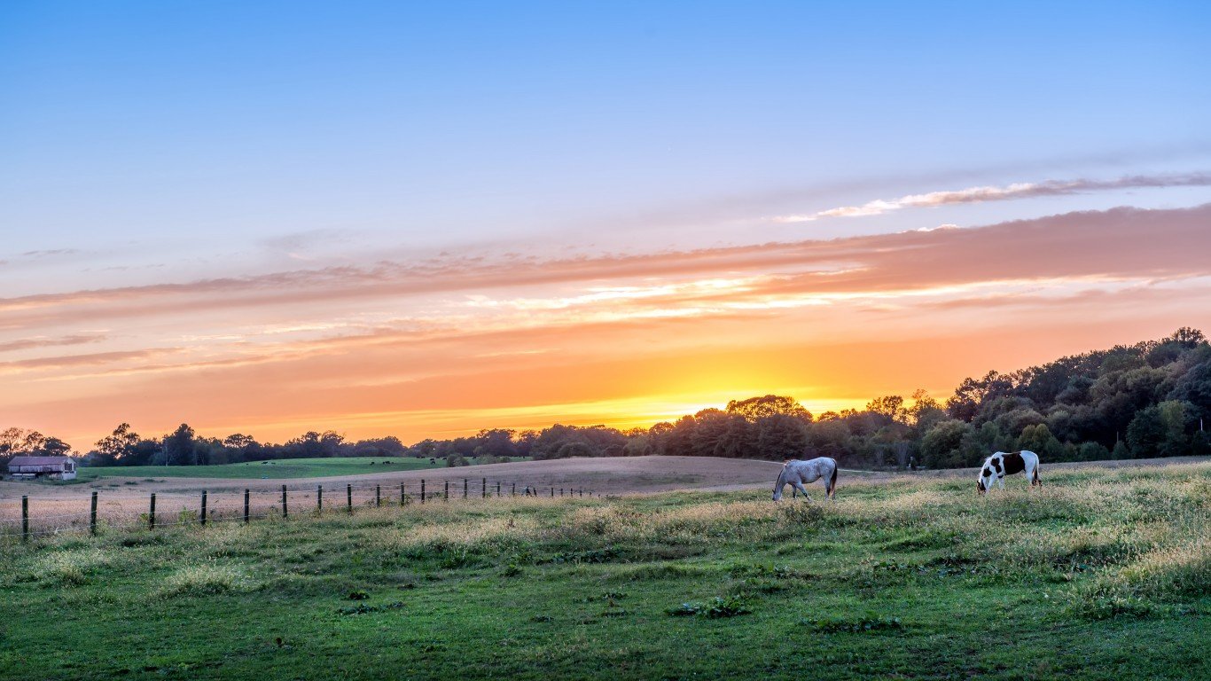
48. Iowa
> Likelihood two random parcels are different land cover types: 33.45%
> Largest land cover type: Agricultural & developed vegetation (80.6% of total surface area)
> Total area: 56,273 sq. miles
> Population: 3,150,011
[in-text-ad]
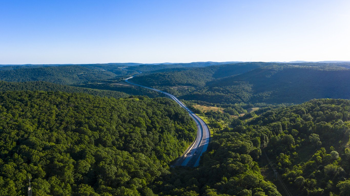
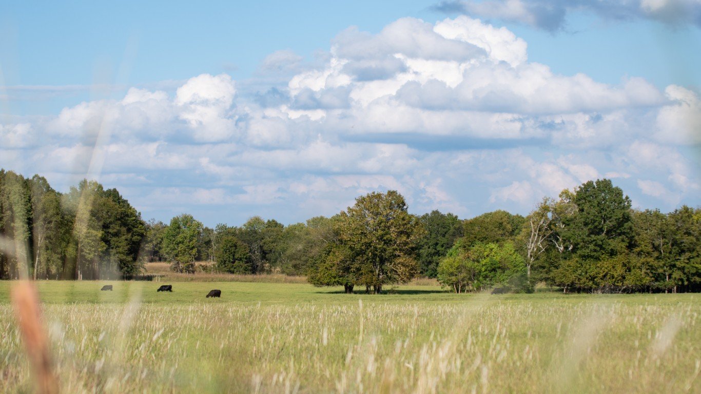
47. West Virginia
> Likelihood two random parcels are different land cover types: 34.39%
> Largest land cover type: Forest & woodland (80.1% of total surface area)
> Total area: 24,230 sq. miles
> Population: 1,807,426
[recirclink id=983813]
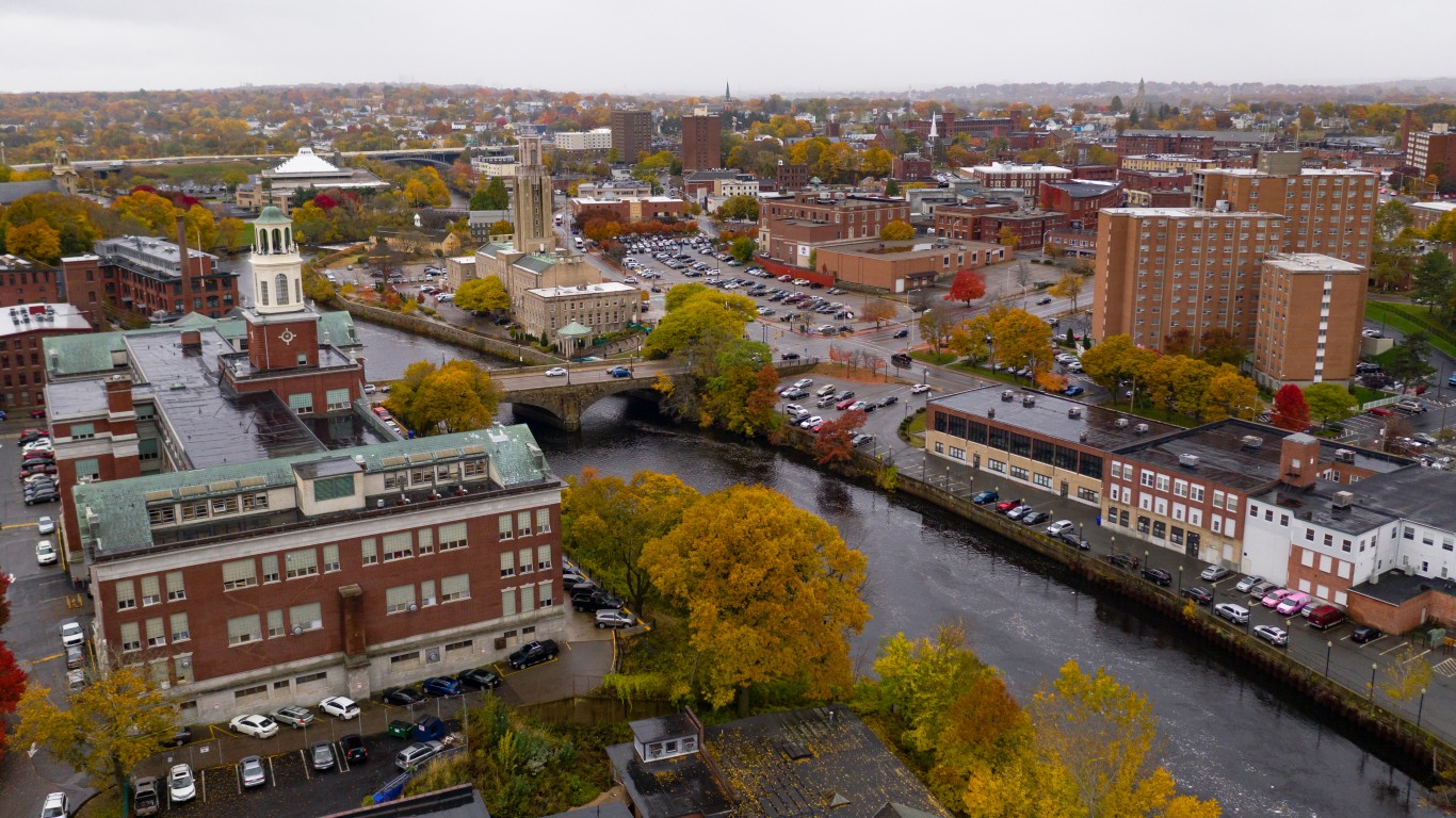
46. New Hampshire
> Likelihood two random parcels are different land cover types: 34.49%
> Largest land cover type: Forest & woodland (80.3% of total surface area)
> Total area: 9,349 sq. miles
> Population: 1,355,244
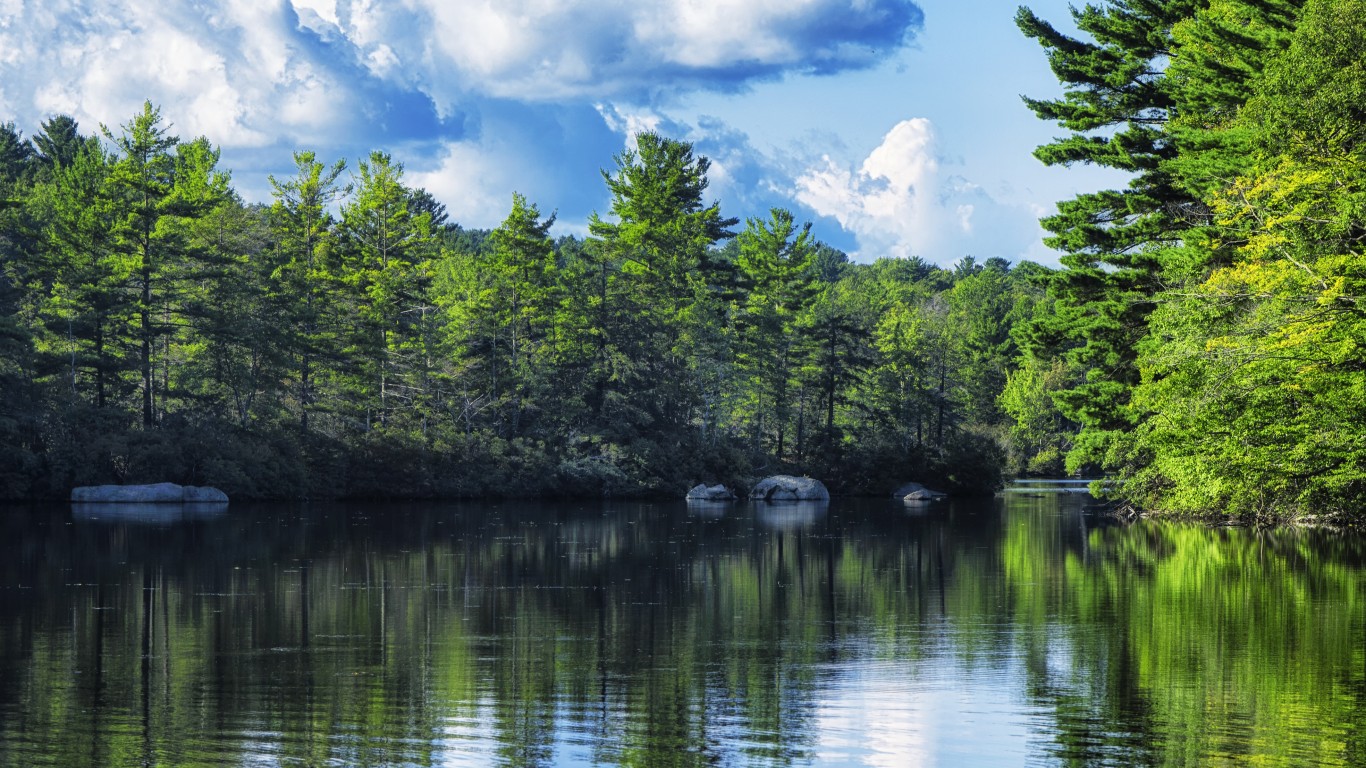
45. Maine
> Likelihood two random parcels are different land cover types: 39.55%
> Largest land cover type: Forest & woodland (76.6% of total surface area)
> Total area: 35,380 sq. miles
> Population: 1,340,825
[in-text-ad-2]
44. Vermont
> Likelihood two random parcels are different land cover types: 42.62%
> Largest land cover type: Forest & woodland (73.9% of total surface area)
> Total area: 9,616 sq. miles
> Population: 624,340
43. Nevada
> Likelihood two random parcels are different land cover types: 43.67%
> Largest land cover type: Desert & semi-desert (73.3% of total surface area)
> Total area: 110,572 sq. miles
> Population: 3,030,281
[in-text-ad]
42. Illinois
> Likelihood two random parcels are different land cover types: 51.09%
> Largest land cover type: Agricultural & developed vegetation (67.1% of total surface area)
> Total area: 57,914 sq. miles
> Population: 12,716,164
[recirclink id=1067142]
41. North Dakota
> Likelihood two random parcels are different land cover types: 53.36%
> Largest land cover type: Agricultural & developed vegetation (64.2% of total surface area)
> Total area: 70,698 sq. miles
> Population: 760,394
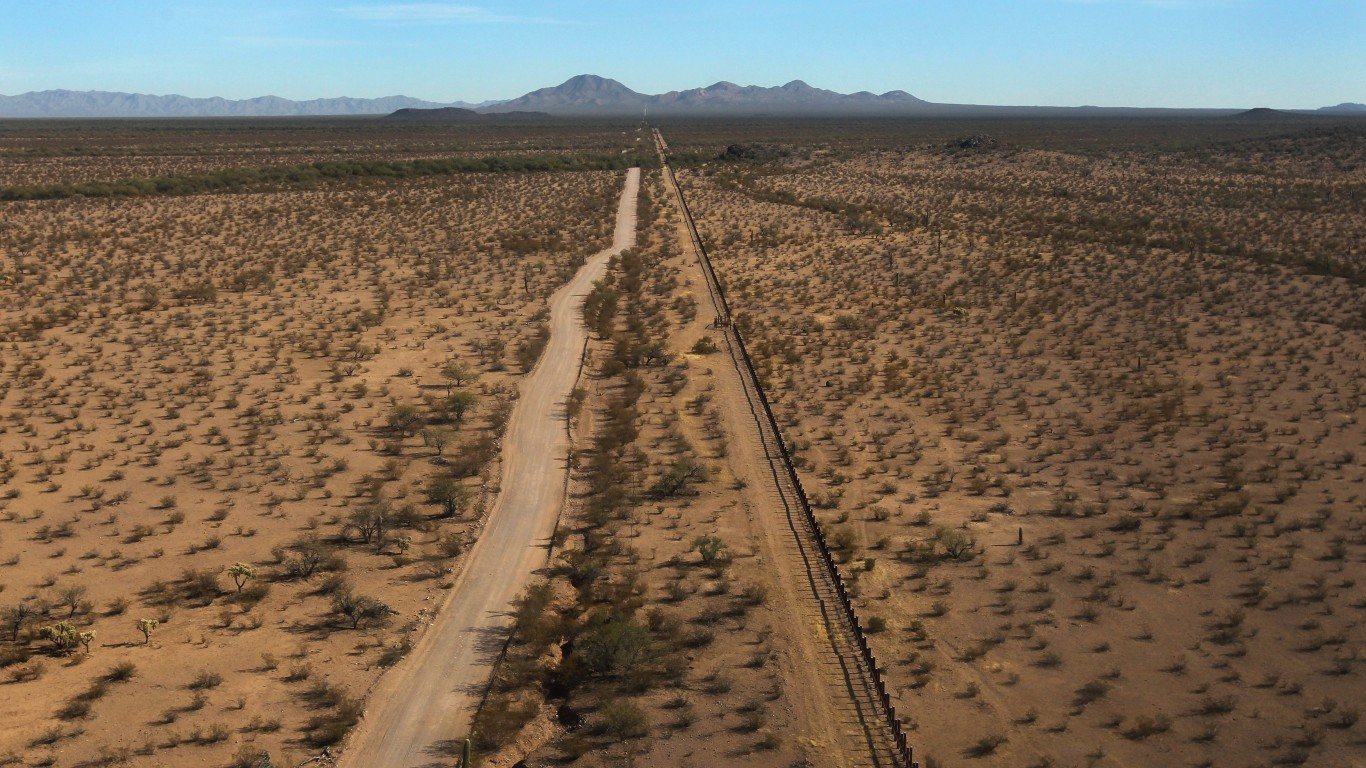
40. Arizona
> Likelihood two random parcels are different land cover types: 53.44%
> Largest land cover type: Desert & semi-desert (62.6% of total surface area)
> Total area: 113,990 sq. miles
> Population: 7,174,064
[in-text-ad-2]
39. Kansas
> Likelihood two random parcels are different land cover types: 53.51%
> Largest land cover type: Agricultural & developed vegetation (62.6% of total surface area)
> Total area: 82,278 sq. miles
> Population: 2,912,619
38. Indiana
> Likelihood two random parcels are different land cover types: 54.31%
> Largest land cover type: Agricultural & developed vegetation (62.3% of total surface area)
> Total area: 36,420 sq. miles
> Population: 6,696,893
[in-text-ad]
37. Alabama
> Likelihood two random parcels are different land cover types: 57.55%
> Largest land cover type: Forest & woodland (61.4% of total surface area)
> Total area: 52,420 sq. miles
> Population: 4,893,186
[recirclink id=1050818]
36. Pennsylvania
> Likelihood two random parcels are different land cover types: 57.73%
> Largest land cover type: Forest & woodland (59.6% of total surface area)
> Total area: 46,054 sq. miles
> Population: 12,794,885
35. Missouri
> Likelihood two random parcels are different land cover types: 57.74%
> Largest land cover type: Agricultural & developed vegetation (52.9% of total surface area)
> Total area: 69,707 sq. miles
> Population: 6,124,160
[in-text-ad-2]
34. Nebraska
> Likelihood two random parcels are different land cover types: 57.90%
> Largest land cover type: Shrub & herb vegetation (50.5% of total surface area)
> Total area: 77,348 sq. miles
> Population: 1,923,826
33. Arkansas
> Likelihood two random parcels are different land cover types: 58.61%
> Largest land cover type: Forest & woodland (53.8% of total surface area)
> Total area: 53,179 sq. miles
> Population: 3,011,873
[in-text-ad]
32. Mississippi
> Likelihood two random parcels are different land cover types: 60.70%
> Largest land cover type: Forest & woodland (56.0% of total surface area)
> Total area: 48,432 sq. miles
> Population: 2,981,835
[recirclink id=1033332]
31. Georgia
> Likelihood two random parcels are different land cover types: 60.83%
> Largest land cover type: Forest & woodland (58.2% of total surface area)
> Total area: 59,425 sq. miles
> Population: 10,516,579
30. Kentucky
> Likelihood two random parcels are different land cover types: 61.14%
> Largest land cover type: Forest & woodland (52.2% of total surface area)
> Total area: 40,408 sq. miles
> Population: 4,461,952
[in-text-ad-2]
29. Connecticut
> Likelihood two random parcels are different land cover types: 61.31%
> Largest land cover type: Forest & woodland (56.2% of total surface area)
> Total area: 5,543 sq. miles
> Population: 3,570,549
28. South Dakota
> Likelihood two random parcels are different land cover types: 62.43%
> Largest land cover type: Shrub & herb vegetation (46.0% of total surface area)
> Total area: 77,116 sq. miles
> Population: 879,336
[in-text-ad]

27. Wyoming
> Likelihood two random parcels are different land cover types: 62.51%
> Largest land cover type: Desert & semi-desert (56.3% of total surface area)
> Total area: 97,813 sq. miles
> Population: 581,348
[recirclink id=918190]
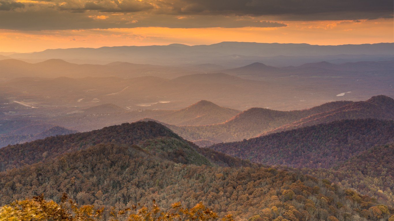
26. Virginia
> Likelihood two random parcels are different land cover types: 62.98%
> Largest land cover type: Forest & woodland (55.9% of total surface area)
> Total area: 42,775 sq. miles
> Population: 8,509,358
25. Tennessee
> Likelihood two random parcels are different land cover types: 63.19%
> Largest land cover type: Forest & woodland (51.7% of total surface area)
> Total area: 42,144 sq. miles
> Population: 6,772,268
[in-text-ad-2]
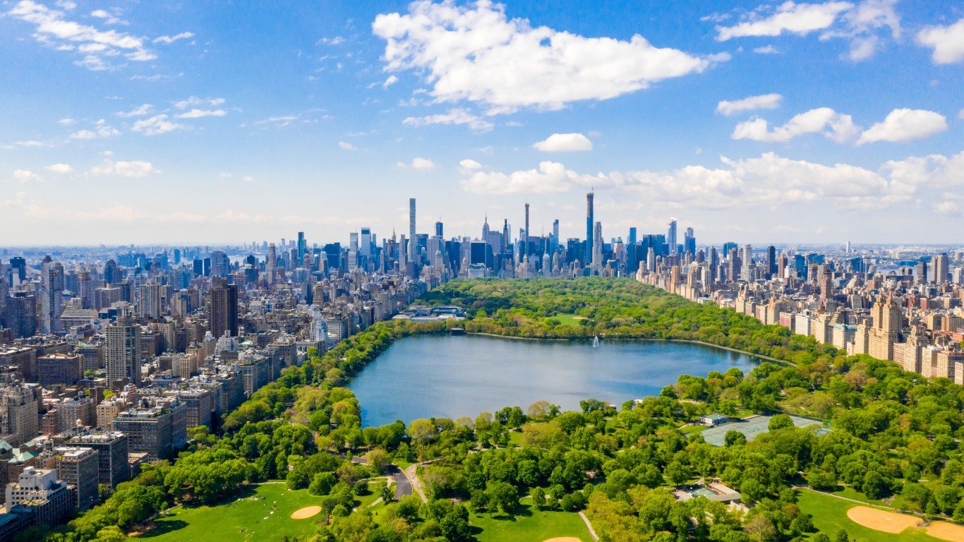
24. New York
> Likelihood two random parcels are different land cover types: 63.59%
> Largest land cover type: Forest & woodland (54.2% of total surface area)
> Total area: 54,555 sq. miles
> Population: 19,514,849
23. South Carolina
> Likelihood two random parcels are different land cover types: 63.89%
> Largest land cover type: Forest & woodland (56.0% of total surface area)
> Total area: 32,020 sq. miles
> Population: 5,091,517
[in-text-ad]
22. Minnesota
> Likelihood two random parcels are different land cover types: 64.21%
> Largest land cover type: Agricultural & developed vegetation (43.9% of total surface area)
> Total area: 86,936 sq. miles
> Population: 5,600,166
[recirclink id=983813]
21. Massachusetts
> Likelihood two random parcels are different land cover types: 66.34%
> Largest land cover type: Forest & woodland (49.6% of total surface area)
> Total area: 10,554 sq. miles
> Population: 6,873,003
20. Ohio
> Likelihood two random parcels are different land cover types: 66.37%
> Largest land cover type: Agricultural & developed vegetation (47.2% of total surface area)
> Total area: 44,826 sq. miles
> Population: 11,675,275
[in-text-ad-2]
19. Wisconsin
> Likelihood two random parcels are different land cover types: 67.89%
> Largest land cover type: Forest & woodland (41.9% of total surface area)
> Total area: 65,496 sq. miles
> Population: 5,806,975
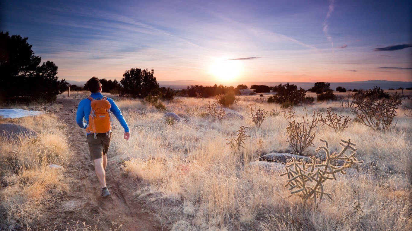
18. New Mexico
> Likelihood two random parcels are different land cover types: 68.22%
> Largest land cover type: Desert & semi-desert (40.7% of total surface area)
> Total area: 121,590 sq. miles
> Population: 2,097,021
[in-text-ad]
17. Michigan
> Likelihood two random parcels are different land cover types: 68.23%
> Largest land cover type: Open water (41.3% of total surface area)
> Total area: 96,714 sq. miles
> Population: 9,973,907
[recirclink id=1067142]
16. Oklahoma
> Likelihood two random parcels are different land cover types: 69.49%
> Largest land cover type: Agricultural & developed vegetation (46.4% of total surface area)
> Total area: 69,899 sq. miles
> Population: 3,949,342
15. Rhode Island
> Likelihood two random parcels are different land cover types: 69.51%
> Largest land cover type: Forest & woodland (39.5% of total surface area)
> Total area: 1,545 sq. miles
> Population: 1,057,798
[in-text-ad-2]
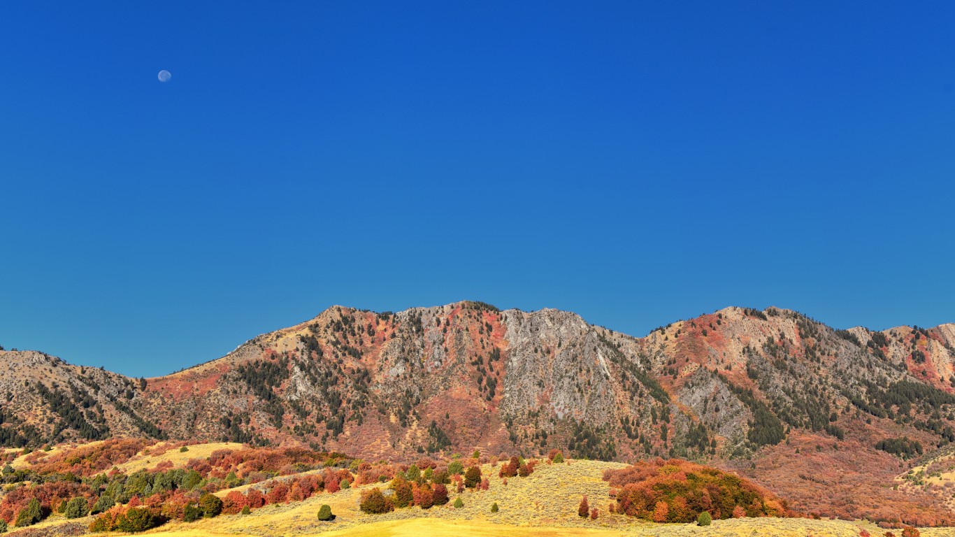
14. Utah
> Likelihood two random parcels are different land cover types: 69.76%
> Largest land cover type: Desert & semi-desert (44.1% of total surface area)
> Total area: 84,897 sq. miles
> Population: 3,151,239
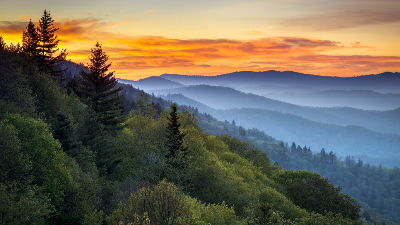
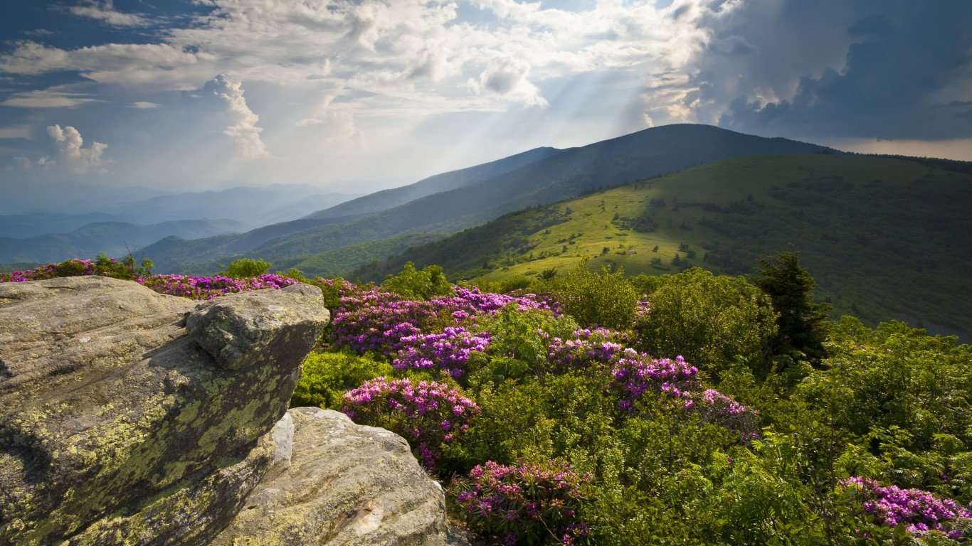
13. North Carolina
> Likelihood two random parcels are different land cover types: 70.03%
> Largest land cover type: Forest & woodland (47.9% of total surface area)
> Total area: 53,819 sq. miles
> Population: 10,386,227
[in-text-ad]
12. Oregon
> Likelihood two random parcels are different land cover types: 71.22%
> Largest land cover type: Forest & woodland (41.3% of total surface area)
> Total area: 98,379 sq. miles
> Population: 4,176,346
[recirclink id=1050818]
11. Idaho
> Likelihood two random parcels are different land cover types: 72.66%
> Largest land cover type: Forest & woodland (35.8% of total surface area)
> Total area: 83,569 sq. miles
> Population: 1,754,367
10. New Jersey
> Likelihood two random parcels are different land cover types: 73.23%
> Largest land cover type: Forest & woodland (38.8% of total surface area)
> Total area: 8,723 sq. miles
> Population: 8,885,418
[in-text-ad-2]
9. Florida
> Likelihood two random parcels are different land cover types: 74.29%
> Largest land cover type: Forest & woodland (42.8% of total surface area)
> Total area: 65,758 sq. miles
> Population: 21,216,924
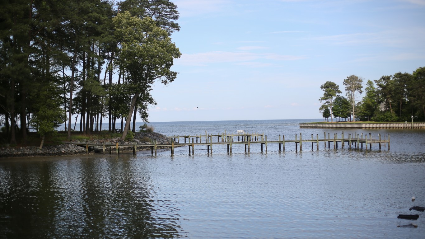
8. Maryland
> Likelihood two random parcels are different land cover types: 75.58%
> Largest land cover type: Forest & woodland (33.3% of total surface area)
> Total area: 12,406 sq. miles
> Population: 6,037,624
[in-text-ad]
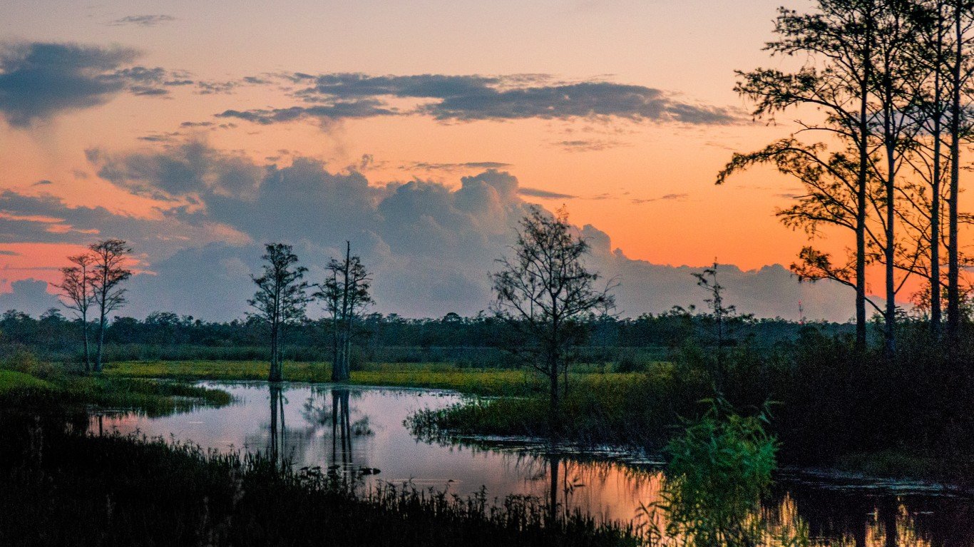
7. Louisiana
> Likelihood two random parcels are different land cover types: 76.23%
> Largest land cover type: Forest & woodland (37.9% of total surface area)
> Total area: 52,378 sq. miles
> Population: 4,664,616
[recirclink id=1033332]
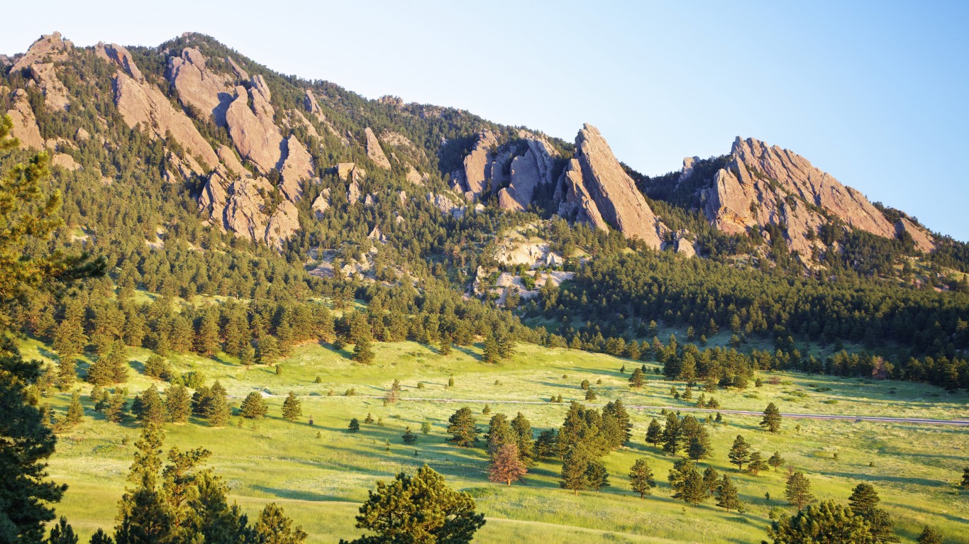
6. Colorado
> Likelihood two random parcels are different land cover types: 76.56%
> Largest land cover type: Shrub & herb vegetation (31.4% of total surface area)
> Total area: 104,094 sq. miles
> Population: 5,684,926
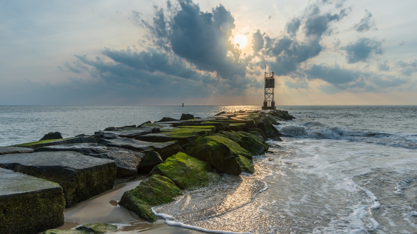
5. Delaware
> Likelihood two random parcels are different land cover types: 76.63%
> Largest land cover type: Agricultural & developed vegetation (33.1% of total surface area)
> Total area: 2,489 sq. miles
> Population: 967,679
[in-text-ad-2]
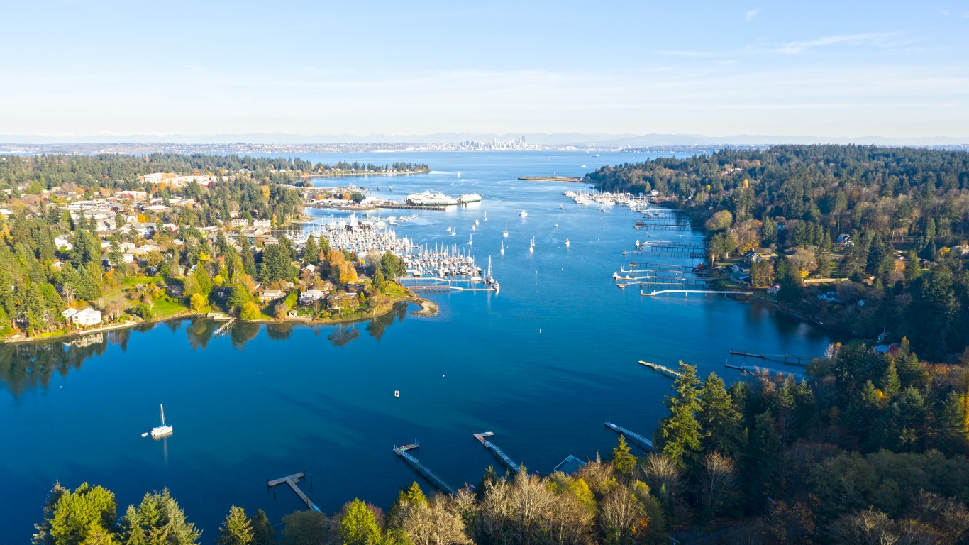
4. Washington
> Likelihood two random parcels are different land cover types: 77.06%
> Largest land cover type: Forest & woodland (39.7% of total surface area)
> Total area: 71,298 sq. miles
> Population: 7,512,465
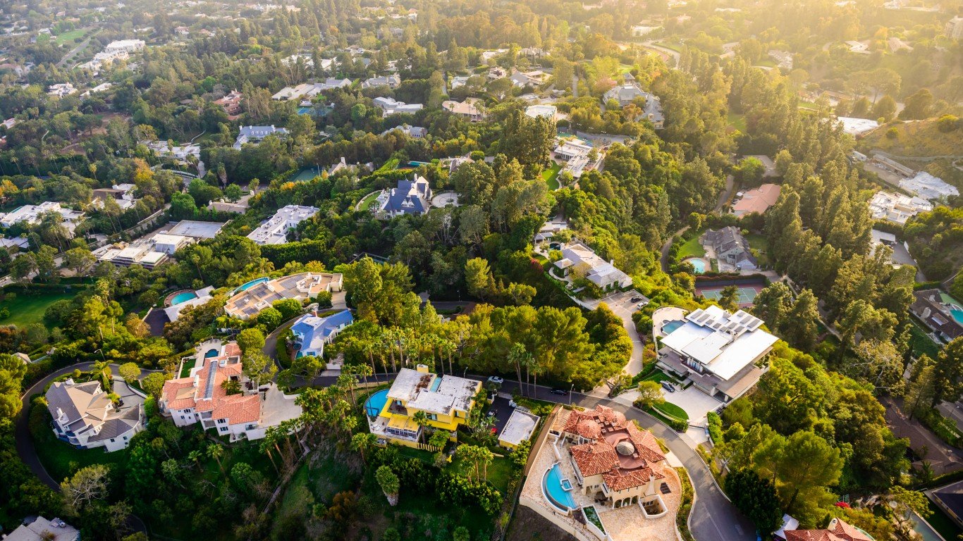
3. California
> Likelihood two random parcels are different land cover types: 77.92%
> Largest land cover type: Forest & woodland (32.6% of total surface area)
> Total area: 163,695 sq. miles
> Population: 39,346,023
[in-text-ad]
2. Montana
> Likelihood two random parcels are different land cover types: 78.49%
> Largest land cover type: Shrub & herb vegetation (28.9% of total surface area)
> Total area: 147,040 sq. miles
> Population: 1,061,705
[recirclink id=918190]
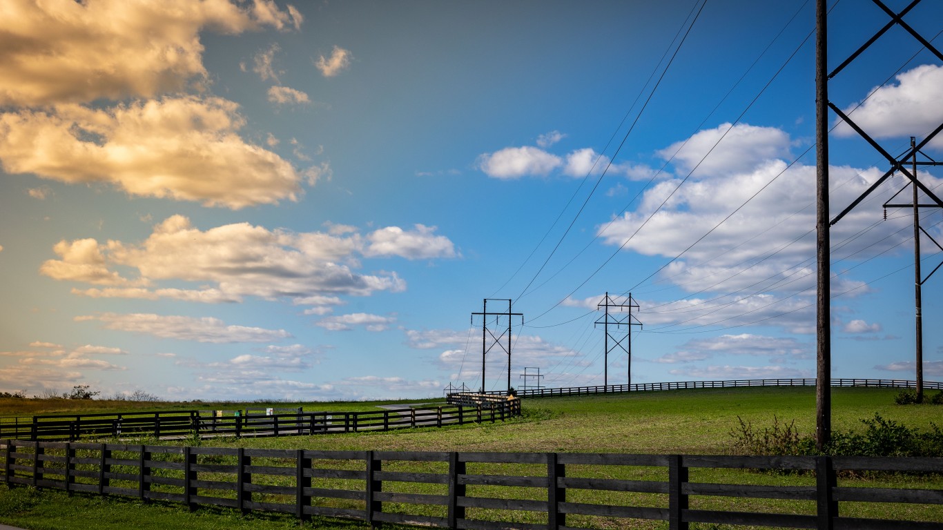
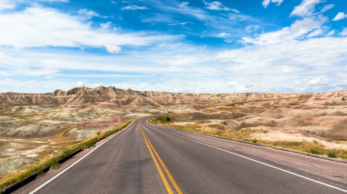
1. Texas
> Likelihood two random parcels are different land cover types: 80.24%
> Largest land cover type: Agricultural & developed vegetation (26.7% of total surface area)
> Total area: 268,596 sq. miles
> Population: 28,635,442
Methodology
To determine America’s states with the most diverse lane use, 24/7 Tempo reviewed data on land use from the the United States Geological Survey and created a land cover diversity index. States that score higher have a greater diversity of land use. All states were included except Alaska and Hawaii, for which updated land use data was unavailable.
The probability that any two units of land picked at random will belong to different land use categories is equivalent to the sum of the squares of each group’s share of total, subtracted from 1. The same method is used in the USA Today Diversity Index. Data on population size and land area came from the U.S. Census Bureau’s 2020 American Community Survey.
Contact [email protected] for any questions or corrections.